Trenton is a city in Fannin and Grayson counties, Texas, United States. The population was 635 at the 2010 census.
| Name: | Trenton city |
|---|---|
| LSAD Code: | 25 |
| LSAD Description: | city (suffix) |
| State: | Texas |
| County: | Fannin County |
| Elevation: | 761 ft (232 m) |
| Total Area: | 1.88 sq mi (4.85 km²) |
| Land Area: | 1.87 sq mi (4.85 km²) |
| Water Area: | 0.00 sq mi (0.00 km²) |
| Total Population: | 635 |
| Population Density: | 364.66/sq mi (140.83/km²) |
| ZIP code: | 75490 |
| Area code: | 430, 903 |
| FIPS code: | 4873592 |
| GNISfeature ID: | 1370102 |
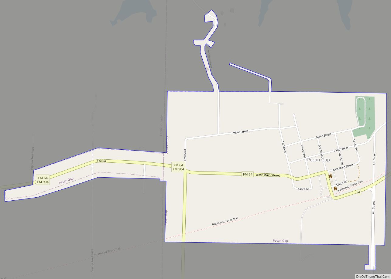
Online Interactive Map
Click on ![]() to view map in "full screen" mode.
to view map in "full screen" mode.
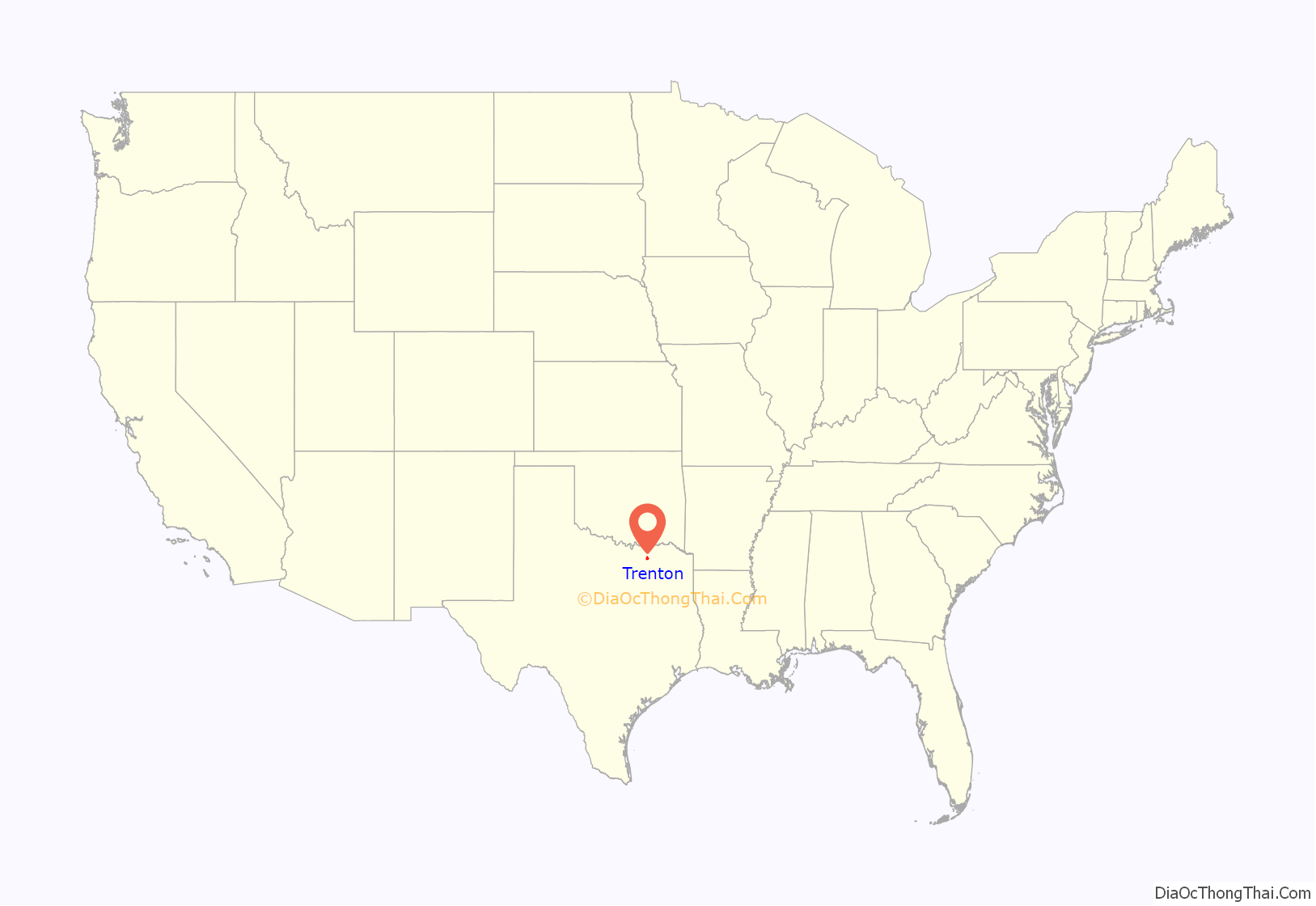
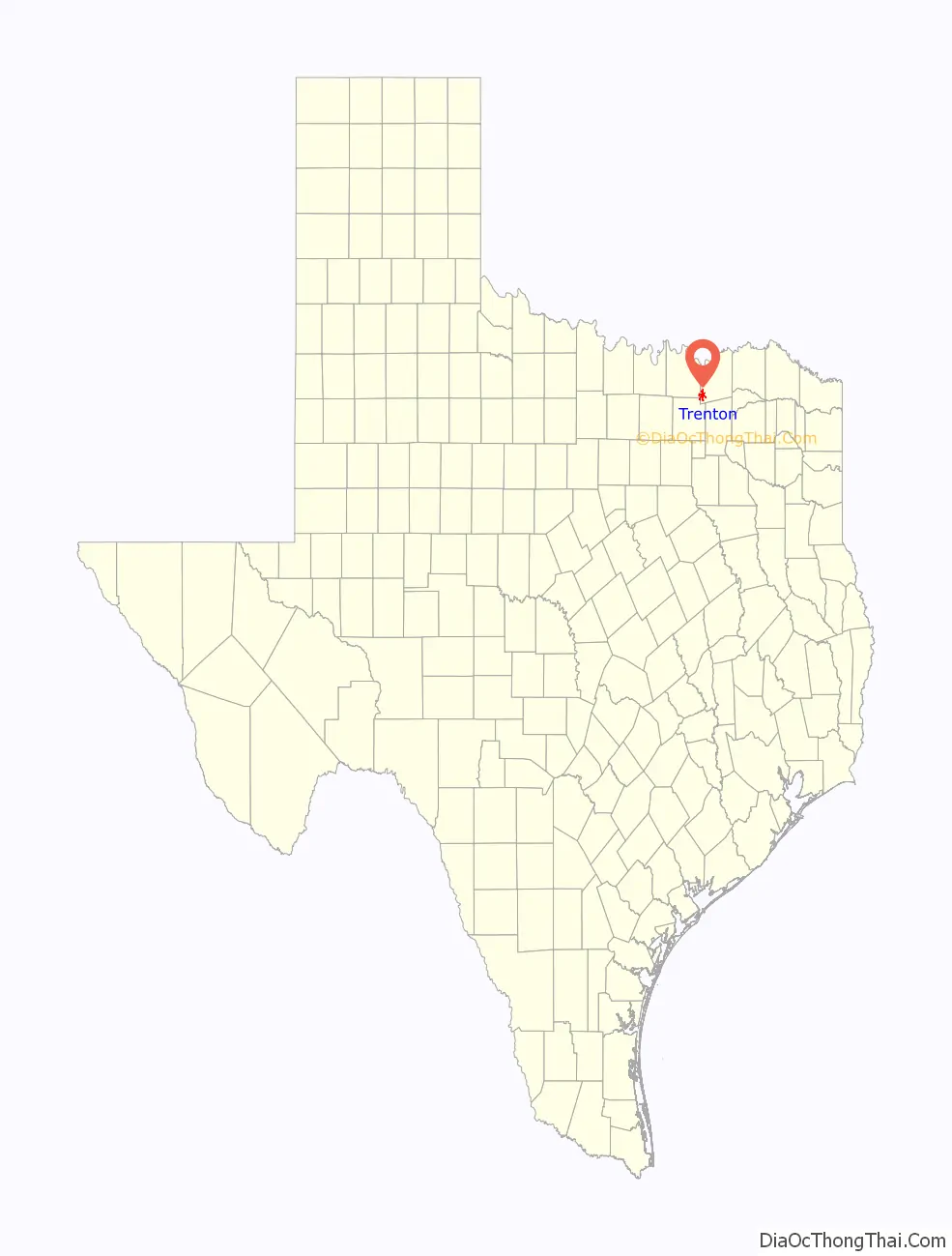
Trenton location map. Where is Trenton city?
History
Settlers from Tennessee arrived from their home state in 1852. At the time of their arrival, the settlement and surrounding area was known by the colorful name of “Wild Cat Thicket”. With the arrival of the Missouri, Kansas and Texas Railroad, a townsite was platted by Dr. W. C. Holmes, a pioneer physician and editor of Trenton Tribune, and known as “the father of Trenton”. The name “Trenton” was submitted to the postal authorities (after Trenton, New Jersey), and the post office opened under that name in 1881.
The railroad drew people to Trenton from nearby communities, and a depot was built. The first population figures available show 200 people living there in the mid-1880s. Fifteen years later the population was 300 and the town had a school and all essential businesses, including a newspaper, a steam gristmill, a hotel, and a boardinghouse. At that time it became a major shipping origination point for cotton, corn, and oats produced by area farmers. A national bank was opened in Trenton in 1901 and by 1914 was capitalized at $40,000. By the mid-1920s the population had risen to just over 600 people, and the Trenton school system had 300 students enrolled. In the early 1930s farmers in the vicinity, influenced by the success of local farmer P. E. Brown, began large-scale commercial production of onions. This new crop grew rapidly in importance, and production reached a peak in 1933 when 158 rail carloads were shipped from Trenton. The effects of the Great Depression were devastating in the region, and by 1936 Trenton’s population had declined to less than 500. During this time of economic hardship, the number of businesses serving the community dwindled to 28. With the recovery of the economy, the population also began to rise, with 634 reported in 1948 to an all-time high of 712 by 1967. In 1977 Trenton reported 615 residents and seventeen businesses. By the early 1980s the town had become the third-largest shipping point for onions in North Texas. It had an estimated 682 people and twenty businesses by 1988. In 1990 its population totaled 655, and in 2000 662 people made up the town.
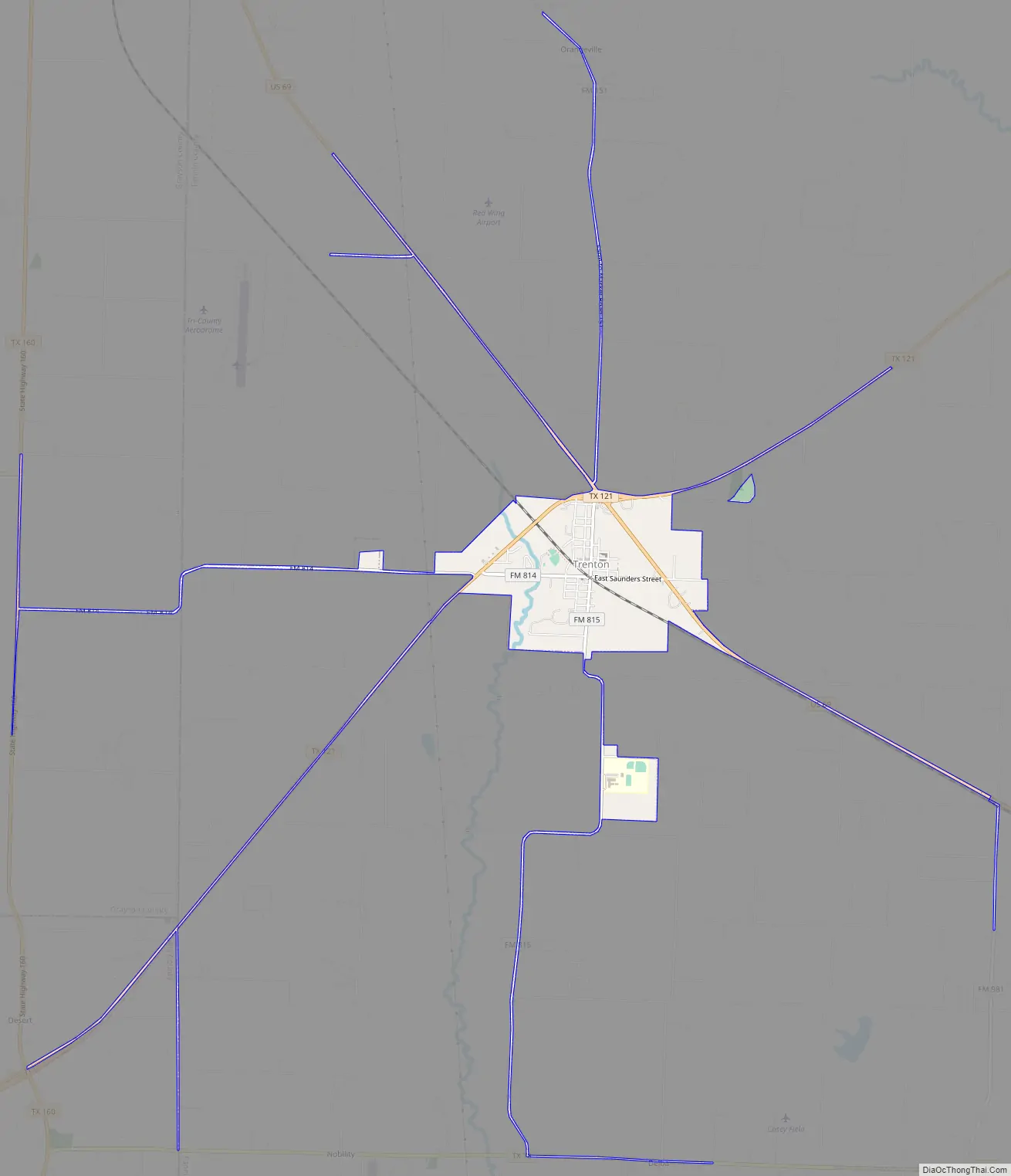
Trenton Road Map
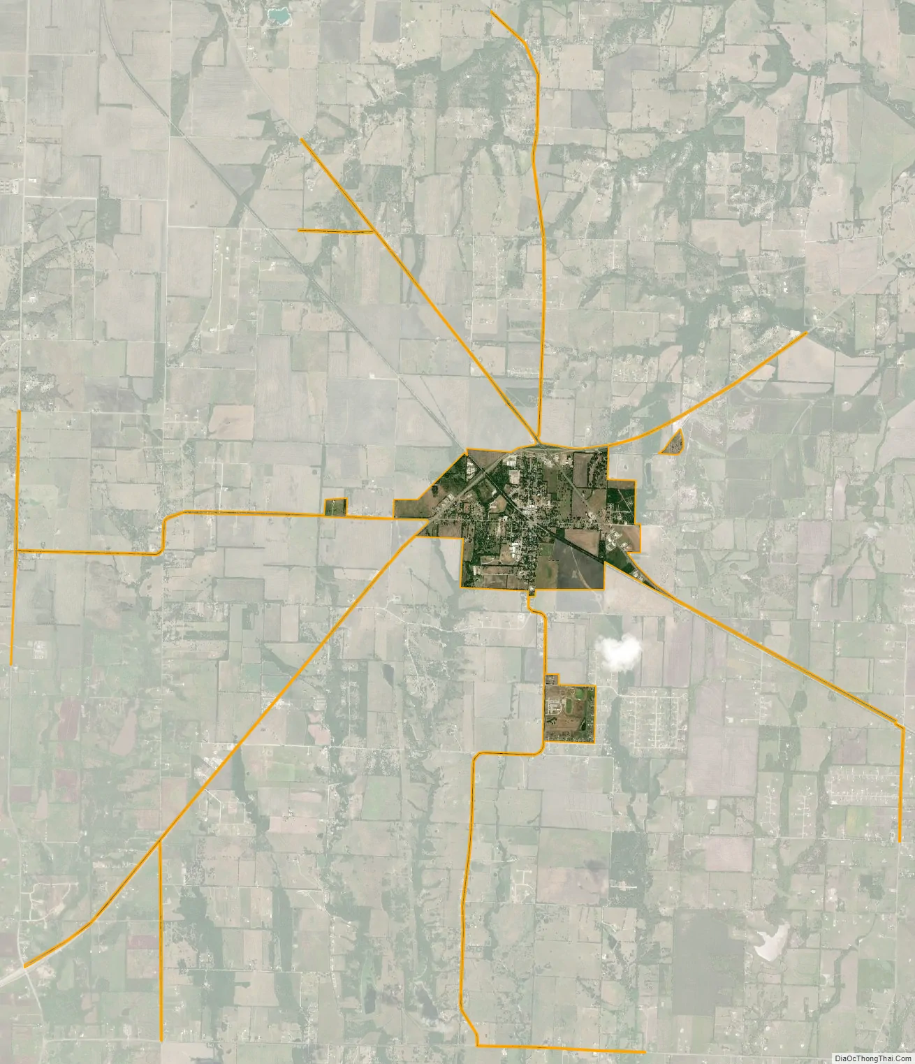
Trenton city Satellite Map
Geography
Trenton is located in southwestern Fannin County at 33°25′46″N 96°20′25″W / 33.42944°N 96.34028°W / 33.42944; -96.34028 (33.429566, –96.340143). U.S. Route 69 passes through the northeast part of the city, leading northwest 27 miles (43 km) to Denison and southeast 26 miles (42 km) to Greenville. Texas State Highway 121 passes through the northern part of Trenton, crossing US 69 at a diamond interchange. Highway 121 leads northeast 15 miles (24 km) to Bonham, the Fannin County seat, and southwest 17 miles (27 km) to Melissa. The center of Dallas is 57 miles (92 km) southwest of Trenton via Melissa and McKinney.
According to the United States Census Bureau, Trenton has a total area of 1.8 square miles (4.7 km), all of it land. A small portion of the city now extends west along FM 814 into Grayson County.
Climate
The climate in this area is characterized by hot, humid summers and generally mild to cool winters. According to the Köppen Climate Classification system, Trenton has a humid subtropical climate, abbreviated “Cfa” on climate maps.
See also
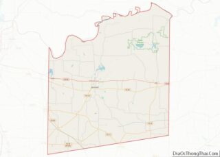
Map of Texas State and its subdivision:- Anderson
- Andrews
- Angelina
- Aransas
- Archer
- Armstrong
- Atascosa
- Austin
- Bailey
- Bandera
- Bastrop
- Baylor
- Bee
- Bell
- Bexar
- Blanco
- Borden
- Bosque
- Bowie
- Brazoria
- Brazos
- Brewster
- Briscoe
- Brooks
- Brown
- Burleson
- Burnet
- Caldwell
- Calhoun
- Callahan
- Cameron
- Camp
- Carson
- Cass
- Castro
- Chambers
- Cherokee
- Childress
- Clay
- Cochran
- Coke
- Coleman
- Collin
- Collingsworth
- Colorado
- Comal
- Comanche
- Concho
- Cooke
- Coryell
- Cottle
- Crane
- Crockett
- Crosby
- Culberson
- Dallam
- Dallas
- Dawson
- Deaf Smith
- Delta
- Denton
- Dewitt
- Dickens
- Dimmit
- Donley
- Duval
- Eastland
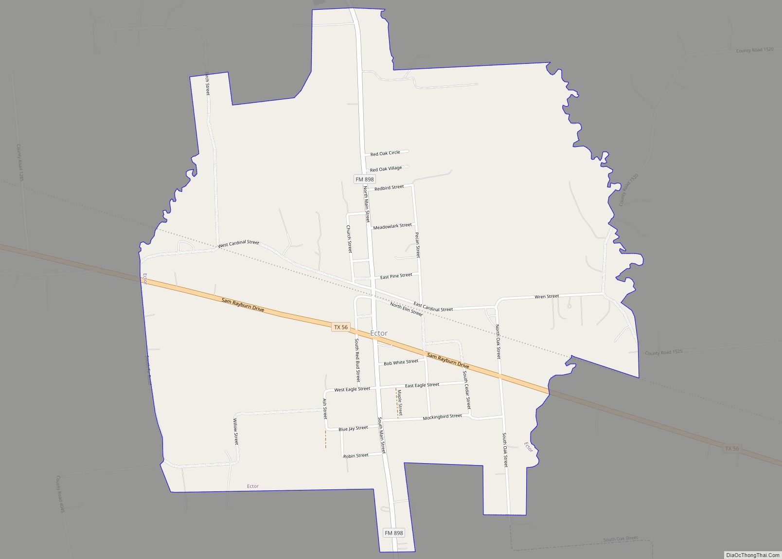
- Ector
- Edwards
- El Paso
- Ellis
- Erath
- Falls
- Fannin
- Fayette
- Fisher
- Floyd
- Foard
- Fort Bend
- Franklin
- Freestone
- Frio
- Gaines
- Galveston
- Garza
- Gillespie
- Glasscock
- Goliad
- Gonzales
- Gray
- Grayson
- Gregg
- Grimes
- Guadalupe
- Hale
- Hall
- Hamilton
- Hansford
- Hardeman
- Hardin
- Harris
- Harrison
- Hartley
- Haskell
- Hays
- Hemphill
- Henderson
- Hidalgo
- Hill
- Hockley
- Hood
- Hopkins
- Houston
- Howard
- Hudspeth
- Hunt
- Hutchinson
- Irion
- Jack
- Jackson
- Jasper
- Jeff Davis
- Jefferson
- Jim Hogg
- Jim Wells
- Johnson
- Jones
- Karnes
- Kaufman
- Kendall
- Kenedy
- Kent
- Kerr
- Kimble
- King
- Kinney
- Kleberg
- Knox
- La Salle
- Lamar
- Lamb
- Lampasas
- Lavaca
- Lee
- Leon
- Liberty
- Limestone
- Lipscomb
- Live Oak
- Llano
- Loving
- Lubbock
- Lynn
- Madison
- Marion
- Martin
- Mason
- Matagorda
- Maverick
- McCulloch
- McLennan
- McMullen
- Medina
- Menard
- Midland
- Milam
- Mills
- Mitchell
- Montague
- Montgomery
- Moore
- Morris
- Motley
- Nacogdoches
- Navarro
- Newton
- Nolan
- Nueces
- Ochiltree
- Oldham
- Orange
- Palo Pinto
- Panola
- Parker
- Parmer
- Pecos
- Polk
- Potter
- Presidio
- Rains
- Randall
- Reagan
- Real
- Red River
- Reeves
- Refugio
- Roberts
- Robertson
- Rockwall
- Runnels
- Rusk
- Sabine
- San Augustine
- San Jacinto
- San Patricio
- San Saba
- Schleicher
- Scurry
- Shackelford
- Shelby
- Sherman
- Smith
- Somervell
- Starr
- Stephens
- Sterling
- Stonewall
- Sutton
- Swisher
- Tarrant
- Taylor
- Terrell
- Terry
- Throckmorton
- Titus
- Tom Green
- Travis
- Trinity
- Tyler
- Upshur
- Upton
- Uvalde
- Val Verde
- Van Zandt
- Victoria
- Walker
- Waller
- Ward
- Washington
- Webb
- Wharton
- Wheeler
- Wichita
- Wilbarger
- Willacy
- Williamson
- Wilson
- Winkler
- Wise
- Wood
- Yoakum
- Young
- Zapata
- Zavala
- Alabama
- Alaska
- Arizona
- Arkansas
- California
- Colorado
- Connecticut
- Delaware
- District of Columbia
- Florida
- Georgia
- Hawaii
- Idaho
- Illinois
- Indiana
- Iowa
- Kansas
- Kentucky
- Louisiana
- Maine
- Maryland
- Massachusetts
- Michigan
- Minnesota
- Mississippi
- Missouri
- Montana
- Nebraska
- Nevada
- New Hampshire
- New Jersey
- New Mexico
- New York
- North Carolina
- North Dakota
- Ohio
- Oklahoma
- Oregon
- Pennsylvania
- Rhode Island
- South Carolina
- South Dakota
- Tennessee
- Texas
- Utah
- Vermont
- Virginia
- Washington
- West Virginia
- Wisconsin
- Wyoming