Watauga (/wɒˈtɔːɡə/) is a city in Tarrant County, Texas, United States, and a suburb of Fort Worth. The population was 23,497 at the 2010 census. The city’s businesses and retail markets are generally located on Highway 377.
| Name: | Watauga city |
|---|---|
| LSAD Code: | 25 |
| LSAD Description: | city (suffix) |
| State: | Texas |
| County: | Tarrant County |
| Elevation: | 607 ft (185 m) |
| Total Area: | 4.16 sq mi (10.77 km²) |
| Land Area: | 4.16 sq mi (10.77 km²) |
| Water Area: | 0.00 sq mi (0.00 km²) |
| Total Population: | 23,497 |
| Population Density: | 5,886.27/sq mi (2,272.64/km²) |
| ZIP code: | 76148, 76137 |
| Area code: | 817, 682 |
| FIPS code: | 4876672 |
| GNISfeature ID: | 1376659 |
| Website: | ci.Watauga.TX.us |
Online Interactive Map
Click on ![]() to view map in "full screen" mode.
to view map in "full screen" mode.
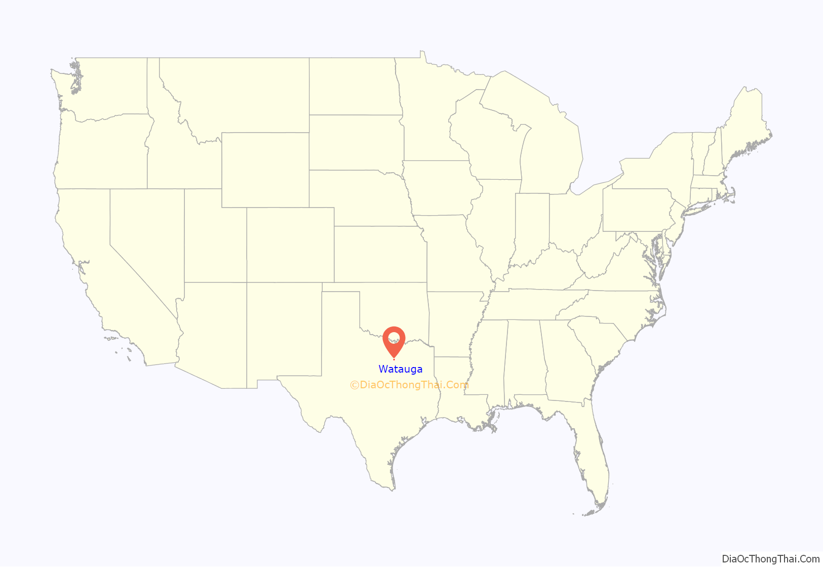
Watauga location map. Where is Watauga city?
History
The first settlers came to Tarrant County in 1843. The Texas and Pacific Railway came through present-day Watauga in 1881, which spurred a settlement of large farms and ranches. The settlement took its name from the pre-Revolutionary War Watauga Association settlement that was located in the northeastern section of East Tennessee, in areas surrounding the Sycamore Shoals of the Watauga River, near present-day Elizabethton, Tennessee.
Watauga received a railroad station and a post office in 1883. The population was 65 in the mid-1930s and 1940s, when the railroad station had closed. The population then grew due to defense plants to over 1000 in the 1960s. The population continued to grow to 7,050 in 1976, and 20,000 in 1990.
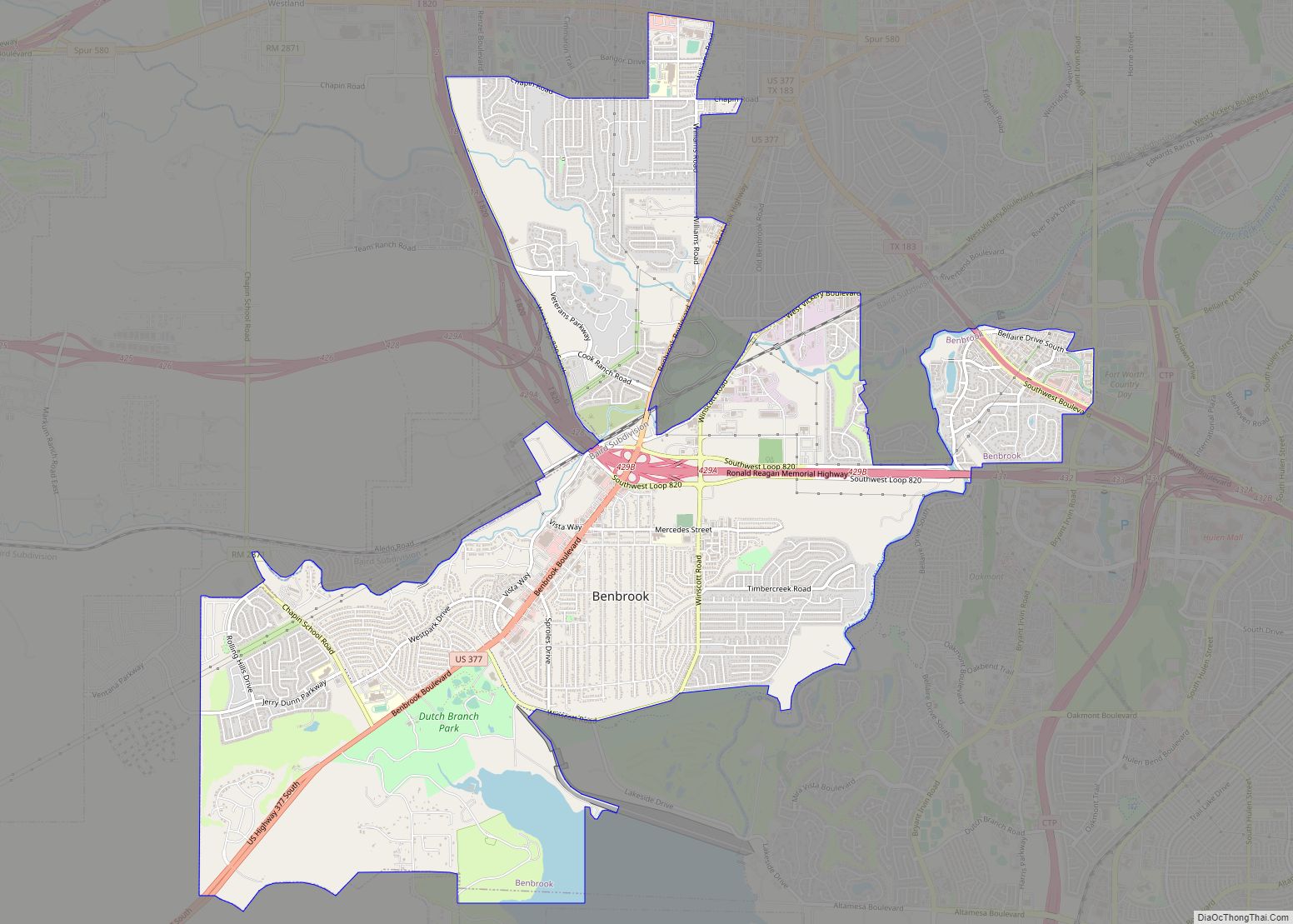
Watauga Road Map
Watauga city Satellite Map
Geography
Watauga is located at 32°52′17″N 97°14′57″W / 32.87139°N 97.24917°W / 32.87139; -97.24917 (32.871416, –97.249122). According to the United States Census Bureau, the city has a total area of 4.2 square miles (10.8 km), all of it land.
The city is entirely surrounded by the cities of Keller to the north, Fort Worth to the west, Haltom City to the southwest and North Richland Hills to the south and east. Almost all of the city’s land area is located east of US 377, though a portion extends west of that highway and includes homes and some city offices.
Places
Locations within city limits of Watauga include, Capp Smith Park, Watauga Pavilion and Watauga Public Library which is a sworn member of the Fort Worth-based METRO-PAC library catalog system. Other nearby attractions to Watauga and inside the Mid-Cities include North East Mall in Hurst (7–8 miles), Grapevine Lake and Grapevine Mills Mall (17 miles) in Grapevine, NRH20 in North Richland Hills (7 miles), and Southlake Town Square in Southlake (10 miles).
Transportation
No public transportation operates in Watauga, having not elected to join Trinity Metro but instead chosen to direct local sales tax option funds elsewhere.
- U.S. Route 377
See also
Map of Texas State and its subdivision:- Anderson
- Andrews
- Angelina
- Aransas
- Archer
- Armstrong
- Atascosa
- Austin
- Bailey
- Bandera
- Bastrop
- Baylor
- Bee
- Bell
- Bexar
- Blanco
- Borden
- Bosque
- Bowie
- Brazoria
- Brazos
- Brewster
- Briscoe
- Brooks
- Brown
- Burleson
- Burnet
- Caldwell
- Calhoun
- Callahan
- Cameron
- Camp
- Carson
- Cass
- Castro
- Chambers
- Cherokee
- Childress
- Clay
- Cochran
- Coke
- Coleman
- Collin
- Collingsworth
- Colorado
- Comal
- Comanche
- Concho
- Cooke
- Coryell
- Cottle
- Crane
- Crockett
- Crosby
- Culberson
- Dallam
- Dallas
- Dawson
- Deaf Smith
- Delta
- Denton
- Dewitt
- Dickens
- Dimmit
- Donley
- Duval
- Eastland
- Ector
- Edwards
- El Paso
- Ellis
- Erath
- Falls
- Fannin
- Fayette
- Fisher
- Floyd
- Foard
- Fort Bend
- Franklin
- Freestone
- Frio
- Gaines
- Galveston
- Garza
- Gillespie
- Glasscock
- Goliad
- Gonzales
- Gray
- Grayson
- Gregg
- Grimes
- Guadalupe
- Hale
- Hall
- Hamilton
- Hansford
- Hardeman
- Hardin
- Harris
- Harrison
- Hartley
- Haskell
- Hays
- Hemphill
- Henderson
- Hidalgo
- Hill
- Hockley
- Hood
- Hopkins
- Houston
- Howard
- Hudspeth
- Hunt
- Hutchinson
- Irion
- Jack
- Jackson
- Jasper
- Jeff Davis
- Jefferson
- Jim Hogg
- Jim Wells
- Johnson
- Jones
- Karnes
- Kaufman
- Kendall
- Kenedy
- Kent
- Kerr
- Kimble
- King
- Kinney
- Kleberg
- Knox
- La Salle
- Lamar
- Lamb
- Lampasas
- Lavaca
- Lee
- Leon
- Liberty
- Limestone
- Lipscomb
- Live Oak
- Llano
- Loving
- Lubbock
- Lynn
- Madison
- Marion
- Martin
- Mason
- Matagorda
- Maverick
- McCulloch
- McLennan
- McMullen
- Medina
- Menard
- Midland
- Milam
- Mills
- Mitchell
- Montague
- Montgomery
- Moore
- Morris
- Motley
- Nacogdoches
- Navarro
- Newton
- Nolan
- Nueces
- Ochiltree
- Oldham
- Orange
- Palo Pinto
- Panola
- Parker
- Parmer
- Pecos
- Polk
- Potter
- Presidio
- Rains
- Randall
- Reagan
- Real
- Red River
- Reeves
- Refugio
- Roberts
- Robertson
- Rockwall
- Runnels
- Rusk
- Sabine
- San Augustine
- San Jacinto
- San Patricio
- San Saba
- Schleicher
- Scurry
- Shackelford
- Shelby
- Sherman
- Smith
- Somervell
- Starr
- Stephens
- Sterling
- Stonewall
- Sutton
- Swisher
- Tarrant
- Taylor
- Terrell
- Terry
- Throckmorton
- Titus
- Tom Green
- Travis
- Trinity
- Tyler
- Upshur
- Upton
- Uvalde
- Val Verde
- Van Zandt
- Victoria
- Walker
- Waller
- Ward
- Washington
- Webb
- Wharton
- Wheeler
- Wichita
- Wilbarger
- Willacy
- Williamson
- Wilson
- Winkler
- Wise
- Wood
- Yoakum
- Young
- Zapata
- Zavala
- Alabama
- Alaska
- Arizona
- Arkansas
- California
- Colorado
- Connecticut
- Delaware
- District of Columbia
- Florida
- Georgia
- Hawaii
- Idaho
- Illinois
- Indiana
- Iowa
- Kansas
- Kentucky
- Louisiana
- Maine
- Maryland
- Massachusetts
- Michigan
- Minnesota
- Mississippi
- Missouri
- Montana
- Nebraska
- Nevada
- New Hampshire
- New Jersey
- New Mexico
- New York
- North Carolina
- North Dakota
- Ohio
- Oklahoma
- Oregon
- Pennsylvania
- Rhode Island
- South Carolina
- South Dakota
- Tennessee
- Texas
- Utah
- Vermont
- Virginia
- Washington
- West Virginia
- Wisconsin
- Wyoming
