Wellington is a city and county seat of Collingsworth County, Texas, United States. The population was 2,189 at the 2010 census.
| Name: | Wellington city |
|---|---|
| LSAD Code: | 25 |
| LSAD Description: | city (suffix) |
| State: | Texas |
| County: | Collingsworth County |
| Elevation: | 2,031 ft (619 m) |
| Total Area: | 1.38 sq mi (3.57 km²) |
| Land Area: | 1.38 sq mi (3.57 km²) |
| Water Area: | 0.00 sq mi (0.00 km²) |
| Total Population: | 2,189 |
| Population Density: | 1,499.64/sq mi (578.86/km²) |
| ZIP code: | 79095 |
| Area code: | 806 |
| FIPS code: | 4877152 |
| GNISfeature ID: | 1371030 |
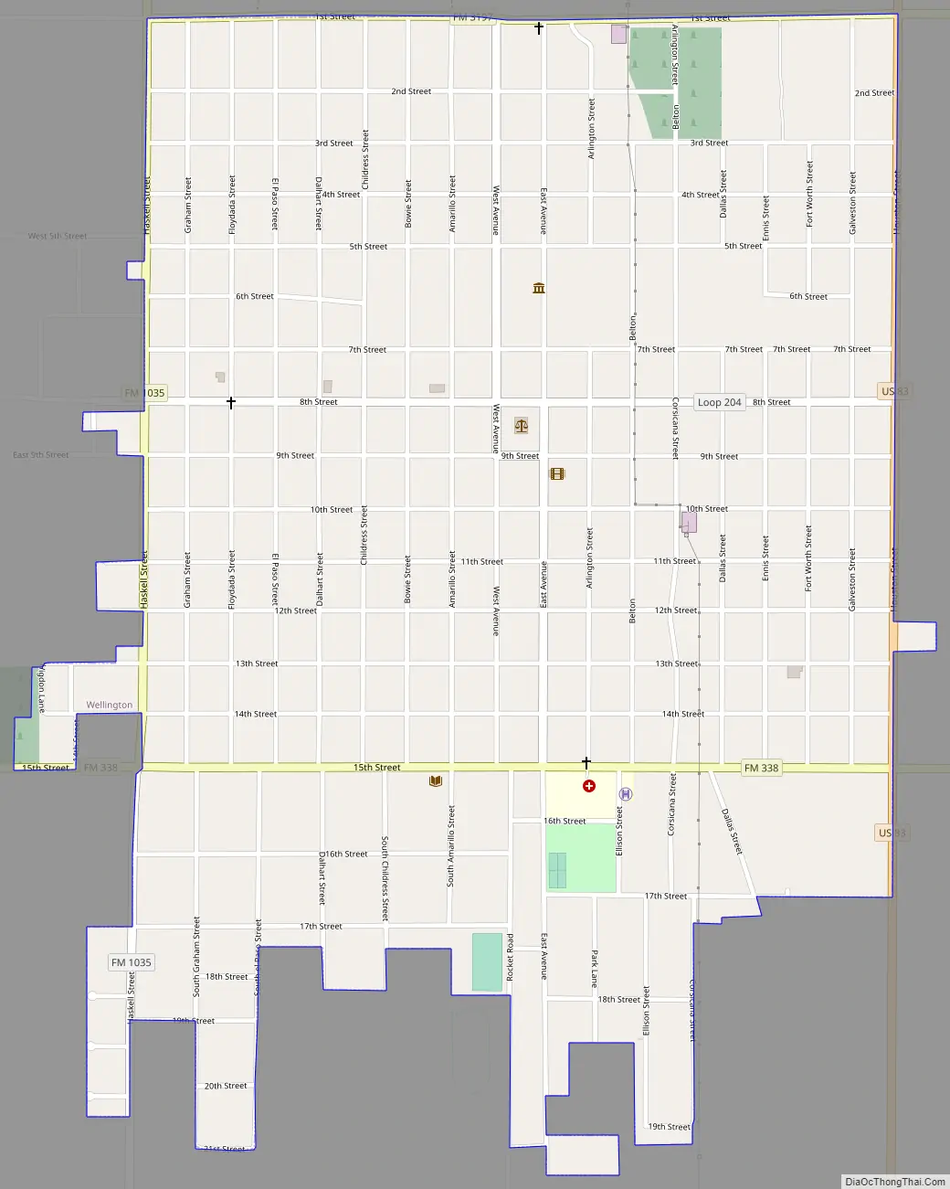
Online Interactive Map
Click on ![]() to view map in "full screen" mode.
to view map in "full screen" mode.
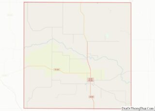
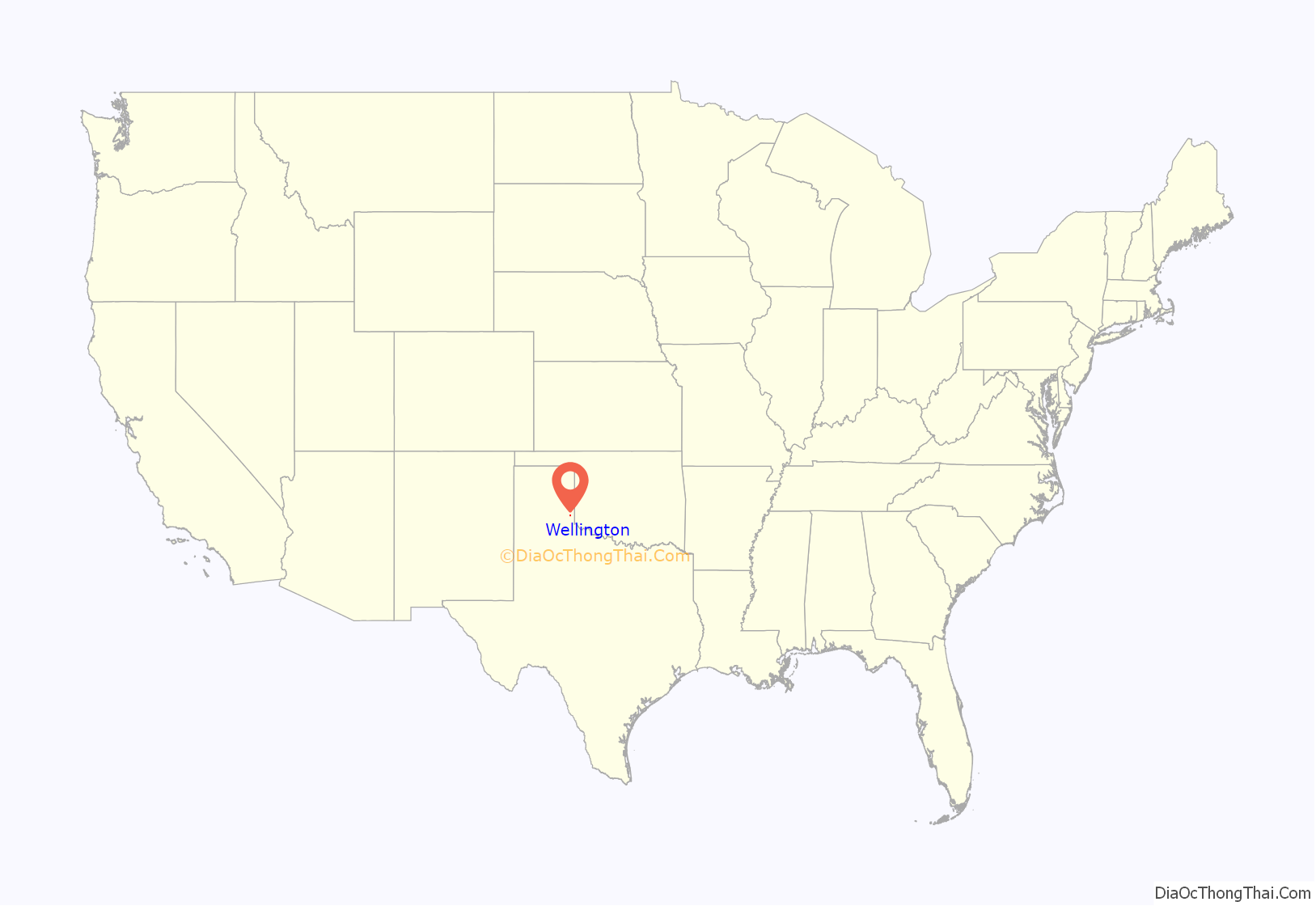
Wellington location map. Where is Wellington city?
History
Sometime in 1889 or 1890, as smaller ranches and farmlands were being purchased, Ernest Theodore O’Neil, his brother-in-law John Simon McConnell, and John W. Swearingen, together had purchased the land upon which the town currently sits, for $5.00 per acre. Subsequently, O’Neil, who originally owned a fourth of the section of the township, purchased the interests of McConnell and Swearingen, and retained sole ownership of the land. The 1890 census showed 357 inhabitants across the county, with 89 ranches and farms and 335 acres (1.36 km) of land in cultivation. In August 1890, a petition was circulated to organize the county, choose a county seat, and elect county officers. Two potential townships were proposed: Wellington and Pearl. The proposed town of Wellington was located on the land owned by Ernest T. O’Neil who was promoting this location, and had been given its proposed name by his wife, Matilda Anna Elisabeth “Lizzie” O’Neil, who greatly admired the Duke of Wellington, hero of the Battle of Waterloo. The alternate and proposed town of Pearl was located several miles north of Wellington.
In September 1890, the vote was held and Wellington was selected for the seat of the newly organized county of Collingsworth. In 1891 the new city, laid out by Ernest T. O’Neil, was surveyed and platted, and the first postal service and postmaster, Carrie M. Barton, was established on January 9, 1891. Construction of a courthouse began in 1893, and the contractor, J. A. White, built the courthouse of locally made bricks. With the extra materials left over from the courthouse, J. A. White erected a mercantile store for Ernest T. O’Neil. This became the first mercantile store and commercial building in Wellington, prior to the opening of a two-story hotel by O’Neil. Later O’Neil organized the first bank, was active in all phases of the county’s growth and development, and served as postmaster from August 22, 1895 to December 11, 1897.
Early in the early 20th century, Wellington was connected through Altus, Oklahoma with Wichita Falls, Texas through the Wichita Falls and Wellington Railway, one of the properties of the industrialist Joseph A. Kemp of Wichita Falls. In 1914, this route was leased by the since-defunct Missouri–Kansas–Texas Railroad. The Wellington-to-Altus segment was abandoned in 1958.
The first time Bonnie and Clyde (Bonnie Park and Clyde Barrow) made The New York Times newspaper was their incident at the Prichard farm. Bonnie is referenced as a “woman companion”, and the perpetrators are Clyde Barrow and his brother whose name is given as Icy. With the location as “Wellington, Texas”, the story tells of their wrecking their car, terrorizing a family and shooting the daughter-in-law (but actually their daughter), kidnapping two law enforcement officers and taking them in their car near Erick, Oklahoma, where the two kidnapped men were tied to a tree with barbed wire cut from a fence. They freed themselves and alerted local law enforcement, but the trail had gone cold.
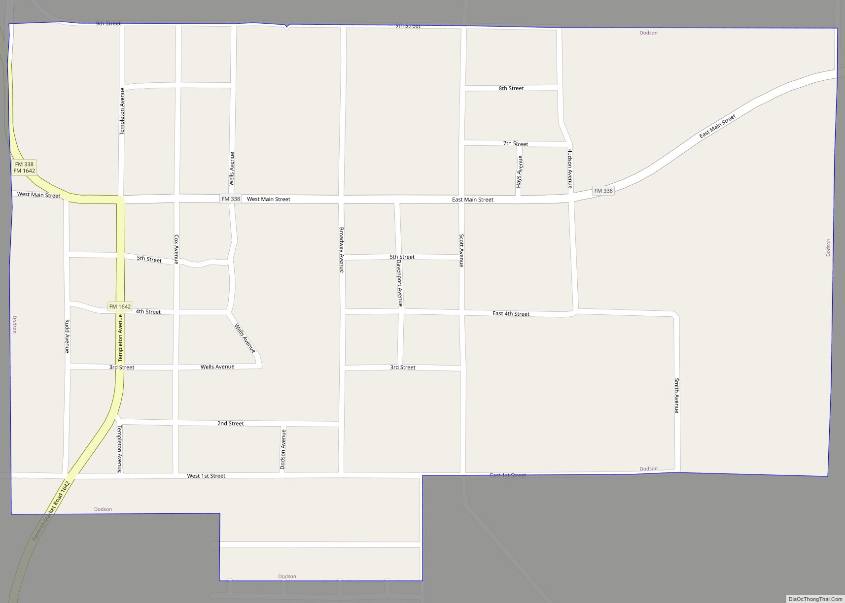
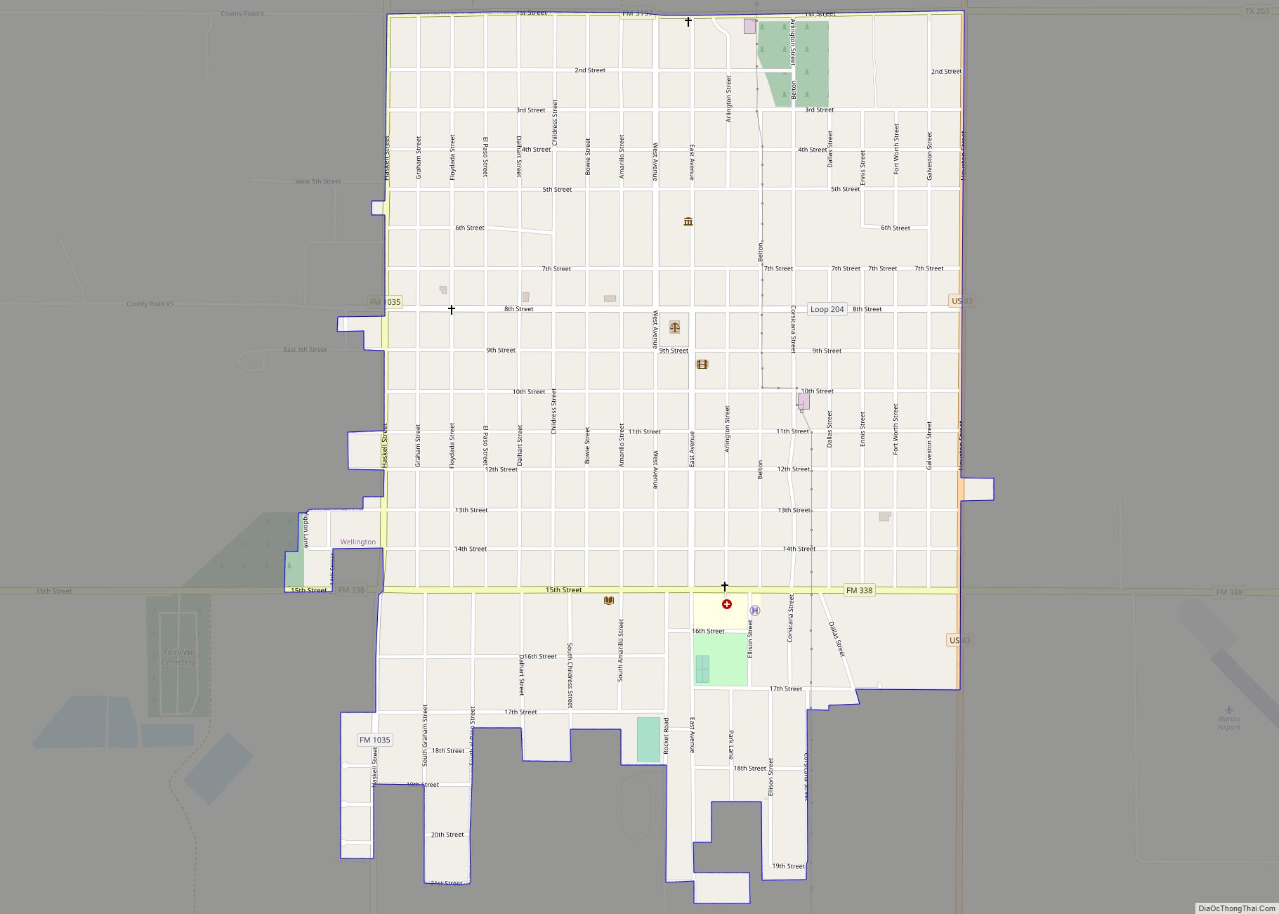
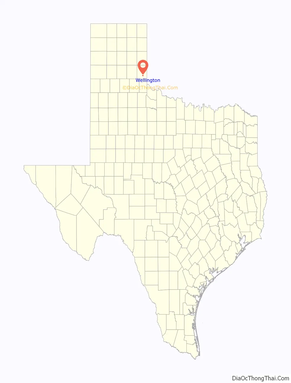
Wellington Road Map
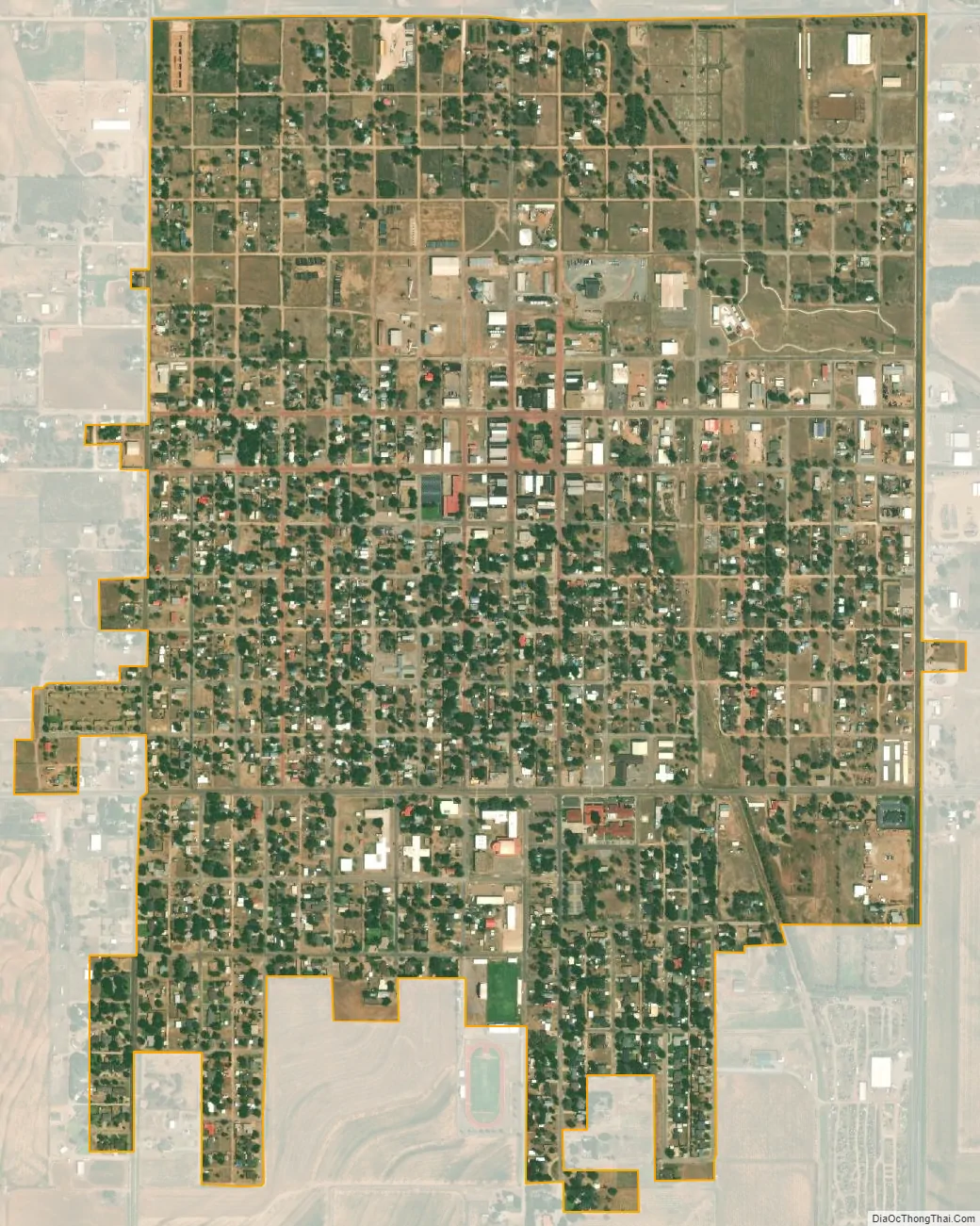
Wellington city Satellite Map
Geography
Wellington is located in southern Collingsworth County at 34°51′17″N 100°12′49″W / 34.85472°N 100.21361°W / 34.85472; -100.21361 (34.854616, –100.213626). U.S. Route 83 runs along the eastern edge of the city, leading north 26 miles (42 km) to Shamrock and Interstate 40, and south 31 miles (50 km) to Childress. Texas State Highway 203 leads east 13 miles (21 km) to the Oklahoma border and west 14 miles (23 km) to Quail.
According to the United States Census Bureau, Wellington has a total area of 1.4 square miles (3.5 km), all of it land.
See also
Map of Texas State and its subdivision:- Anderson
- Andrews
- Angelina
- Aransas
- Archer
- Armstrong
- Atascosa
- Austin
- Bailey
- Bandera
- Bastrop
- Baylor
- Bee
- Bell
- Bexar
- Blanco
- Borden
- Bosque
- Bowie
- Brazoria
- Brazos
- Brewster
- Briscoe
- Brooks
- Brown
- Burleson
- Burnet
- Caldwell
- Calhoun
- Callahan
- Cameron
- Camp
- Carson
- Cass
- Castro
- Chambers
- Cherokee
- Childress
- Clay
- Cochran
- Coke
- Coleman
- Collin
- Collingsworth
- Colorado
- Comal
- Comanche
- Concho
- Cooke
- Coryell
- Cottle
- Crane
- Crockett
- Crosby
- Culberson
- Dallam
- Dallas
- Dawson
- Deaf Smith
- Delta
- Denton
- Dewitt
- Dickens
- Dimmit
- Donley
- Duval
- Eastland
- Ector
- Edwards
- El Paso
- Ellis
- Erath
- Falls
- Fannin
- Fayette
- Fisher
- Floyd
- Foard
- Fort Bend
- Franklin
- Freestone
- Frio
- Gaines
- Galveston
- Garza
- Gillespie
- Glasscock
- Goliad
- Gonzales
- Gray
- Grayson
- Gregg
- Grimes
- Guadalupe
- Hale
- Hall
- Hamilton
- Hansford
- Hardeman
- Hardin
- Harris
- Harrison
- Hartley
- Haskell
- Hays
- Hemphill
- Henderson
- Hidalgo
- Hill
- Hockley
- Hood
- Hopkins
- Houston
- Howard
- Hudspeth
- Hunt
- Hutchinson
- Irion
- Jack
- Jackson
- Jasper
- Jeff Davis
- Jefferson
- Jim Hogg
- Jim Wells
- Johnson
- Jones
- Karnes
- Kaufman
- Kendall
- Kenedy
- Kent
- Kerr
- Kimble
- King
- Kinney
- Kleberg
- Knox
- La Salle
- Lamar
- Lamb
- Lampasas
- Lavaca
- Lee
- Leon
- Liberty
- Limestone
- Lipscomb
- Live Oak
- Llano
- Loving
- Lubbock
- Lynn
- Madison
- Marion
- Martin
- Mason
- Matagorda
- Maverick
- McCulloch
- McLennan
- McMullen
- Medina
- Menard
- Midland
- Milam
- Mills
- Mitchell
- Montague
- Montgomery
- Moore
- Morris
- Motley
- Nacogdoches
- Navarro
- Newton
- Nolan
- Nueces
- Ochiltree
- Oldham
- Orange
- Palo Pinto
- Panola
- Parker
- Parmer
- Pecos
- Polk
- Potter
- Presidio
- Rains
- Randall
- Reagan
- Real
- Red River
- Reeves
- Refugio
- Roberts
- Robertson
- Rockwall
- Runnels
- Rusk
- Sabine
- San Augustine
- San Jacinto
- San Patricio
- San Saba
- Schleicher
- Scurry
- Shackelford
- Shelby
- Sherman
- Smith
- Somervell
- Starr
- Stephens
- Sterling
- Stonewall
- Sutton
- Swisher
- Tarrant
- Taylor
- Terrell
- Terry
- Throckmorton
- Titus
- Tom Green
- Travis
- Trinity
- Tyler
- Upshur
- Upton
- Uvalde
- Val Verde
- Van Zandt
- Victoria
- Walker
- Waller
- Ward
- Washington
- Webb
- Wharton
- Wheeler
- Wichita
- Wilbarger
- Willacy
- Williamson
- Wilson
- Winkler
- Wise
- Wood
- Yoakum
- Young
- Zapata
- Zavala
- Alabama
- Alaska
- Arizona
- Arkansas
- California
- Colorado
- Connecticut
- Delaware
- District of Columbia
- Florida
- Georgia
- Hawaii
- Idaho
- Illinois
- Indiana
- Iowa
- Kansas
- Kentucky
- Louisiana
- Maine
- Maryland
- Massachusetts
- Michigan
- Minnesota
- Mississippi
- Missouri
- Montana
- Nebraska
- Nevada
- New Hampshire
- New Jersey
- New Mexico
- New York
- North Carolina
- North Dakota
- Ohio
- Oklahoma
- Oregon
- Pennsylvania
- Rhode Island
- South Carolina
- South Dakota
- Tennessee
- Texas
- Utah
- Vermont
- Virginia
- Washington
- West Virginia
- Wisconsin
- Wyoming