Whitesboro is a city in Grayson County, Texas, United States. The population was 3,793 at the 2010 census. Whitesboro is named for its founder, Ambrose B. White.
It is part of the Sherman-Denison metropolitan area.
| Name: | Whitesboro city |
|---|---|
| LSAD Code: | 25 |
| LSAD Description: | city (suffix) |
| State: | Texas |
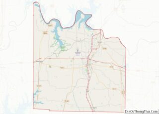
| County: | Grayson County |
| Elevation: | 820 ft (250 m) |
| Total Area: | 3.34 sq mi (8.66 km²) |
| Land Area: | 3.34 sq mi (8.64 km²) |
| Water Area: | 0.01 sq mi (0.02 km²) |
| Total Population: | 3,793 |
| Population Density: | 1,234.27/sq mi (476.62/km²) |
| ZIP code: | 76273 |
| Area code: | 903 |
| FIPS code: | 4878532 |
| GNISfeature ID: | 1371458 |
| Website: | www.whitesborotexas.com |
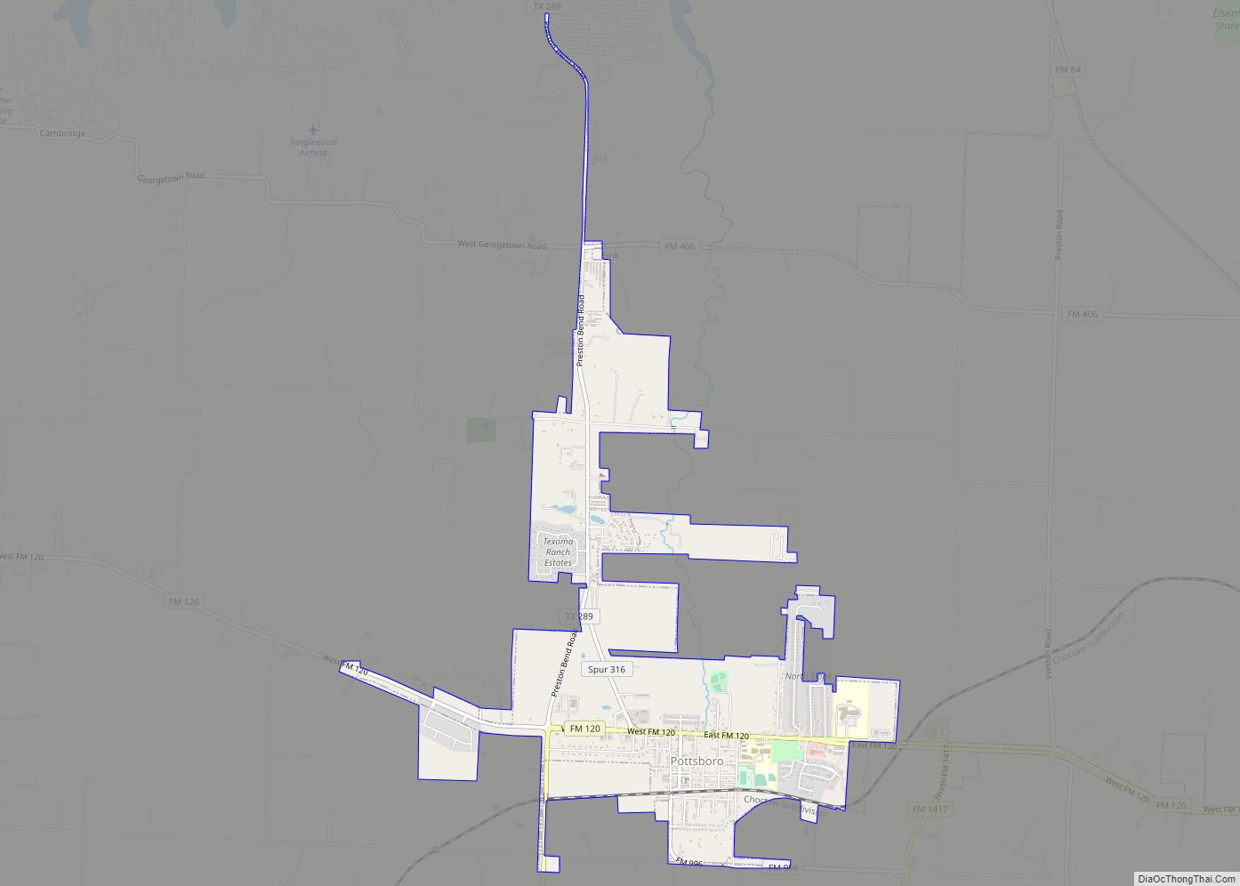
Online Interactive Map
Click on ![]() to view map in "full screen" mode.
to view map in "full screen" mode.
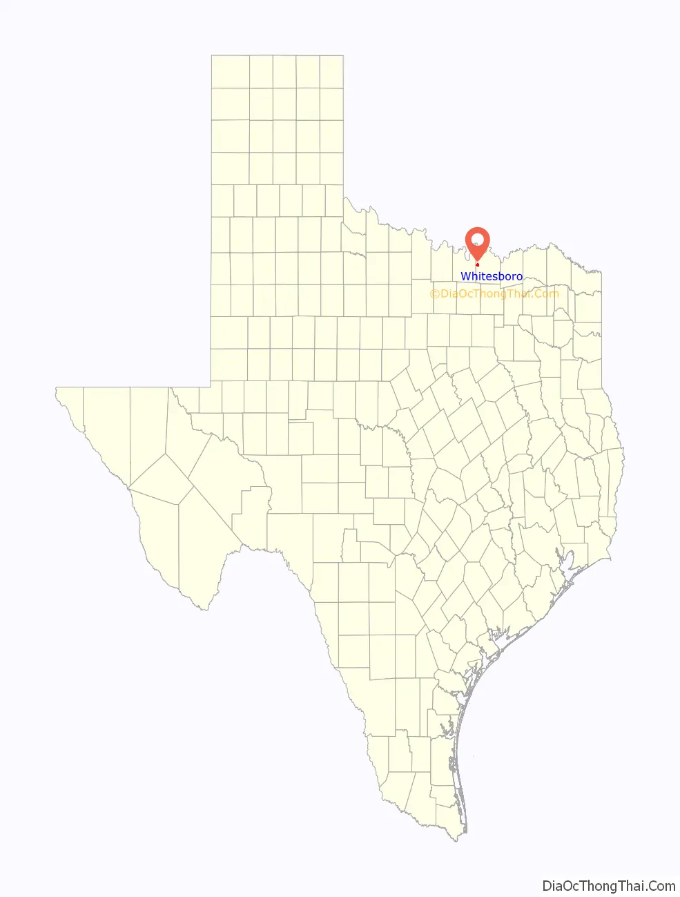
Whitesboro location map. Where is Whitesboro city?

History
The area was once known as “Wolfpath”. The first settler in the area was Robert Diamond, but the settlement of Wolfpath began with the arrival of Ambrose B. White and his family in 1848. The Butterfield Overland Mail route used White’s Westview Inn as the “Diamond Station” on its trail from the Mississippi River to the Pacific Coast from 1858 to 1861. A post office, under the name “Whitesborough”, began operations there in 1860.
After the Civil War, Whitesborough grew into a frontier town where female residents were prohibited from leaving their homes on Saturday nights because shootings were so common. Whitesborough had a population of 500, saloons, several stores, and other businesses when it was incorporated on June 2, 1873. By 1879, it had a bank, a newspaper, and train service from Denison on a line from the Missouri, Kansas and Texas Railroad. In 1887, it altered the spelling of its name to “Whitesboro”.
In 1903, racial tensions were high in Whitesboro after an “Anti-White Man’s Club” left a note threatening to poison local wells and “foully treat” and murder “some white girl”. Later that year, a black male was held by police for identification following an alleged attempted rape of a white Whitesboro woman. A large mob broke into the man’s cell and attempted to hang him from a tree; he was rescued by police. The mob then fired guns toward homes occupied by blacks, and ordered them to leave town, resulting in the large exodus of a once majority black town.
It was suspected that threats made from the “Anti-White man’s club” were fabricated notes from white residents of Whitesboro created in order to create fake hysteria and further racial tensions.
Whitesboro is believed to have once been a sundown town, meaning only white people were allowed in after dark, and black people found after dark were murdered.
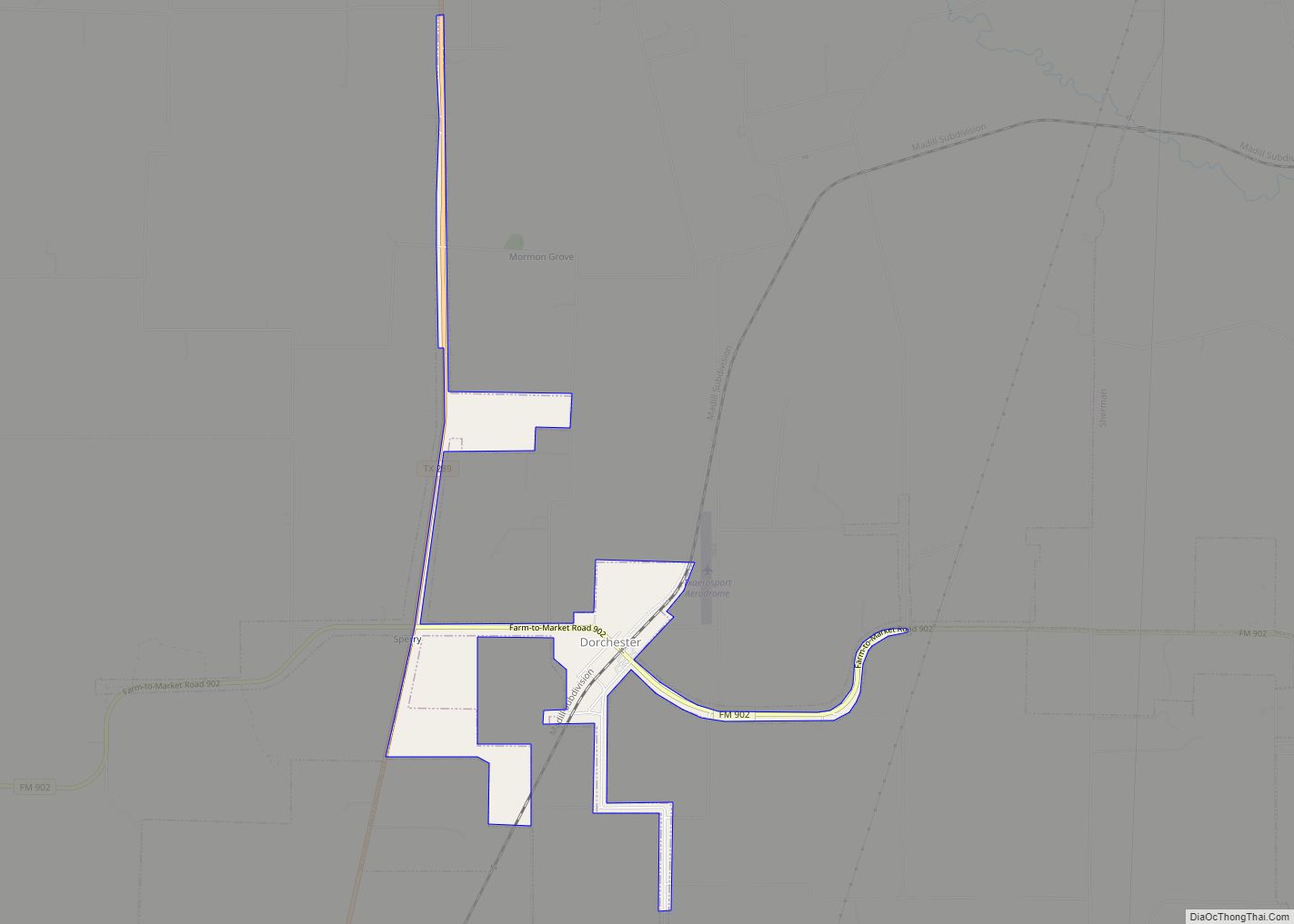
Whitesboro Road Map
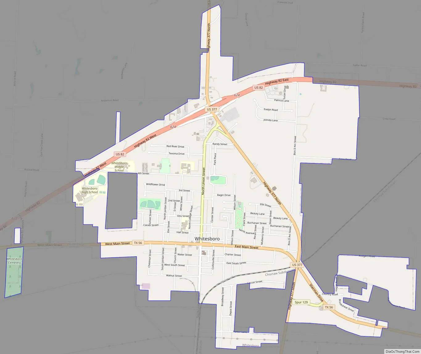
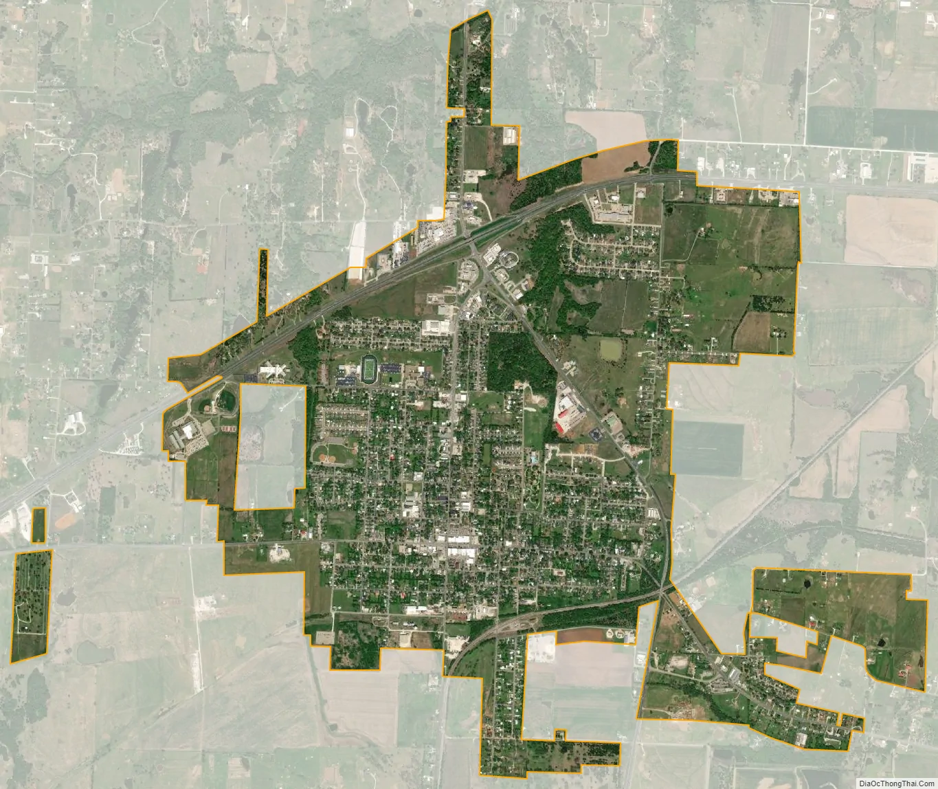
Whitesboro city Satellite Map
Geography
Whitesboro is located in western Grayson County. U.S. Route 82 passes through the north side of the city, and U.S. Route 377 passes through the east side. US 82 leads east 17 miles (27 km) to Sherman, the county seat, and west 13 miles (21 km) to Gainesville, while US 377 leads north 15 miles (24 km) to the Oklahoma border on the Red River and south 41 miles (66 km) to Denton.
According to the United States Census Bureau, Whitesboro has a total area of 3.3 square miles (8.6 km), of which 0.006 square miles (0.015 km), or 0.18%, are water.
See also
Map of Texas State and its subdivision:- Anderson
- Andrews
- Angelina
- Aransas
- Archer
- Armstrong
- Atascosa
- Austin
- Bailey
- Bandera
- Bastrop
- Baylor
- Bee
- Bell
- Bexar
- Blanco
- Borden
- Bosque
- Bowie
- Brazoria
- Brazos
- Brewster
- Briscoe
- Brooks
- Brown
- Burleson
- Burnet
- Caldwell
- Calhoun
- Callahan
- Cameron
- Camp
- Carson
- Cass
- Castro
- Chambers
- Cherokee
- Childress
- Clay
- Cochran
- Coke
- Coleman
- Collin
- Collingsworth
- Colorado
- Comal
- Comanche
- Concho
- Cooke
- Coryell
- Cottle
- Crane
- Crockett
- Crosby
- Culberson
- Dallam
- Dallas
- Dawson
- Deaf Smith
- Delta
- Denton
- Dewitt
- Dickens
- Dimmit
- Donley
- Duval
- Eastland
- Ector
- Edwards
- El Paso
- Ellis
- Erath
- Falls
- Fannin
- Fayette
- Fisher
- Floyd
- Foard
- Fort Bend
- Franklin
- Freestone
- Frio
- Gaines
- Galveston
- Garza
- Gillespie
- Glasscock
- Goliad
- Gonzales
- Gray
- Grayson
- Gregg
- Grimes
- Guadalupe
- Hale
- Hall
- Hamilton
- Hansford
- Hardeman
- Hardin
- Harris
- Harrison
- Hartley
- Haskell
- Hays
- Hemphill
- Henderson
- Hidalgo
- Hill
- Hockley
- Hood
- Hopkins
- Houston
- Howard
- Hudspeth
- Hunt
- Hutchinson
- Irion
- Jack
- Jackson
- Jasper
- Jeff Davis
- Jefferson
- Jim Hogg
- Jim Wells
- Johnson
- Jones
- Karnes
- Kaufman
- Kendall
- Kenedy
- Kent
- Kerr
- Kimble
- King
- Kinney
- Kleberg
- Knox
- La Salle
- Lamar
- Lamb
- Lampasas
- Lavaca
- Lee
- Leon
- Liberty
- Limestone
- Lipscomb
- Live Oak
- Llano
- Loving
- Lubbock
- Lynn
- Madison
- Marion
- Martin
- Mason
- Matagorda
- Maverick
- McCulloch
- McLennan
- McMullen
- Medina
- Menard
- Midland
- Milam
- Mills
- Mitchell
- Montague
- Montgomery
- Moore
- Morris
- Motley
- Nacogdoches
- Navarro
- Newton
- Nolan
- Nueces
- Ochiltree
- Oldham
- Orange
- Palo Pinto
- Panola
- Parker
- Parmer
- Pecos
- Polk
- Potter
- Presidio
- Rains
- Randall
- Reagan
- Real
- Red River
- Reeves
- Refugio
- Roberts
- Robertson
- Rockwall
- Runnels
- Rusk
- Sabine
- San Augustine
- San Jacinto
- San Patricio
- San Saba
- Schleicher
- Scurry
- Shackelford
- Shelby
- Sherman
- Smith
- Somervell
- Starr
- Stephens
- Sterling
- Stonewall
- Sutton
- Swisher
- Tarrant
- Taylor
- Terrell
- Terry
- Throckmorton
- Titus
- Tom Green
- Travis
- Trinity
- Tyler
- Upshur
- Upton
- Uvalde
- Val Verde
- Van Zandt
- Victoria
- Walker
- Waller
- Ward
- Washington
- Webb
- Wharton
- Wheeler
- Wichita
- Wilbarger
- Willacy
- Williamson
- Wilson
- Winkler
- Wise
- Wood
- Yoakum
- Young
- Zapata
- Zavala
- Alabama
- Alaska
- Arizona
- Arkansas
- California
- Colorado
- Connecticut
- Delaware
- District of Columbia
- Florida
- Georgia
- Hawaii
- Idaho
- Illinois
- Indiana
- Iowa
- Kansas
- Kentucky
- Louisiana
- Maine
- Maryland
- Massachusetts
- Michigan
- Minnesota
- Mississippi
- Missouri
- Montana
- Nebraska
- Nevada
- New Hampshire
- New Jersey
- New Mexico
- New York
- North Carolina
- North Dakota
- Ohio
- Oklahoma
- Oregon
- Pennsylvania
- Rhode Island
- South Carolina
- South Dakota
- Tennessee
- Texas
- Utah
- Vermont
- Virginia
- Washington
- West Virginia
- Wisconsin
- Wyoming