Harker Heights is a city in Bell County, Texas, United States. As of the 2020 census, 33,097 people resided in the city, up from a population of 17,308 in 2000. This makes Harker Heights the third-largest city in Bell County, after Killeen and Temple. Incorporated in 1960, the city derives its name from one of the two original landowners and founder, Harley Kern. Harker Heights is part of the Killeen–Temple–Fort Hood metropolitan area. People usually refer to the town as just “Heights”.
| Name: | Harker Heights city |
|---|---|
| LSAD Code: | 25 |
| LSAD Description: | city (suffix) |
| State: | Texas |
| County: | Bell County |
| Elevation: | 764 ft (233 m) |
| Total Area: | 15.66 sq mi (40.55 km²) |
| Land Area: | 15.61 sq mi (40.43 km²) |
| Water Area: | 0.05 sq mi (0.12 km²) |
| Total Population: | 33,097 |
| Population Density: | 2,077.07/sq mi (801.95/km²) |
| ZIP code: | 76542, 76543, 76548 |
| Area code: | 254 |
| FIPS code: | 4832312 |
| GNISfeature ID: | 1388539 |
| Website: | ci.Harker-Heights.TX.us |
Online Interactive Map
Click on ![]() to view map in "full screen" mode.
to view map in "full screen" mode.
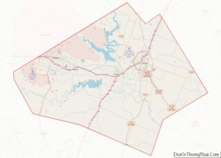
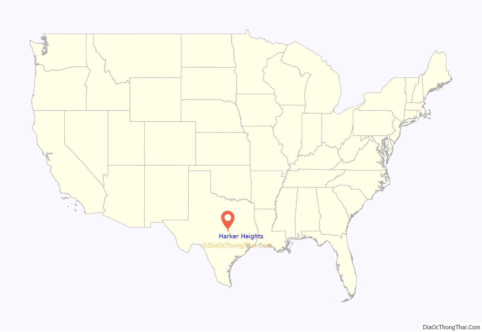
Harker Heights location map. Where is Harker Heights city?
History
Harker Heights is located near Fort Cavazos, a major United States Army post that was designated a permanent military facility in 1950. As the post expanded, the surrounding civilian population increased. Water Control and Improvement District No. 4 was established on land near the Killeen city limits and the military post in 1955, and included the land owned by Pinckney R. Cox and Harley Kern, two hog farmers. These two men subdivided their land in 1957 and began selling lots. By 1960, between 600 and 700 of the lots had been developed and new residents supplied with water and other utility services. Following a petition for an incorporation election, the city was established on September 24, 1960, and Cox was elected mayor. Kern had died before the incorporation, and the Harker in Harker Heights was a concatenation of Harley Kern’s name as a tribute to one of the original landowners. The town’s boundaries expanded to include Forest Hills, Highland Oaks, and Comanche Hills. Cox, Sam Garth Jr., and Barney Sissom created GIASISCO Corporation, which was meant to help expand the town from 400 to 950 acres (160 to 380 ha).
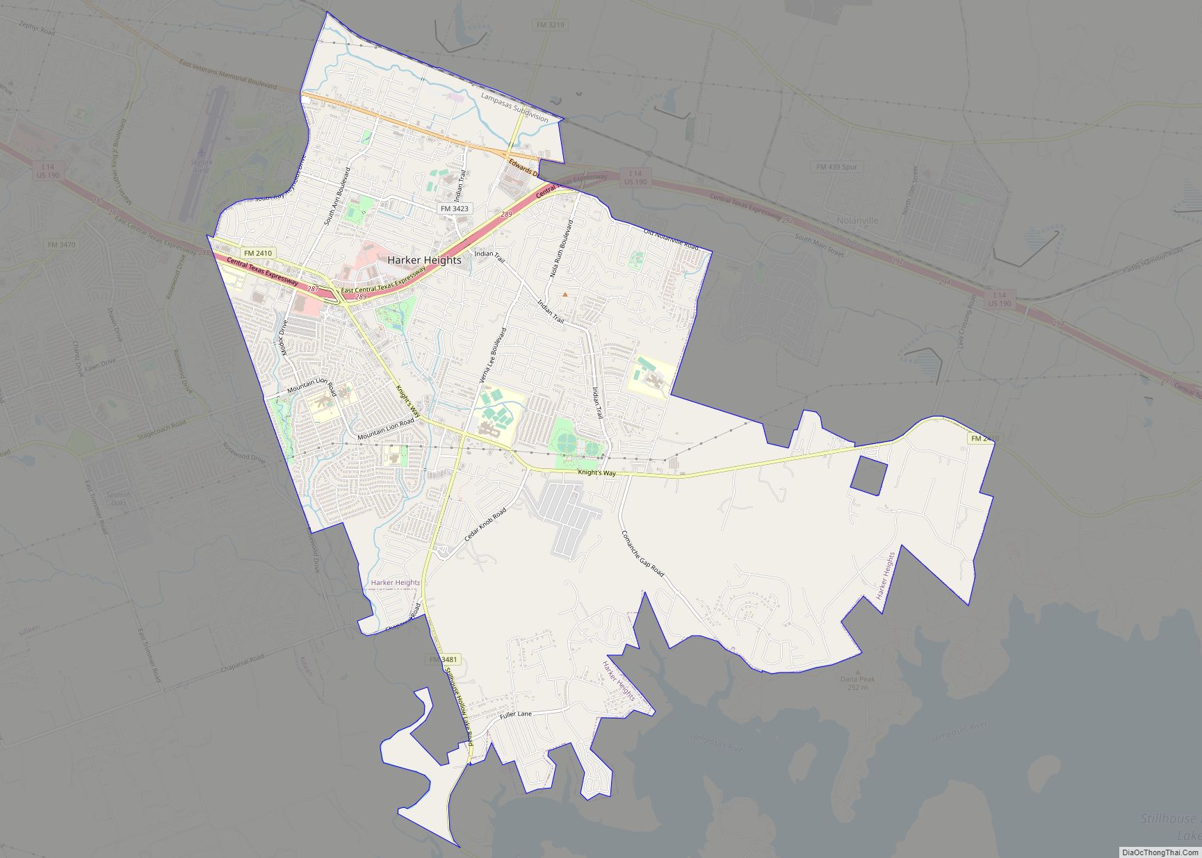
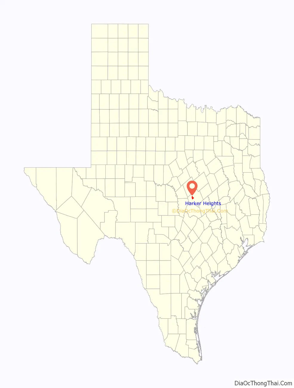
Harker Heights Road Map
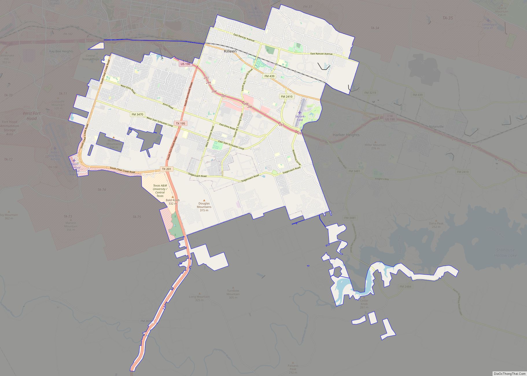
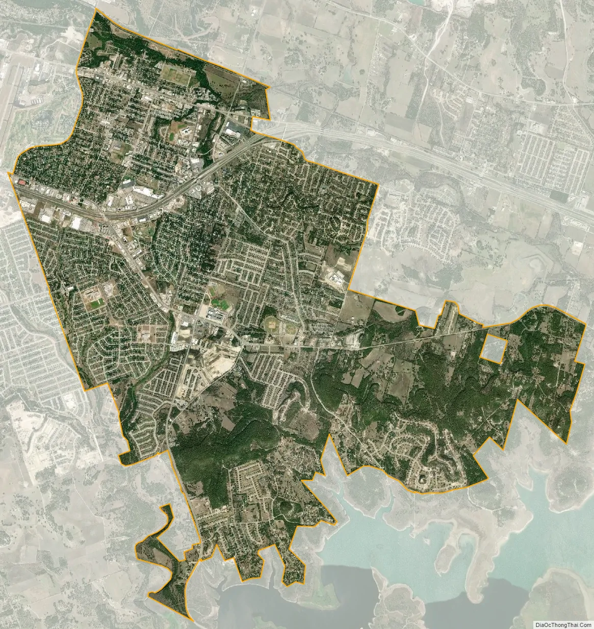
Harker Heights city Satellite Map
Geography
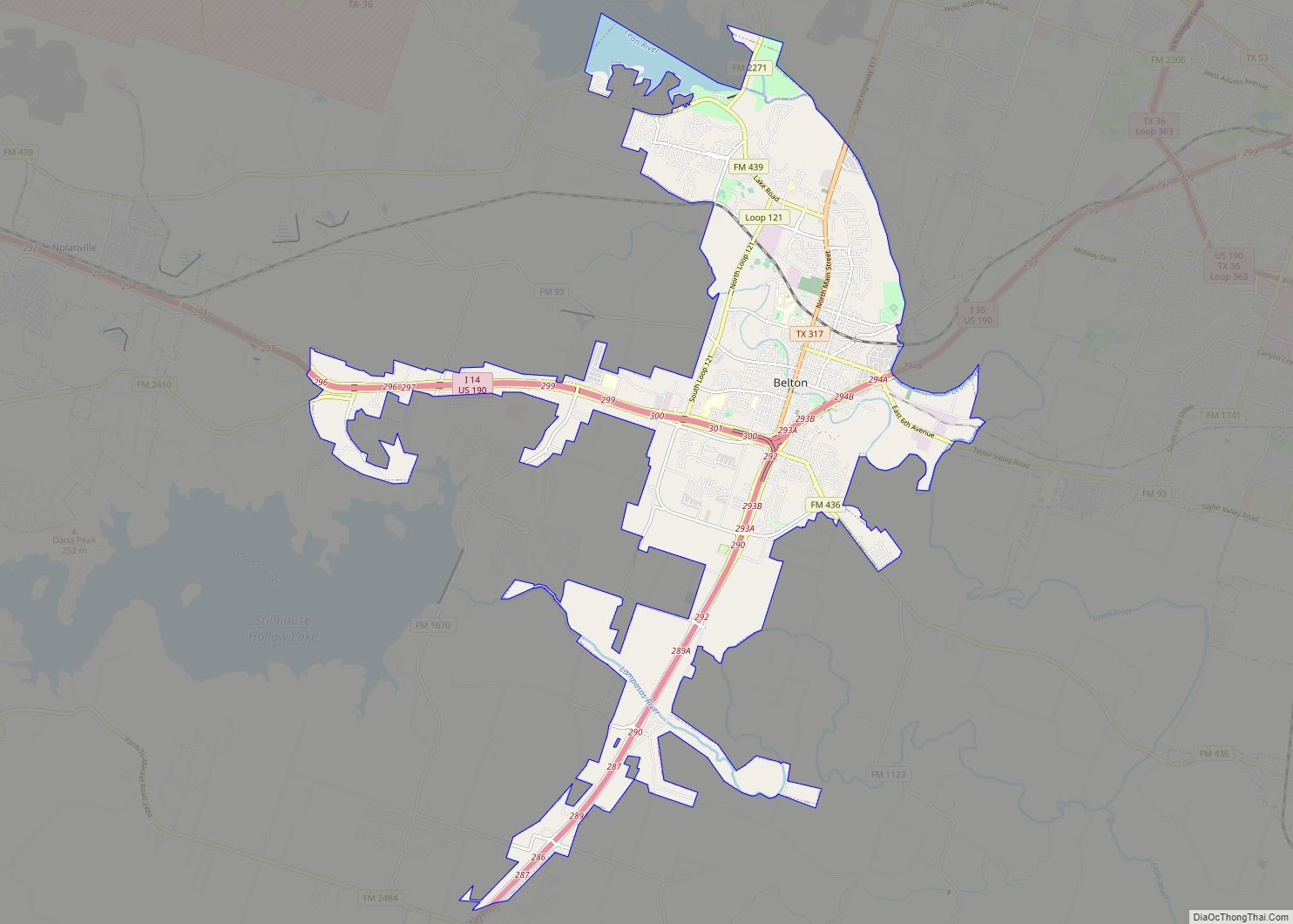
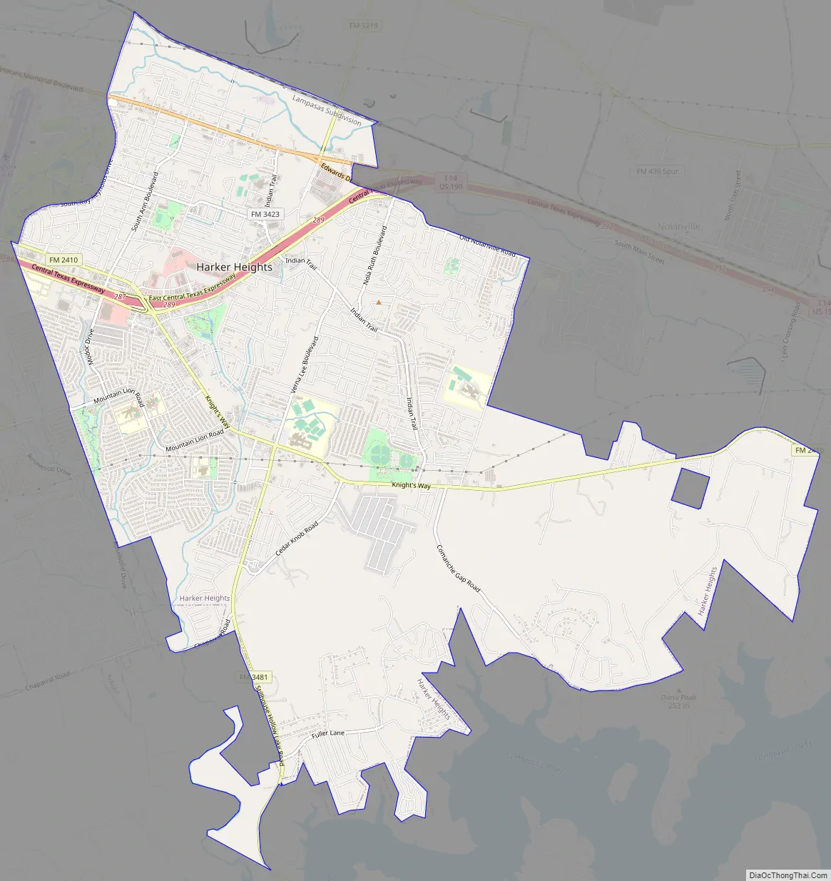
Harker Heights is bordered by the city of Killeen to the west and Nolanville to the east. The city limits extend south to hills overlooking Stillhouse Hollow Lake on the Lampasas River.
Interstate 14/U.S. Highway 190 is a four-lane freeway that passes through the city, connecting Killeen to the west with Interstate 35 in Belton 12 miles (19 km) to the east, at a point about halfway between Waco and Austin.
According to the United States Census Bureau, Harker Heights has a total area of 15.2 square miles (39.4 km), of which 0.04 square miles (0.1 km), or 0.32%, is covered by water.
See also
Map of Texas State and its subdivision:- Anderson
- Andrews
- Angelina
- Aransas
- Archer
- Armstrong
- Atascosa
- Austin
- Bailey
- Bandera
- Bastrop
- Baylor
- Bee
- Bell
- Bexar
- Blanco
- Borden
- Bosque
- Bowie
- Brazoria
- Brazos
- Brewster
- Briscoe
- Brooks
- Brown
- Burleson
- Burnet
- Caldwell
- Calhoun
- Callahan
- Cameron
- Camp
- Carson
- Cass
- Castro
- Chambers
- Cherokee
- Childress
- Clay
- Cochran
- Coke
- Coleman
- Collin
- Collingsworth
- Colorado
- Comal
- Comanche
- Concho
- Cooke
- Coryell
- Cottle
- Crane
- Crockett
- Crosby
- Culberson
- Dallam
- Dallas
- Dawson
- Deaf Smith
- Delta
- Denton
- Dewitt
- Dickens
- Dimmit
- Donley
- Duval
- Eastland
- Ector
- Edwards
- El Paso
- Ellis
- Erath
- Falls
- Fannin
- Fayette
- Fisher
- Floyd
- Foard
- Fort Bend
- Franklin
- Freestone
- Frio
- Gaines
- Galveston
- Garza
- Gillespie
- Glasscock
- Goliad
- Gonzales
- Gray
- Grayson
- Gregg
- Grimes
- Guadalupe
- Hale
- Hall
- Hamilton
- Hansford
- Hardeman
- Hardin
- Harris
- Harrison
- Hartley
- Haskell
- Hays
- Hemphill
- Henderson
- Hidalgo
- Hill
- Hockley
- Hood
- Hopkins
- Houston
- Howard
- Hudspeth
- Hunt
- Hutchinson
- Irion
- Jack
- Jackson
- Jasper
- Jeff Davis
- Jefferson
- Jim Hogg
- Jim Wells
- Johnson
- Jones
- Karnes
- Kaufman
- Kendall
- Kenedy
- Kent
- Kerr
- Kimble
- King
- Kinney
- Kleberg
- Knox
- La Salle
- Lamar
- Lamb
- Lampasas
- Lavaca
- Lee
- Leon
- Liberty
- Limestone
- Lipscomb
- Live Oak
- Llano
- Loving
- Lubbock
- Lynn
- Madison
- Marion
- Martin
- Mason
- Matagorda
- Maverick
- McCulloch
- McLennan
- McMullen
- Medina
- Menard
- Midland
- Milam
- Mills
- Mitchell
- Montague
- Montgomery
- Moore
- Morris
- Motley
- Nacogdoches
- Navarro
- Newton
- Nolan
- Nueces
- Ochiltree
- Oldham
- Orange
- Palo Pinto
- Panola
- Parker
- Parmer
- Pecos
- Polk
- Potter
- Presidio
- Rains
- Randall
- Reagan
- Real
- Red River
- Reeves
- Refugio
- Roberts
- Robertson
- Rockwall
- Runnels
- Rusk
- Sabine
- San Augustine
- San Jacinto
- San Patricio
- San Saba
- Schleicher
- Scurry
- Shackelford
- Shelby
- Sherman
- Smith
- Somervell
- Starr
- Stephens
- Sterling
- Stonewall
- Sutton
- Swisher
- Tarrant
- Taylor
- Terrell
- Terry
- Throckmorton
- Titus
- Tom Green
- Travis
- Trinity
- Tyler
- Upshur
- Upton
- Uvalde
- Val Verde
- Van Zandt
- Victoria
- Walker
- Waller
- Ward
- Washington
- Webb
- Wharton
- Wheeler
- Wichita
- Wilbarger
- Willacy
- Williamson
- Wilson
- Winkler
- Wise
- Wood
- Yoakum
- Young
- Zapata
- Zavala
- Alabama
- Alaska
- Arizona
- Arkansas
- California
- Colorado
- Connecticut
- Delaware
- District of Columbia
- Florida
- Georgia
- Hawaii
- Idaho
- Illinois
- Indiana
- Iowa
- Kansas
- Kentucky
- Louisiana
- Maine
- Maryland
- Massachusetts
- Michigan
- Minnesota
- Mississippi
- Missouri
- Montana
- Nebraska
- Nevada
- New Hampshire
- New Jersey
- New Mexico
- New York
- North Carolina
- North Dakota
- Ohio
- Oklahoma
- Oregon
- Pennsylvania
- Rhode Island
- South Carolina
- South Dakota
- Tennessee
- Texas
- Utah
- Vermont
- Virginia
- Washington
- West Virginia
- Wisconsin
- Wyoming