Terrell is a city in Kaufman County, Texas, United States. As of the 2020 census, its population was 17,465. Terrell is located about 32 miles (51 km) east of Dallas.
| Name: | Terrell city |
|---|---|
| LSAD Code: | 25 |
| LSAD Description: | city (suffix) |
| State: | Texas |
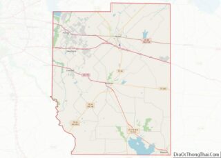
| County: | Kaufman County |
| Elevation: | 509 ft (155 m) |
| Total Area: | 27.33 sq mi (70.78 km²) |
| Land Area: | 26.95 sq mi (69.80 km²) |
| Water Area: | 0.38 sq mi (0.98 km²) |
| Total Population: | 17,465 |
| Population Density: | 640/sq mi (250/km²) |
| ZIP code: | 75160-75161 |
| Area code: | 214, 469, 972 |
| FIPS code: | 4872284 |
| GNISfeature ID: | 1348380 |
| Website: | cityofterrell.org |
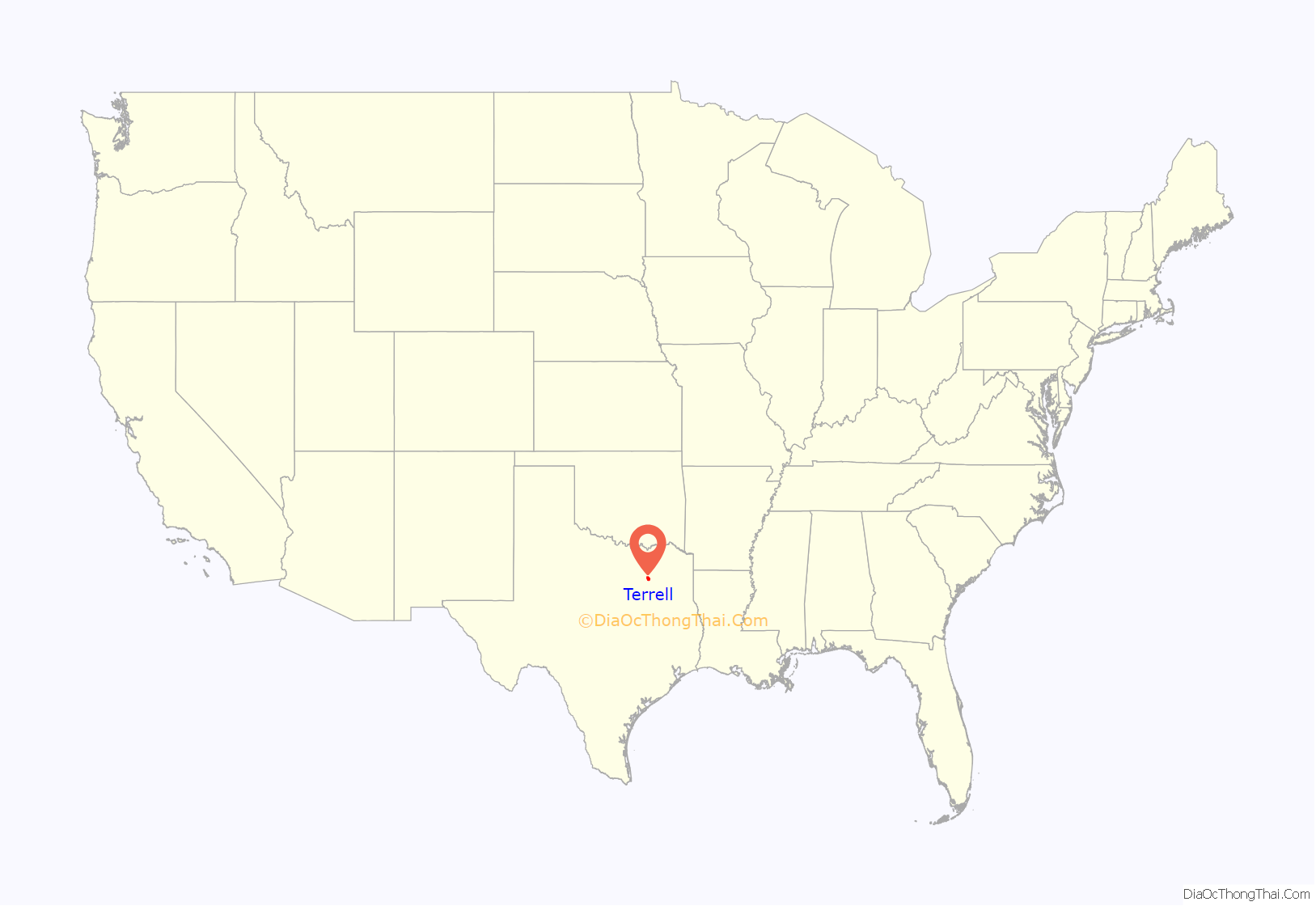
Online Interactive Map
Click on ![]() to view map in "full screen" mode.
to view map in "full screen" mode.
Terrell location map. Where is Terrell city?
History
Terrell developed as a railroad town, beginning in 1873 with construction of the Texas and Pacific Railroad line. The town was named for Robert A. Terrell, a pioneer European-American settler whose farm lay on its western edge. He built an octagonal house on his property, called “Round House”, to provide better defense against attacks by Native Americans. They had occupied this territory for thousands of years. His house was later fitted with the first glass windows in the county. The community was incorporated in 1875. The first automobile appeared in 1899.
In 1892, Terrell was a sundown town that largely prohibited African Americans from living there.
The Terrell Military College was established in Terrell, operating until after World War II. Its campus was sited on part of the former Terrell farm and incorporated his historic Round House. In 1949, the Southern Bible Institute, based in Dallas and affiliated with the Churches of Christ, bought the military college property and transferred their operations here, renaming their institution Southwestern Christian College. It is a private, historically black college. The Round House has been preserved on campus, and is one of 20 such structures in the nation.
The headquarters of the 3rd Battalion, 144th Infantry Regiment of the Texas Army National Guard was also located in Terrell.
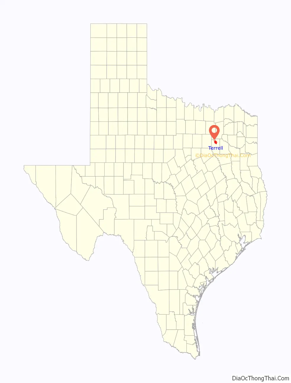
Terrell Road Map

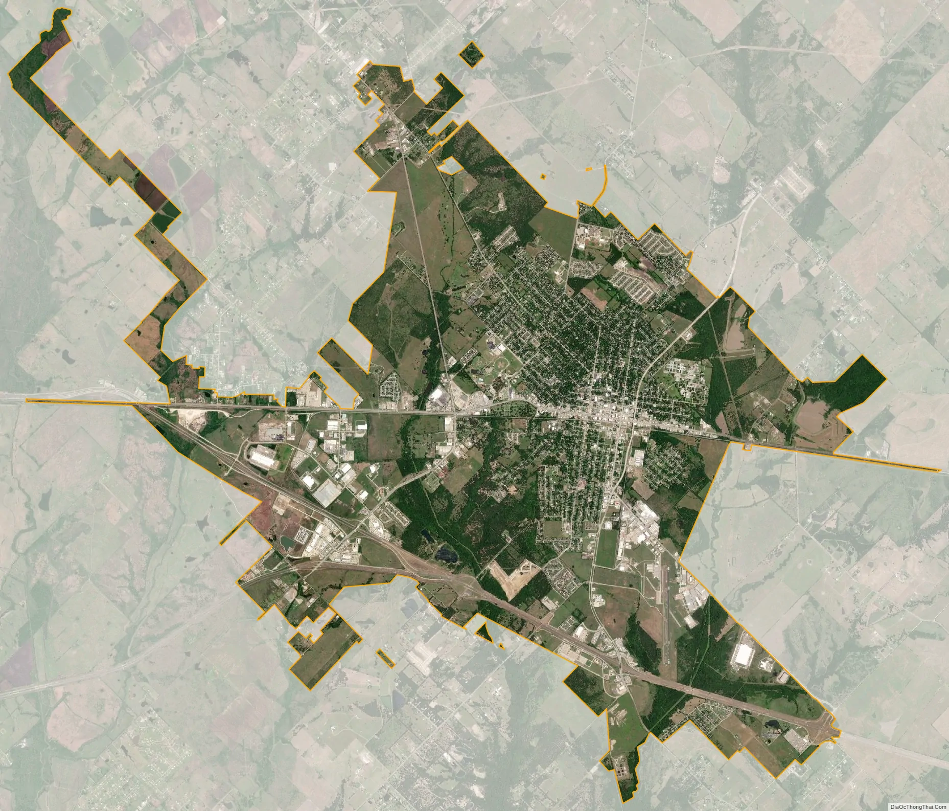
Terrell city Satellite Map
Geography
Terrell is located in northern Kaufman County at 32°44′15″N 96°16′57″W / 32.73750°N 96.28250°W / 32.73750; -96.28250 (32.737525, –96.282444). U.S. Route 80 passes through the city center, leading west to Dallas and east 15 miles (24 km) to Wills Point. Interstate 20 passes through the south side of the city, leading west 19 miles (31 km) to Interstate 635 in the southeast suburbs of Dallas (Balch Springs) and east 27 miles (43 km) to Canton. Texas State Highway 34 passes through the east side of Terrell, leading northeast 32 miles (51 km) to Greenville and south 12 miles (19 km) to Kaufman, the county seat.
According to the United States Census Bureau, Terrell has a total area of 20.0 square miles (51.8 km), of which 0.3 square miles (0.9 km), or 1.74%, is covered by water.
Climate
The climate in this area is characterized by hot, humid summers and generally mild to cool winters. According to the Köppen climate classification, Terrell has a humid subtropical climate, Cfa on climate maps.
See also
Map of Texas State and its subdivision:- Anderson
- Andrews
- Angelina
- Aransas
- Archer
- Armstrong
- Atascosa
- Austin
- Bailey
- Bandera
- Bastrop
- Baylor
- Bee
- Bell
- Bexar
- Blanco
- Borden
- Bosque
- Bowie
- Brazoria
- Brazos
- Brewster
- Briscoe
- Brooks
- Brown
- Burleson
- Burnet
- Caldwell
- Calhoun
- Callahan
- Cameron
- Camp
- Carson
- Cass
- Castro
- Chambers
- Cherokee
- Childress
- Clay
- Cochran
- Coke
- Coleman
- Collin
- Collingsworth
- Colorado
- Comal
- Comanche
- Concho
- Cooke
- Coryell
- Cottle
- Crane
- Crockett
- Crosby
- Culberson
- Dallam
- Dallas
- Dawson
- Deaf Smith
- Delta
- Denton
- Dewitt
- Dickens
- Dimmit
- Donley
- Duval
- Eastland
- Ector
- Edwards
- El Paso
- Ellis
- Erath
- Falls
- Fannin
- Fayette
- Fisher
- Floyd
- Foard
- Fort Bend
- Franklin
- Freestone
- Frio
- Gaines
- Galveston
- Garza
- Gillespie
- Glasscock
- Goliad
- Gonzales
- Gray
- Grayson
- Gregg
- Grimes
- Guadalupe
- Hale
- Hall
- Hamilton
- Hansford
- Hardeman
- Hardin
- Harris
- Harrison
- Hartley
- Haskell
- Hays
- Hemphill
- Henderson
- Hidalgo
- Hill
- Hockley
- Hood
- Hopkins
- Houston
- Howard
- Hudspeth
- Hunt
- Hutchinson
- Irion
- Jack
- Jackson
- Jasper
- Jeff Davis
- Jefferson
- Jim Hogg
- Jim Wells
- Johnson
- Jones
- Karnes
- Kaufman
- Kendall
- Kenedy
- Kent
- Kerr
- Kimble
- King
- Kinney
- Kleberg
- Knox
- La Salle
- Lamar
- Lamb
- Lampasas
- Lavaca
- Lee
- Leon
- Liberty
- Limestone
- Lipscomb
- Live Oak
- Llano
- Loving
- Lubbock
- Lynn
- Madison
- Marion
- Martin
- Mason
- Matagorda
- Maverick
- McCulloch
- McLennan
- McMullen
- Medina
- Menard
- Midland
- Milam
- Mills
- Mitchell
- Montague
- Montgomery
- Moore
- Morris
- Motley
- Nacogdoches
- Navarro
- Newton
- Nolan
- Nueces
- Ochiltree
- Oldham
- Orange
- Palo Pinto
- Panola
- Parker
- Parmer
- Pecos
- Polk
- Potter
- Presidio
- Rains
- Randall
- Reagan
- Real
- Red River
- Reeves
- Refugio
- Roberts
- Robertson
- Rockwall
- Runnels
- Rusk
- Sabine
- San Augustine
- San Jacinto
- San Patricio
- San Saba
- Schleicher
- Scurry
- Shackelford
- Shelby
- Sherman
- Smith
- Somervell
- Starr
- Stephens
- Sterling
- Stonewall
- Sutton
- Swisher
- Tarrant
- Taylor
- Terrell
- Terry
- Throckmorton
- Titus
- Tom Green
- Travis
- Trinity
- Tyler
- Upshur
- Upton
- Uvalde
- Val Verde
- Van Zandt
- Victoria
- Walker
- Waller
- Ward
- Washington
- Webb
- Wharton
- Wheeler
- Wichita
- Wilbarger
- Willacy
- Williamson
- Wilson
- Winkler
- Wise
- Wood
- Yoakum
- Young
- Zapata
- Zavala
- Alabama
- Alaska
- Arizona
- Arkansas
- California
- Colorado
- Connecticut
- Delaware
- District of Columbia
- Florida
- Georgia
- Hawaii
- Idaho
- Illinois
- Indiana
- Iowa
- Kansas
- Kentucky
- Louisiana
- Maine
- Maryland
- Massachusetts
- Michigan
- Minnesota
- Mississippi
- Missouri
- Montana
- Nebraska
- Nevada
- New Hampshire
- New Jersey
- New Mexico
- New York
- North Carolina
- North Dakota
- Ohio
- Oklahoma
- Oregon
- Pennsylvania
- Rhode Island
- South Carolina
- South Dakota
- Tennessee
- Texas
- Utah
- Vermont
- Virginia
- Washington
- West Virginia
- Wisconsin
- Wyoming