Venus is a town in Johnson and Ellis counties in the U.S. state of Texas. The population was 4,361 in 2020.
| Name: | Venus town |
|---|---|
| LSAD Code: | 43 |
| LSAD Description: | town (suffix) |
| State: | Texas |
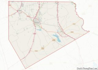
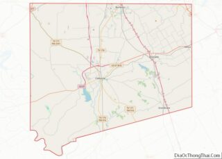
| County: | Ellis County, Johnson County |
| Elevation: | 666 ft (203 m) |
| Total Area: | 3.10 sq mi (8.02 km²) |
| Land Area: | 3.10 sq mi (8.02 km²) |
| Water Area: | 0.00 sq mi (0.00 km²) |
| Total Population: | 4,361 |
| Population Density: | 1,400/sq mi (540/km²) |
| ZIP code: | 76084 |
| Area code: | 214, 469, 972 |
| FIPS code: | 4875236 |
| GNISfeature ID: | 1349239 |
| Website: | cityofvenus.org |
Online Interactive Map
Click on ![]() to view map in "full screen" mode.
to view map in "full screen" mode.
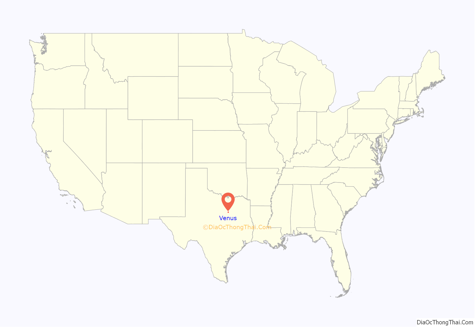
Venus location map. Where is Venus town?
History
The town was originally named “Gossip” until its development in the late 1880s. A man by the name of J.C. Smythe purchased 80 acres (32 ha) abandoned plans for a cornfields in the northeastern corner of Johnson County and began to plan a townsite. He named his new town “Venus” after the daughter of a local doctor. By 1888 the new town had a post office and a population of around 10 residents. Being at the junction of two major railroads, Venus prospered and for a time was one of the fastest-growing communities in Johnson County. By the 1920s, Venus had its own schools (including a small college), several businesses, a weekly newspaper (the Venus Express), and a population that exceeded 800.
The Great Depression had massive negative impact. The town also began to decline in the 1930s. Growth of the Dallas–Fort Worth metroplex just to the north hastened its decline, with many of its residents relocating to the growing urban area in search of work. By 1940 the population had fallen to 200, and the only remaining operating business was the drug store.
Venus began to recover somewhat in the late 1940s, and the population soon increased back to over 300. Growth was slow but steady throughout the remainder of the 20th century; by 1990 there were 977 residents and the town had spread into neighboring Ellis County. The 2000 census listed the population as 910, but the population more than tripled to 2,960 in 2010, due largely to the southward expansion of the Metroplex.
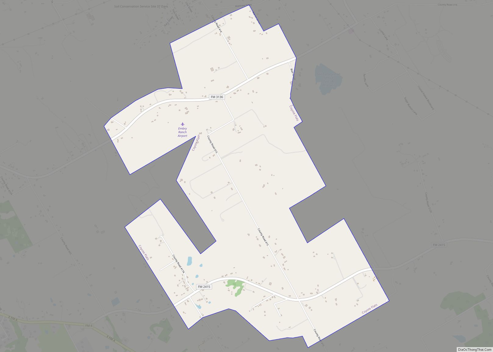
Venus Road Map
Venus city Satellite Map
Geography
Venus is located in northeastern Johnson County at 32°25′46″N 97°6′25″W / 32.42944°N 97.10694°W / 32.42944; -97.10694 (32.429383, –97.107022). According to the United States Census Bureau, the town has a total area of 3.0 square miles (7.7 km), all of it land.
U.S. Route 67 passes through the town north of its center; the highway leads northeast 7.5 miles (12.1 km) to the center of Midlothian and west 7 miles (11 km) to Alvarado. Downtown Dallas and Fort Worth are each 31 miles (50 km) away, Dallas to the northeast and Fort Worth to the northwest.
Climate
The climate in this area is characterized by its hot, humid summers and generally mild to cool winters. According to the Köppen Climate Classification system, Venus has a humid subtropical climate, abbreviated “Cfa” on climate maps.
See also
Map of Texas State and its subdivision:- Anderson
- Andrews
- Angelina
- Aransas
- Archer
- Armstrong
- Atascosa
- Austin
- Bailey
- Bandera
- Bastrop
- Baylor
- Bee
- Bell
- Bexar
- Blanco
- Borden
- Bosque
- Bowie
- Brazoria
- Brazos
- Brewster
- Briscoe
- Brooks
- Brown
- Burleson
- Burnet
- Caldwell
- Calhoun
- Callahan
- Cameron
- Camp
- Carson
- Cass
- Castro
- Chambers
- Cherokee
- Childress
- Clay
- Cochran
- Coke
- Coleman
- Collin
- Collingsworth
- Colorado
- Comal
- Comanche
- Concho
- Cooke
- Coryell
- Cottle
- Crane
- Crockett
- Crosby
- Culberson
- Dallam
- Dallas
- Dawson
- Deaf Smith
- Delta
- Denton
- Dewitt
- Dickens
- Dimmit
- Donley
- Duval
- Eastland
- Ector
- Edwards
- El Paso
- Ellis
- Erath
- Falls
- Fannin
- Fayette
- Fisher
- Floyd
- Foard
- Fort Bend
- Franklin
- Freestone
- Frio
- Gaines
- Galveston
- Garza
- Gillespie
- Glasscock
- Goliad
- Gonzales
- Gray
- Grayson
- Gregg
- Grimes
- Guadalupe
- Hale
- Hall
- Hamilton
- Hansford
- Hardeman
- Hardin
- Harris
- Harrison
- Hartley
- Haskell
- Hays
- Hemphill
- Henderson
- Hidalgo
- Hill
- Hockley
- Hood
- Hopkins
- Houston
- Howard
- Hudspeth
- Hunt
- Hutchinson
- Irion
- Jack
- Jackson
- Jasper
- Jeff Davis
- Jefferson
- Jim Hogg
- Jim Wells
- Johnson
- Jones
- Karnes
- Kaufman
- Kendall
- Kenedy
- Kent
- Kerr
- Kimble
- King
- Kinney
- Kleberg
- Knox
- La Salle
- Lamar
- Lamb
- Lampasas
- Lavaca
- Lee
- Leon
- Liberty
- Limestone
- Lipscomb
- Live Oak
- Llano
- Loving
- Lubbock
- Lynn
- Madison
- Marion
- Martin
- Mason
- Matagorda
- Maverick
- McCulloch
- McLennan
- McMullen
- Medina
- Menard
- Midland
- Milam
- Mills
- Mitchell
- Montague
- Montgomery
- Moore
- Morris
- Motley
- Nacogdoches
- Navarro
- Newton
- Nolan
- Nueces
- Ochiltree
- Oldham
- Orange
- Palo Pinto
- Panola
- Parker
- Parmer
- Pecos
- Polk
- Potter
- Presidio
- Rains
- Randall
- Reagan
- Real
- Red River
- Reeves
- Refugio
- Roberts
- Robertson
- Rockwall
- Runnels
- Rusk
- Sabine
- San Augustine
- San Jacinto
- San Patricio
- San Saba
- Schleicher
- Scurry
- Shackelford
- Shelby
- Sherman
- Smith
- Somervell
- Starr
- Stephens
- Sterling
- Stonewall
- Sutton
- Swisher
- Tarrant
- Taylor
- Terrell
- Terry
- Throckmorton
- Titus
- Tom Green
- Travis
- Trinity
- Tyler
- Upshur
- Upton
- Uvalde
- Val Verde
- Van Zandt
- Victoria
- Walker
- Waller
- Ward
- Washington
- Webb
- Wharton
- Wheeler
- Wichita
- Wilbarger
- Willacy
- Williamson
- Wilson
- Winkler
- Wise
- Wood
- Yoakum
- Young
- Zapata
- Zavala
- Alabama
- Alaska
- Arizona
- Arkansas
- California
- Colorado
- Connecticut
- Delaware
- District of Columbia
- Florida
- Georgia
- Hawaii
- Idaho
- Illinois
- Indiana
- Iowa
- Kansas
- Kentucky
- Louisiana
- Maine
- Maryland
- Massachusetts
- Michigan
- Minnesota
- Mississippi
- Missouri
- Montana
- Nebraska
- Nevada
- New Hampshire
- New Jersey
- New Mexico
- New York
- North Carolina
- North Dakota
- Ohio
- Oklahoma
- Oregon
- Pennsylvania
- Rhode Island
- South Carolina
- South Dakota
- Tennessee
- Texas
- Utah
- Vermont
- Virginia
- Washington
- West Virginia
- Wisconsin
- Wyoming
