Webster is a city in the U.S. state of Texas located in Harris County, within the Houston–The Woodlands–Sugar Land metropolitan area. Its population was 12,499 at the 2020 U.S. census.
| Name: | Webster city |
|---|---|
| LSAD Code: | 25 |
| LSAD Description: | city (suffix) |
| State: | Texas |
| County: | Harris County |
| Elevation: | 23 ft (7 m) |
| Total Area: | 6.62 sq mi (17.15 km²) |
| Land Area: | 6.39 sq mi (16.56 km²) |
| Water Area: | 0.23 sq mi (0.59 km²) |
| Total Population: | 12,499 |
| Population Density: | 1,791.46/sq mi (691.64/km²) |
| ZIP code: | 77598 |
| Area code: | 281 |
| FIPS code: | 4876948 |
| GNISfeature ID: | 1349594 |
| Website: | www.cityofwebster.com |
Online Interactive Map
Click on ![]() to view map in "full screen" mode.
to view map in "full screen" mode.
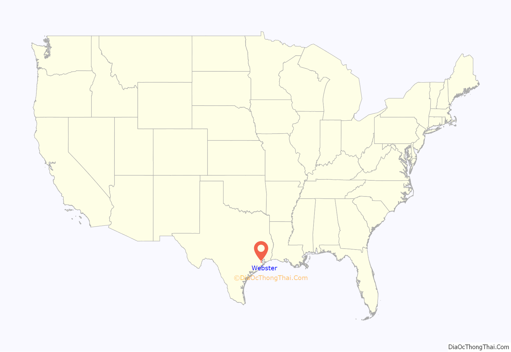
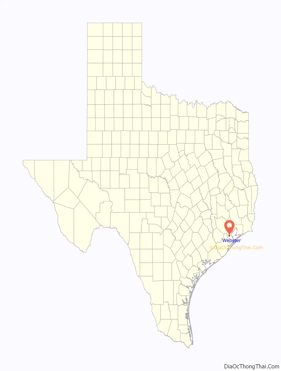
Webster location map. Where is Webster city?
History
The community was founded in 1879 by James W. Webster under the name “Gardentown”. It was established initially as a colony for settlers from England. It began as a stopover for travelers between Houston/Harrisburg, Galveston, Kemah, and Seabrook. Eventually, railroads, such as the Missouri, Kansas and Texas Railway, were built through the area. Farmers in the area raised pears and other produce.
In 1903, the Houston Chamber of Commerce invited Seito Saibara, a former Japanese member of parliament and a Christian theologian, to come to Texas to teach rice farming. Rice at that time was emerging as an important cash crop. Saibara settled in Webster and established a small farming community of Japanese Christians. Saibara and his son Kiyoaki established the foundations of what became the rice industry of the U.S. Gulf Coast.
Dairies and livestock ranches developed in the town, as well, in the early 1900s. Petroleum was discovered at the Webster (Friendswood) Oil Field in 1937, but the population remained small. The community was incorporated in 1958.
In 1961, the National Aeronautics and Space Administration announced that it was building the Manned Spacecraft Center (now known as the Johnson Space Center) nearby along the shores of Clear Lake. Growth and development quickly swept over the Clear Lake area, and Webster’s population blossomed. Webster today has become a thriving bedroom community closely tied to the Clear Lake area and its high-tech industry.
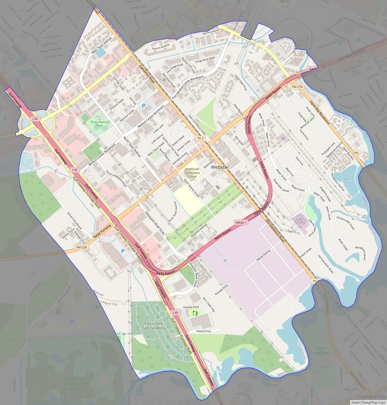
Webster Road Map
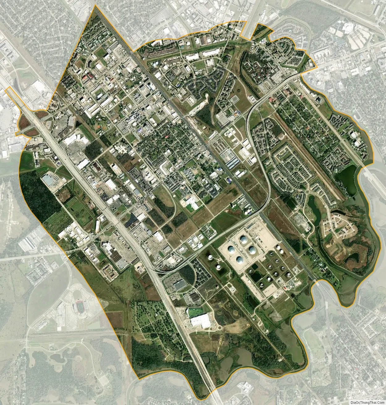
Webster city Satellite Map
Geography
Webster is located in southeastern Harris County at 29°32′19″N 95°07′10″W / 29.538581°N 95.119354°W / 29.538581; -95.119354 (29.538581, –95.119354). It is bordered to the north by the city of Houston and to the northeast by Nassau Bay. Clear Creek forms the southeastern border of Webster and is the Harris County / Galveston County line. League City borders Webster to the south and southwest, in both counties.
Interstate 45 runs through the western side of Webster, with access from exits 23 through 25. Downtown Houston is 22 miles (35 km) to the northwest, and Galveston is 28 miles (45 km) to the southeast.
According to the United States Census Bureau, the city has a total area of 6.6 square miles (17.0 km), of which 0.23 square miles (0.6 km), or 3.24%, is covered by water.
Climate
The climate in this area is characterized by hot, humid summers and generally mild to cool winters. According to the Köppen climate classification , Webster has a humid subtropical climate, Cfa on climate maps.
See also
Map of Texas State and its subdivision:- Anderson
- Andrews
- Angelina
- Aransas
- Archer
- Armstrong
- Atascosa
- Austin
- Bailey
- Bandera
- Bastrop
- Baylor
- Bee
- Bell
- Bexar
- Blanco
- Borden
- Bosque
- Bowie
- Brazoria
- Brazos
- Brewster
- Briscoe
- Brooks
- Brown
- Burleson
- Burnet
- Caldwell
- Calhoun
- Callahan
- Cameron
- Camp
- Carson
- Cass
- Castro
- Chambers
- Cherokee
- Childress
- Clay
- Cochran
- Coke
- Coleman
- Collin
- Collingsworth
- Colorado
- Comal
- Comanche
- Concho
- Cooke
- Coryell
- Cottle
- Crane
- Crockett
- Crosby
- Culberson
- Dallam
- Dallas
- Dawson
- Deaf Smith
- Delta
- Denton
- Dewitt
- Dickens
- Dimmit
- Donley
- Duval
- Eastland
- Ector
- Edwards
- El Paso
- Ellis
- Erath
- Falls
- Fannin
- Fayette
- Fisher
- Floyd
- Foard
- Fort Bend
- Franklin
- Freestone
- Frio
- Gaines
- Galveston
- Garza
- Gillespie
- Glasscock
- Goliad
- Gonzales
- Gray
- Grayson
- Gregg
- Grimes
- Guadalupe
- Hale
- Hall
- Hamilton
- Hansford
- Hardeman
- Hardin
- Harris
- Harrison
- Hartley
- Haskell
- Hays
- Hemphill
- Henderson
- Hidalgo
- Hill
- Hockley
- Hood
- Hopkins
- Houston
- Howard
- Hudspeth
- Hunt
- Hutchinson
- Irion
- Jack
- Jackson
- Jasper
- Jeff Davis
- Jefferson
- Jim Hogg
- Jim Wells
- Johnson
- Jones
- Karnes
- Kaufman
- Kendall
- Kenedy
- Kent
- Kerr
- Kimble
- King
- Kinney
- Kleberg
- Knox
- La Salle
- Lamar
- Lamb
- Lampasas
- Lavaca
- Lee
- Leon
- Liberty
- Limestone
- Lipscomb
- Live Oak
- Llano
- Loving
- Lubbock
- Lynn
- Madison
- Marion
- Martin
- Mason
- Matagorda
- Maverick
- McCulloch
- McLennan
- McMullen
- Medina
- Menard
- Midland
- Milam
- Mills
- Mitchell
- Montague
- Montgomery
- Moore
- Morris
- Motley
- Nacogdoches
- Navarro
- Newton
- Nolan
- Nueces
- Ochiltree
- Oldham
- Orange
- Palo Pinto
- Panola
- Parker
- Parmer
- Pecos
- Polk
- Potter
- Presidio
- Rains
- Randall
- Reagan
- Real
- Red River
- Reeves
- Refugio
- Roberts
- Robertson
- Rockwall
- Runnels
- Rusk
- Sabine
- San Augustine
- San Jacinto
- San Patricio
- San Saba
- Schleicher
- Scurry
- Shackelford
- Shelby
- Sherman
- Smith
- Somervell
- Starr
- Stephens
- Sterling
- Stonewall
- Sutton
- Swisher
- Tarrant
- Taylor
- Terrell
- Terry
- Throckmorton
- Titus
- Tom Green
- Travis
- Trinity
- Tyler
- Upshur
- Upton
- Uvalde
- Val Verde
- Van Zandt
- Victoria
- Walker
- Waller
- Ward
- Washington
- Webb
- Wharton
- Wheeler
- Wichita
- Wilbarger
- Willacy
- Williamson
- Wilson
- Winkler
- Wise
- Wood
- Yoakum
- Young
- Zapata
- Zavala
- Alabama
- Alaska
- Arizona
- Arkansas
- California
- Colorado
- Connecticut
- Delaware
- District of Columbia
- Florida
- Georgia
- Hawaii
- Idaho
- Illinois
- Indiana
- Iowa
- Kansas
- Kentucky
- Louisiana
- Maine
- Maryland
- Massachusetts
- Michigan
- Minnesota
- Mississippi
- Missouri
- Montana
- Nebraska
- Nevada
- New Hampshire
- New Jersey
- New Mexico
- New York
- North Carolina
- North Dakota
- Ohio
- Oklahoma
- Oregon
- Pennsylvania
- Rhode Island
- South Carolina
- South Dakota
- Tennessee
- Texas
- Utah
- Vermont
- Virginia
- Washington
- West Virginia
- Wisconsin
- Wyoming


