Alice is a city in, and the county seat of, Jim Wells County, Texas, United States, in the South Texas region of the state. The population was 19,104 at the 2010 census. Alice was established in 1888. First it was called “Bandana”, then “Kleberg”, and finally “Alice” after Alice Gertrudis King Kleberg, the daughter of Richard King, who established the King Ranch.
| Name: | Alice city |
|---|---|
| LSAD Code: | 25 |
| LSAD Description: | city (suffix) |
| State: | Texas |
| County: | Jim Wells County |
| Elevation: | 202 ft (62 m) |
| Total Area: | 12.58 sq mi (32.58 km²) |
| Land Area: | 11.99 sq mi (31.06 km²) |
| Water Area: | 0.59 sq mi (1.52 km²) |
| Total Population: | 19,104 |
| Population Density: | 1,557.87/sq mi (601.48/km²) |
| ZIP code: | 78332, 78333 |
| Area code: | 361 |
| FIPS code: | 4801852 |
| GNISfeature ID: | 1329361 |
| Website: | www.cityofalice.org |
Online Interactive Map
Click on ![]() to view map in "full screen" mode.
to view map in "full screen" mode.
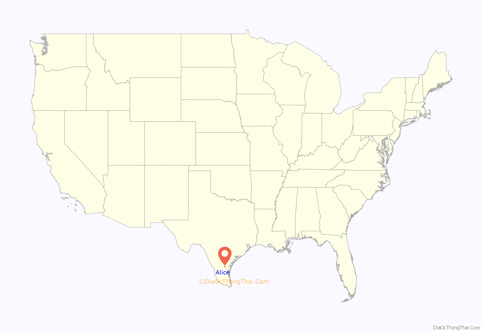
Alice location map. Where is Alice city?
History
Alice originated from the defunct community of Collins, 3 miles (5 km) to the east. c. 1880, the San Antonio and Aransas Pass Railway attempted to build a line through Collins, which then had approximately 2,000 inhabitants. The townspeople were not amenable to selling their land to the railroad company; consequently, the railroad site was moved 3 miles west, and in 1883, a depot called “Bandana” was established at its junction with the Corpus Christi, San Diego and Rio Grande Railway. Bandana soon became a thriving cattle-shipping point, and an application for a post office was made under the name “Kleberg” in honor of Robert Justus Kleberg, a veteran of the Battle of San Jacinto. The petition was denied because a town named Kleberg already appeared on the post office list, so residents then chose the name “Alice”, in honor of Alice Gertrudis King Kleberg, Robert Justus Kleberg Jr.’s wife and the daughter of Richard and Henrietta King. The Alice post office opened for business in 1888. Within a few years, the remaining residents of Collins moved to Alice, which was by then a thriving community.
Alice was known for its large cattle industry until the discovery of petroleum beneath and around the town in the 1940s, which caused a slight population boom.
In the 1948 United States Senate election in Texas, an incident (Box 13 scandal) involving Lyndon B. Johnson’s bid for the U.S. Senate took place at Alice’s Precinct 13, where 202 ballots were cast in alphabetical order and all just at the close of polling in favor of Johnson. Johnson won the election against Coke Stevenson by 87 votes.
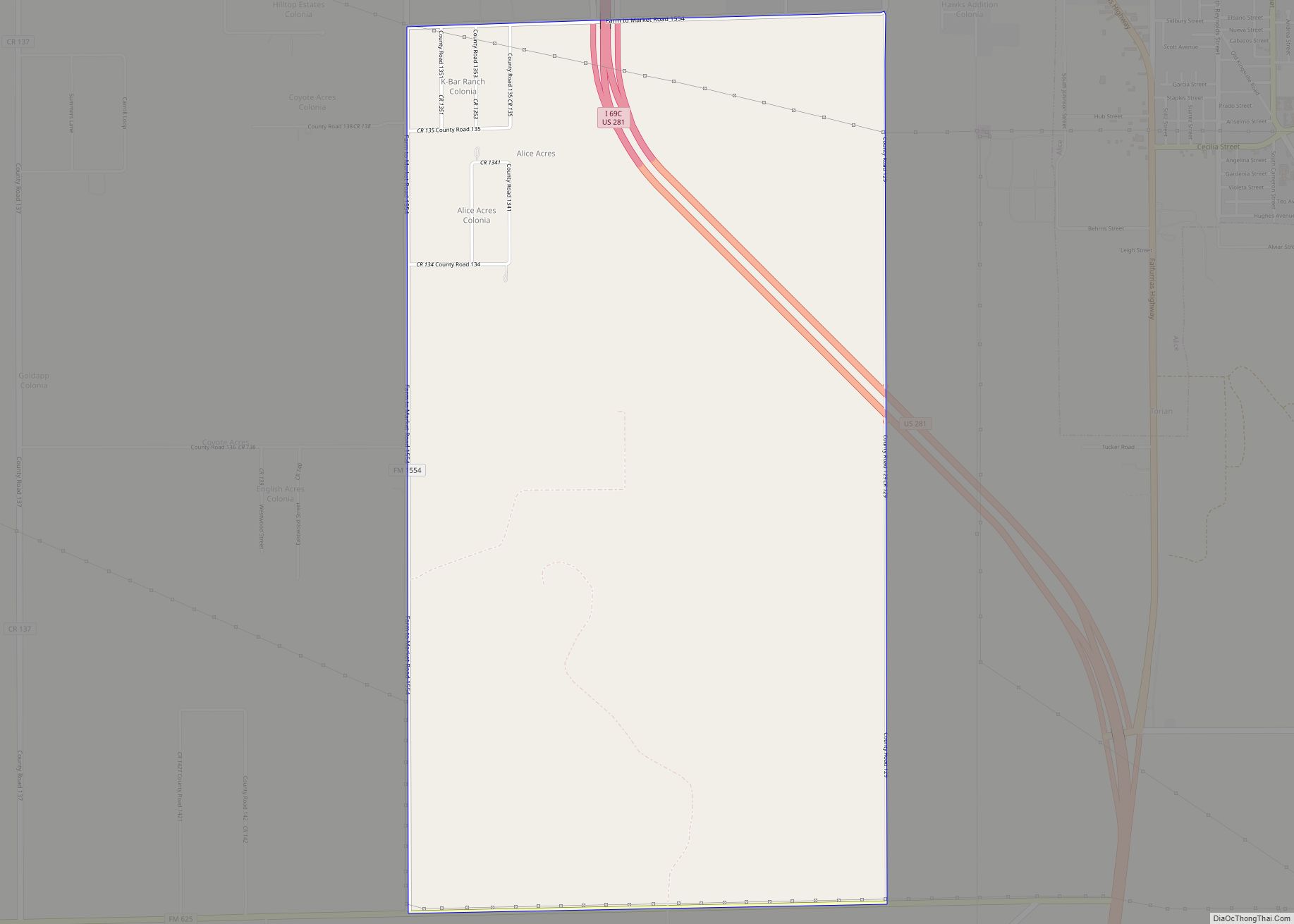
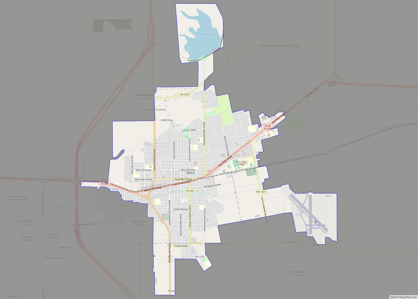
Alice Road Map
Alice city Satellite Map
Geography
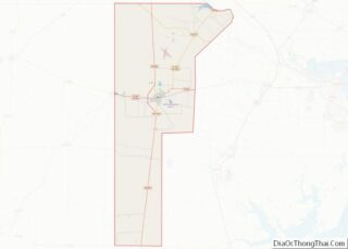
Alice is located in central Jim Wells County at 27°45′02″N 98°04′14″W / 27.750652°N 98.070460°W / 27.750652; -98.070460 (27.750652, –98.070460). According to the United States Census Bureau, the city has a total area of 12.6 square miles (32.6 km), of which 12.0 square miles (31.1 km) are land and 0.58 square miles (1.5 km), or 4.66%, are covered by water. Alice falls within the boundaries of South Texas and the Texas Coastal Bend region.
U.S. Route 281 passes just west of the city limits on a bypass. The highway leads north 41 miles (66 km) to George West and south 37 miles (60 km) to Falfurrias. Texas State Highway 44 passes through the center of town as Front Street and leads east 26 miles (42 km) to Robstown and west 35 miles (56 km) to Freer. Texas State Highway 359 joins SH 44 through the center of Alice, but leads northeast 30 miles (48 km) to Mathis and southwest 53 miles (85 km) to Hebbronville.
The nearest metropolitan areas are Corpus Christi, 45 miles (72 km) to the east, and Laredo, 98 miles (158 km) to the west.
See also
Map of Texas State and its subdivision:- Anderson
- Andrews
- Angelina
- Aransas
- Archer
- Armstrong
- Atascosa
- Austin
- Bailey
- Bandera
- Bastrop
- Baylor
- Bee
- Bell
- Bexar
- Blanco
- Borden
- Bosque
- Bowie
- Brazoria
- Brazos
- Brewster
- Briscoe
- Brooks
- Brown
- Burleson
- Burnet
- Caldwell
- Calhoun
- Callahan
- Cameron
- Camp
- Carson
- Cass
- Castro
- Chambers
- Cherokee
- Childress
- Clay
- Cochran
- Coke
- Coleman
- Collin
- Collingsworth
- Colorado
- Comal
- Comanche
- Concho
- Cooke
- Coryell
- Cottle
- Crane
- Crockett
- Crosby
- Culberson
- Dallam
- Dallas
- Dawson
- Deaf Smith
- Delta
- Denton
- Dewitt
- Dickens
- Dimmit
- Donley
- Duval
- Eastland
- Ector
- Edwards
- El Paso
- Ellis
- Erath
- Falls
- Fannin
- Fayette
- Fisher
- Floyd
- Foard
- Fort Bend
- Franklin
- Freestone
- Frio
- Gaines
- Galveston
- Garza
- Gillespie
- Glasscock
- Goliad
- Gonzales
- Gray
- Grayson
- Gregg
- Grimes
- Guadalupe
- Hale
- Hall
- Hamilton
- Hansford
- Hardeman
- Hardin
- Harris
- Harrison
- Hartley
- Haskell
- Hays
- Hemphill
- Henderson
- Hidalgo
- Hill
- Hockley
- Hood
- Hopkins
- Houston
- Howard
- Hudspeth
- Hunt
- Hutchinson
- Irion
- Jack
- Jackson
- Jasper
- Jeff Davis
- Jefferson
- Jim Hogg
- Jim Wells
- Johnson
- Jones
- Karnes
- Kaufman
- Kendall
- Kenedy
- Kent
- Kerr
- Kimble
- King
- Kinney
- Kleberg
- Knox
- La Salle
- Lamar
- Lamb
- Lampasas
- Lavaca
- Lee
- Leon
- Liberty
- Limestone
- Lipscomb
- Live Oak
- Llano
- Loving
- Lubbock
- Lynn
- Madison
- Marion
- Martin
- Mason
- Matagorda
- Maverick
- McCulloch
- McLennan
- McMullen
- Medina
- Menard
- Midland
- Milam
- Mills
- Mitchell
- Montague
- Montgomery
- Moore
- Morris
- Motley
- Nacogdoches
- Navarro
- Newton
- Nolan
- Nueces
- Ochiltree
- Oldham
- Orange
- Palo Pinto
- Panola
- Parker
- Parmer
- Pecos
- Polk
- Potter
- Presidio
- Rains
- Randall
- Reagan
- Real
- Red River
- Reeves
- Refugio
- Roberts
- Robertson
- Rockwall
- Runnels
- Rusk
- Sabine
- San Augustine
- San Jacinto
- San Patricio
- San Saba
- Schleicher
- Scurry
- Shackelford
- Shelby
- Sherman
- Smith
- Somervell
- Starr
- Stephens
- Sterling
- Stonewall
- Sutton
- Swisher
- Tarrant
- Taylor
- Terrell
- Terry
- Throckmorton
- Titus
- Tom Green
- Travis
- Trinity
- Tyler
- Upshur
- Upton
- Uvalde
- Val Verde
- Van Zandt
- Victoria
- Walker
- Waller
- Ward
- Washington
- Webb
- Wharton
- Wheeler
- Wichita
- Wilbarger
- Willacy
- Williamson
- Wilson
- Winkler
- Wise
- Wood
- Yoakum
- Young
- Zapata
- Zavala
- Alabama
- Alaska
- Arizona
- Arkansas
- California
- Colorado
- Connecticut
- Delaware
- District of Columbia
- Florida
- Georgia
- Hawaii
- Idaho
- Illinois
- Indiana
- Iowa
- Kansas
- Kentucky
- Louisiana
- Maine
- Maryland
- Massachusetts
- Michigan
- Minnesota
- Mississippi
- Missouri
- Montana
- Nebraska
- Nevada
- New Hampshire
- New Jersey
- New Mexico
- New York
- North Carolina
- North Dakota
- Ohio
- Oklahoma
- Oregon
- Pennsylvania
- Rhode Island
- South Carolina
- South Dakota
- Tennessee
- Texas
- Utah
- Vermont
- Virginia
- Washington
- West Virginia
- Wisconsin
- Wyoming
