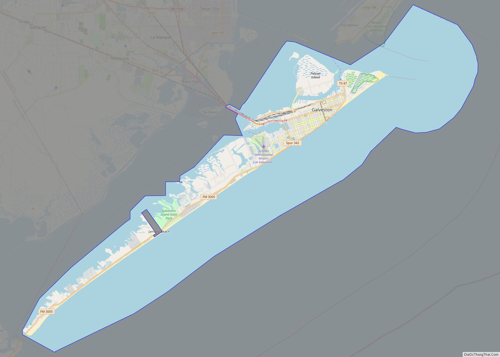
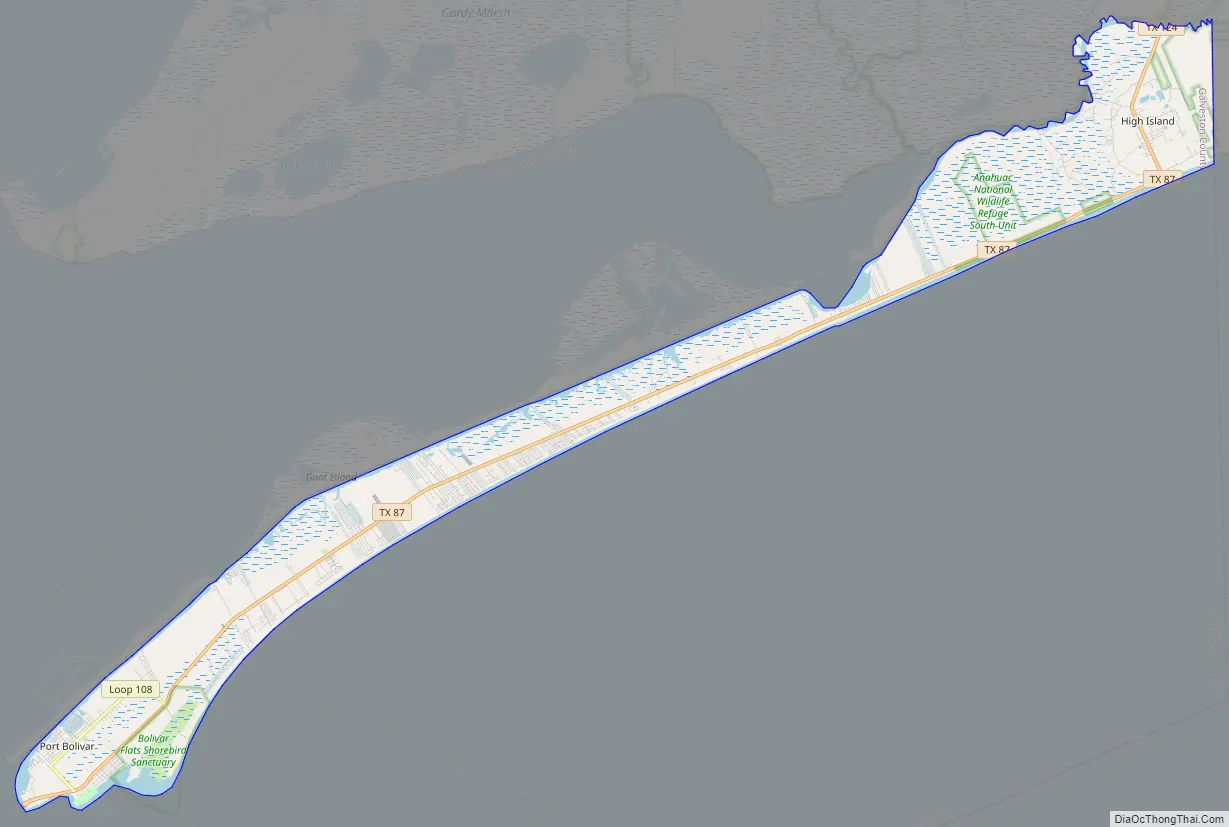
Bolivar Peninsula (/ˈbɒlɪvər/ BOL-i-vər) is a census-designated place (CDP) in Galveston County, Texas, United States. The population was 2,417 at the 2010 census. The communities of Port Bolivar, Crystal Beach, Caplen, Gilchrist, and High Island are located on Bolivar Peninsula.
| Name: | Bolivar Peninsula CDP |
|---|---|
| LSAD Code: | 57 |
| LSAD Description: | CDP (suffix) |
| State: | Texas |
| County: | Galveston County |
| Elevation: | 10 ft (3 m) |
| Total Area: | 48.1 sq mi (124.7 km²) |
| Land Area: | 42.5 sq mi (110.1 km²) |
| Water Area: | 5.6 sq mi (14.6 km²) |
| Total Population: | 2,417 |
| Population Density: | 50/sq mi (19/km²) |
| FIPS code: | 4809250 |
| GNISfeature ID: | 1852688 |
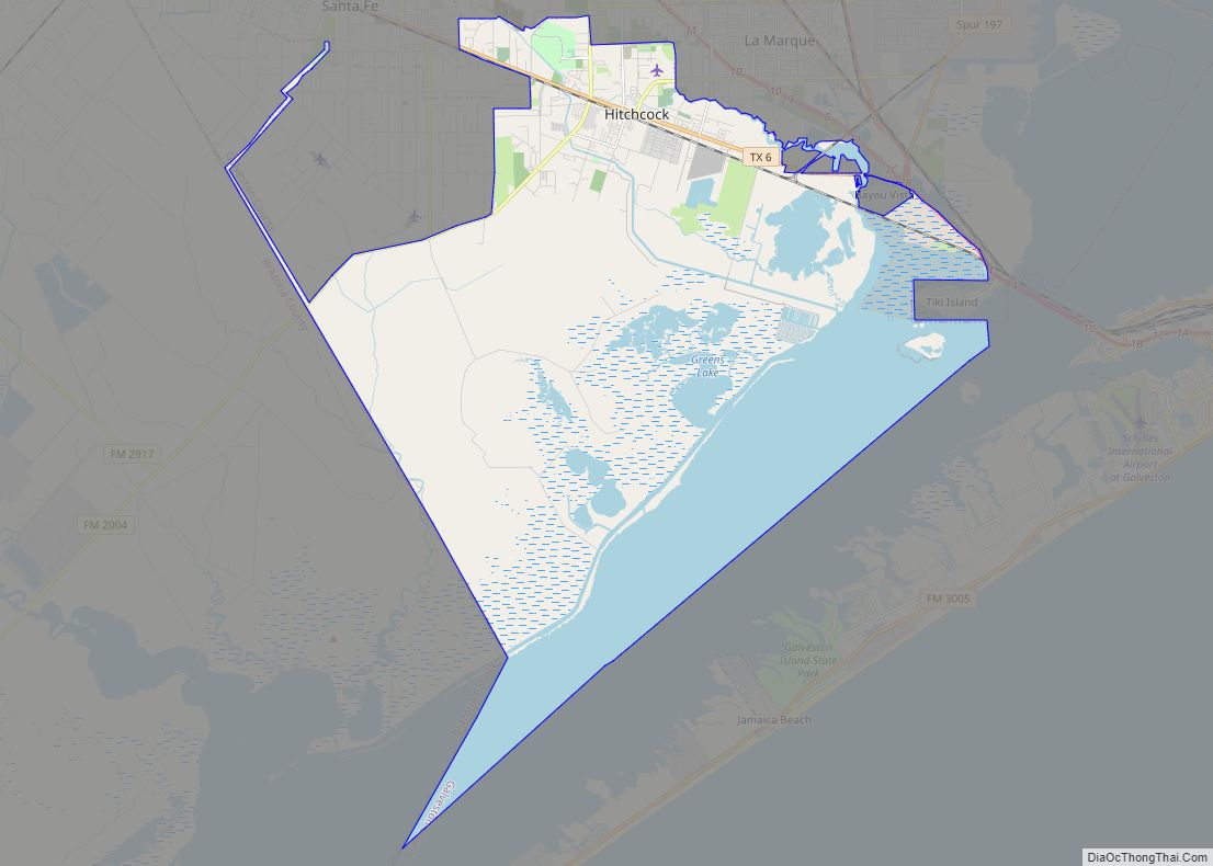
Online Interactive Map
Click on ![]() to view map in "full screen" mode.
to view map in "full screen" mode.
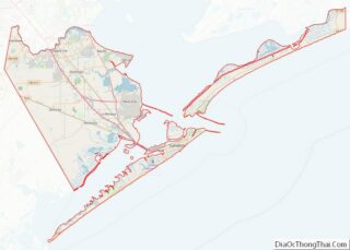
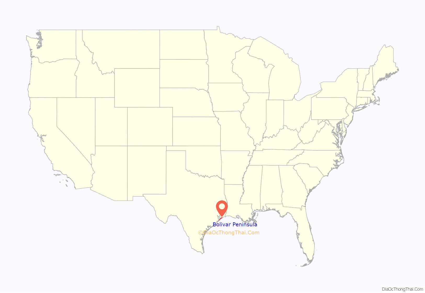
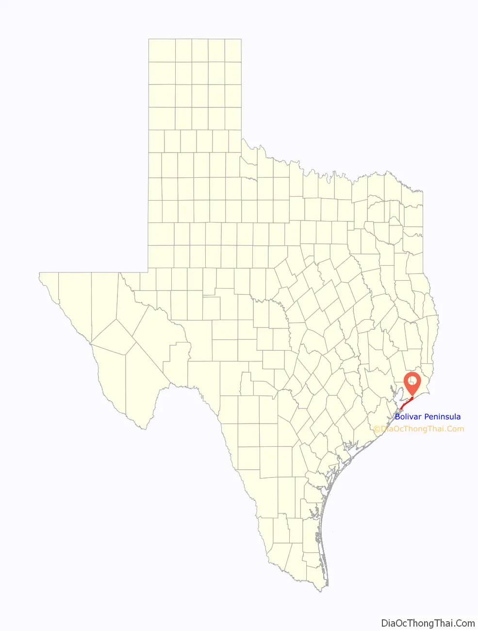
Bolivar Peninsula location map. Where is Bolivar Peninsula CDP?
History
The peninsula was named in 1816 for Simón Bolívar, the famed Venezuelan political leader involved in the independence movements of Venezuela, Colombia, Peru, Bolivia, and other Latin American nations. The pirates/privateers Jean Laffite and Louis-Michel Aury each used the Bolivar Peninsula as part of the pirate kingdom established around the Galveston Bay. The peninsula was part of an overland slave route between Louisiana and Galveston. James Long based his operations on the peninsula since 1819 with the first establishment of Bolivar Peninsula, and Fort Las Casas was built in 1820. Samuel D. Parr was responsible for starting the settlement in 1838 that would later become Port Bolivar.
The Point Bolivar Lighthouse (which is now privately owned and not open to the public) has an important history with the peninsula, built in 1872. The lighthouse is located on the western end of the peninsula, directly across from Fort Travis Seashore Park. Fort Travis in Bolivar Peninsula, a separate facility from Fort Travis in Galveston, was built with construction starting in 1898. The North Jetty, extending from Bolivar Peninsula, of the entrance to Galveston Bay started being constructed in 1874. From 1896 to 1942, the Gulf & Interstate, a subsidiary of Gulf, Colorado & Santa Fe Railway, connected Beaumont to Galveston Island with aid of train ferries. At one time the Bolivar Peninsula was called the “breadbasket of Galveston” and the “watermelon capital of Texas”.
Crystal Beach was incorporated from 1971 until 1987, and it has been the most populated community of the Bolivar Peninsula. On April 23, 1991, communities of Bolivar Peninsula received an enhanced 9-1-1 system which routes calls to proper dispatchers and allows dispatchers to automatically view the address of the caller. The Bolivar Peninsula suffered heavy damage from Hurricane Ike that made landfall on the Texas coast on September 13, 2008.
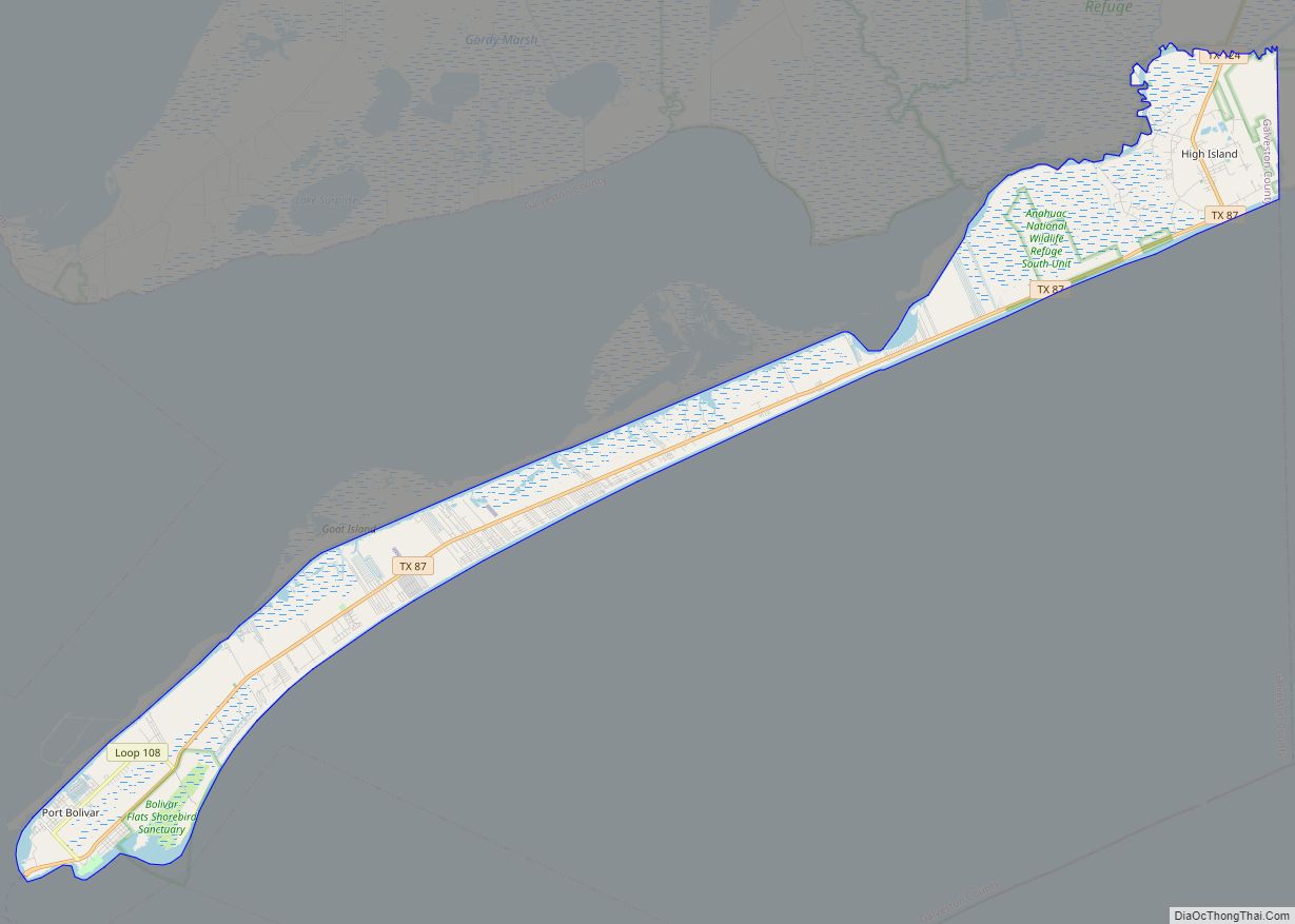
Bolivar Peninsula Road Map
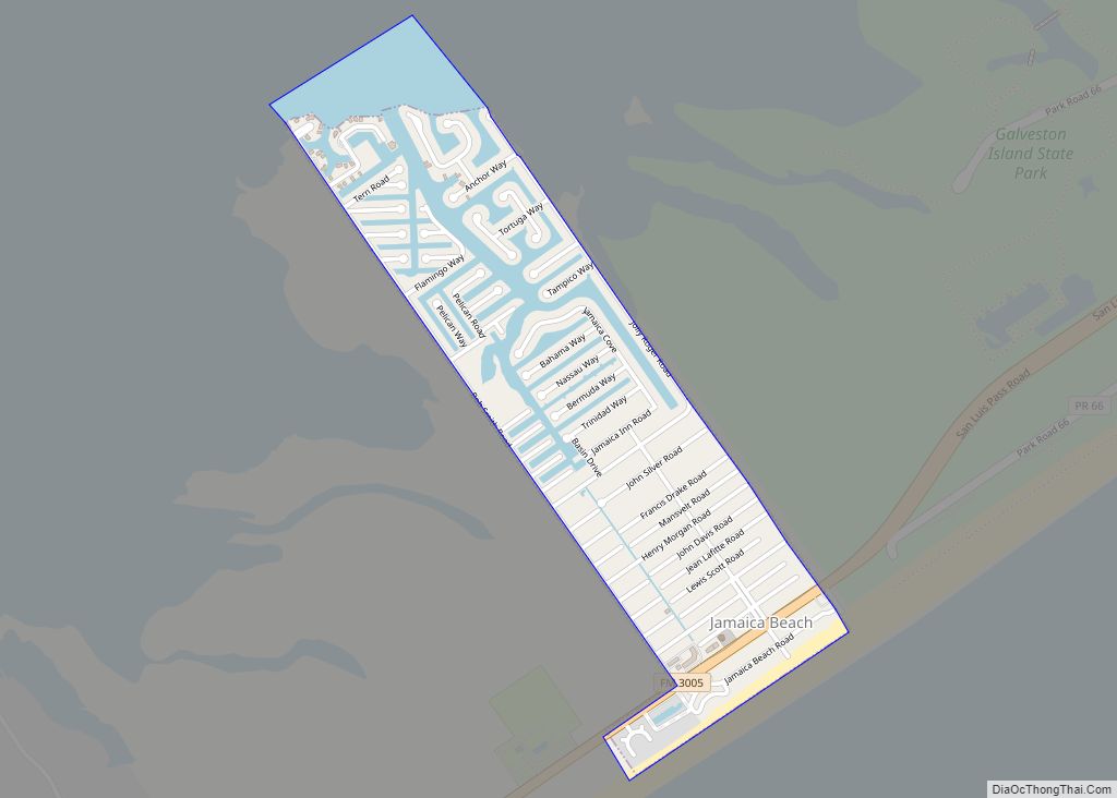
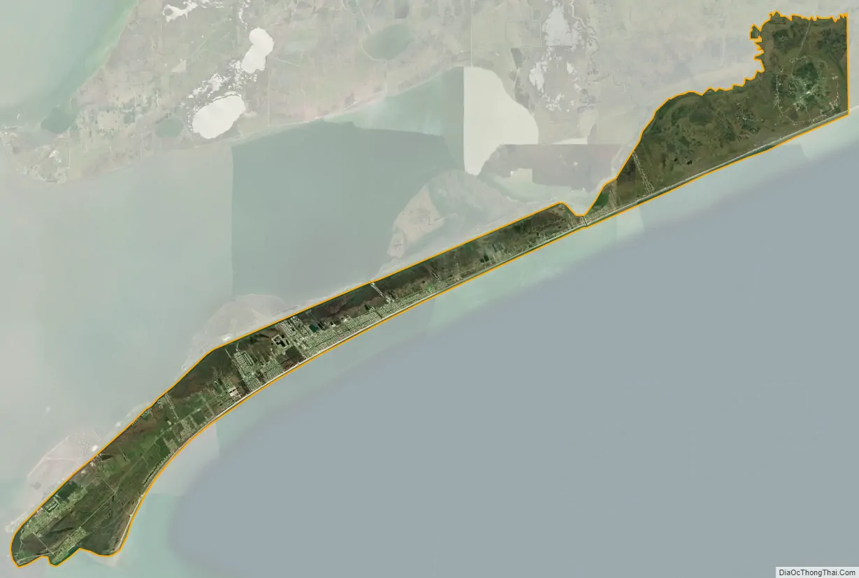
Bolivar Peninsula city Satellite Map
Geography
The Bolivar Peninsula forms a very narrow strip of land in Galveston County, Texas, separating the eastern part of Galveston Bay from the Gulf of Mexico. Its narrowest point is a quarter of a mile and is near the unincorporated community of Gilchrist, where the peninsula was divided by Rollover Pass.
According to the United States Census Bureau, the CDP has a total area of 48.1 square miles (124.7 km), of which 42.5 square miles (110.1 km) is land and 5.6 square miles (14.6 km), or 11.7%, is water.
See also
Map of Texas State and its subdivision:- Anderson
- Andrews
- Angelina
- Aransas
- Archer
- Armstrong
- Atascosa
- Austin
- Bailey
- Bandera
- Bastrop
- Baylor
- Bee
- Bell
- Bexar
- Blanco
- Borden
- Bosque
- Bowie
- Brazoria
- Brazos
- Brewster
- Briscoe
- Brooks
- Brown
- Burleson
- Burnet
- Caldwell
- Calhoun
- Callahan
- Cameron
- Camp
- Carson
- Cass
- Castro
- Chambers
- Cherokee
- Childress
- Clay
- Cochran
- Coke
- Coleman
- Collin
- Collingsworth
- Colorado
- Comal
- Comanche
- Concho
- Cooke
- Coryell
- Cottle
- Crane
- Crockett
- Crosby
- Culberson
- Dallam
- Dallas
- Dawson
- Deaf Smith
- Delta
- Denton
- Dewitt
- Dickens
- Dimmit
- Donley
- Duval
- Eastland
- Ector
- Edwards
- El Paso
- Ellis
- Erath
- Falls
- Fannin
- Fayette
- Fisher
- Floyd
- Foard
- Fort Bend
- Franklin
- Freestone
- Frio
- Gaines
- Galveston
- Garza
- Gillespie
- Glasscock
- Goliad
- Gonzales
- Gray
- Grayson
- Gregg
- Grimes
- Guadalupe
- Hale
- Hall
- Hamilton
- Hansford
- Hardeman
- Hardin
- Harris
- Harrison
- Hartley
- Haskell
- Hays
- Hemphill
- Henderson
- Hidalgo
- Hill
- Hockley
- Hood
- Hopkins
- Houston
- Howard
- Hudspeth
- Hunt
- Hutchinson
- Irion
- Jack
- Jackson
- Jasper
- Jeff Davis
- Jefferson
- Jim Hogg
- Jim Wells
- Johnson
- Jones
- Karnes
- Kaufman
- Kendall
- Kenedy
- Kent
- Kerr
- Kimble
- King
- Kinney
- Kleberg
- Knox
- La Salle
- Lamar
- Lamb
- Lampasas
- Lavaca
- Lee
- Leon
- Liberty
- Limestone
- Lipscomb
- Live Oak
- Llano
- Loving
- Lubbock
- Lynn
- Madison
- Marion
- Martin
- Mason
- Matagorda
- Maverick
- McCulloch
- McLennan
- McMullen
- Medina
- Menard
- Midland
- Milam
- Mills
- Mitchell
- Montague
- Montgomery
- Moore
- Morris
- Motley
- Nacogdoches
- Navarro
- Newton
- Nolan
- Nueces
- Ochiltree
- Oldham
- Orange
- Palo Pinto
- Panola
- Parker
- Parmer
- Pecos
- Polk
- Potter
- Presidio
- Rains
- Randall
- Reagan
- Real
- Red River
- Reeves
- Refugio
- Roberts
- Robertson
- Rockwall
- Runnels
- Rusk
- Sabine
- San Augustine
- San Jacinto
- San Patricio
- San Saba
- Schleicher
- Scurry
- Shackelford
- Shelby
- Sherman
- Smith
- Somervell
- Starr
- Stephens
- Sterling
- Stonewall
- Sutton
- Swisher
- Tarrant
- Taylor
- Terrell
- Terry
- Throckmorton
- Titus
- Tom Green
- Travis
- Trinity
- Tyler
- Upshur
- Upton
- Uvalde
- Val Verde
- Van Zandt
- Victoria
- Walker
- Waller
- Ward
- Washington
- Webb
- Wharton
- Wheeler
- Wichita
- Wilbarger
- Willacy
- Williamson
- Wilson
- Winkler
- Wise
- Wood
- Yoakum
- Young
- Zapata
- Zavala
- Alabama
- Alaska
- Arizona
- Arkansas
- California
- Colorado
- Connecticut
- Delaware
- District of Columbia
- Florida
- Georgia
- Hawaii
- Idaho
- Illinois
- Indiana
- Iowa
- Kansas
- Kentucky
- Louisiana
- Maine
- Maryland
- Massachusetts
- Michigan
- Minnesota
- Mississippi
- Missouri
- Montana
- Nebraska
- Nevada
- New Hampshire
- New Jersey
- New Mexico
- New York
- North Carolina
- North Dakota
- Ohio
- Oklahoma
- Oregon
- Pennsylvania
- Rhode Island
- South Carolina
- South Dakota
- Tennessee
- Texas
- Utah
- Vermont
- Virginia
- Washington
- West Virginia
- Wisconsin
- Wyoming