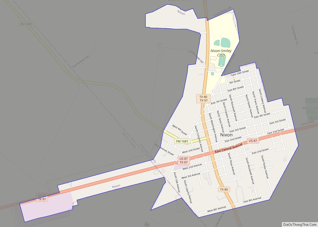
Nixon is a city, self-described as a “compact neighborhood,” at U.S. Highway 87 and the junction of Karnes, Gonzales and Wilson counties; alongside the Clear Fork Creek in the Juan J. Tejada League, in the U.S. state of Texas. Approaching 100 city blocks, the Nixon urban-area is defined by its schools at its north-end in the neighborhood of Rancho; with the southwest boundary hosting its industrial park and meat packing facilities, upon the 87-corridor towards Pandora and the county seat of Floresville.
The population was 2,341 at the 2020 census. Nixon is located primarily within Gonzales County; however, most of its major employers and assets are alongside the eastern Wilson County line. The city has a total area of 1.6 square miles (4.1 km), all land. The Wilson County portion of Nixon is part of the San Antonio Metropolitan Statistical Area.
Nixon was formed across the landholdings of the Nixon family through the end of the 19th century, beginning as a 14,000 acre plantation south of Luling and north of Belmont. In the early 20th century through the present day, Nixon continually consolidated southward at John T. Nixon’s land closer to the original settlements of Cuero, Goliad and Indianola, once acting as a rail station; this confluence once having the original name of “Rancho,” so named for its free-range cattle industry.
The city is served primarily by employers that include a publicly-traded oil refinery, a chicken slaughterhouse, and its municipal services, especially the Nixon-Smiley Consolidated Independent School District. In 2018, the aggregate income of urban Nixon was an estimated $58,035,500. In 2019 according to the Texas Department of Transportation, the aggregate annual-average-daily-traffic (AADT) of urban Nixon was rated at 22,928 vehicles.
| Name: | Nixon city |
|---|---|
| LSAD Code: | 25 |
| LSAD Description: | city (suffix) |
| State: | Texas |
| County: | Gonzales County, Wilson County |
| Founded: | 1852 (R.T. Nixon Plantation) |
| Incorporated: | 1906 (John T. Nixon Tract) |
| Elevation: | 390 ft (119 m) |
| Total Area: | 1.57 sq mi (4.06 km²) |
| Land Area: | 1.56 sq mi (4.05 km²) |
| Water Area: | 0.01 sq mi (0.01 km²) |
| Total Population: | 2,341 |
| Population Density: | 1,626.36/sq mi (627.94/km²) |
| ZIP code: | 78140 |
| Area code: | 830 |
| FIPS code: | 4851588 |
| GNISfeature ID: | 1363917 |
| Website: | nixon.texas.gov |
Online Interactive Map
Click on ![]() to view map in "full screen" mode.
to view map in "full screen" mode.
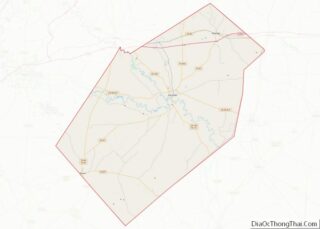
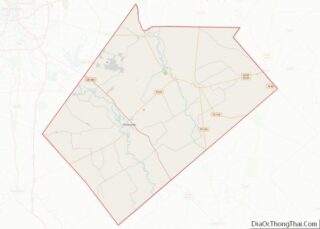
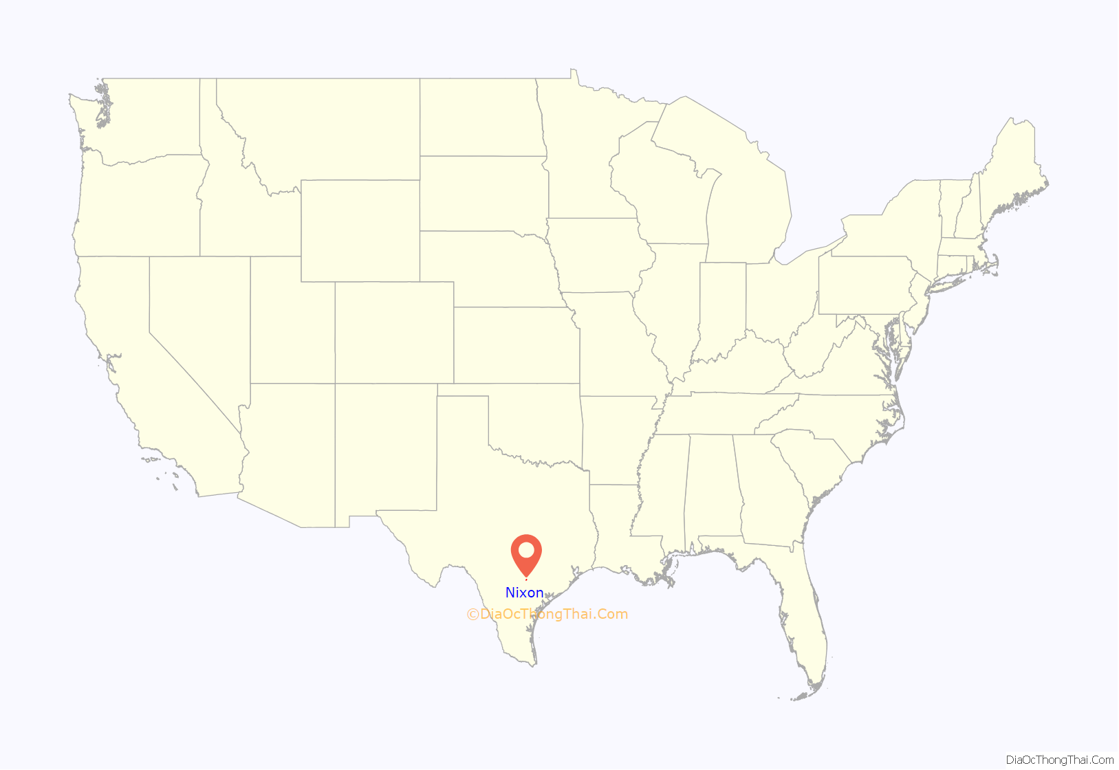
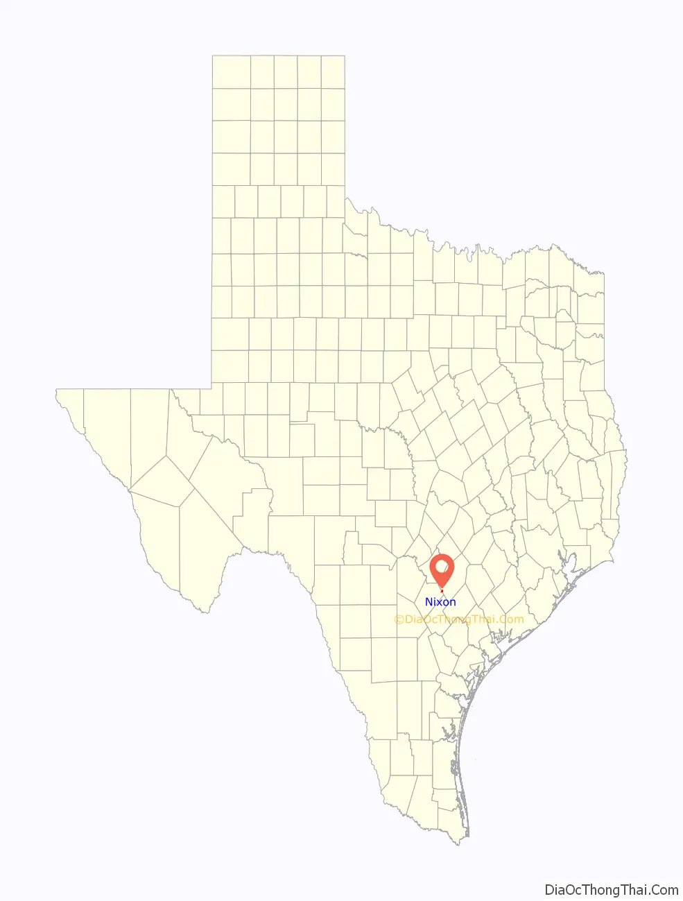
Nixon location map. Where is Nixon city?
History
The history of Nixon is defined by the dissolution and struggle of some of its major institutions.
Old Nixon
In 1852, Robert T. Nixon at the northern Gonzales—Guadalupe County line founded the original settlement of Nixon, now known as the ghost town “Old Nixon;” a former 14,000 acre plantation between Belmont-Luling.
The Old Nixon facility, despite being fenced at 14,000 acres at its precipice, began at an original capitalization of $800 for 400 acres of land; with no original “free land” grants of early Texas. During Juneteenth 1865, the plantation was not affected by the abolishment of slavery, as the plantation had no slaves. Cattle and horse-breeding were the primary occupations of this enterprise, the latter being featured in The Quarter Horse journal of July 1947; featuring the early 1900s, when the Old Nixon plantation under Dr. J.W. Nixon, hosted the first “Joe Bailey” Quarter Horse, a foremost founding sire of the breed.
In 1899, Old Nixon at Guadalupe County had a cotton gin (Nixon-family owned), two schools, a church, a blacksmith, several residences; alongside “Wagner’s Store” and “Nixon and Stephens: Dealers in Dry Goods, Notions, Fine Groceries and General Merchandise.” The latter was owned by W.H. Stephens and Sam Nixon. Robert T. Nixon’s brother John T. Nixon lived at Rancho near what is now northern Nixon in southern Gonzales County. The name of Nixon was later taken from the former town and applied to the new town formed on John T. Nixon’s land.
The only remaining establishment of the original Old Nixon settlement is its cemetery.
While Old Nixon was being founded, the settlement of Rancho grew at the northern boundary of present-Nixon and the country store of Paul Murray, on land he purchased in 1849. His store was located at the intersection of roads that led to the important settlements of San Antonio, Gonzales, Seguin, Cuero, Goliad and Indianola. Murray had come to Texas from Mississippi and was soon followed by many of his Mississippi neighbors. They came in search of farm land, but soon abandoned the plow to adopt the cowboy culture of the area, as unbranded range cattle were everywhere and free for the taking.
The name “Rancho” was the first name given to the developing Nixon settlement as a ranching culture developed. Some of the earliest open range branding codes in Texas originated here in 1866, as local stockmen were gathering cattle herds to be driven to northern markets by Rancho cowboys. These codes facilitated the system of marking and tracking the cattle that mingled together in open, unfenced ranges. A post office was officially established in 1855, and Rancho grew to have several businesses, as well as a school and two churches.
Rancho began a rapid decline in population when the Galveston, Harrisburg and San Antonio Railroad bypassed the town in 1906, and many residents relocated to the new railroad town of Nixon, two miles to the south. The post office closed in 1911, and by that time, many of Rancho’s buildings had been moved to Nixon and most of Rancho’s residents had relocated to the new town. Although virtually no visible evidence of the town of Rancho remains, the town’s short existence stands as a reminder of the hundreds of similar towns that fell prey to the railroads that crossed Texas during the late 19th century.
Near the Wilson County—portion of Nixon, the town of Union or “Union Valley” had its postal services moved to Nixon in 1915. Settled before the American Civil War, the town had a population as high as 300 and several stores before its general consolidation into the Nixon community alongside FM 1681.
In 1947, the Union area had a nominal population of 50, with 22 reported in 1990 through 2000.
Urban Nixon
Nixon as an urban development began in 1869, at the site of its First Baptist Church within its 100-block grid on Texas Avenue, near Wilson County. The San Antonio Baptist Association established a local mission here under Reverend T. Christmas and Reverend J.F. Hines.
The congregation had established a sanctuary one-mile north in Rancho, and consolidated it into the Nixon congregation upon the city’s incorporation in 1907. In 1921, they began to partner with the congregation in Leakey, Texas, west of San Antonio.
The Nixon First Baptist Church is considered an original cultural founder of the community.
In the early 20th century, Nixon had a local newspaper titled Nixon News. It was forced to cease publication in September 1921. The editor cited reasons ranging from a lack of advertisement in the paper, lack of support from local businesses and apathy from the general community. The Daily Advocate newspaper of Victoria, Texas, during this period, suggested that the downscaling of another significant Texan paper was a related trend.
The trade-name of the paper returned as early as 1980 through 1986, serving as an executive over three annual city festivals; celebrating Nixon’s overall production of a broad-range of poultry products and byproducts, purportedly the highest in the State of Texas at that time. At present Nixon News is, again, no longer published but was considered award-winning in “Community Service” by the Texas Press Association in 1980.
Through 2013 until 2017, the trade-named resumed its most recent operation as an online newspaper titled “The Nixon News” with publications on local politics. This third-iteration of the publication is no longer published as well.
Since approximately 2015, the Nixon intersection of U.S. Highway 87 and Texas State Highway 80 has been marked by the Texas Department of Transportation having to hire and replace multiple contractors, after continual delay to install traffic signals over three-and-a-half years; an installation that would normally be a “routine upgrade.” The Nixon City Manager hypothesized the delays began with a first contractor “not working in a timely manner.” After a first contractor, time was consumed by an initial six-month delay, another set of construction bids and years of replacement of prior work.
In late March 2020, the first confirmed case of COVID-19 in Gonzales County was discovered in Nixon.
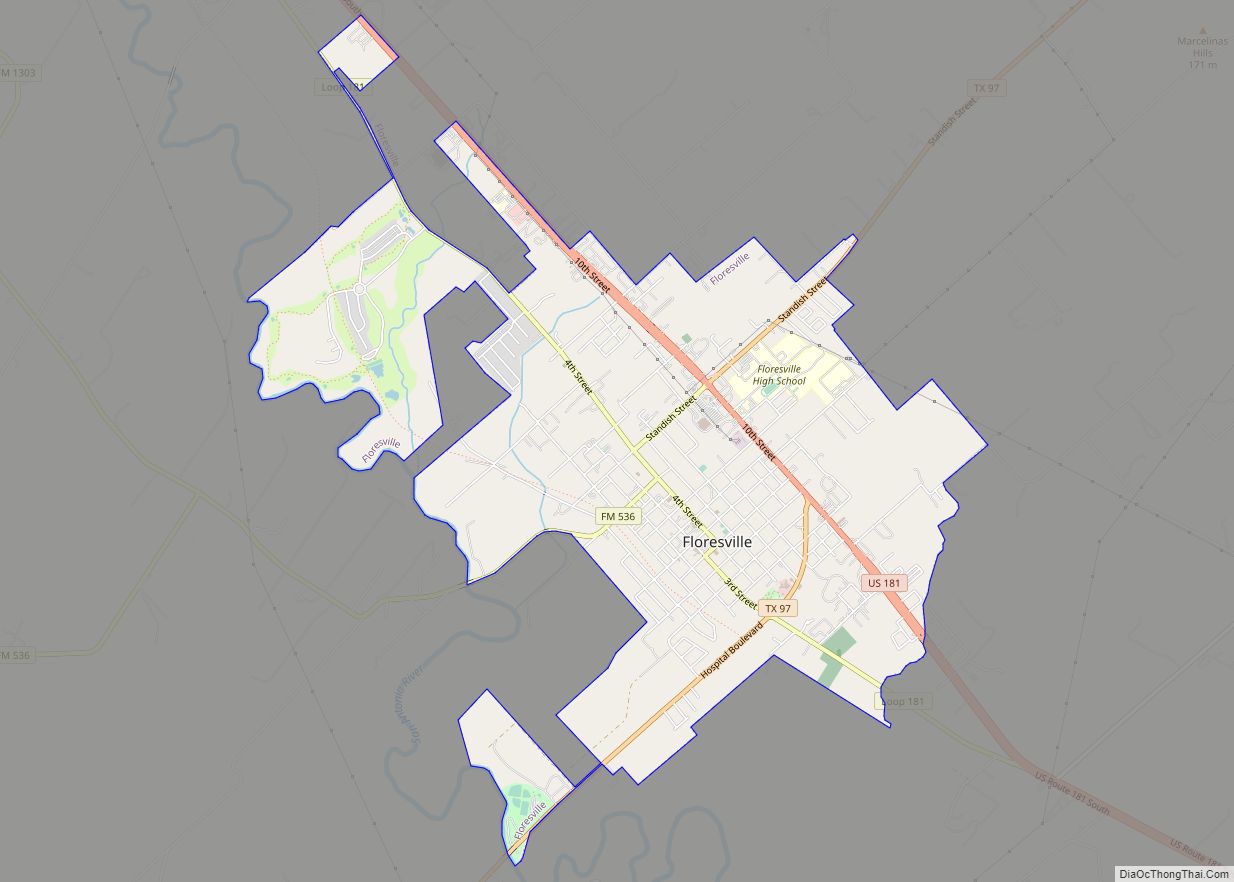
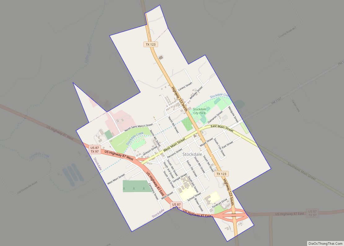
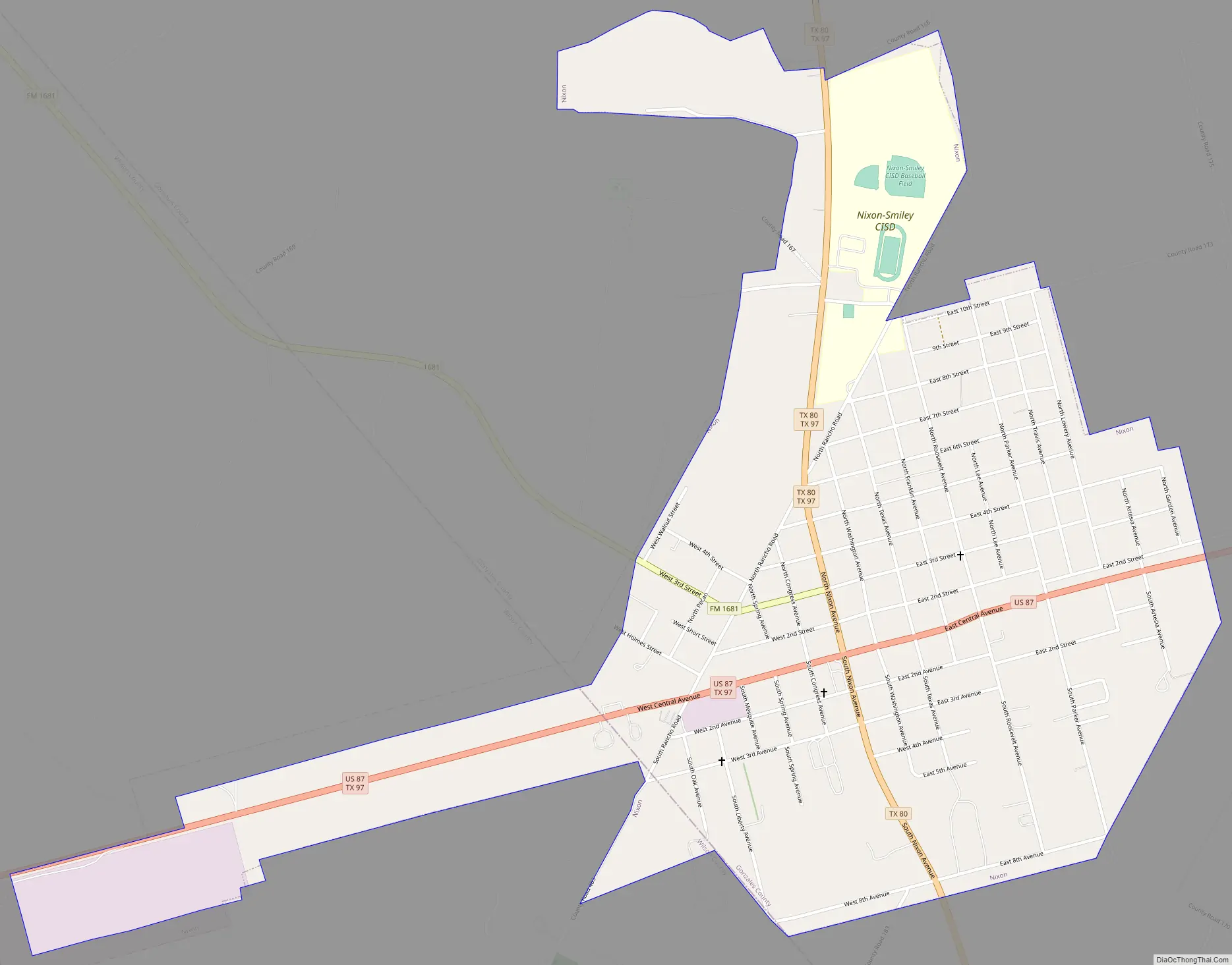
Nixon Road Map
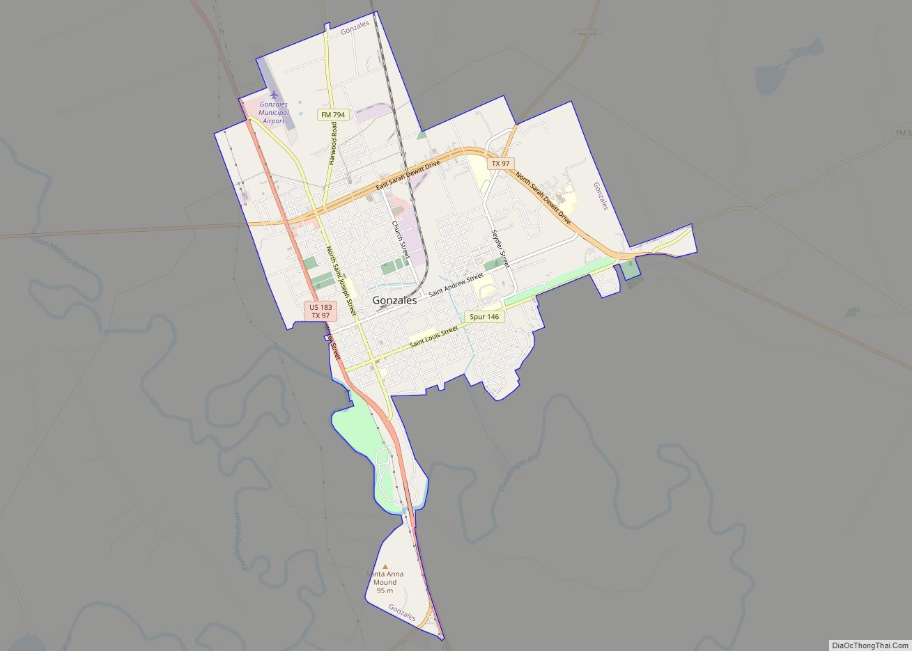
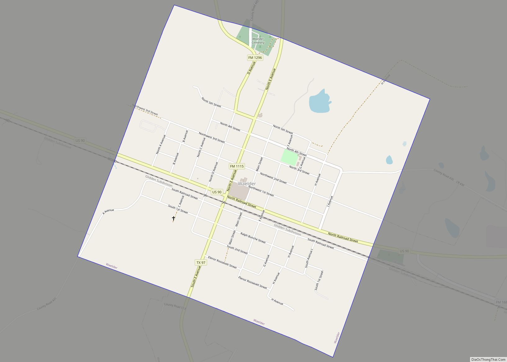
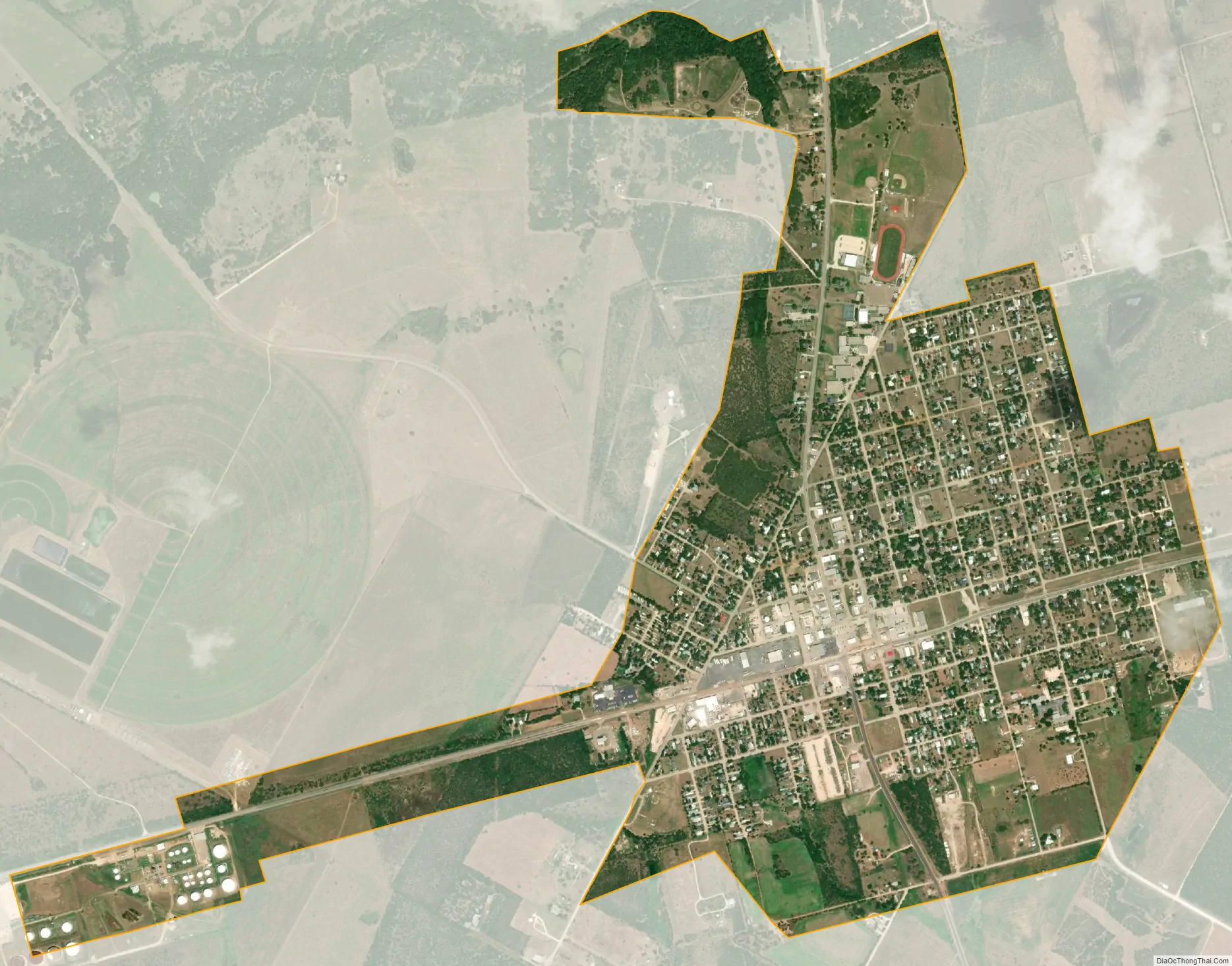
Nixon city Satellite Map
See also
Map of Texas State and its subdivision:- Anderson
- Andrews
- Angelina
- Aransas
- Archer
- Armstrong
- Atascosa
- Austin
- Bailey
- Bandera
- Bastrop
- Baylor
- Bee
- Bell
- Bexar
- Blanco
- Borden
- Bosque
- Bowie
- Brazoria
- Brazos
- Brewster
- Briscoe
- Brooks
- Brown
- Burleson
- Burnet
- Caldwell
- Calhoun
- Callahan
- Cameron
- Camp
- Carson
- Cass
- Castro
- Chambers
- Cherokee
- Childress
- Clay
- Cochran
- Coke
- Coleman
- Collin
- Collingsworth
- Colorado
- Comal
- Comanche
- Concho
- Cooke
- Coryell
- Cottle
- Crane
- Crockett
- Crosby
- Culberson
- Dallam
- Dallas
- Dawson
- Deaf Smith
- Delta
- Denton
- Dewitt
- Dickens
- Dimmit
- Donley
- Duval
- Eastland
- Ector
- Edwards
- El Paso
- Ellis
- Erath
- Falls
- Fannin
- Fayette
- Fisher
- Floyd
- Foard
- Fort Bend
- Franklin
- Freestone
- Frio
- Gaines
- Galveston
- Garza
- Gillespie
- Glasscock
- Goliad
- Gonzales
- Gray
- Grayson
- Gregg
- Grimes
- Guadalupe
- Hale
- Hall
- Hamilton
- Hansford
- Hardeman
- Hardin
- Harris
- Harrison
- Hartley
- Haskell
- Hays
- Hemphill
- Henderson
- Hidalgo
- Hill
- Hockley
- Hood
- Hopkins
- Houston
- Howard
- Hudspeth
- Hunt
- Hutchinson
- Irion
- Jack
- Jackson
- Jasper
- Jeff Davis
- Jefferson
- Jim Hogg
- Jim Wells
- Johnson
- Jones
- Karnes
- Kaufman
- Kendall
- Kenedy
- Kent
- Kerr
- Kimble
- King
- Kinney
- Kleberg
- Knox
- La Salle
- Lamar
- Lamb
- Lampasas
- Lavaca
- Lee
- Leon
- Liberty
- Limestone
- Lipscomb
- Live Oak
- Llano
- Loving
- Lubbock
- Lynn
- Madison
- Marion
- Martin
- Mason
- Matagorda
- Maverick
- McCulloch
- McLennan
- McMullen
- Medina
- Menard
- Midland
- Milam
- Mills
- Mitchell
- Montague
- Montgomery
- Moore
- Morris
- Motley
- Nacogdoches
- Navarro
- Newton
- Nolan
- Nueces
- Ochiltree
- Oldham
- Orange
- Palo Pinto
- Panola
- Parker
- Parmer
- Pecos
- Polk
- Potter
- Presidio
- Rains
- Randall
- Reagan
- Real
- Red River
- Reeves
- Refugio
- Roberts
- Robertson
- Rockwall
- Runnels
- Rusk
- Sabine
- San Augustine
- San Jacinto
- San Patricio
- San Saba
- Schleicher
- Scurry
- Shackelford
- Shelby
- Sherman
- Smith
- Somervell
- Starr
- Stephens
- Sterling
- Stonewall
- Sutton
- Swisher
- Tarrant
- Taylor
- Terrell
- Terry
- Throckmorton
- Titus
- Tom Green
- Travis
- Trinity
- Tyler
- Upshur
- Upton
- Uvalde
- Val Verde
- Van Zandt
- Victoria
- Walker
- Waller
- Ward
- Washington
- Webb
- Wharton
- Wheeler
- Wichita
- Wilbarger
- Willacy
- Williamson
- Wilson
- Winkler
- Wise
- Wood
- Yoakum
- Young
- Zapata
- Zavala
- Alabama
- Alaska
- Arizona
- Arkansas
- California
- Colorado
- Connecticut
- Delaware
- District of Columbia
- Florida
- Georgia
- Hawaii
- Idaho
- Illinois
- Indiana
- Iowa
- Kansas
- Kentucky
- Louisiana
- Maine
- Maryland
- Massachusetts
- Michigan
- Minnesota
- Mississippi
- Missouri
- Montana
- Nebraska
- Nevada
- New Hampshire
- New Jersey
- New Mexico
- New York
- North Carolina
- North Dakota
- Ohio
- Oklahoma
- Oregon
- Pennsylvania
- Rhode Island
- South Carolina
- South Dakota
- Tennessee
- Texas
- Utah
- Vermont
- Virginia
- Washington
- West Virginia
- Wisconsin
- Wyoming