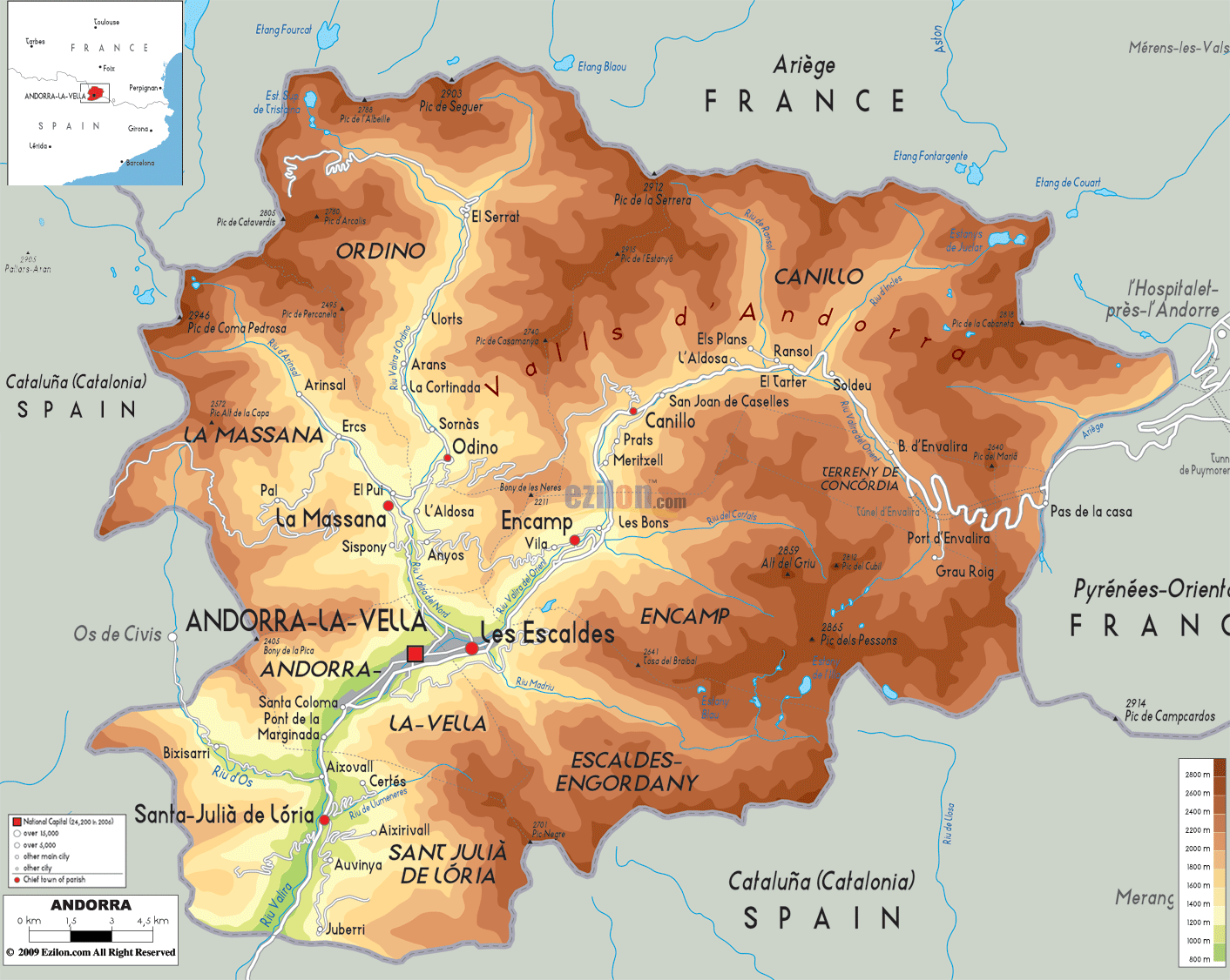
Andorra is a tiny landlcoked nation occupying an area of 467.63 km2(180.55 sq mi) in southwestern Europe.
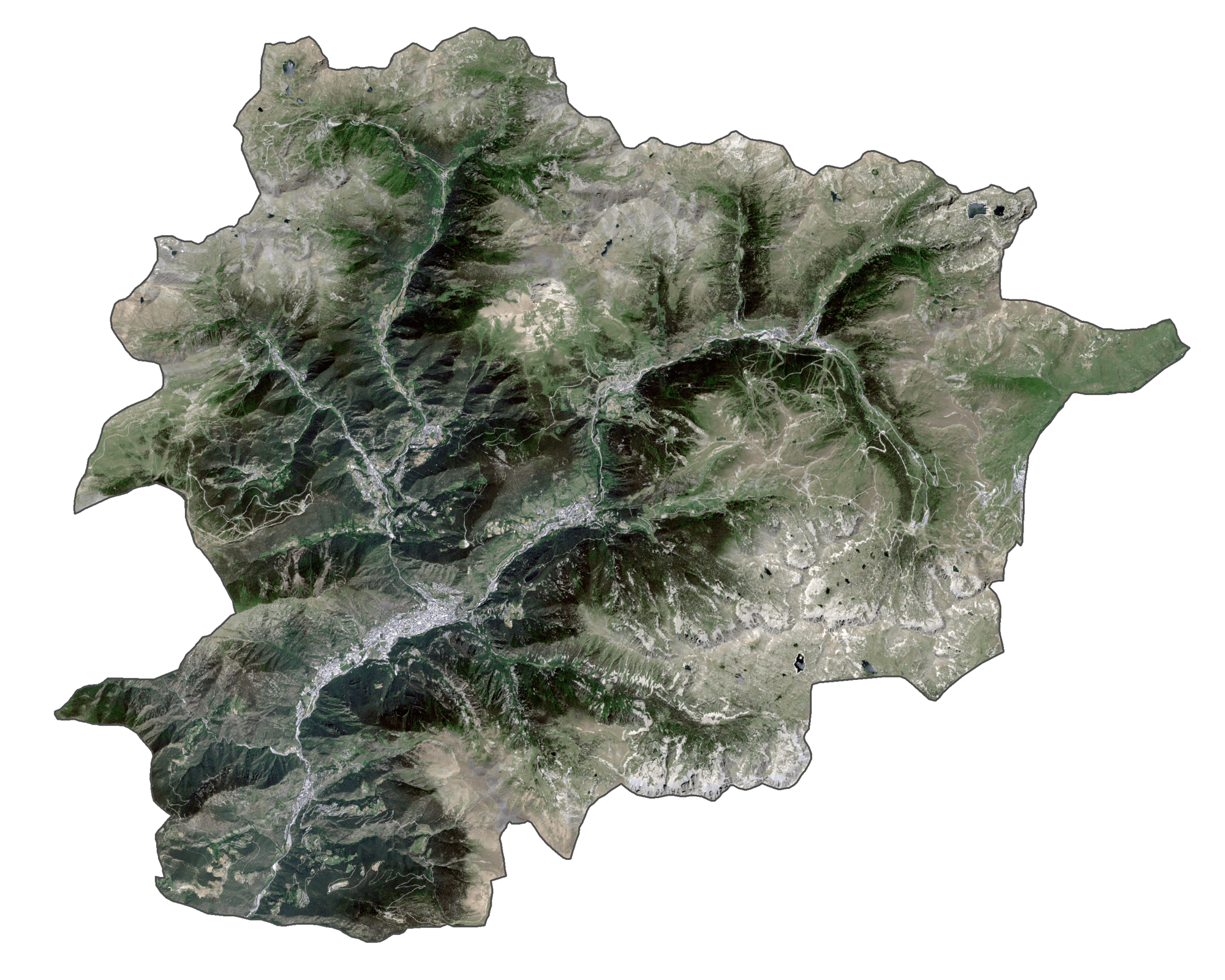
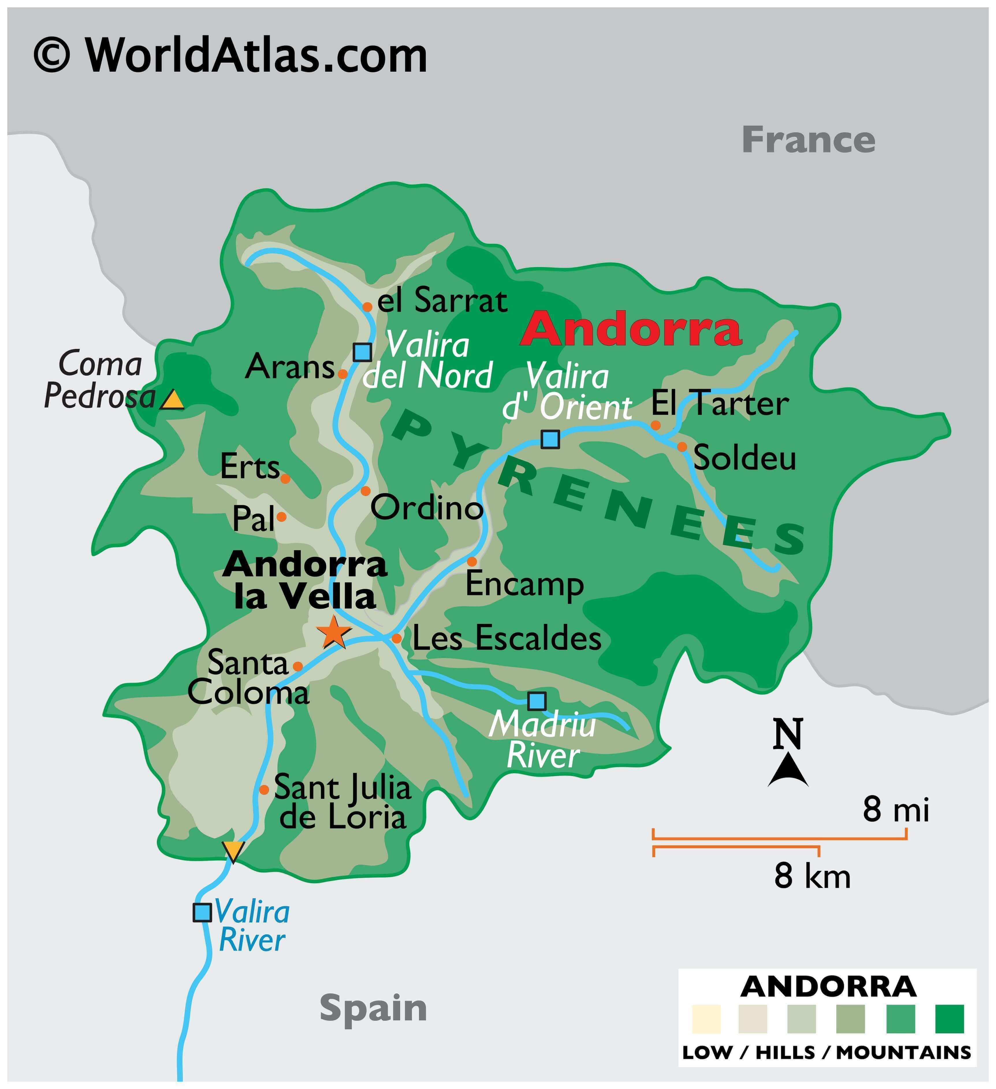
As observed on the physical map of Andorra, the is predominantly covered by rugged mountains of the Pyrenees. The highest elevation in the country is Coma Pedrosa at 2,942 m (9,652 ft). Also seen on the map above are three narrow river valleys that join to form the Gran Valira River that leaves Andorra and enters Spain.
The lowest point of Andorra is 840 m or 2,756 ft at the Gran Valira River. The highest and lowest points have been marked on the map by upright and inverted yellow triangles respectively.
| Flag: |  |
|---|---|
| Legal Name: | Principality of Andorra |
| Capital Value: | Andorra la Vella |
| Official languages: | Catalan |
| Demonym(s): | Andorran |
| Government: | Unitary parliamentary constitutional elective diarchy |
| Legislature: | General Council |
| Total Area: | 468 km² |
| Land Area: | 468 km² |
| Population: | 77,142 |
| Density: | 179.8/km (465.7/sq mi) (71st) |
| GDP: | $3.15 Billion |
| GDP Per Capita: | $40,886.39 |
| Currency Value: | Euros (EUR) |
| Driving side: | right |
| Calling code: | +376 |
| Internet TLD: | .ad |
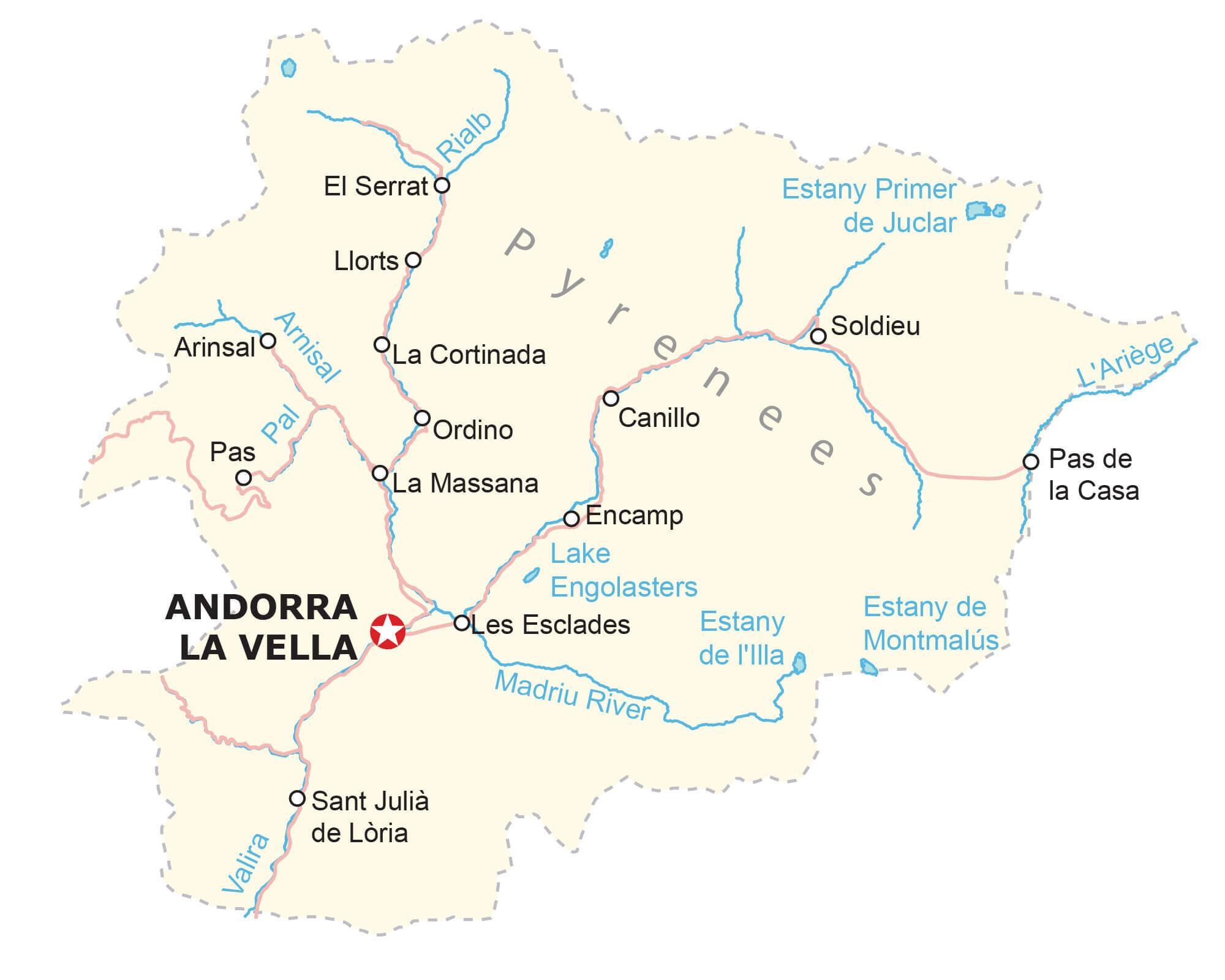
Explore the picturesque country of Andorra with this detailed map. Discover the towns, villages, hamlets, lakes, rivers, and highways of one of the smallest nations in the world. Marvel at the rugged terrain of the Pyrenees Mountains, with its narrow valleys created by the peaks.
Online Interactive Political Map
Click on ![]() to view map in "full screen" mode.
to view map in "full screen" mode.
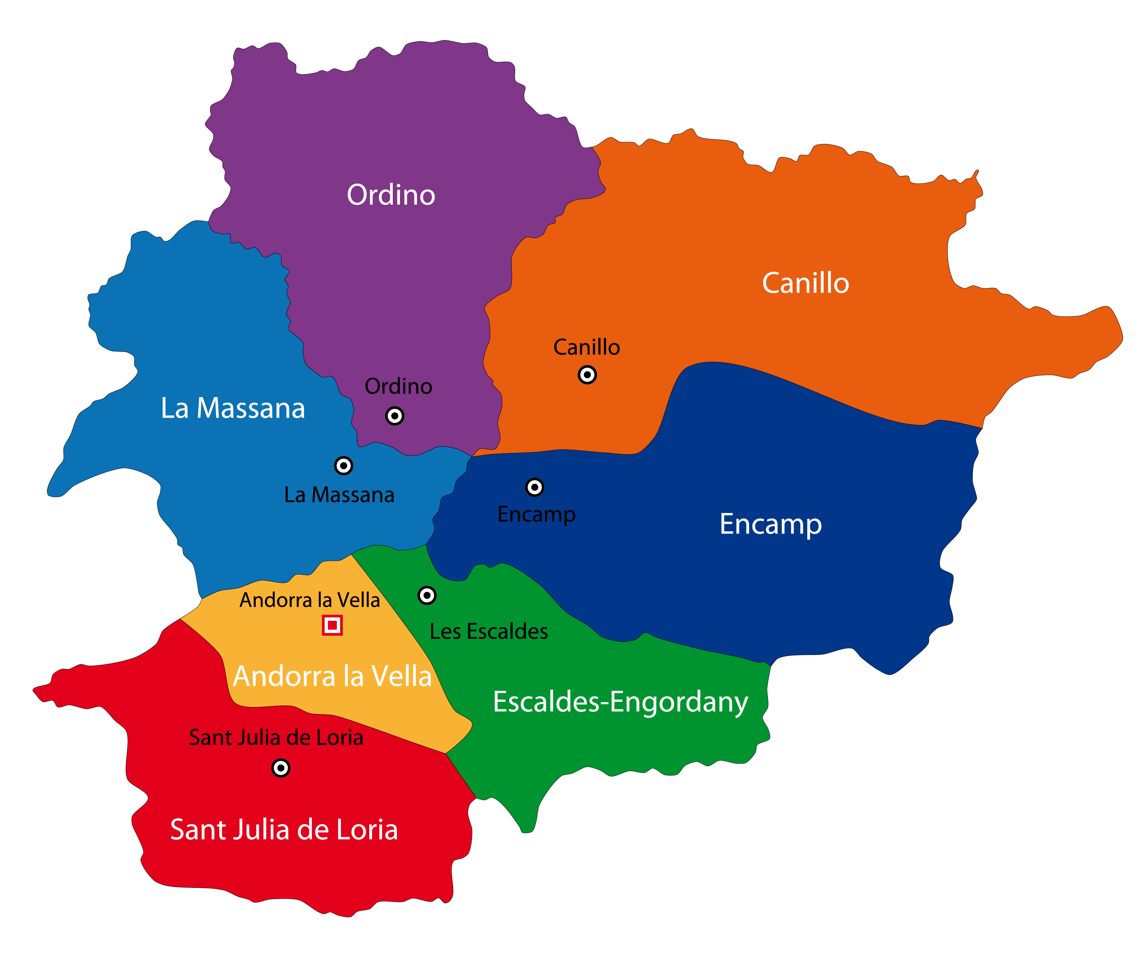
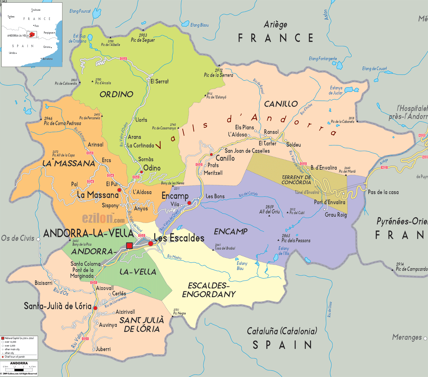
Andorra (officially, the Principality of Andorra) is administratively divided into 7 parishes (parroquies, sing. parroquia). These parishes are: Andorra la Vella, Canillo, Encamp, Escaldes-Engordany, La Massana, Ordino and Sant Julia de Loria.
With an area of 468 sq. km, the Principality of Andorra is the 6th smallest nation in Europe. By land it is the 16th smallest nation and in terms of population it is the 11th smallest nation in the world. Situated in the heart of the Pyrenees Mountains, it is the largest microstate of Europe and the highest inhabited country in the world.
Located in the south western region of the country, at the confluence of two mountain streams in the Pyrenees is Andorra la Vella – the capital and the largest city of Andorra. Situated at an elevation of 1,023 meters, it is also Europe’s highest capital city. Andorra la Vella acts as the cultural, tourism and commercial center of the country.
Location Maps
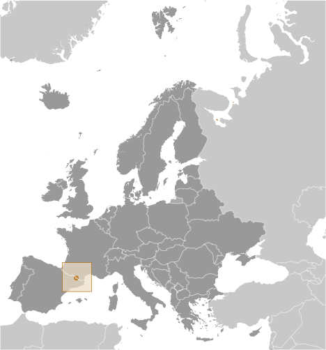
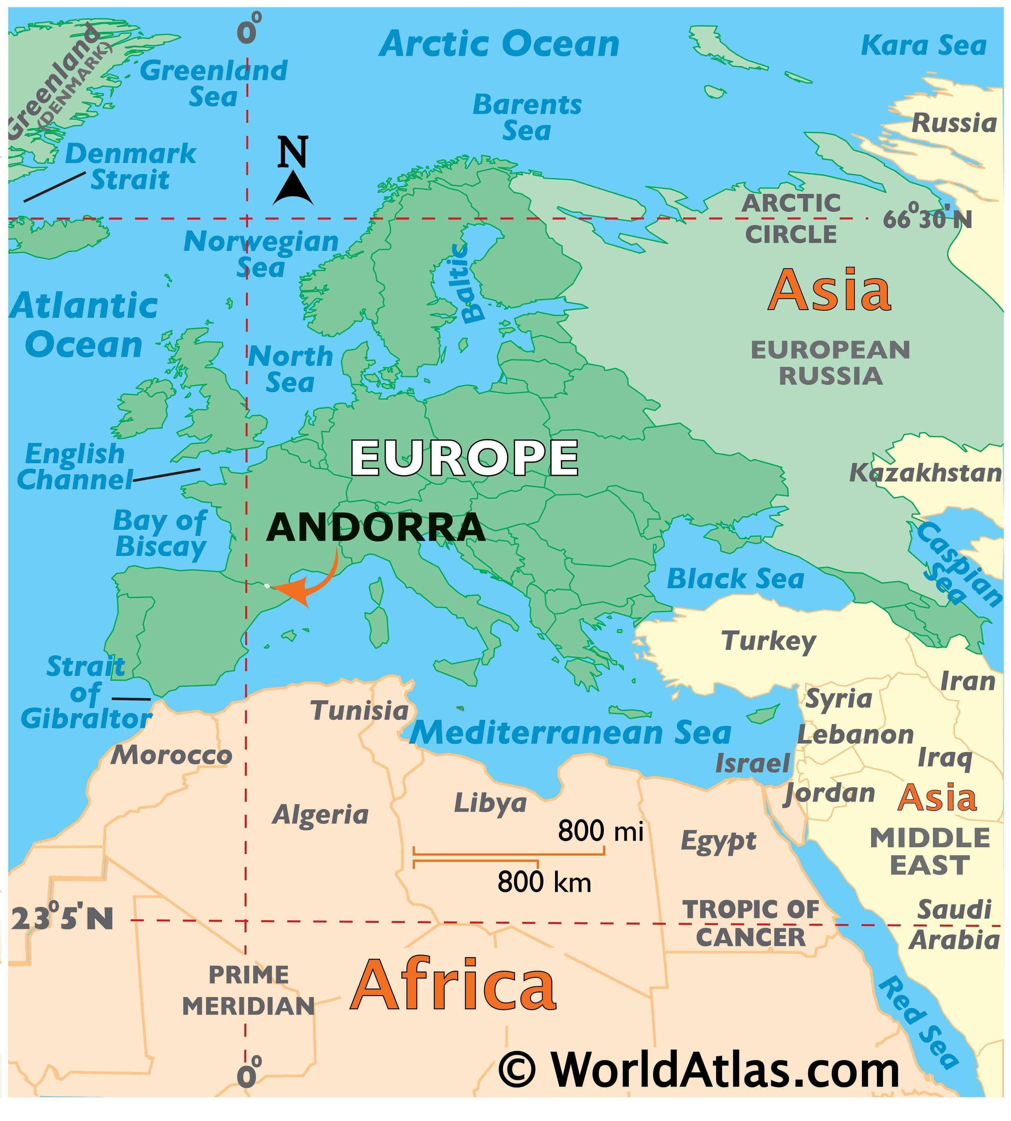
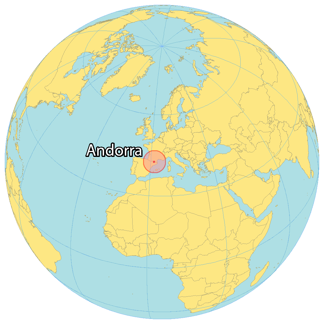
Where is Andorra?
Andorra is an incredibly small micronation located between Spain in the south and France in the north. With a perimeter of 120 kilometers (75 mi) and an area of 181 square miles (468 square kilometers), it is the sixth smallest state in Europe. It would only take you an hour to travel along the entire perimeter of Andorra – a feat that is truly remarkable.
High Definition Political Map of Andorra
Physical Map of Andorra
Andorra Satellite Map