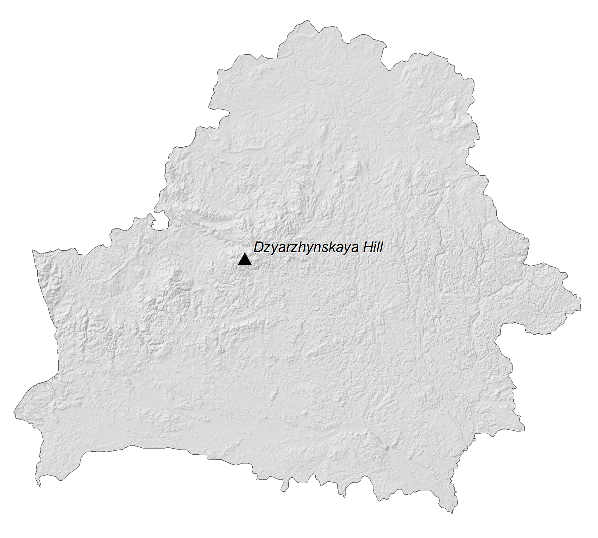
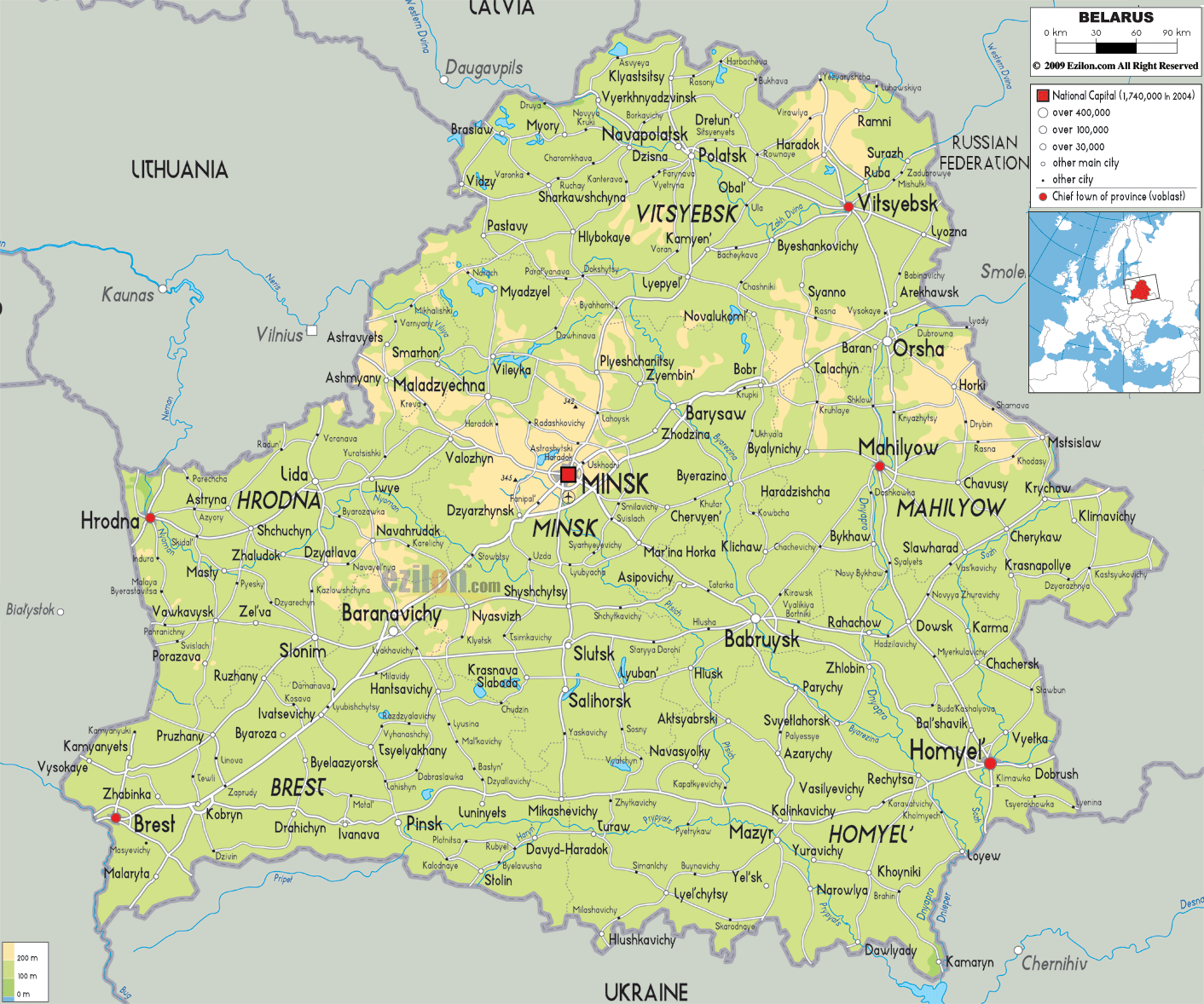
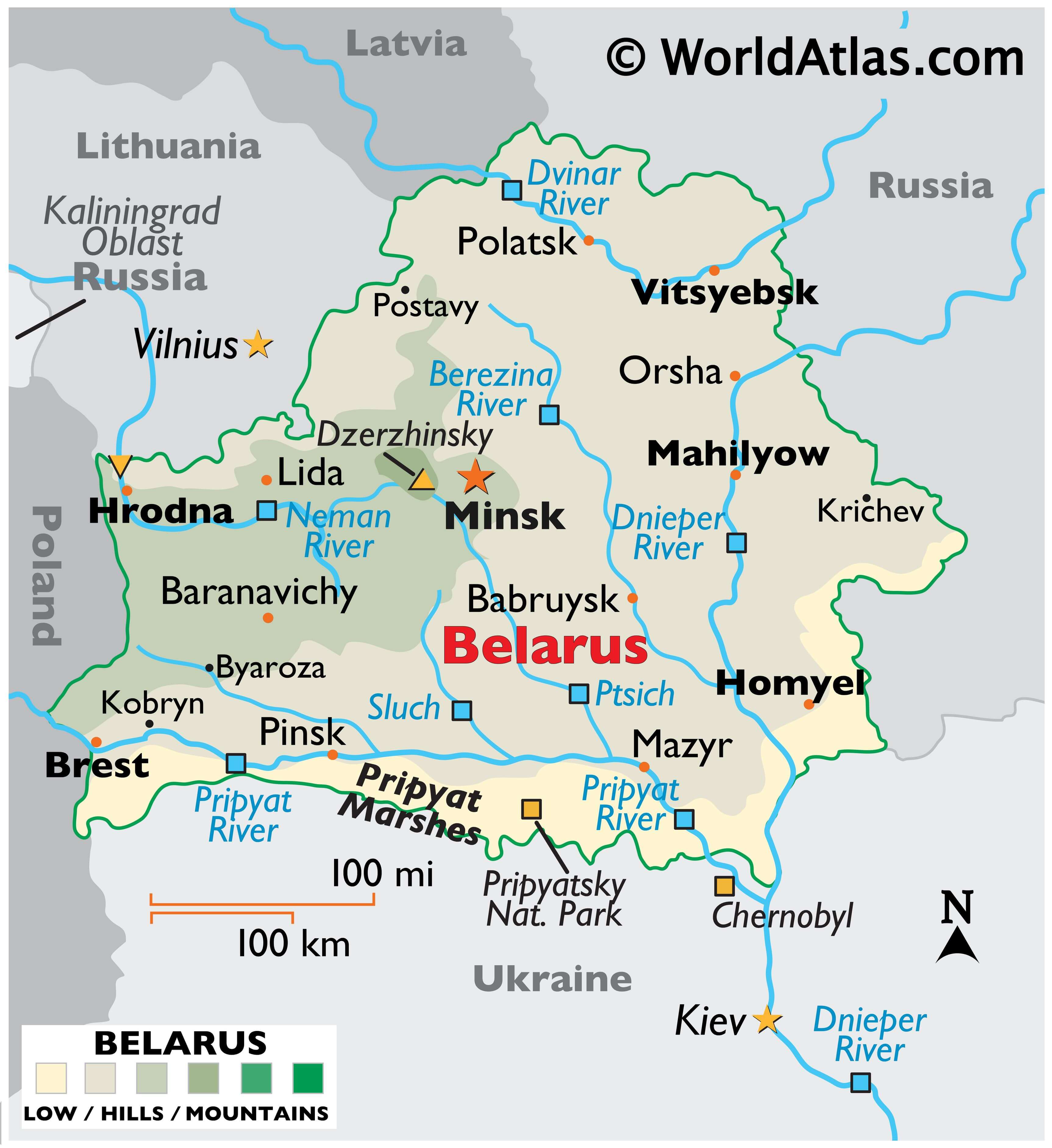
A landlocked country in Eastern Europe, Belarus occupues an area of 207,595 sq. km (80,153 sq mi). As observed on the physical map of Belarus, it is a relatively low-lying country. It can be divided into two main parts: the Poltsk Lowland (north) and the Dnieper Lowland (south).
Belarus is a heavily forested, flat, low-lying country that includes the Poltsk Lowland (north) and the Dnieper Lowland (south). A few areas of rolling hills in the west blend into the lowlands. The extensive Pripyat marshes cover the southern reaches of the country. The country’s highest point, the Dzerzhinsky Hill, stands at 1,135 ft. (346m). Its lowest point is on the Neman River at 90 metres (295 ft) And as for rivers, the Dnieper is the most significant. Others of importance include the Dvinar, Neman and Pripyat. Many streams and over 10,000 small lakes are scattered about.
| Flag: |  |
|---|---|
| Legal Name: | Republic of Belarus |
| Capital Value: | Minsk |
| Official languages: |
|
| Demonym(s): | Belarusian |
| Government: | Unitary presidential republic under an authoritarian dictatorship |
| Legislature: | National Assembly |
| Total Area: | 207,600 km² |
| Land Area: | 202,900 km² |
| Water Area: | 4,700 km² |
| Population: | 9,466,856 |
| Density: | 45.8/km (118.6/sq mi) |
| GDP: | $63.08 Billion |
| GDP Per Capita: | $6,663.30 |
| Currency Value: | Belarusian rubles (BYB/BYR) |
| Driving side: | right |
| Calling code: | +375 |
| Internet TLD: |
|
Explore the terrain of Belarus with this interactive map. Discover the cities, towns, highways, and elevation of the country, as well as its satellite imagery. You can also observe the Belarusian Ridge and highest peak, Dzyarzhynskaya Hill.
Online Interactive Political Map
Click on ![]() to view map in "full screen" mode.
to view map in "full screen" mode.
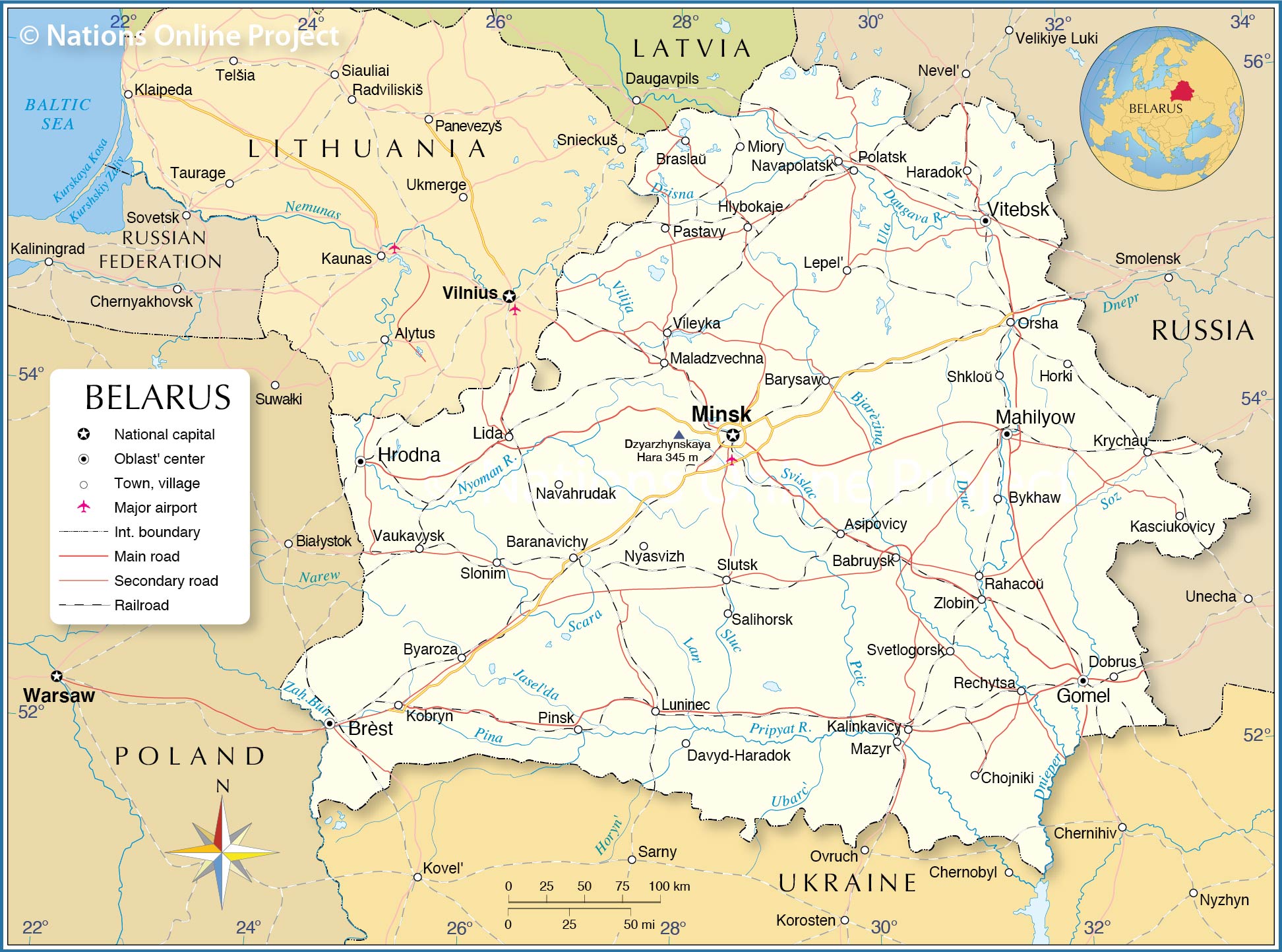
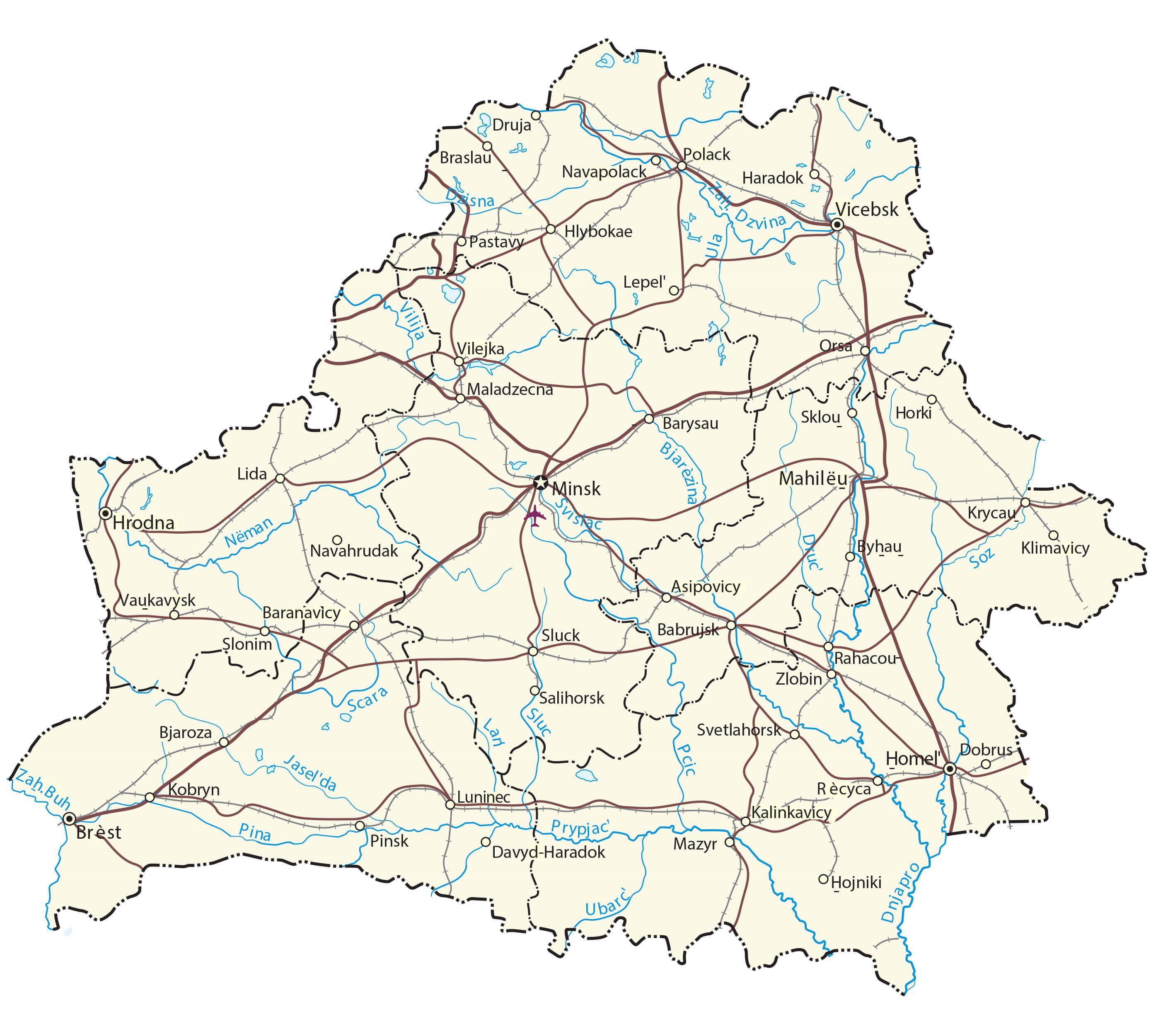
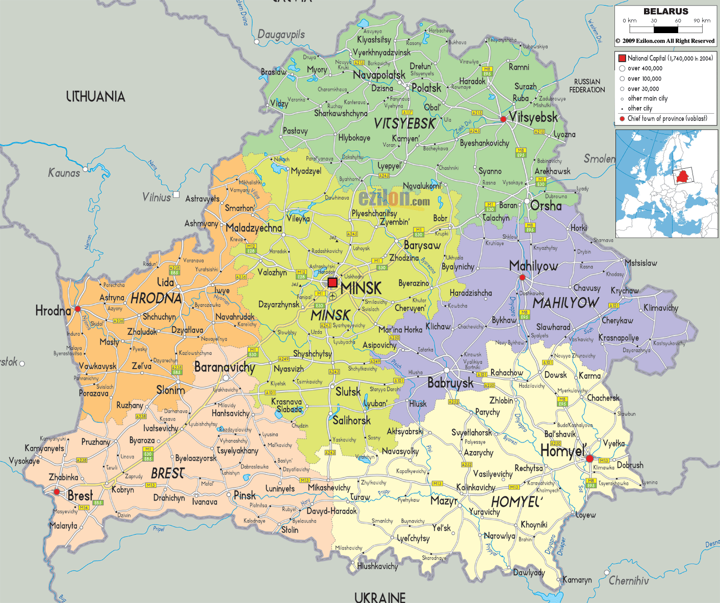
Belarus (officially, the Republic of Belarus) is divided into 6 regions (voblastsi, sing. voblasts) and 1 municipality (horad). The regions are: Brest, Gomel, Grodno, Mogilev, Minsk and Vitebsk. Horad Minsk (Minsk City) is the municipality. The regions are further subdivided into a total of 118 raions (districts). Minsk city has 9 raions and enjoys special status as the national capital.
Situated on the slopes of the Minsk hills is, Minsk – the capital, the largest and the most populous city of Belarus. It is also the major administrative, cultural, educational, industrial and economic center of the country.
Location Maps
Where is Belarus?
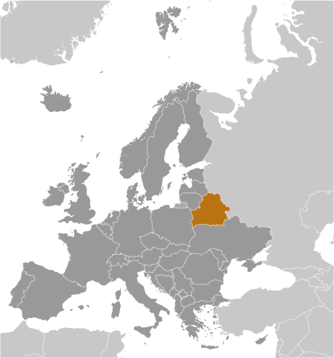
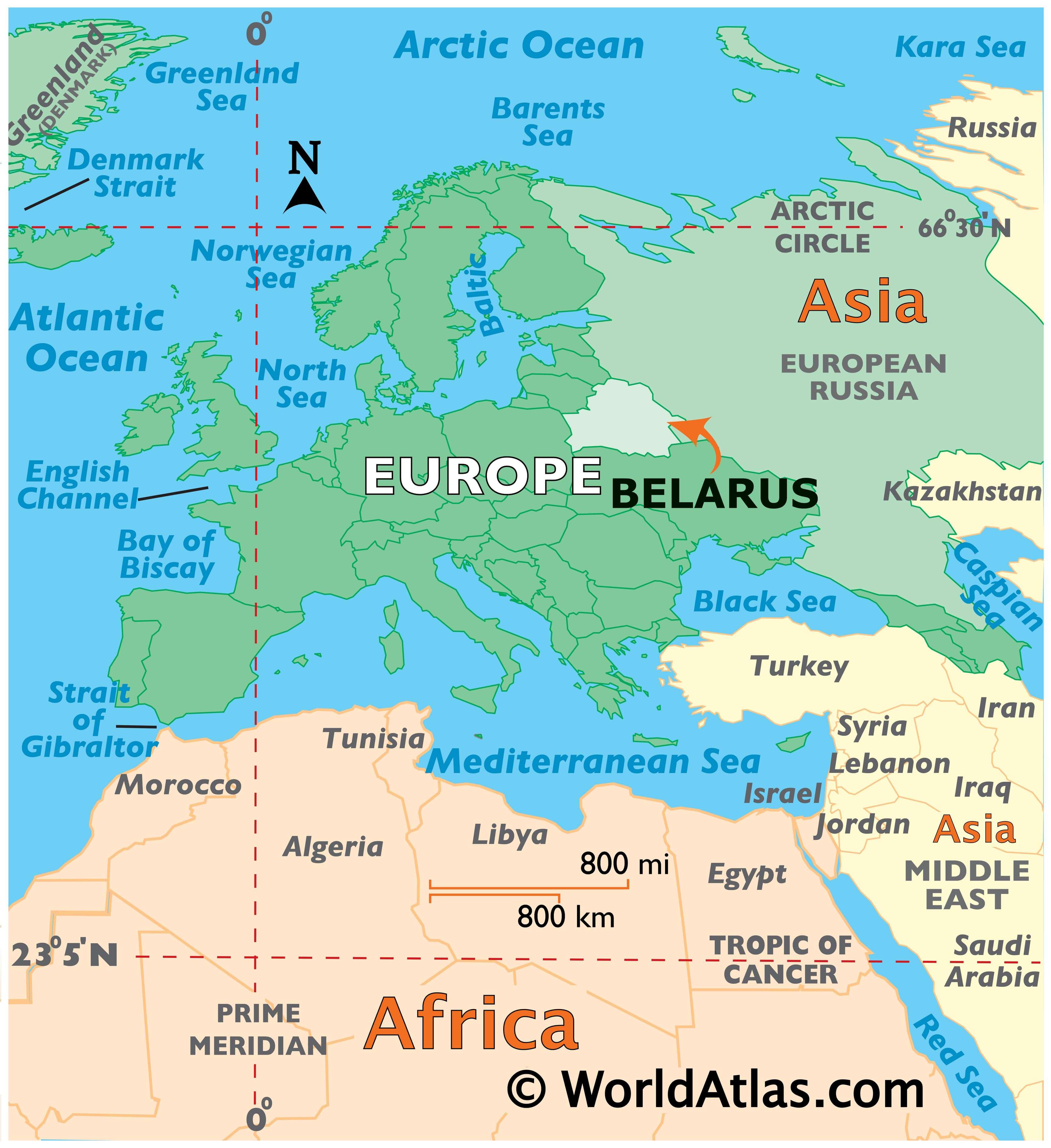
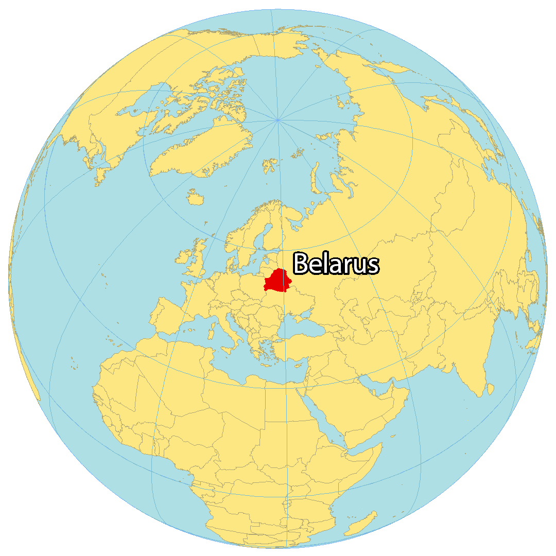
Belarus is a landlocked country located in Eastern Europe. It borders 5 other countries: Russia to the northeast, Latvia to the north, Lithuania to the northwest, Poland to the west, and Ukraine to the south. Belarus occupies an area of 207,600 square kilometers (80,200 sq mi), making it the 13th largest country in Europe. The capital city of Belarus is Minsk, located close to the geographic center of the country. Belarus is one of the least wealthy countries in Europe per capita.
High Definition Political Map of Belarus
Physical Map of Belarus
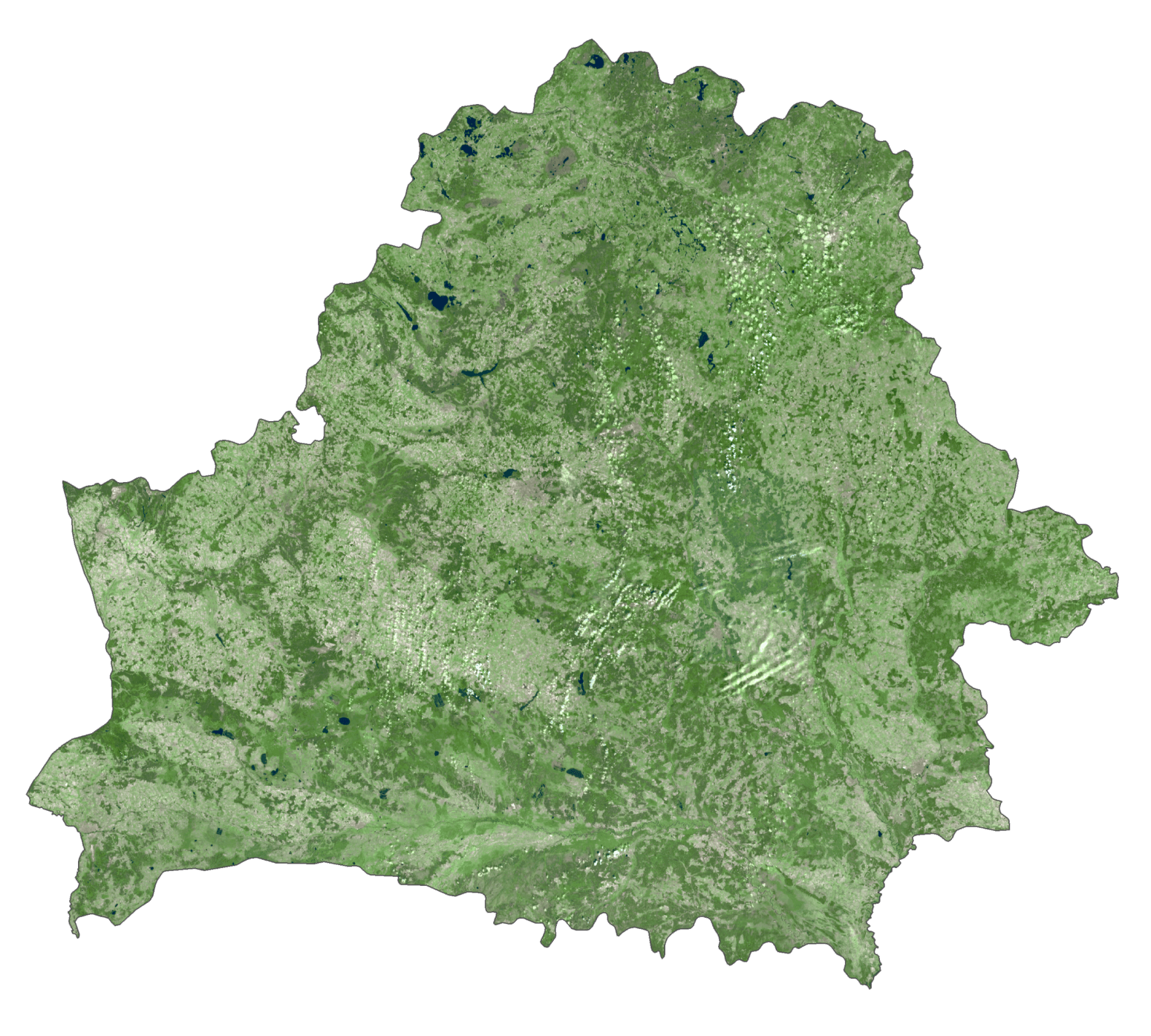
Belarus Satellite Map
Elevation Map