The southeast European country of Montenegro occupies an area of 13,812 sq. km.
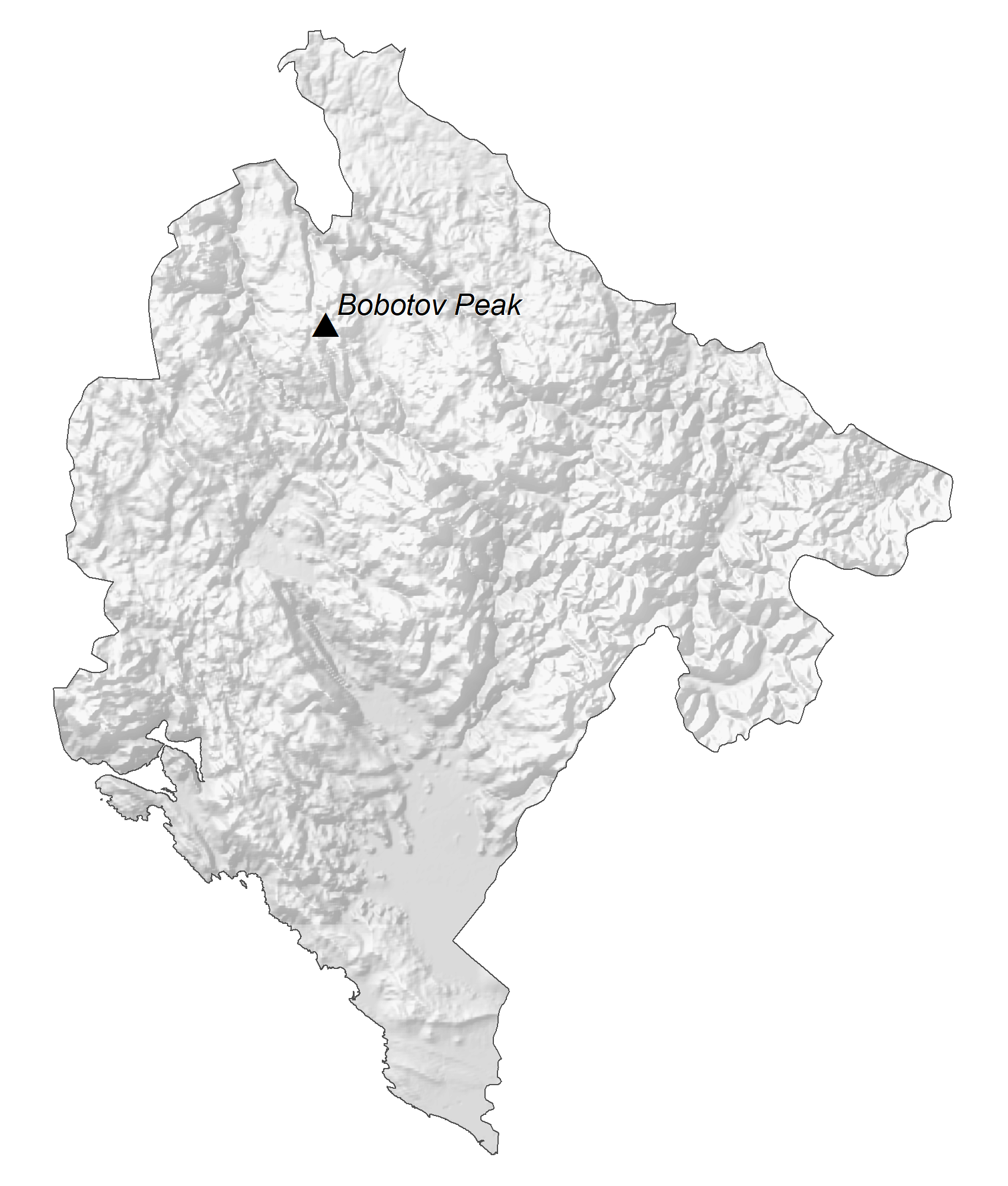
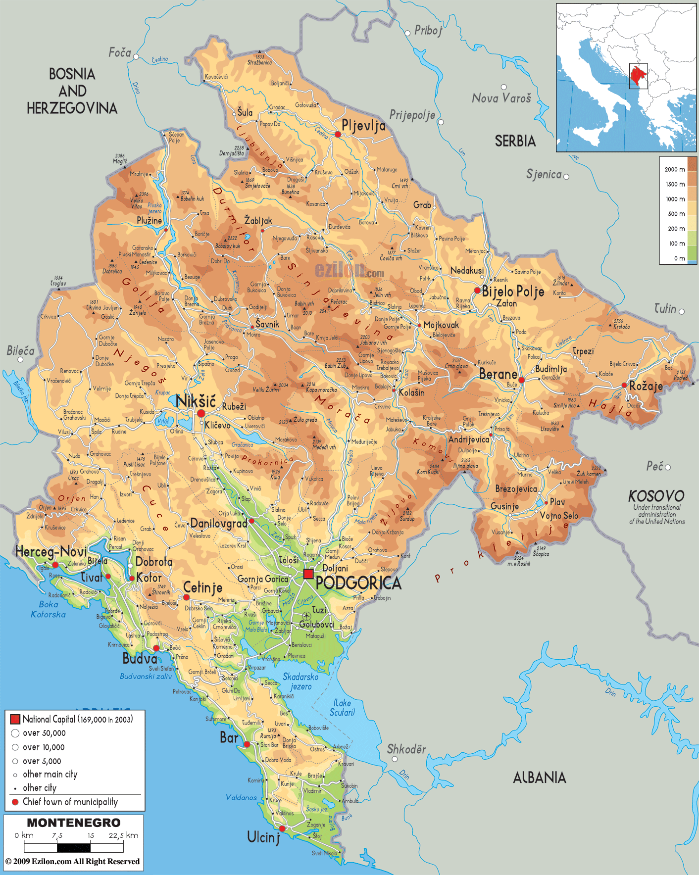
As observed on the physical map of Montenegro, the country is highly mountainous. Ranging from towering peaks along the Serbian and Albanian borders to a small coastal plain, it is home to a diverse landscape due to its position on the Balkan peninsula and the Adriatic Sea.
Consisting of some of the most rugged terrain in Europe, Montenegro’s most notable mountain ranges include the Durmitor range, Mount Orjen and Mount Lovcen.
The highest point is Bobotov Kuk, located in the Durmitor range, with an elevation of 8,274 ft (2,522 m). It has been marked on the map by a yellow triangle.
East, along the Adriatic Sea, a prominent element on the Montenegrin coast is a submerged river canyon known as the Bay of Kotor. It is about 28 km (17 mi) long. The Lovćen and Orjen mountains surround the bay to the east and west respectively.
Significant rivers of Montenegro include the Drina, Tara and Lim. As observed on the map above, Lake Skadar is located on the Montenegro-Albania border. It is Montenegro’s largest lake and is shared with Albania. It is also Southern Europe’s biggest lake and has a surface area of 370–530 km2 (140–200 sq mi). The average depth of Lake Skadar is 5.01 m (16.4 ft).
The lowest point in Montenegro is the Adriatic Sea at 0 m.
| Flag: |  |
|---|---|
| Legal Name: | Montenegro |
| Capital Value: | Podgorica; note – Cetinje retains the status of “Old Royal Capital” |
| Official languages: | Montenegrin |
| Demonym(s): | Montenegrin |
| Government: | Unitary parliamentary republic |
| Legislature: | Skupština |
| Total Area: | 13,812 km² |
| Land Area: | 13,452 km² |
| Water Area: | 360 km² |
| Population: | 622,137 |
| Density: | 45/km (116.5/sq mi) (133rd) |
| GDP: | $5.49 Billion |
| GDP Per Capita: | $8,832.04 |
| Currency Value: | Euros (EUR) |
| Driving side: | right |
| Calling code: | +382 |
| Internet TLD: | .me |
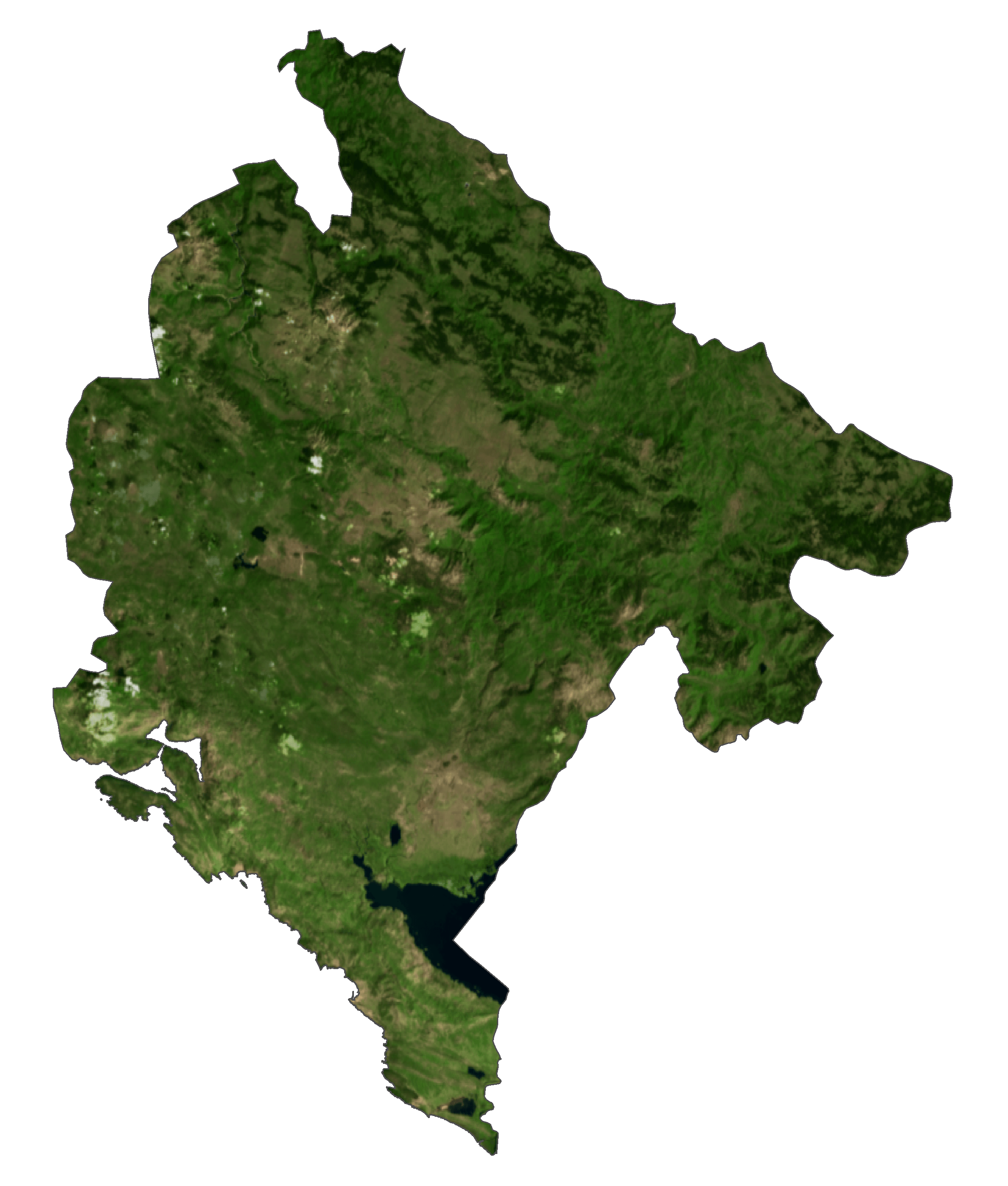
Visit Montenegro and discover its stunningly rugged terrain. With major cities, lakes, rivers, and roads, this country offers a unique experience to travelers. Satellite imagery and an elevation map display the Dinaric Alps and other breathtaking sites.
Online Interactive Political Map
Click on ![]() to view map in "full screen" mode.
to view map in "full screen" mode.
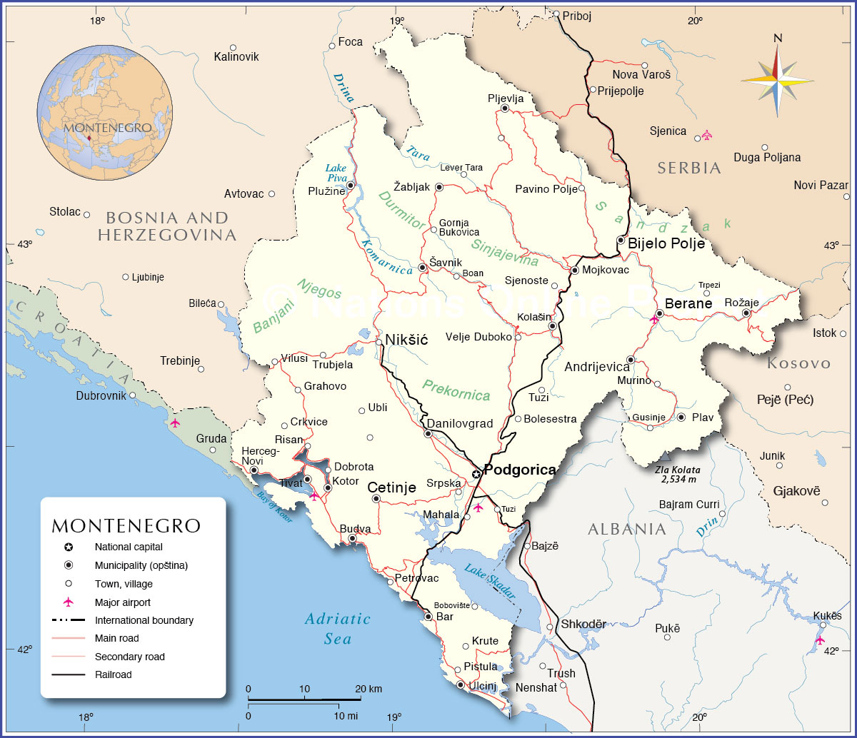
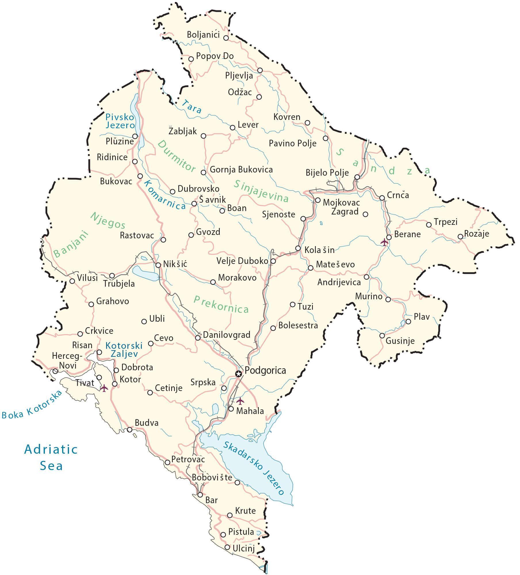
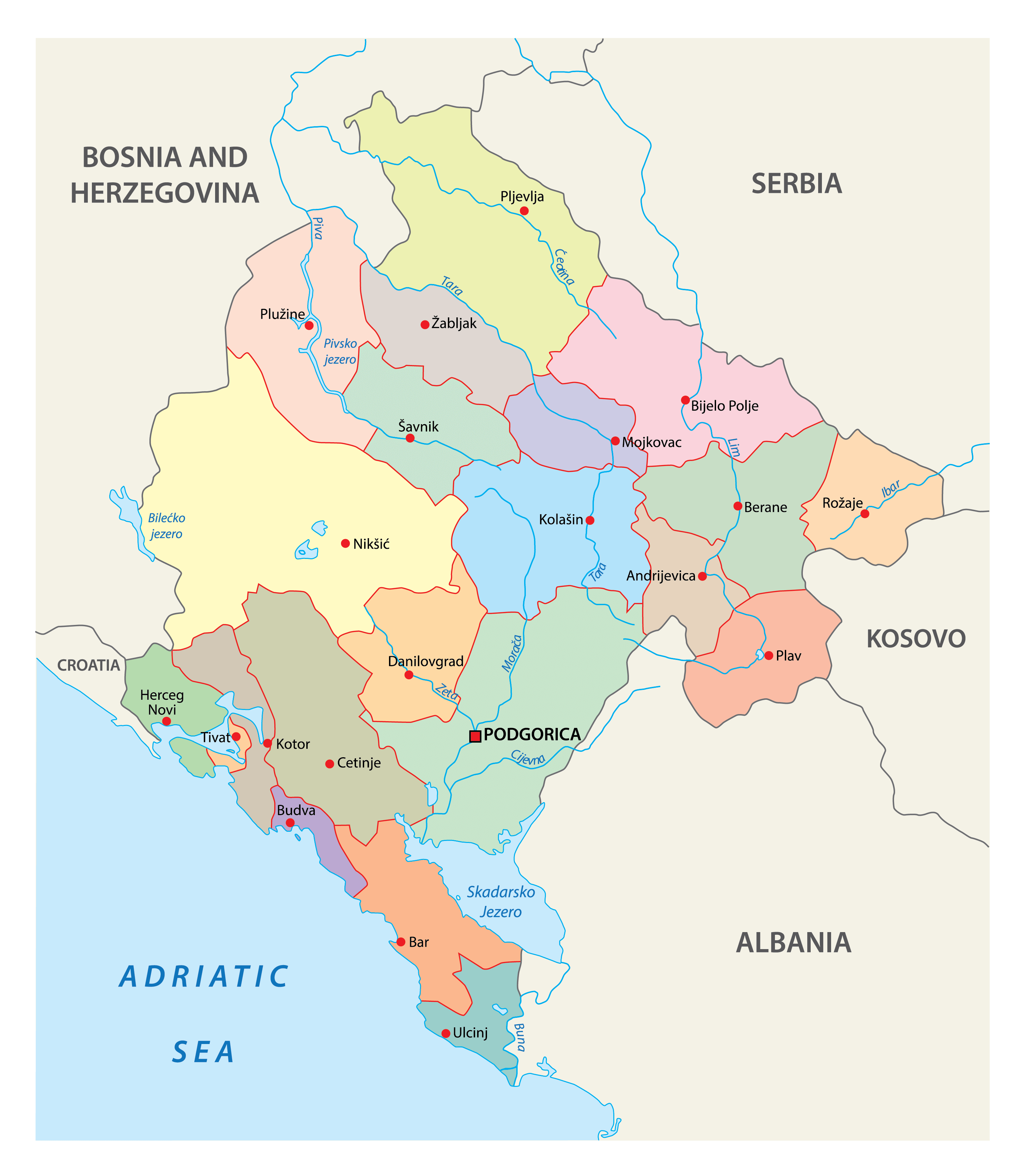
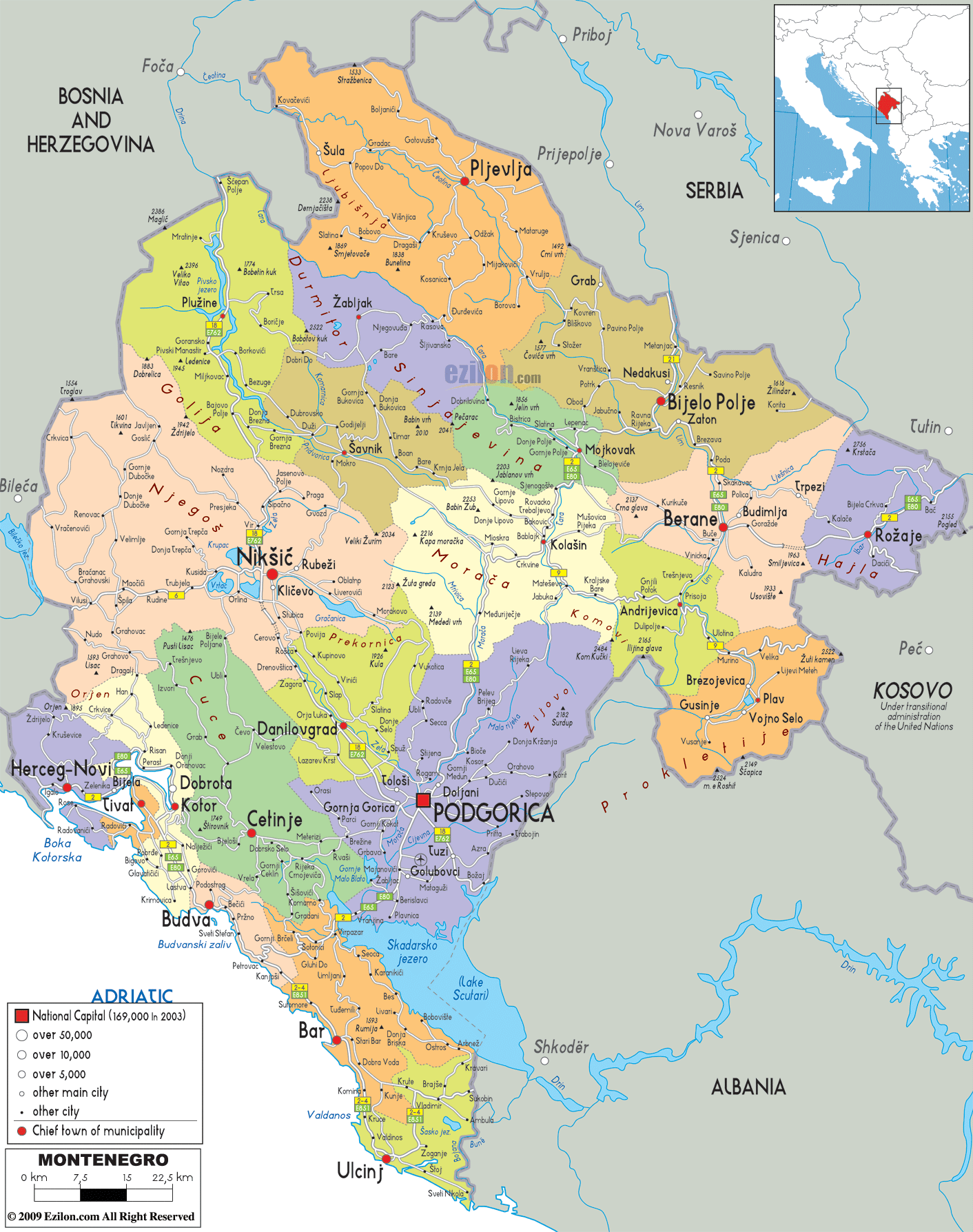
Montenegro is divided into 24 municipalities (opstine, sing. opstina). In alphabetical order, the municipalities are: Andrijevica, Bar, Berane, Bijelo Polje, Budva, Cetinje (Old Royal Capital), Danilovgrad, Gusinje, Herceg-Novi, Kolasin, Kotor, Mojkovac, Niksic, Petnjica, Plav, Pljevlja, Pluzine, Podgorica Capital City, Rozaje, Savnik, Tivat, Tuzi, Ulcinj and Zabljak. The Podgorica capital city is further divided into 1 subdivision called Golubovci City municipality.
Located in central Montenegro, Podgorica is the Capital and the largest city of Montenegro. It serves as the cultural, administrative and economic center of the country. The city of Cetinje (designated as Prijestonica) is the former Royal Capital of Montenegro.
Location Maps
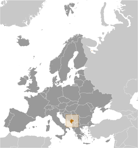
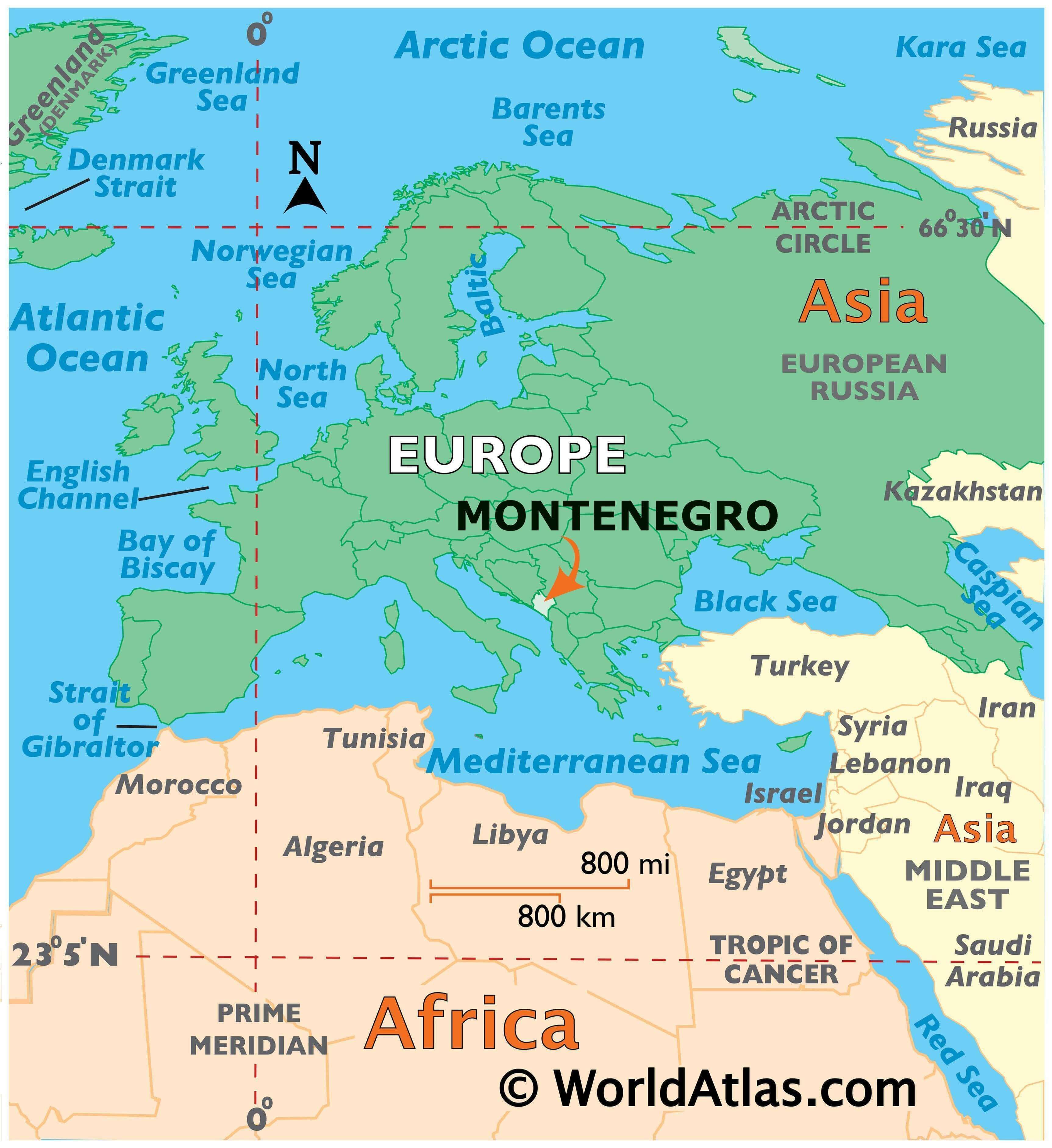
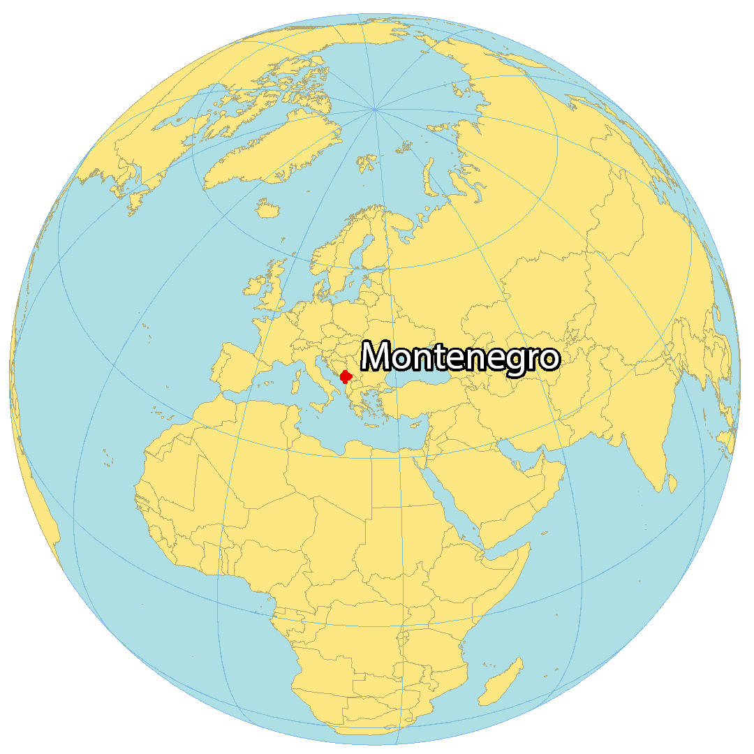
Where is Montenegro?
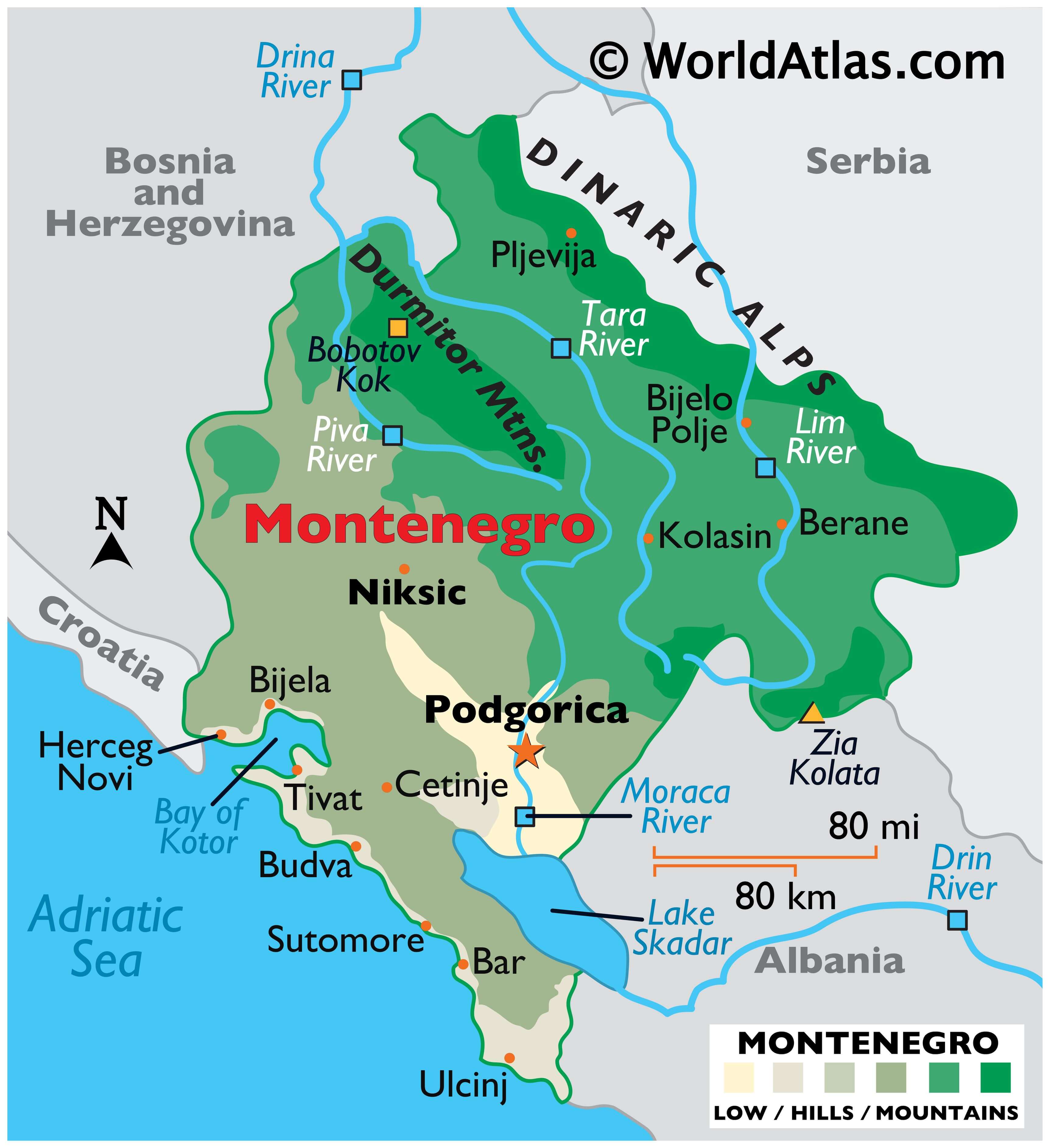
Montenegro is a southeastern European country located in the Balkans. It is bordered by Albania and Kosovo to the east, Serbia to the northeast, Bosnia and Herzegovina to the west, and Croatia to the southwest. Montenegro has a 293.5 km (182 mi) coastline along the Adriatic Sea, and is characterized by the winding bay of the Gulf of Kotor in southwestern Montenegro. The largest city and capital of Montenegro is Podgorica, and other major cities include Nikšić, Herceg Novi, and Pljevlja.
High Definition Political Map of Montenegro
Physical Map of Montenegro
Montenegro Satellite Map
Elevation Map