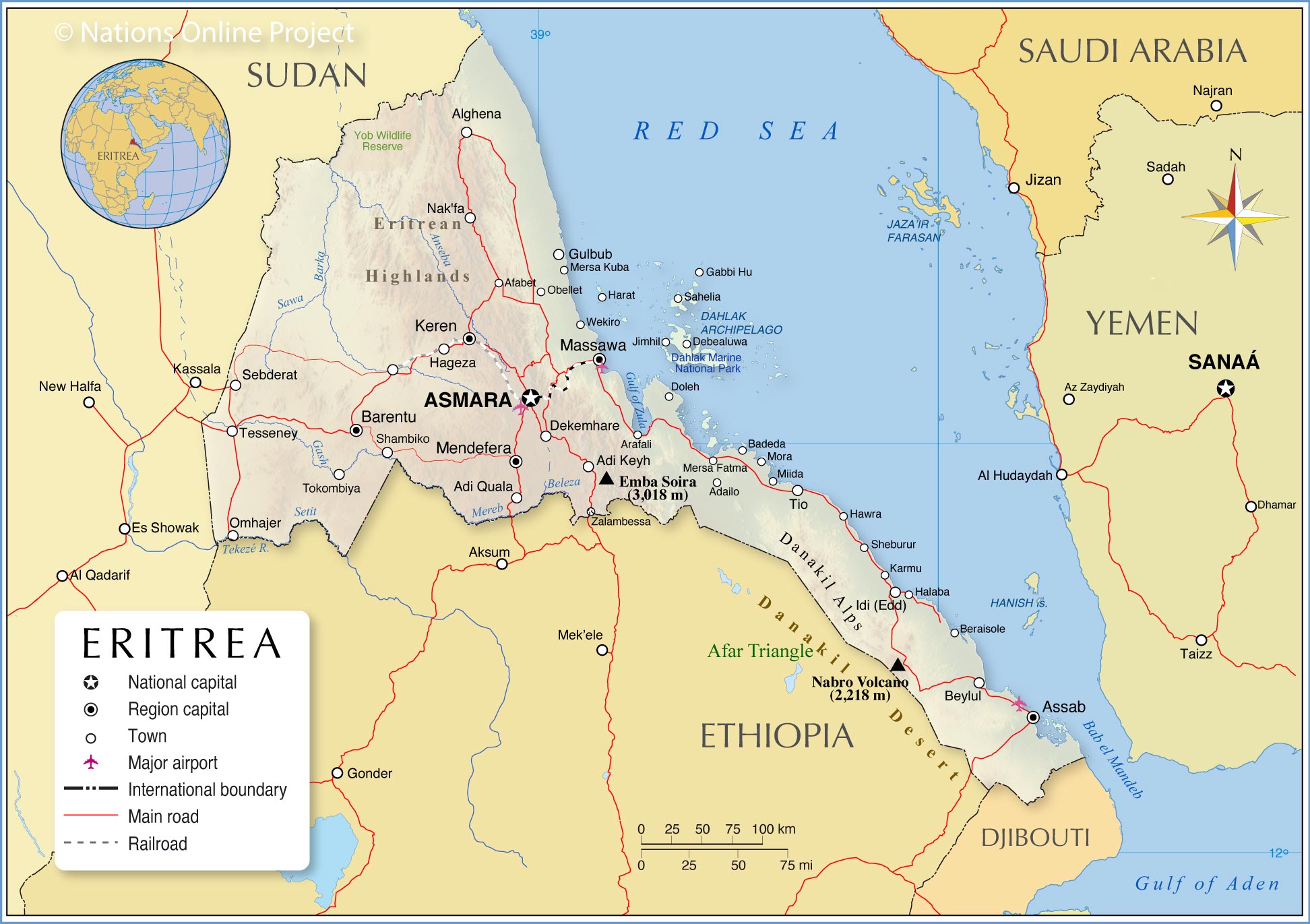
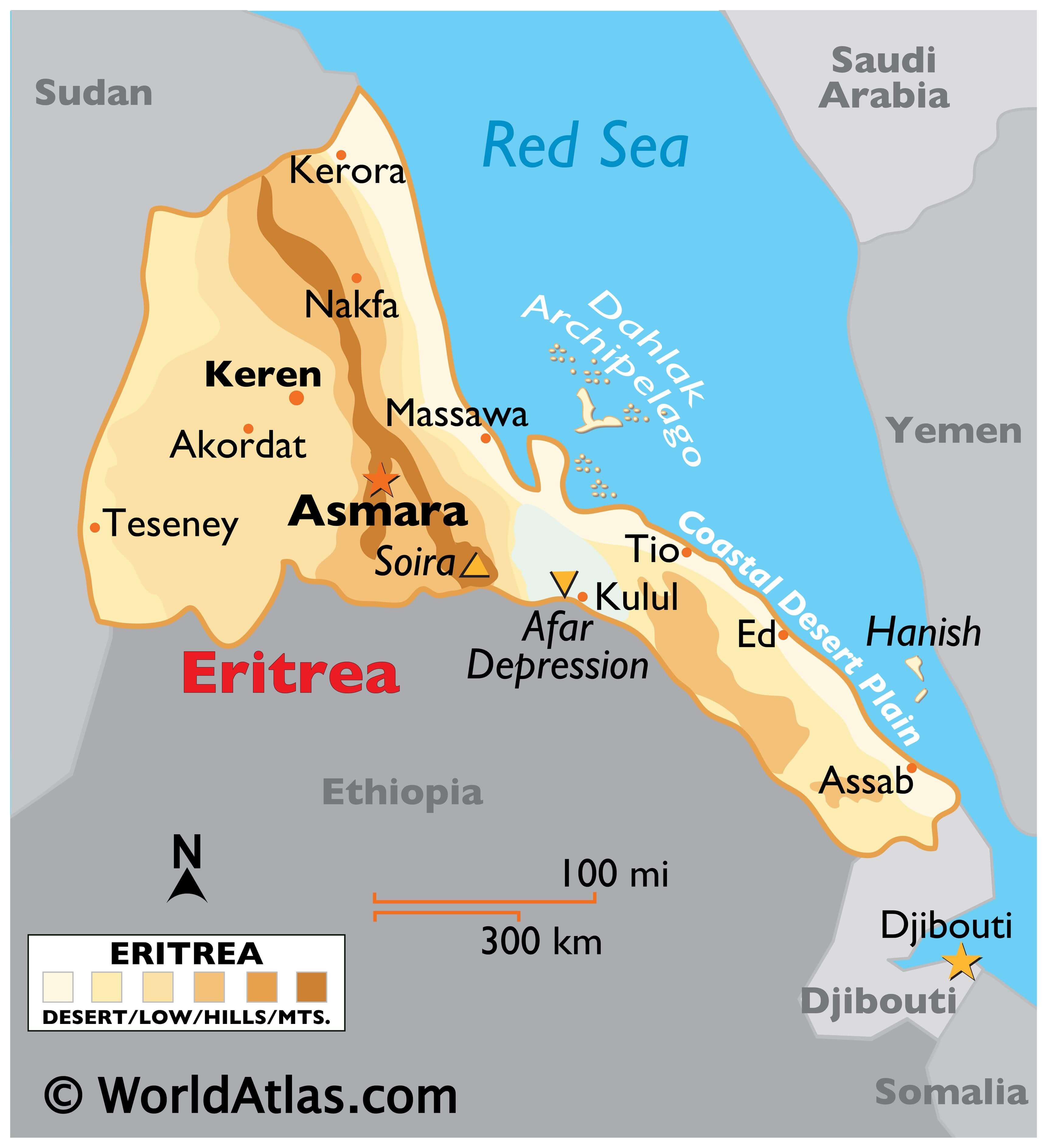
The East African country of Eritrea occupies an area of 117,600 sq. km with a coastline on the Red Sea to the east and northeast.
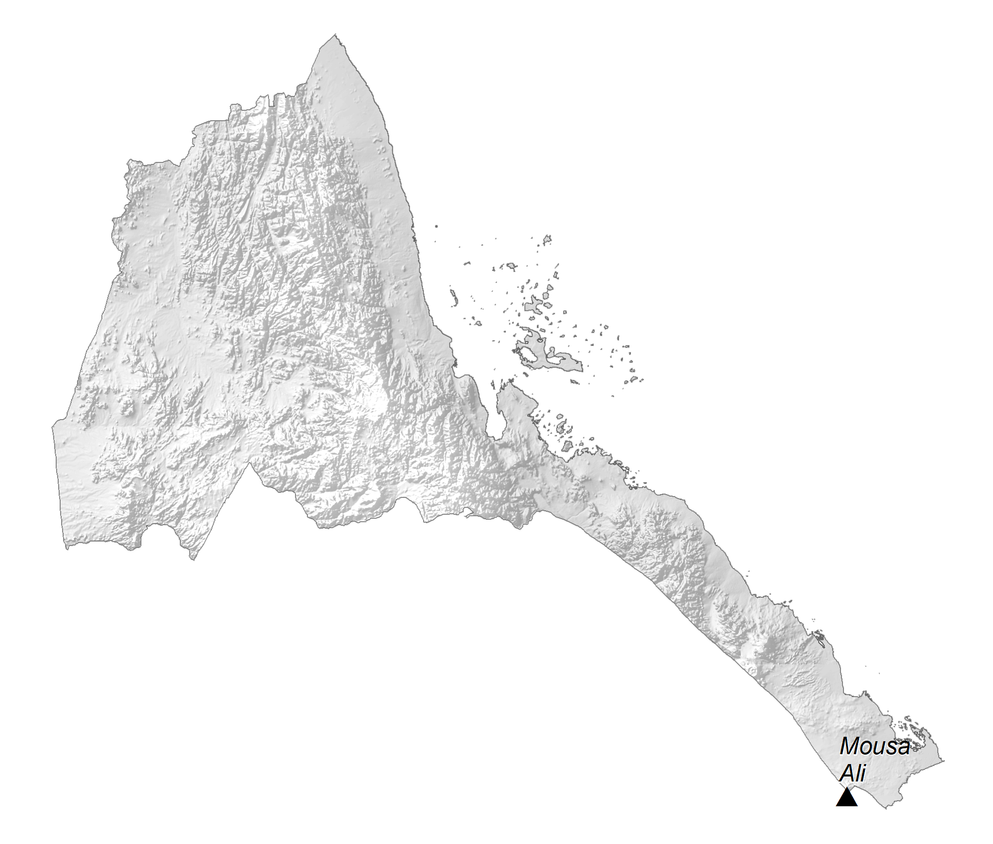
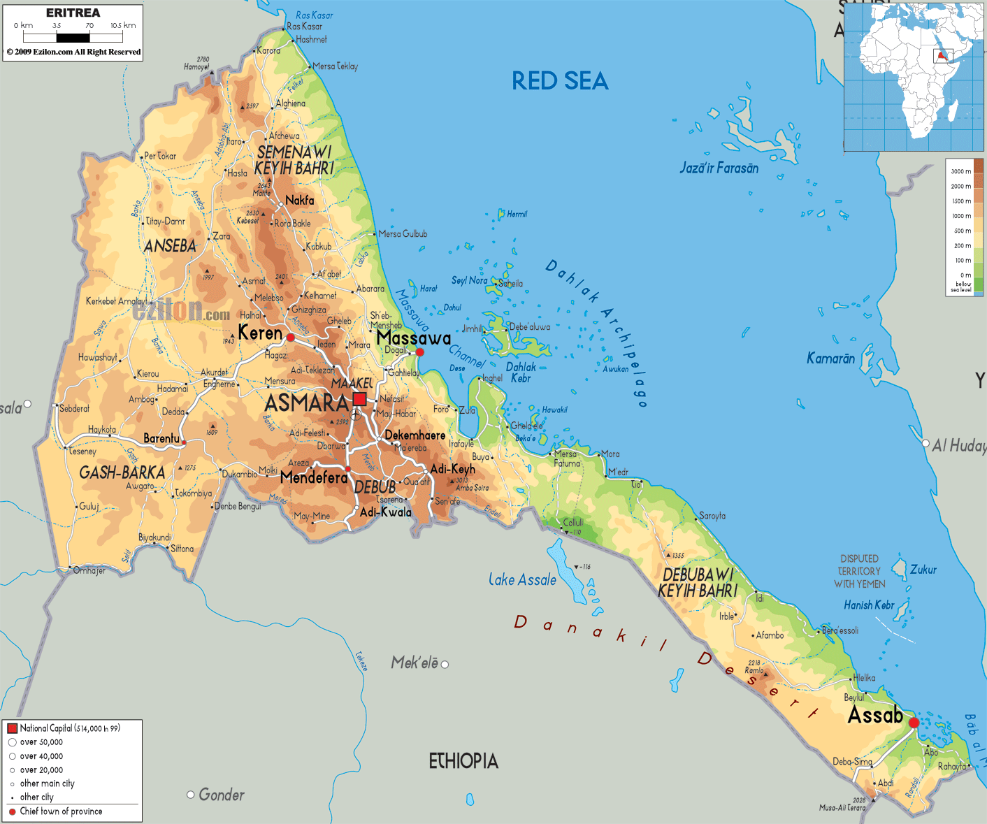
As observed on the physical map above, one of the most notable physical features of Eritrea is the central highlands region which runs on a north-south axis through the middle of the country. It hosts the highest point of Eritrea, Mount Soira, at 3,013 m marked on the map with an upright yellow triangle.
The highlands give way to the coastal plain to the east and end in eroded hills to the north.
To the south, the coastal plain widens to include the Afar Depression or the Danakil Plain which has the Kobar Sink, a depression that lies 90 m below sea level. It is the lowest point in the country.
To the west, the central highlands lead to irregular plains that slope down to the border with Sudan. Savanna vegetation cover this part of the country.
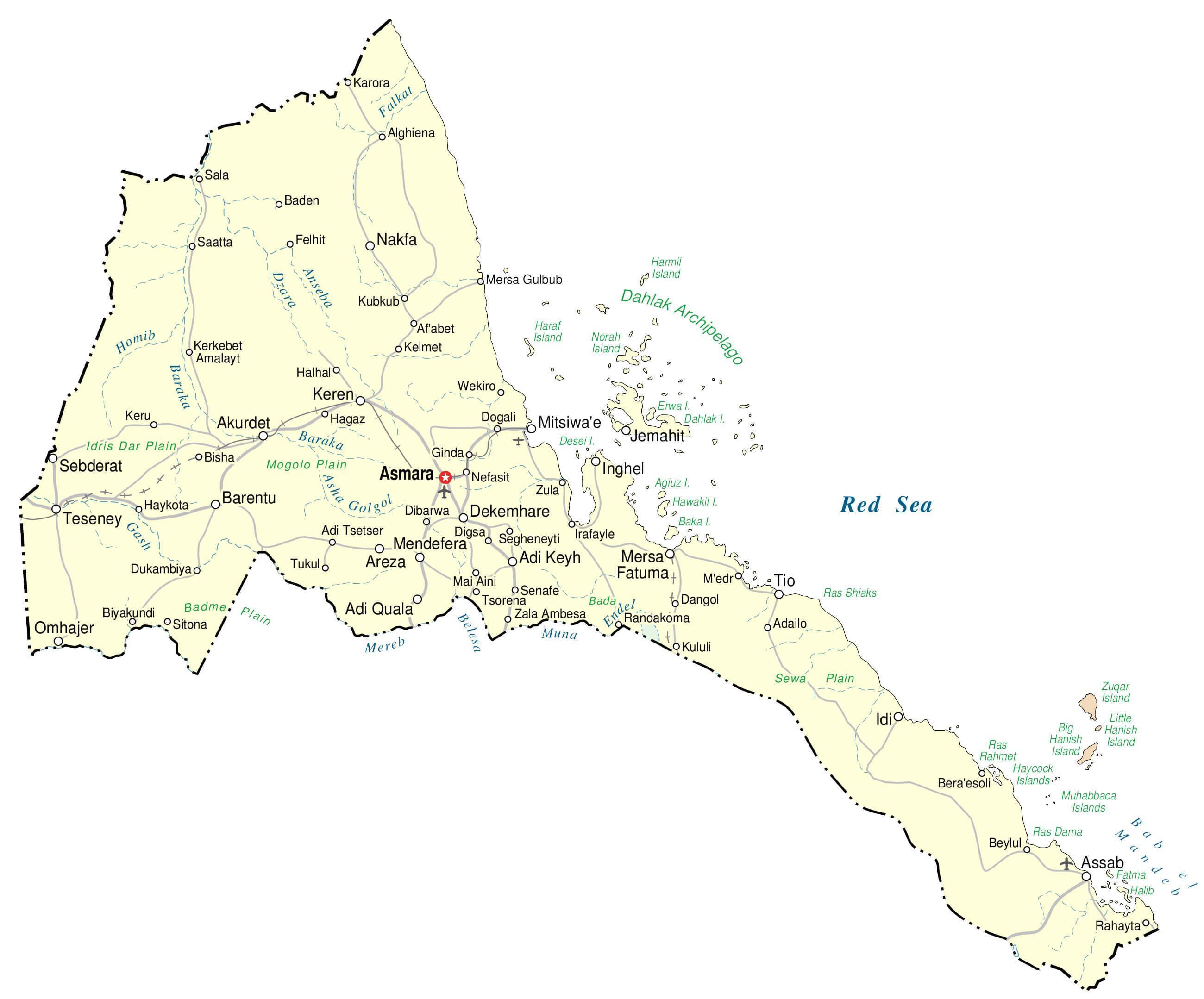
A few rivers like the Gash, Tekeze, Baraka, and Anseba are some of the rivers draining the country.
The Dahlak Archipelago can also be observed on the map above. It is a group of coral islands off the coast of mainland Eritrea in the Red Sea.
| Flag: |  |
|---|---|
| Legal Name: | State of Eritrea |
| Capital Value: | Asmara (Asmera) |
| Largest City: |
Asmara (962,985) |
| Official languages: | None |
| Demonym(s): |
|
| Government: | Unitary one-party presidential republic under a totalitarian dictatorship |
| Legislature: | National Assembly |
| Total Area: | 117,600 km² |
| Land Area: | 101,000 km² |
| Water Area: | 16,600 km² |
| Population: | 3,213,972 |
| GDP: | $2.07 Billion |
| GDP Per Capita: | $642.51 |
| Currency Value: | Nakfa (ERN) |
| Driving side: | right |
| Calling code: | +291 |
| Internet TLD: | .er |
Experience the beauty and diversity of Eritrea with this interactive map. From the lush interior region to the desert landscape of the Danakil Depression, explore the major cities, towns, and highways of this African nation. See the satellite and elevation map for a closer look at the landscape.
Online Interactive Political Map
Click on ![]() to view map in "full screen" mode.
to view map in "full screen" mode.
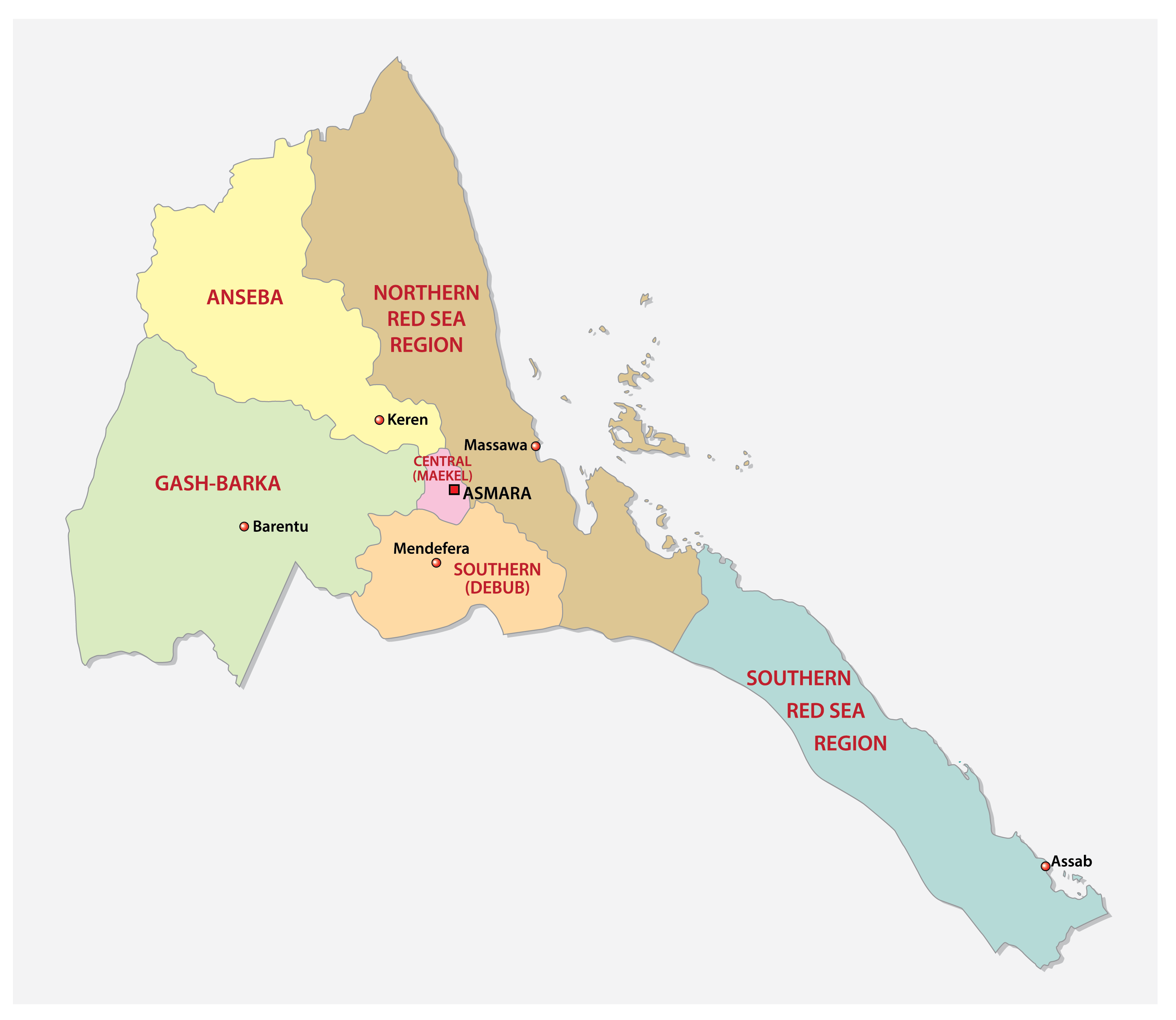
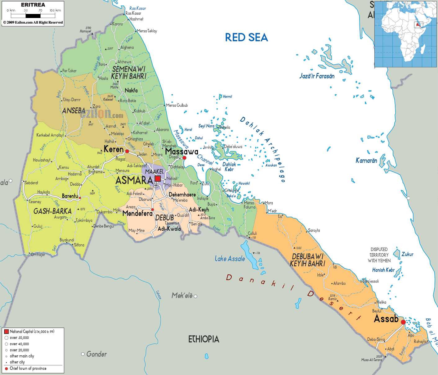
Eritrea is divided into six administrative divisions called regions. These are: Anseba, Debub (South), Debubawi K’eyih Bahri (Southern Red Sea), Gash Barka, Ma’akel (Central), and Semenawi K’eyih Bahri (Northern Red Sea). They are further subdivided into sub-regions.
Debub is the most populous of these regions of Eritrea. The national capital of Asmara is located in the Ma’akel (Central) Region.
Location Maps
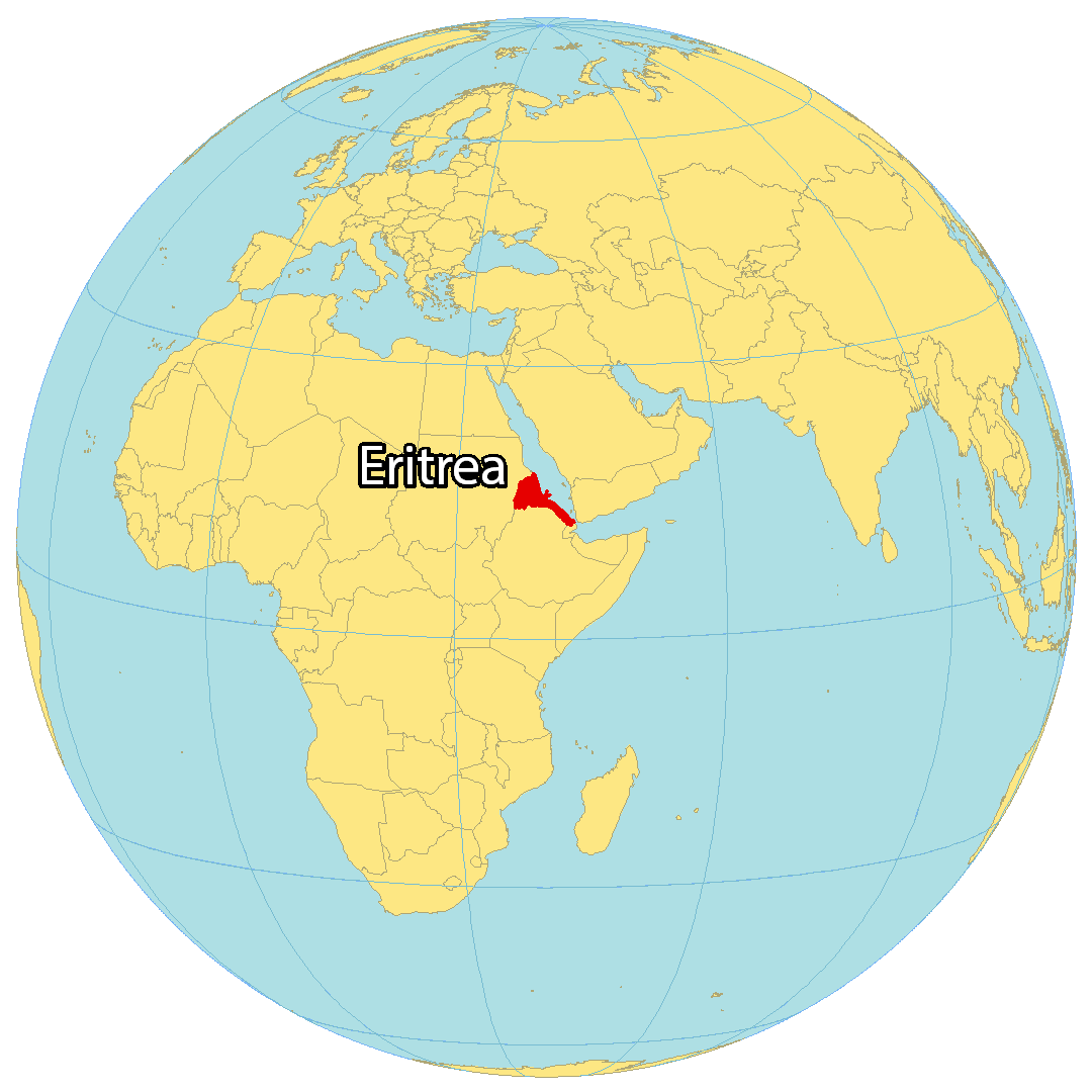
Where is Eritrea?
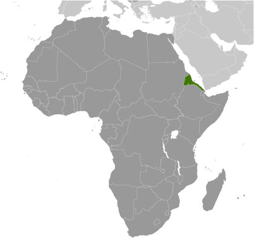
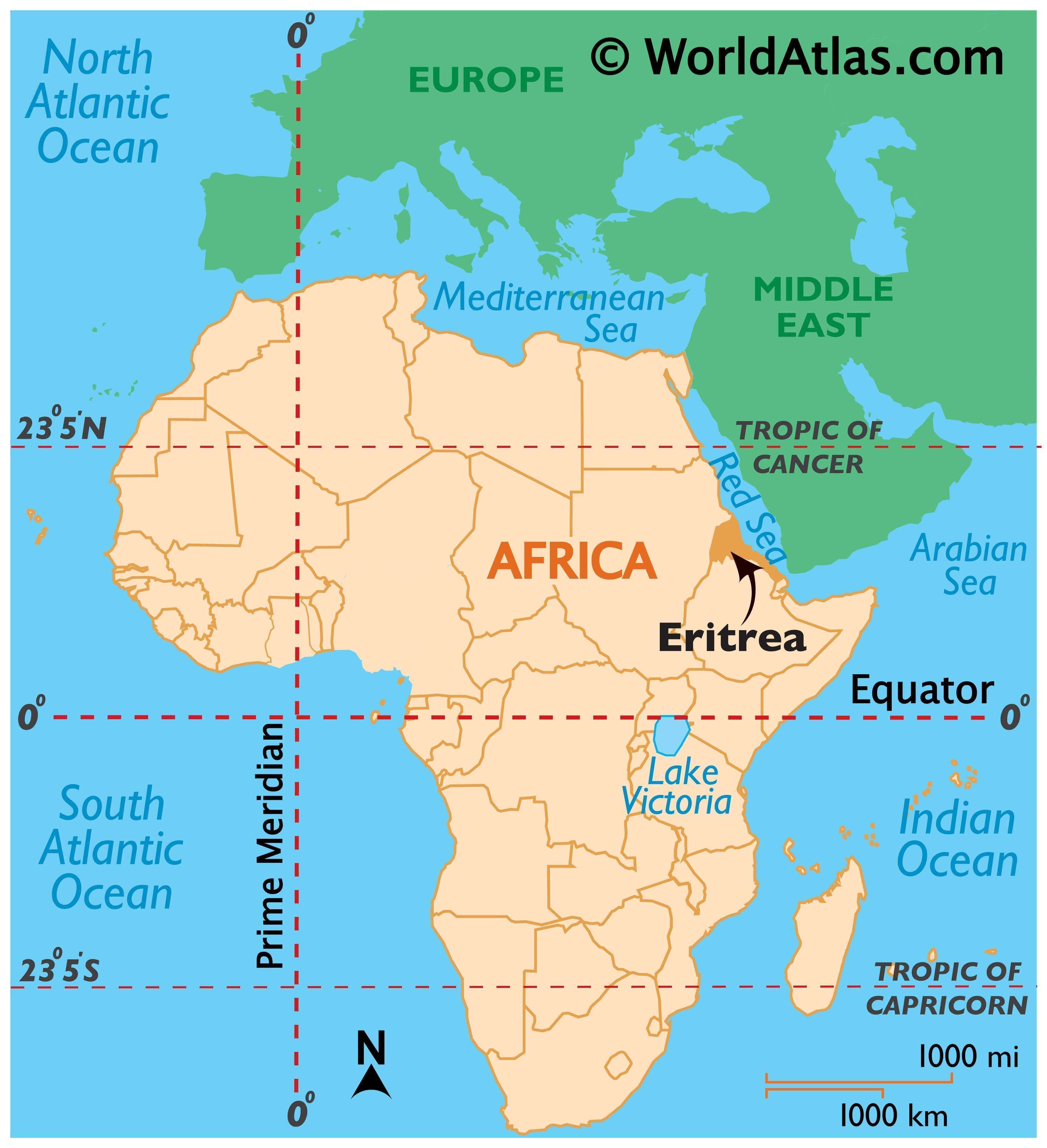
Eritrea is situated in Northeast Africa and is part of the Horn of Africa. It is bordered by Sudan to the west, Ethiopia to the south, and Djibouti to the southeast, and lies across the Red Sea from Yemen. The Dahlak Archipelago, a group of 124 small islands off the coast of mainland Eritrea, is also part of the country. Of the islands, only two are inhabited. The Hanish Islands and Southern Red Sea Islands are also part of Eritrea. Asmara is the capital and largest city, with its Italian influence and architecture.
High Definition Political Map of Eritrea
Physical Map of Eritrea
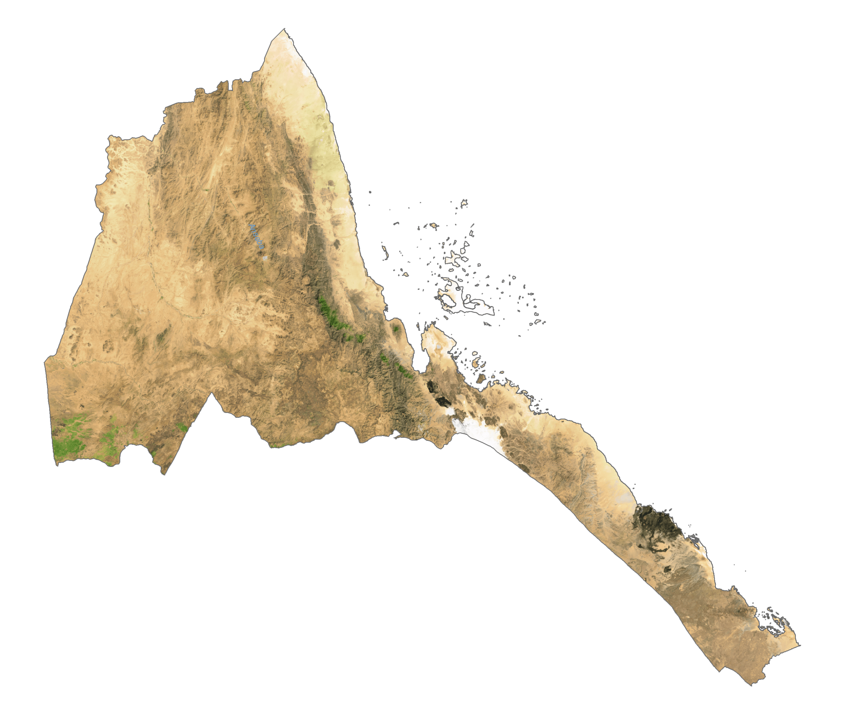
Eritrea Satellite Map
Elevation Map