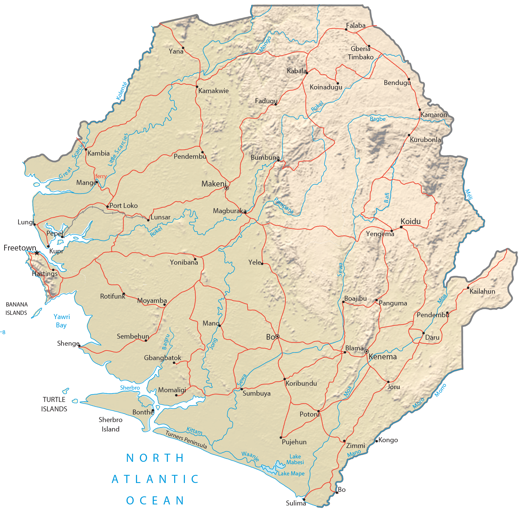
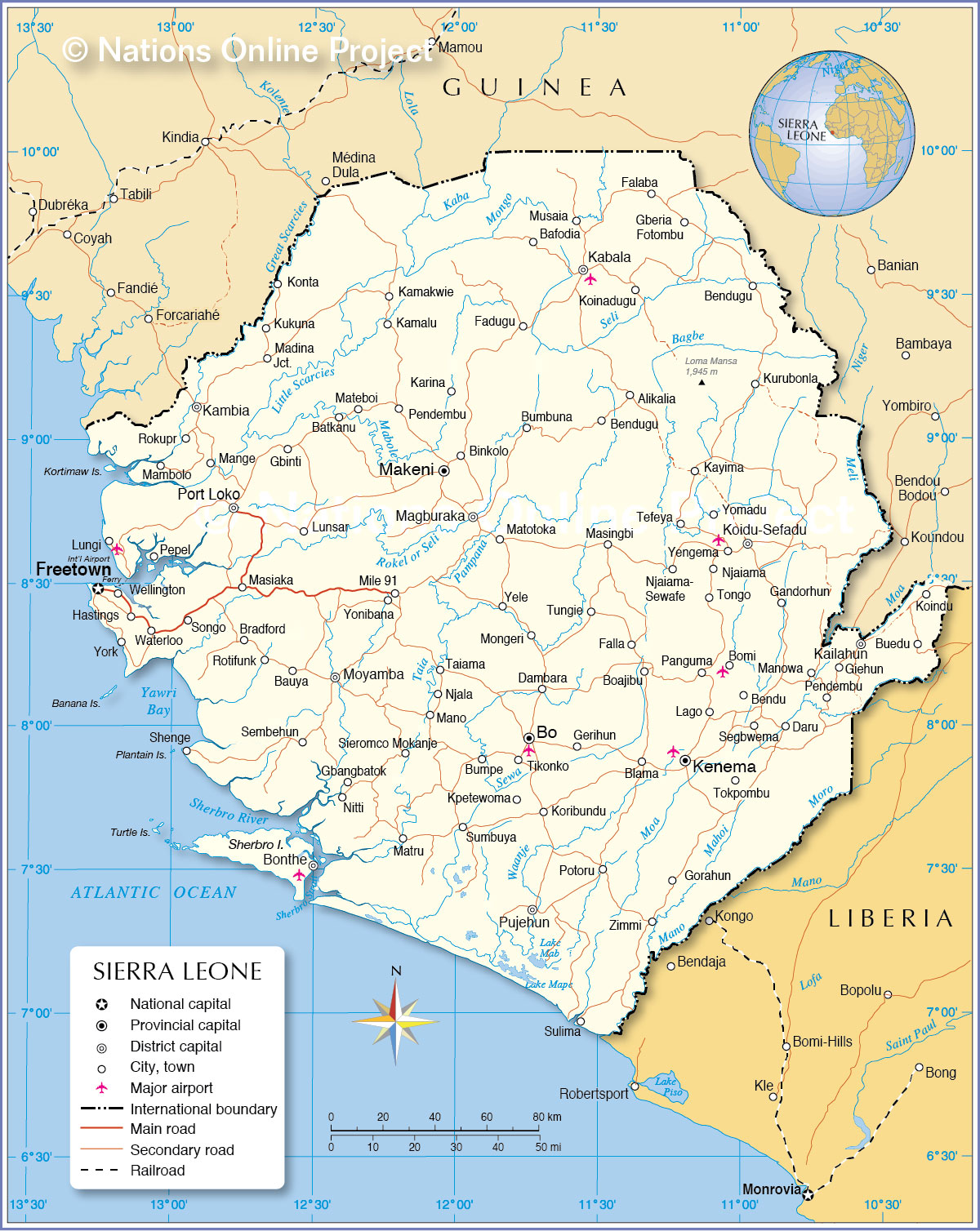
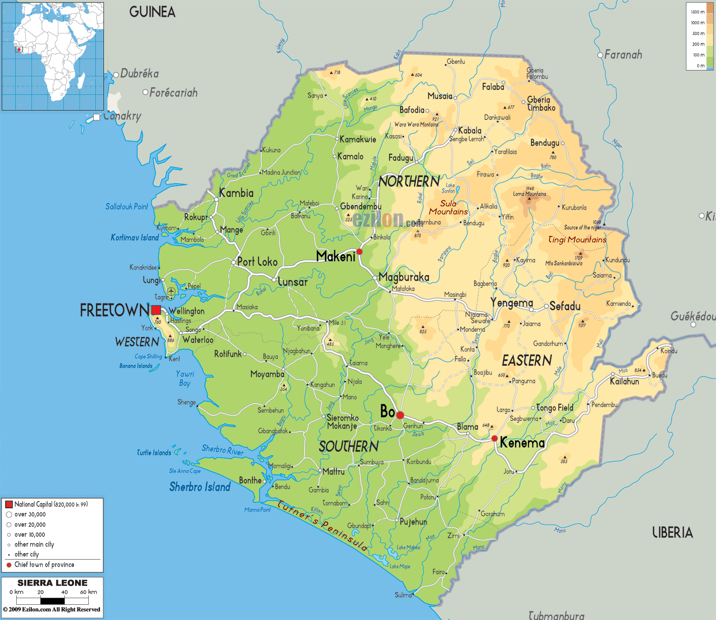
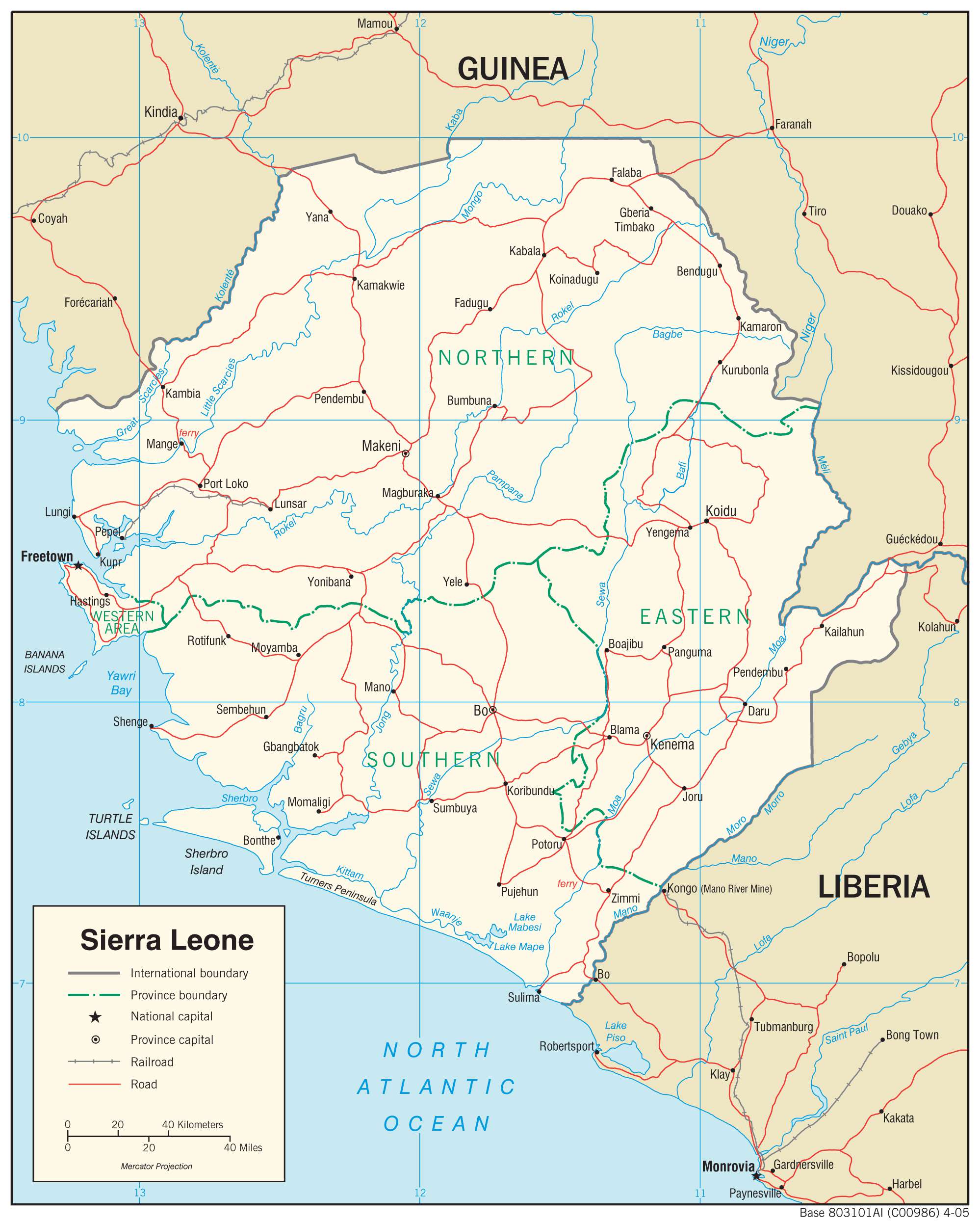
The West African country of Sierra Leone occupies an area of 71,740 sq. km. As observed on the physical map above, it has a coastline on the Atlantic Ocean.
Sierra Leone has four distinct physical regions.
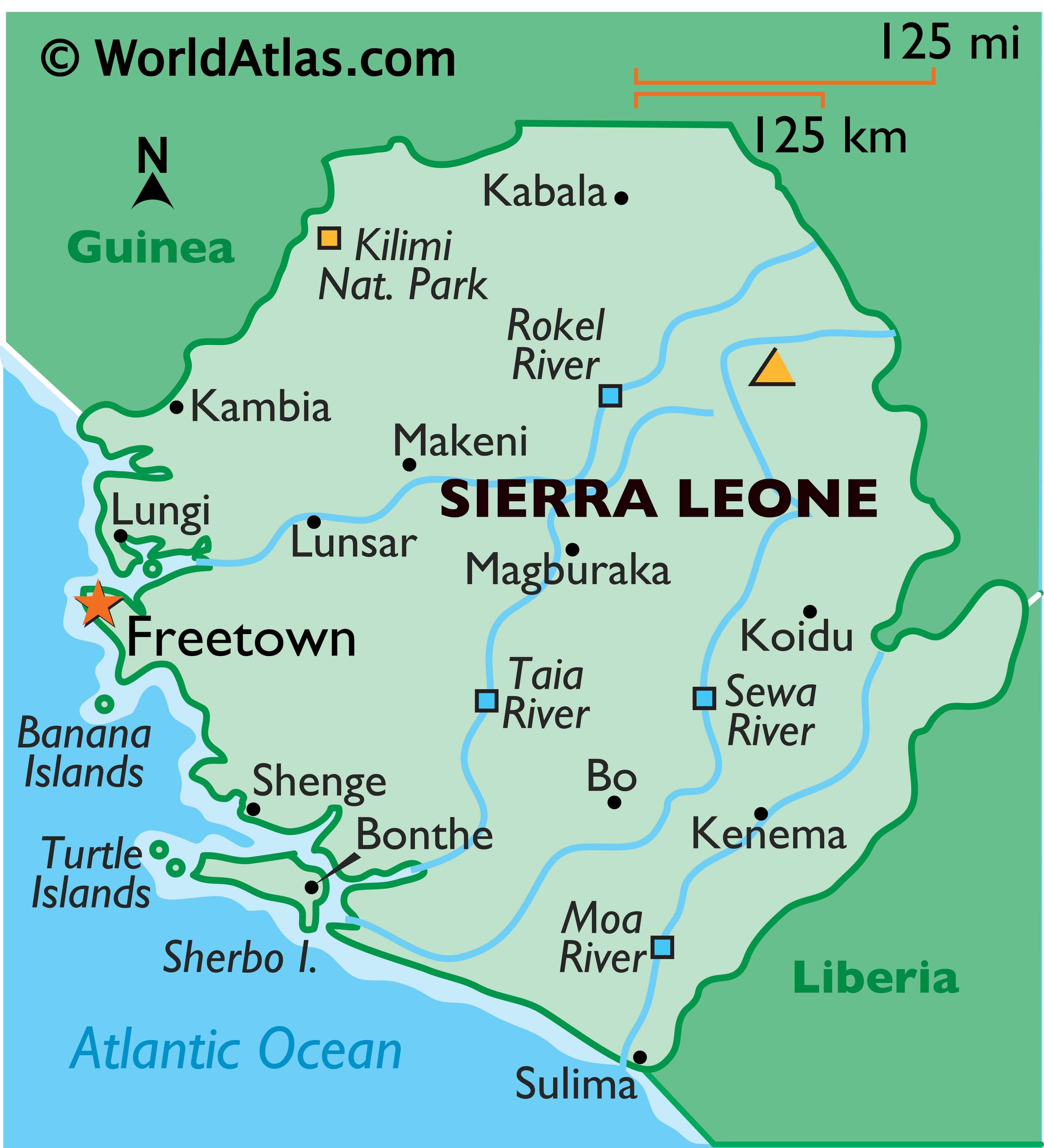
A coastal swamp region that runs parallel to the Atlantic coast for around 320 km and comprises of a flat, frequently flooded plain with width ranging from 8 to 40 km. It is indented with many estuaries and creeks.
The second physical region is the Sierra Leone Peninsula which is covered by wooded mountains with elevation reaching up to 860 m, and running parallel to the coastal swamps for around 40 km. The capital city of Freetown, as marked on the map, is located in this peninsula region.
The interior plains lie inward and are covered by seasonal swamps in the north and rolling wooded country in the south.
Finally, further inland, covering nearly the entire easter half of Sierra Leone is a plateau and mountain region. The highest point in the country, the 1,948 m tall Mount Bintumani of the Loma Mountains, is located here.
Sierra Leone is drained by several rivers crisscrossing the country. Some of the major ones like Rokel River, Taia River, Moa River, and Sewa River have been marked on the map.
The country also has several islands on the Atlantic Ocean. Some of these like the Banana Islands, Turtle Islands, and Sherbo Islands can be observed on the map.
| Flag: |  |
|---|---|
| Legal Name: | Republic of Sierra Leone |
| Capital Value: | Freetown |
| Largest City: |
Freetown (1,201,900) |
| Official languages: | English |
| Demonym(s): | Sierra Leonean |
| Government: | Unitary presidential republic |
| Legislature: | Parliament |
| Total Area: | 71,740 km² |
| Land Area: | 71,620 km² |
| Water Area: | 120 km² |
| Population: | 7,813,215 |
| Density: | 112/km (290.1/sq mi) (114th) |
| GDP: | $3.94 Billion |
| GDP Per Capita: | $504.46 |
| Currency Value: | Leones (SLL) |
| Driving side: | right |
| Calling code: | +232 |
| Internet TLD: | .sl |
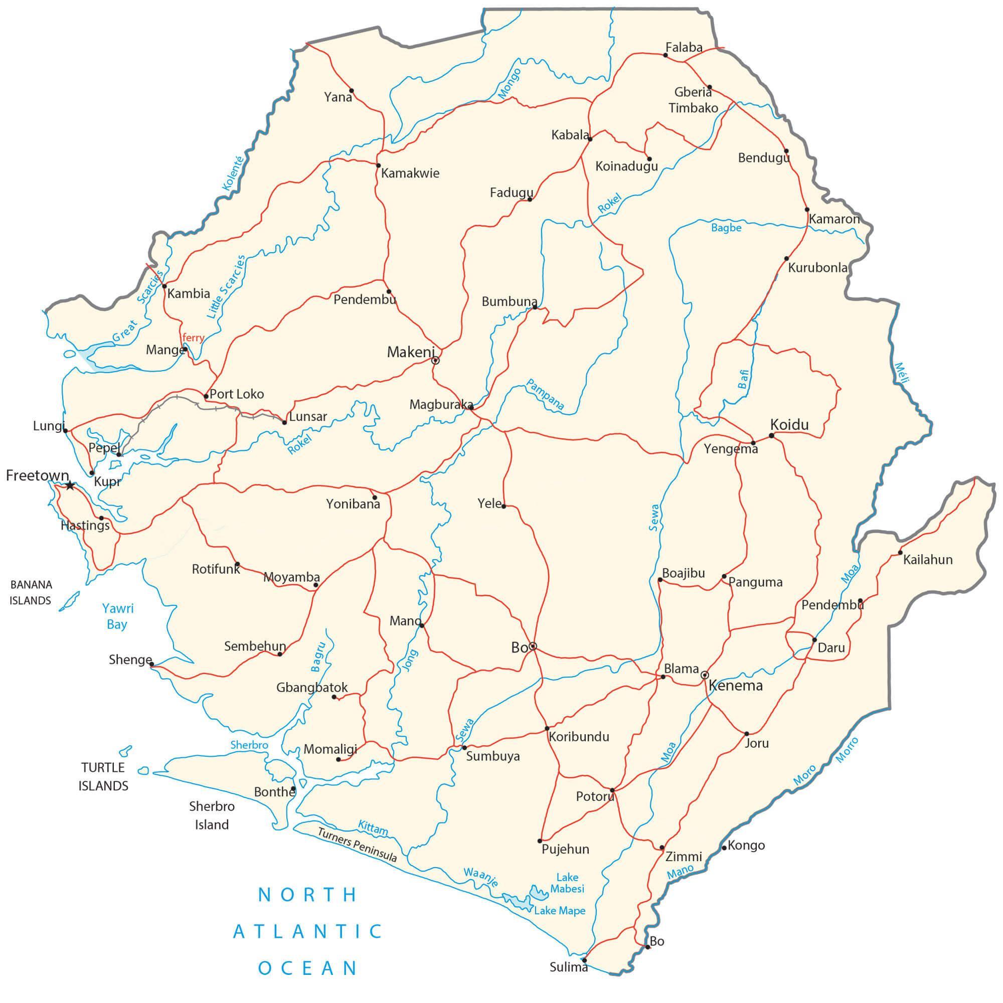
Explore the beauty of Sierra Leone with our exceptional map collection! Our reference map displays the country’s major cities, rivers, highways, airports and towns. Our satellite imagery offers stunning views of the country’s landscape and its many islands, while our physical map showcases the topography of Sierra Leone in vivid colors and stunning detail.
Online Interactive Political Map
Click on ![]() to view map in "full screen" mode.
to view map in "full screen" mode.
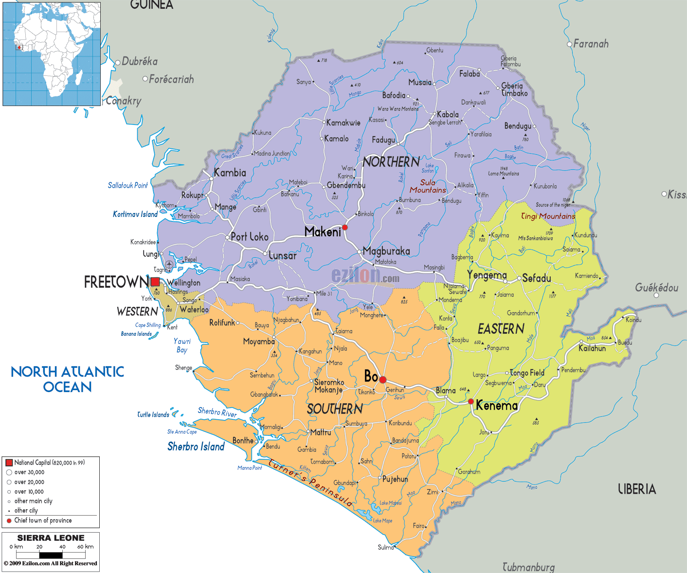
Sierra Leone is divided into four provinces and one area. The provinces are Eastern, Northern, North Western, and Southern. The area is called Western Area or Freetown Peninsula.
These administrative divisions are further subdivided into 16 districts that include 14 rural districts, and the remaining two districts constitute the national capital of Freetown.
The districts are divided into 186 chiefdoms. These are local government units headed by tribal, hereditary chiefs.
Location Maps
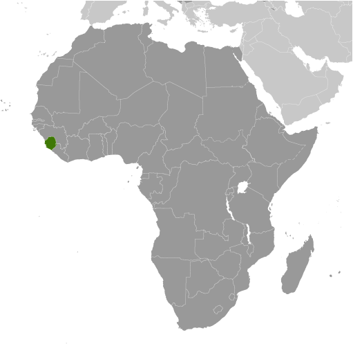
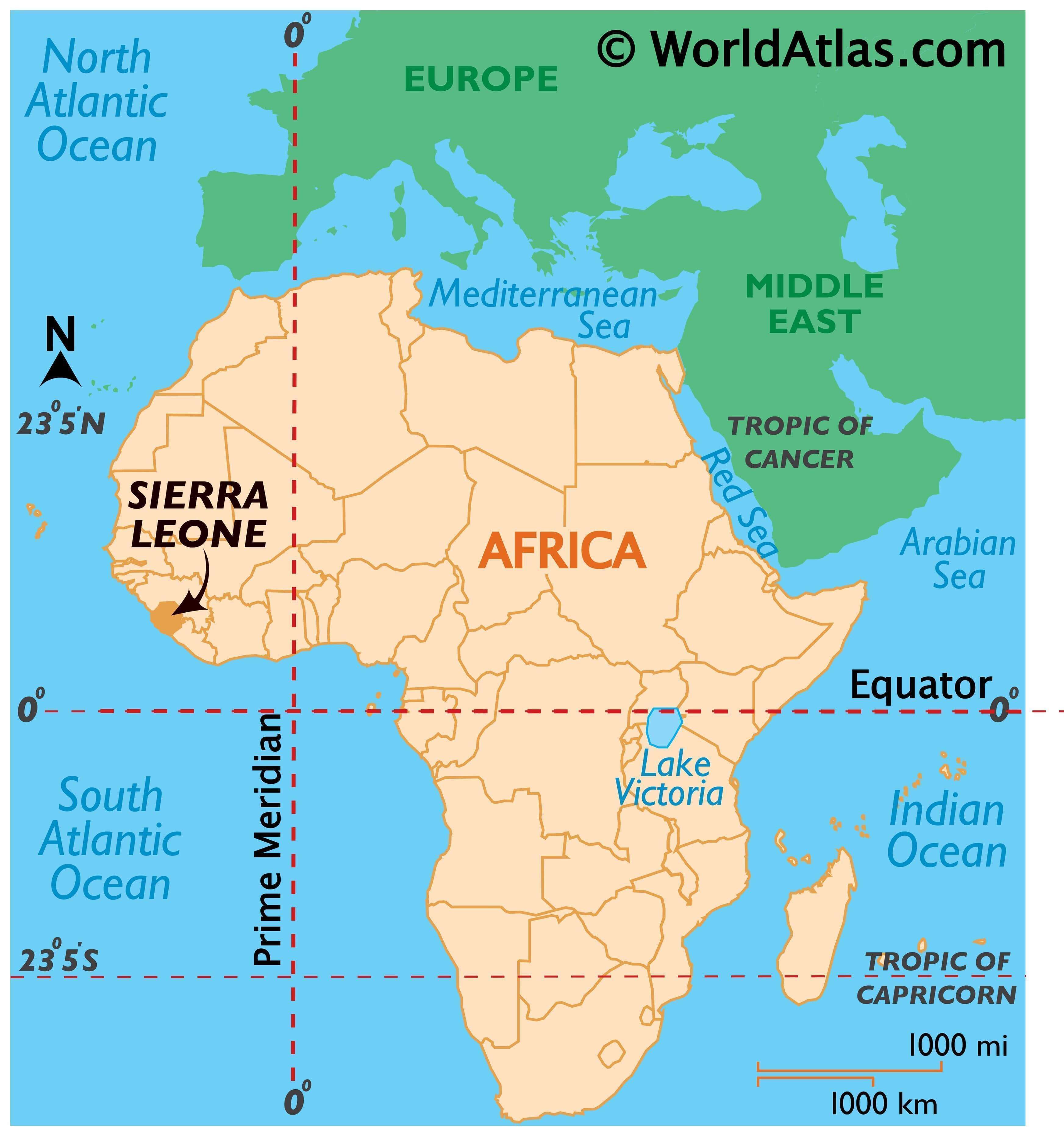
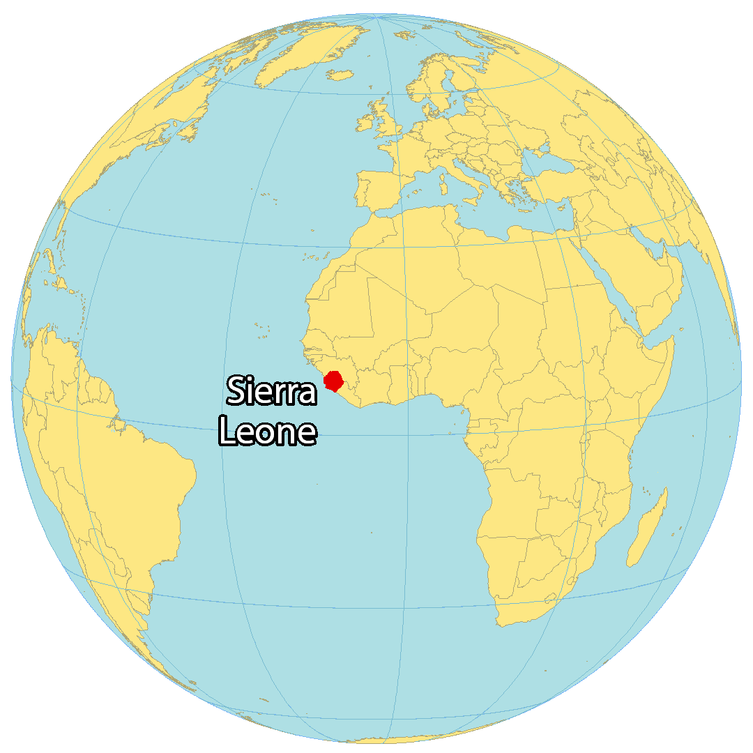
Where is Sierra Leone?
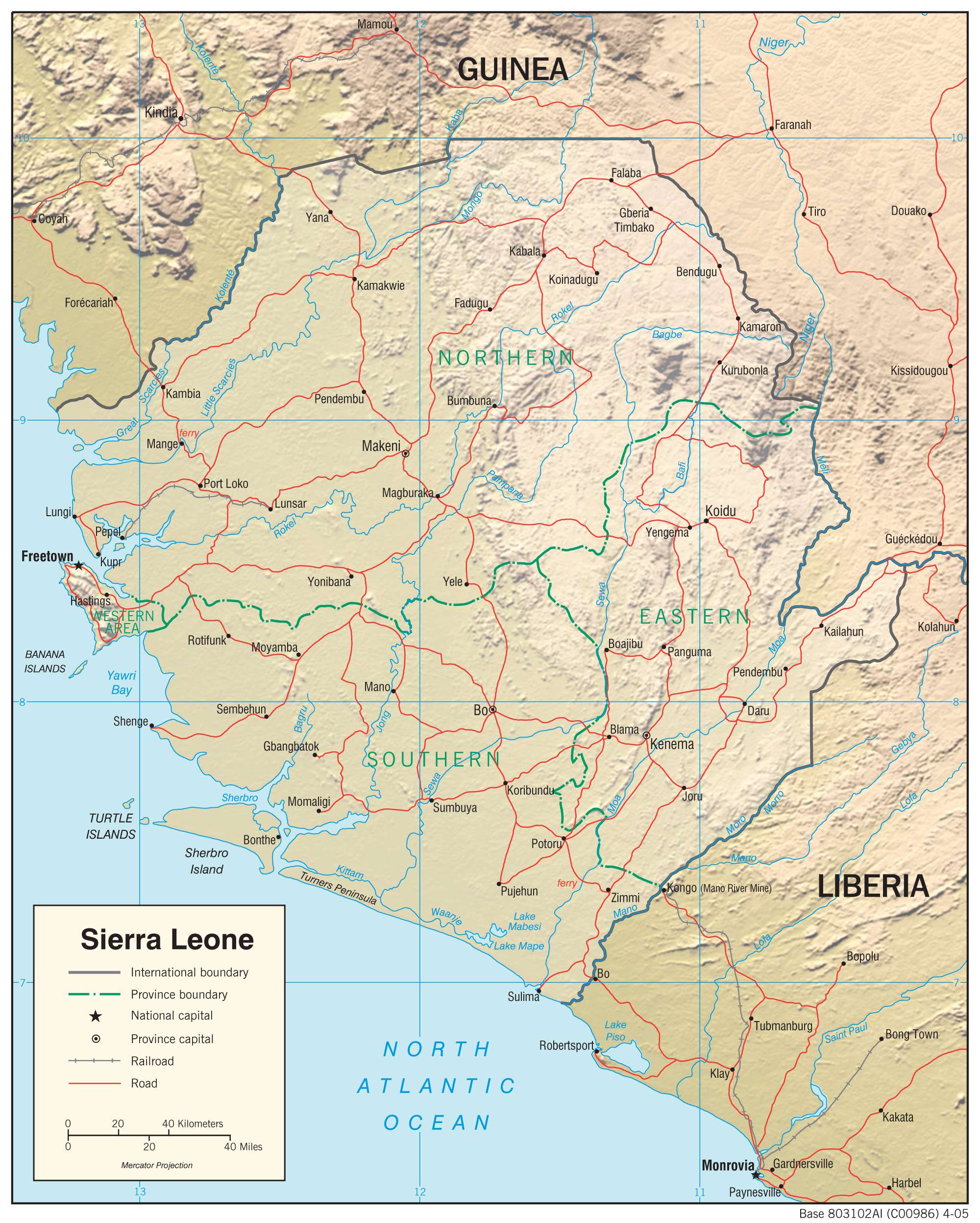
Sierra Leone is situated in western Africa, bordering the Atlantic Ocean. It is surrounded by two African countries: Guinea to the north and east, and Liberia to the southwest. Its coastline spans 506 kilometres along the North Atlantic Ocean, with several islands including the Turtle Islands, Banana Islands, and Sherbro Island. The capital and largest city of Sierra Leone is Freetown, while other major cities include Bo, Kenema, and Koidu.
High Definition Political Map of Sierra Leone
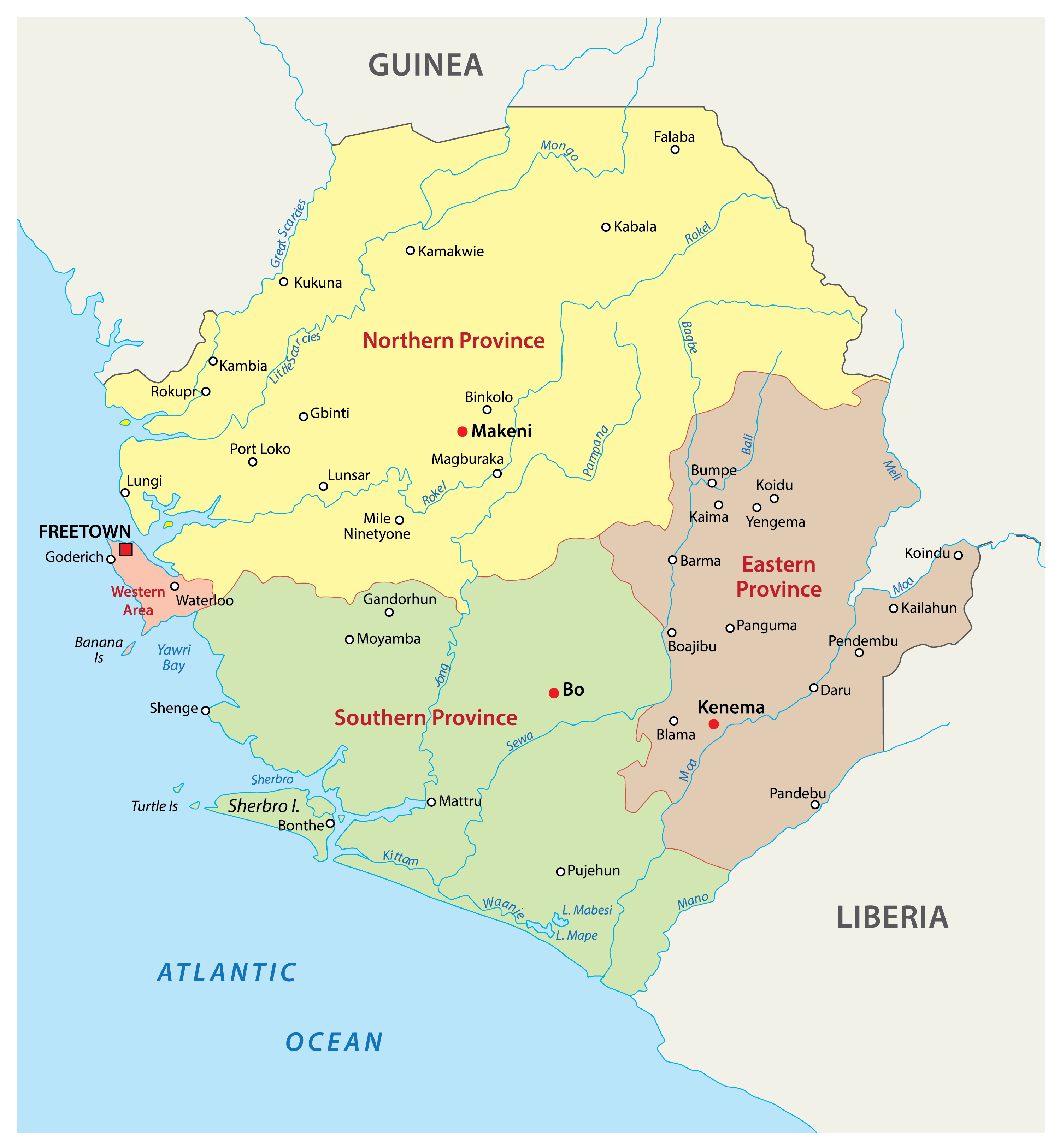
Sierra Leone Administrative Map
Physical Map of Sierra Leone

Transportation Map of Sierra Leone
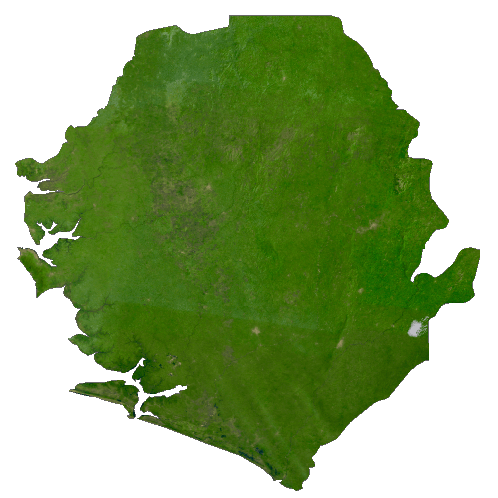
Sierra Leone Satellite Map
Elevation Map