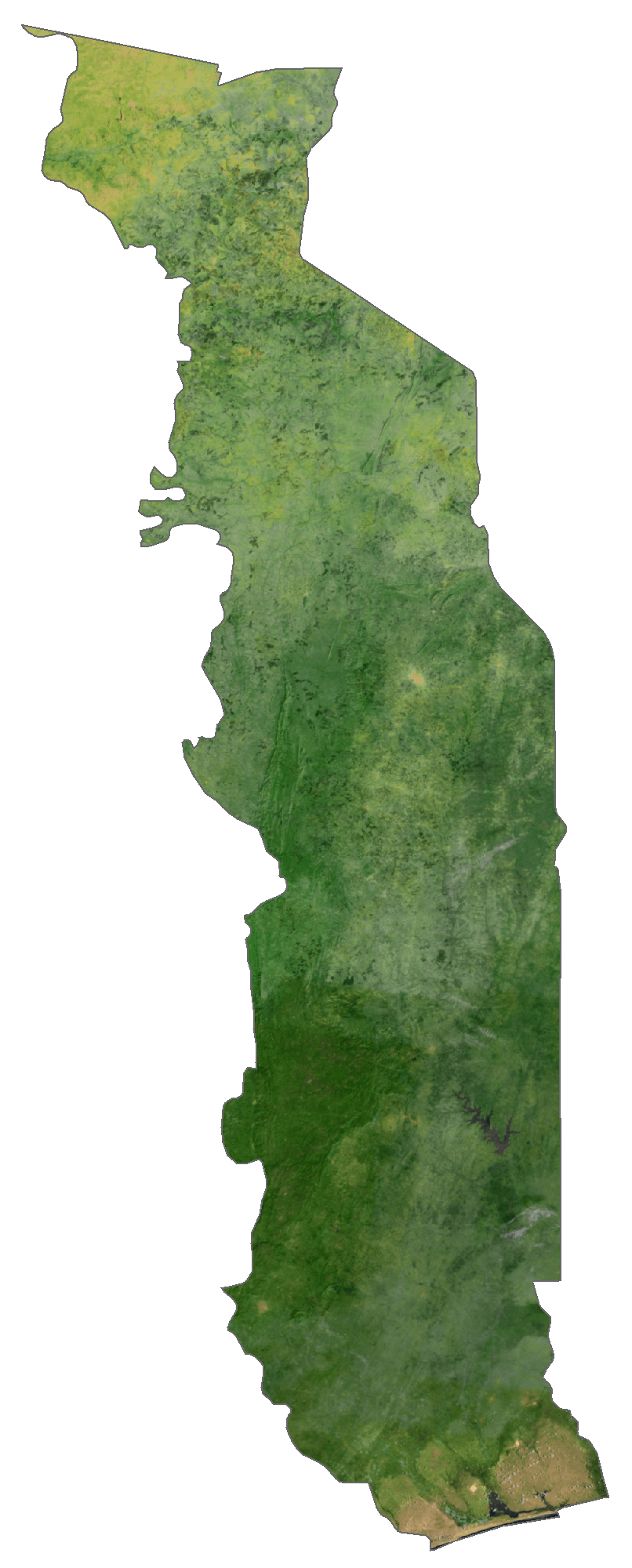
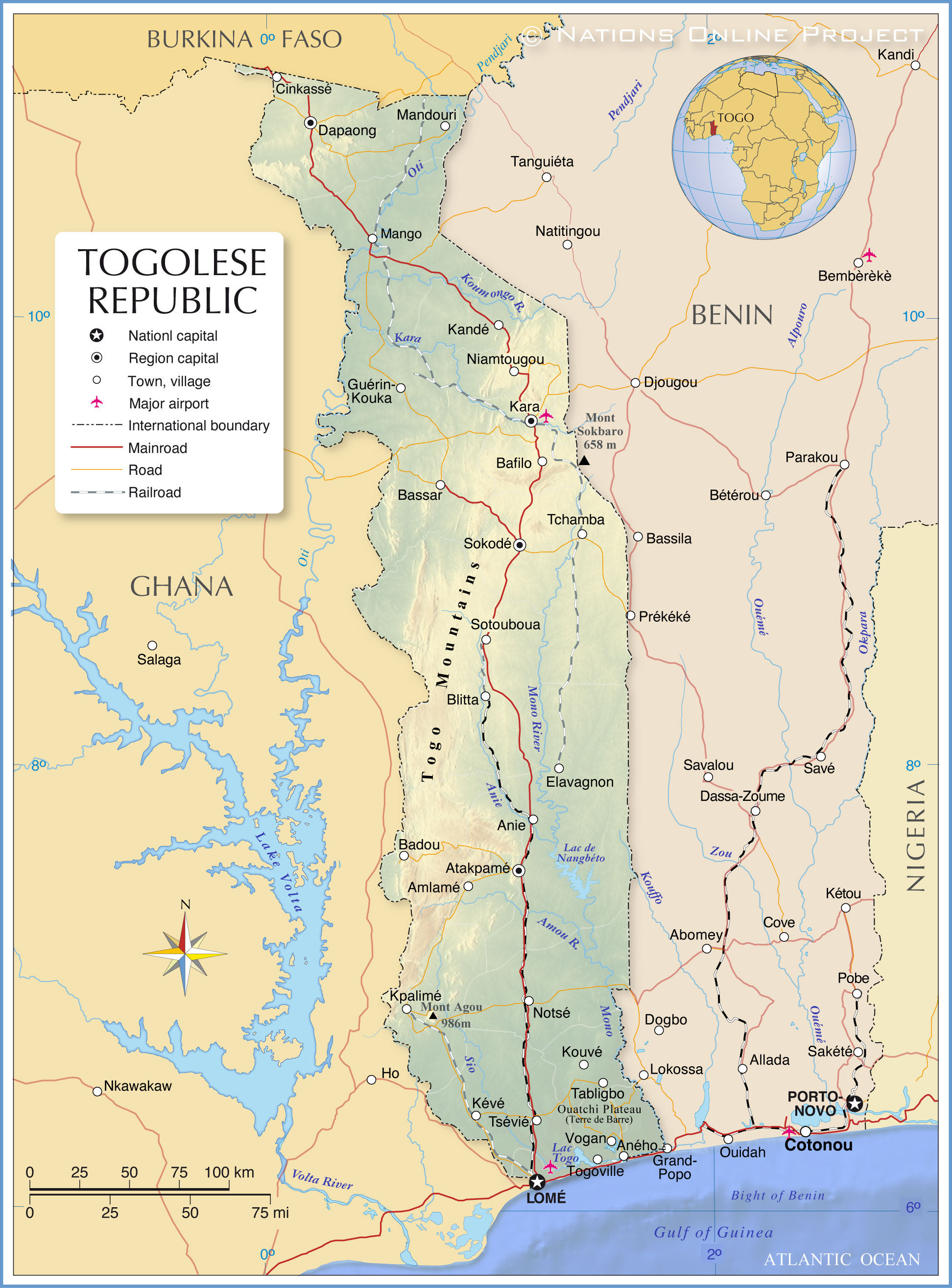
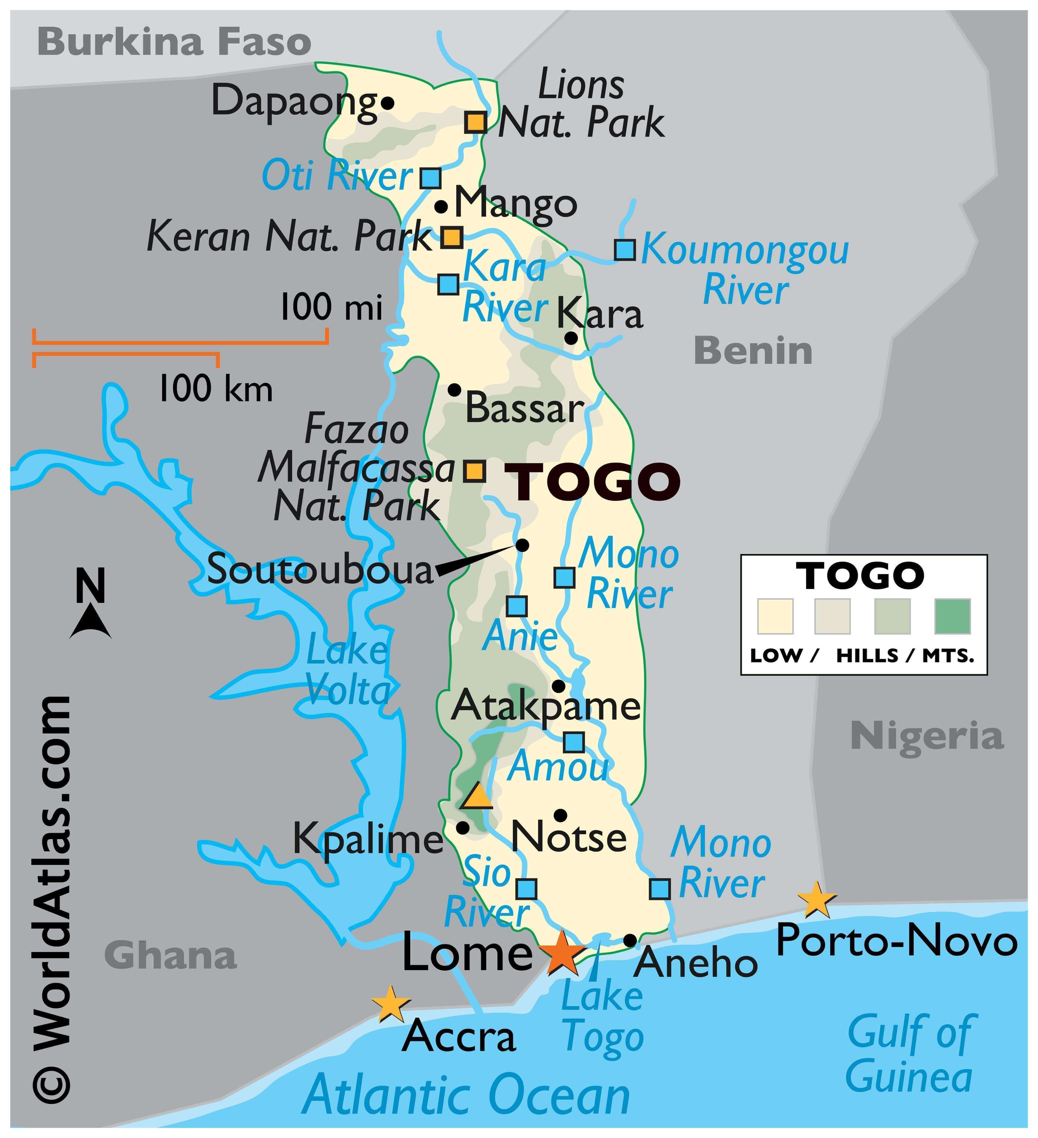
Togo is a small country occupying an area of only 56,785 sq. km in West Africa. The country extends as a long strip of land from its southern coast on the Bight of Benin. The coastline is 56 km long.
The country is divided into six distinct geographic regions.
To the south, the landscape along the narrow coast features low-lying sandy beaches that give way to tidal flats and shallow lagoons. As observed on the physical map above, Lake Togo, a lagoon, is located in this region.
The Ouatchi Plateau with an average elevation from 60 to 90 m, stretches inland for around 32 km beyond the coast. To the northeast of this plateau is a tableland with elevations ranging from 400 to 460 m. The Mono River and its tributaries drain this region.
The elevation of land gradually rises to the southwest and west of this tableland to form the Togo Mountains which host the highest point in the country, the 986 m tall Mount Agou.
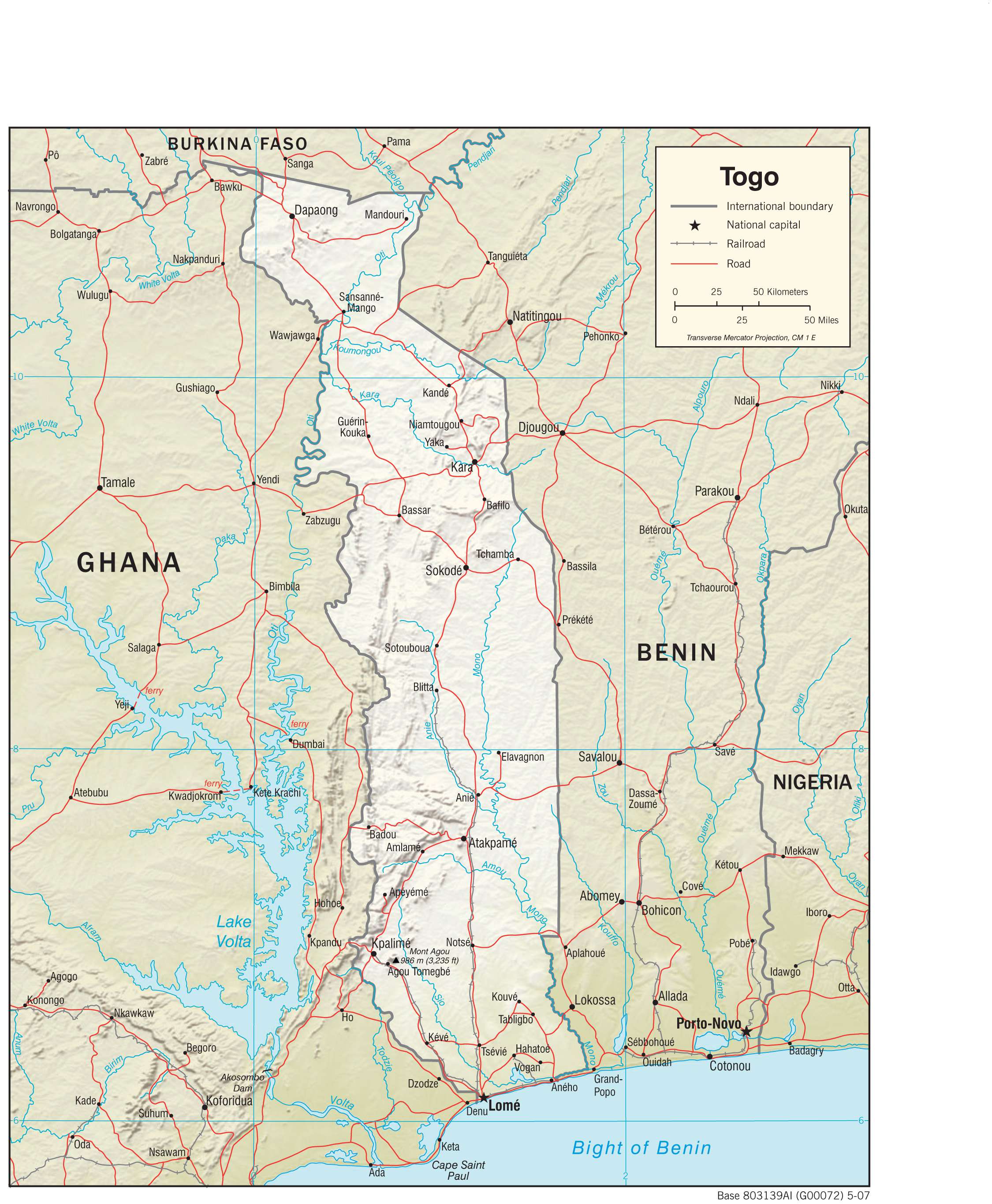
As shown on the map, the Oti River’s watershed comprising of a sandstone plateau drained by the Oti and its tributaries is located to the north of the Togo Mountains.
The Dapaong cliffs are located further northwest.
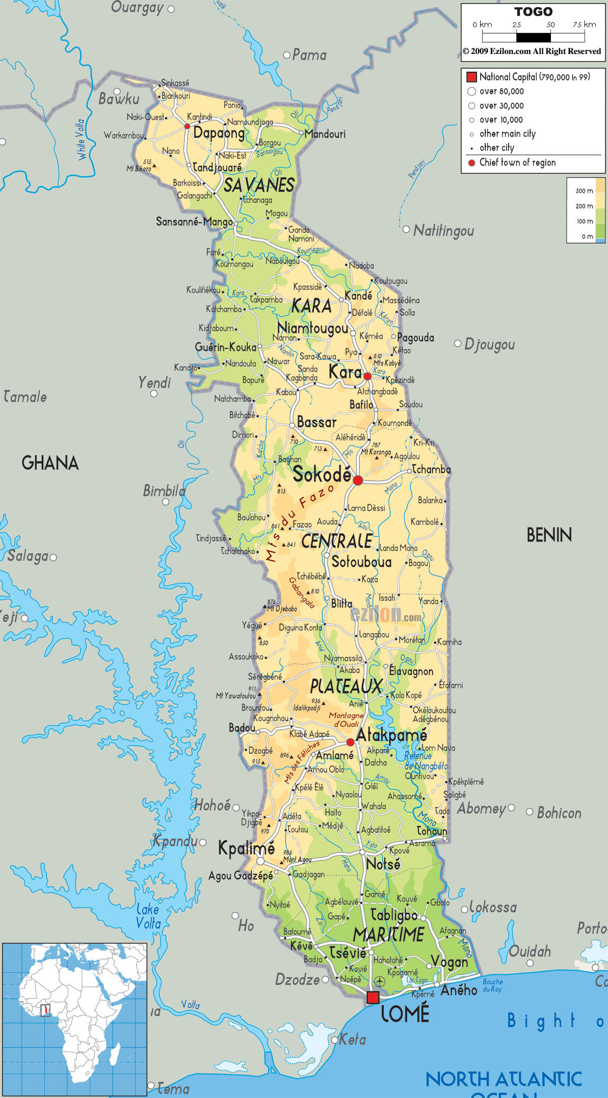
The map also displays the location of some of Togo’s major cities. The capital city of Lome is located in the coastal region of the country.
| Flag: |  |
|---|---|
| Legal Name: | Togolese Republic |
| Capital Value: | Lome |
| Largest City: |
Lomé (1,827,878) |
| Official languages: |
|
| Demonym(s): | Togolese |
| Government: | Unitary dominant-party presidential republic |
| Legislature: | National Assembly |
| Total Area: | 56,785 km² |
| Land Area: | 54,385 km² |
| Water Area: | 2,400 km² |
| Population: | 8,082,366 |
| Density: | 125.9/km (326.1/sq mi) |
| GDP: | $5.46 Billion |
| GDP Per Capita: | $675.54 |
| Currency Value: | Communaute Financiere Africaine francs (XOF) |
| Driving side: | right |
| Calling code: | +228 |
| Internet TLD: | .tg |
Explore Togo with this Map Collection
Discover the nation of Togo with this comprehensive map collection. From a reference map to satellite imagery and even an elevation map, you can find everything you need to explore and learn about Togo. Each map features the country’s major cities, towns, lakes, rivers, highways, roads, and regional divisions.
Online Interactive Political Map
Click on ![]() to view map in "full screen" mode.
to view map in "full screen" mode.
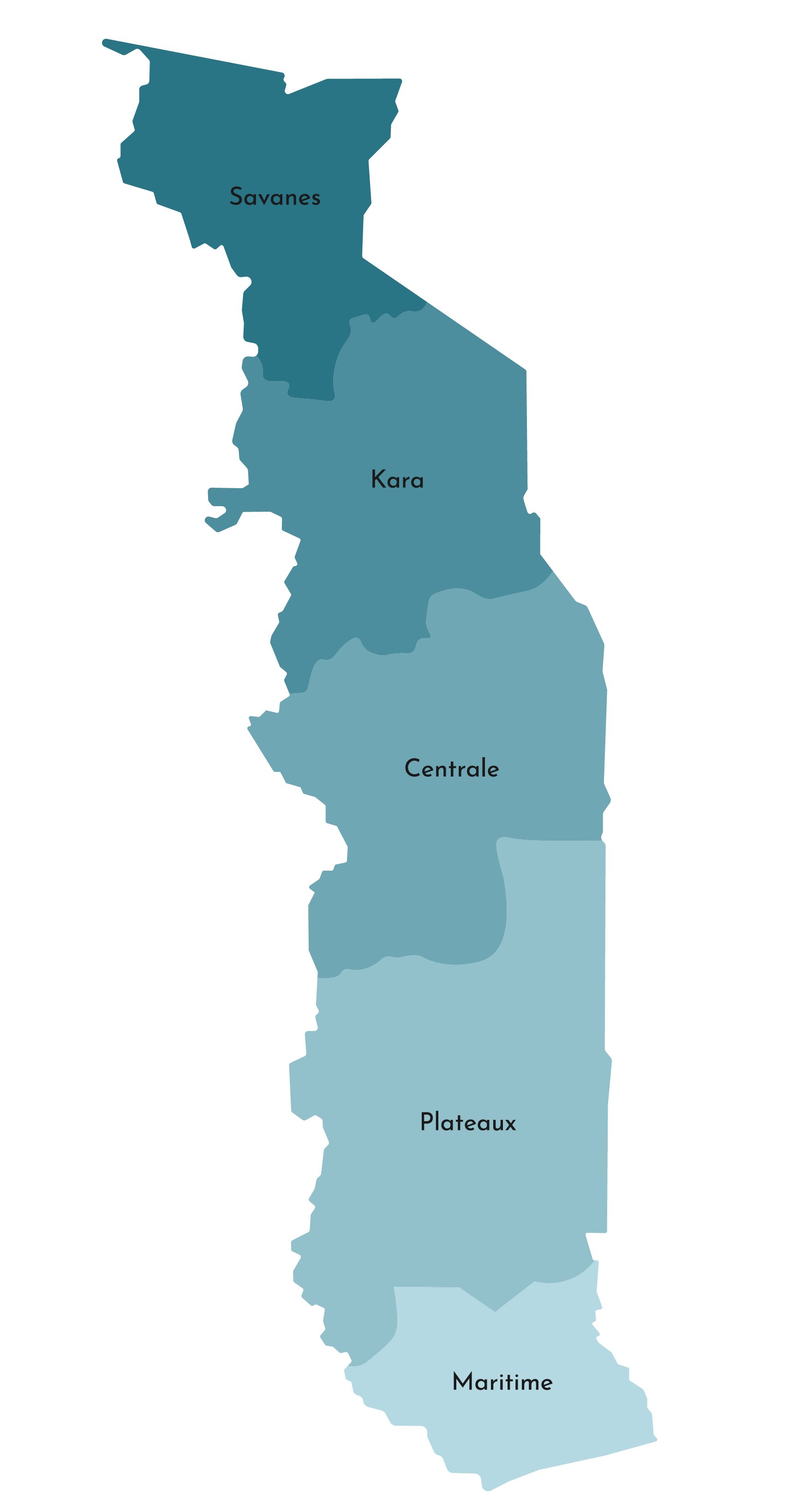
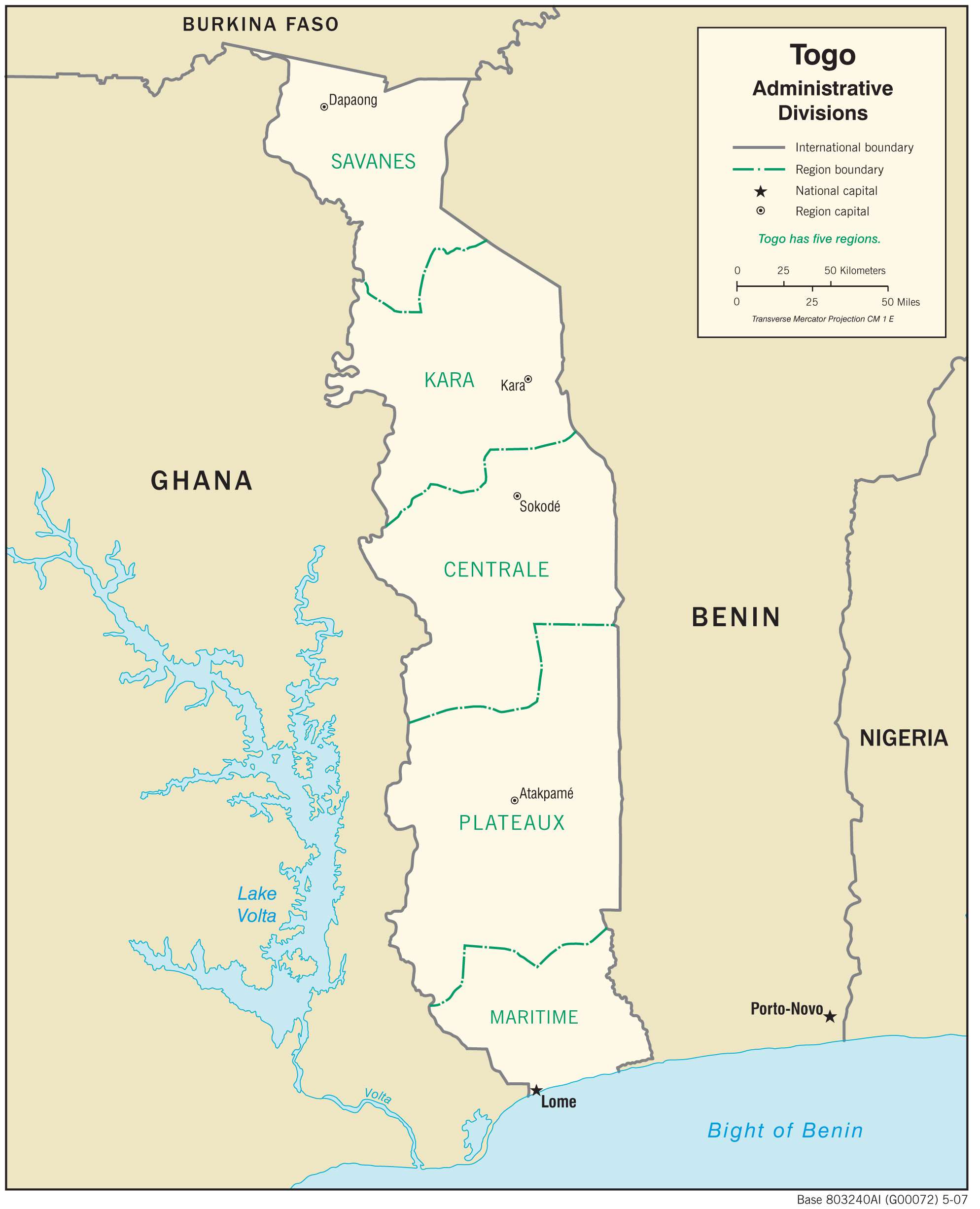
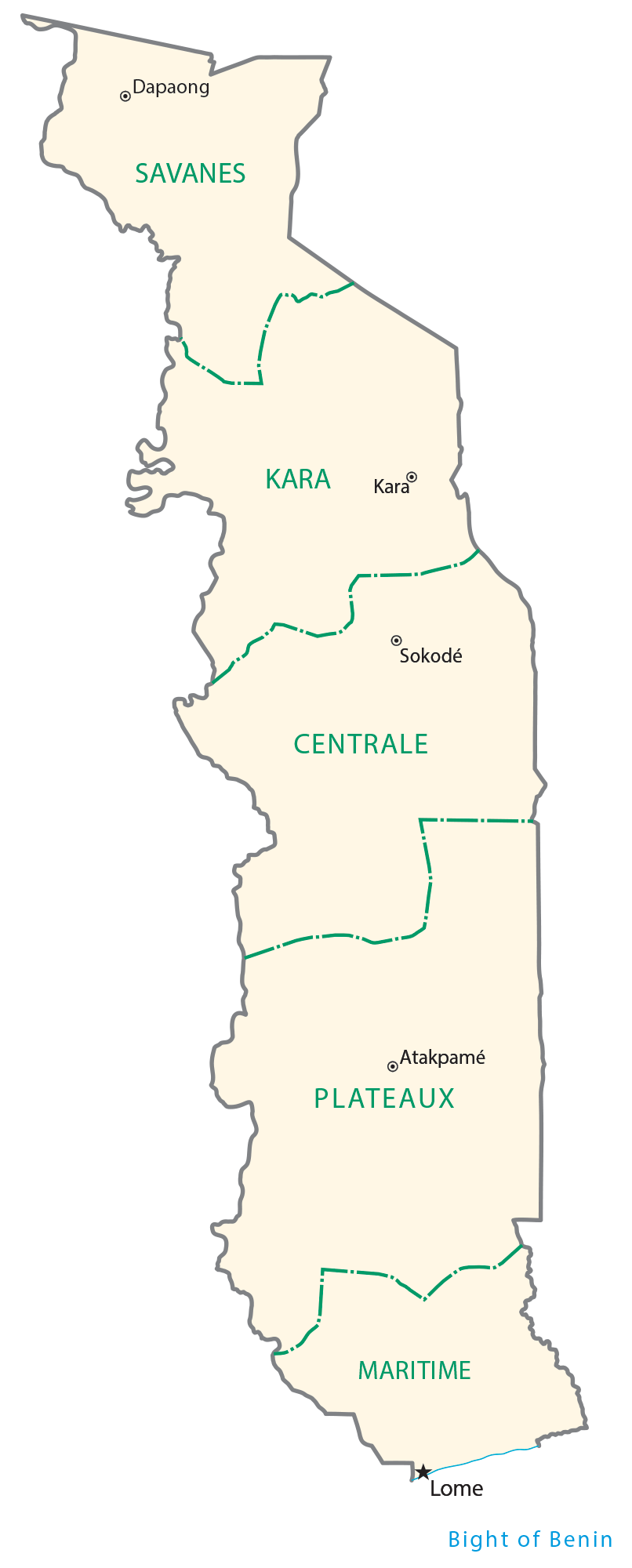
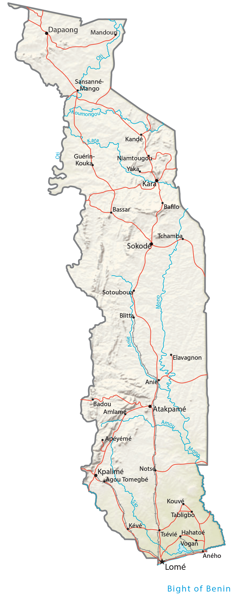
Togo is divided into five administrative regions. In alphabetical order, these regions are Centrale, Kara, Maritime, Plateaux, and Savanes. These regions are further subdivided into 30 prefectures.
With an area of 16,975 sq. km, Plateaux is the largest region of Togo while Maritime is the most populous one.
Lomé, the capital and largest city of Togo, is located in the Maritime Region.
Location Maps
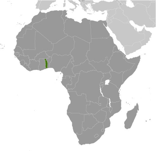
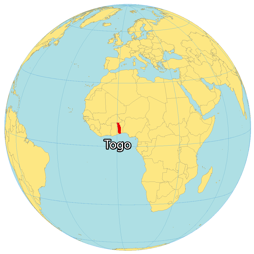
Where is Togo?
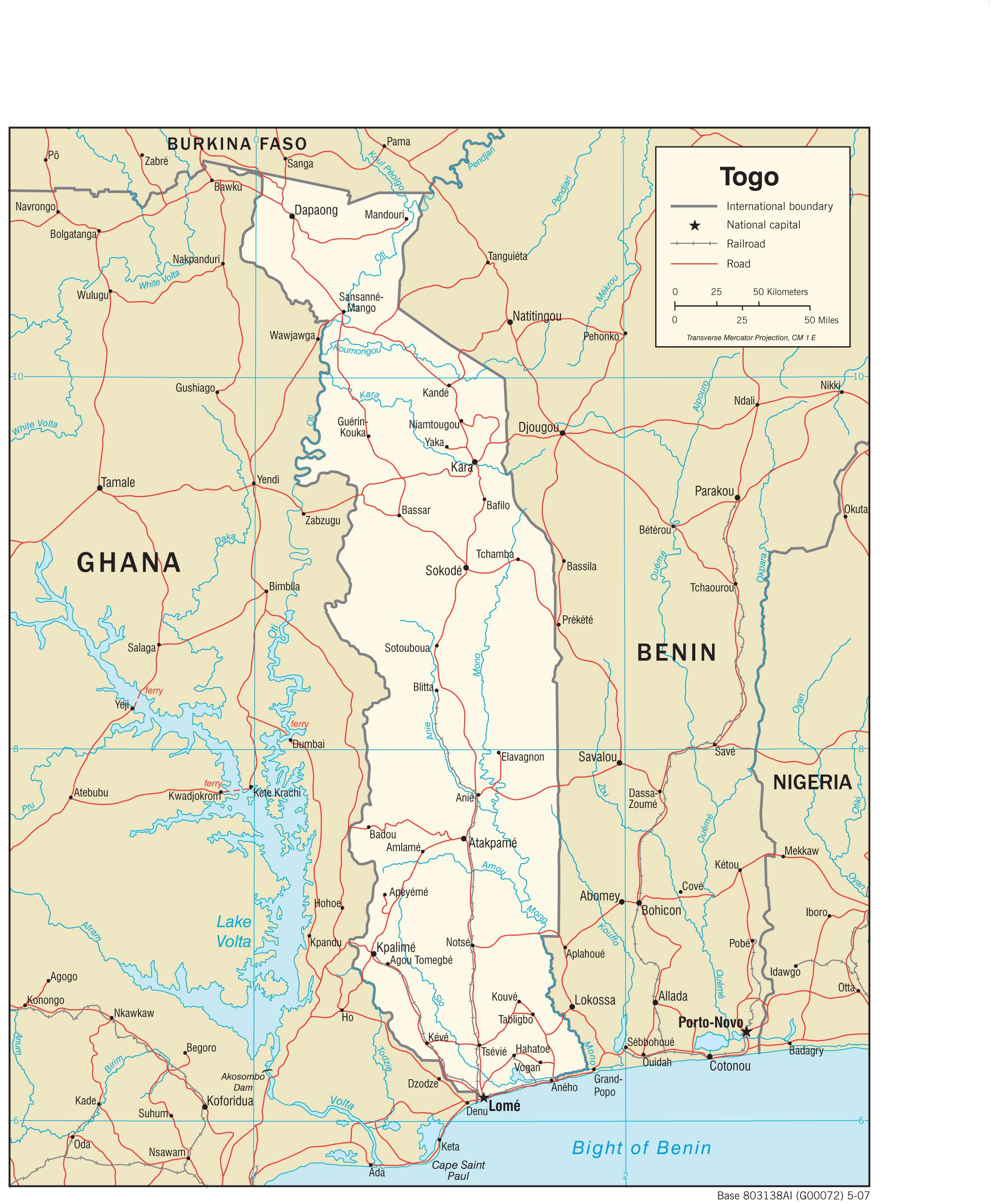
Togo is a country located in Western Africa, bordering the Gulf of Guinea. It shares its borders with three African countries, Burkina Faso to the north, Benin to the east, and Ghana to the west. The country is renowned for its picturesque beaches, lagoons, and hilltop villages. It is narrow in east-west direction, measuring only 160 km (99 mi) wide, but stretches to 579 km (360 mi) to the north. The capital and largest city of Togo is Lomé, while other major cities include Sokodé, Kara, and Kpalimé.

High Definition Political Map of Togo
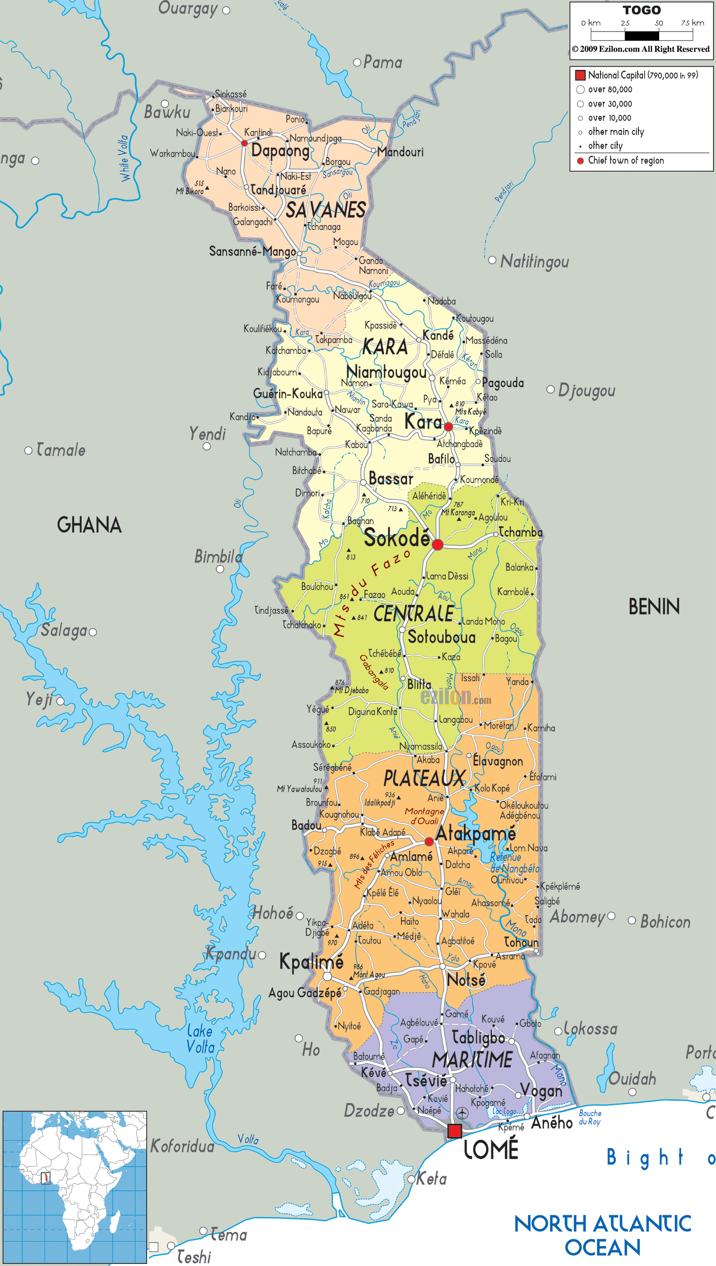
Togo Administrative Map
History
Archaeological finds indicate that tribes were able to produce pottery and process iron. The name Togo is translated from the Ewe language as “behind the river”. During the period from the 11th century to the 16th century, tribes entered the region: the Ewé from the west, and the Mina and Gun from the east. Most of them settled in coastal areas. The Atlantic slave trade began in the 16th century, and for the next two hundred years the coastal region was a trading centre for Europeans in search of slaves, earning Togo and the surrounding region the name “The Slave Coast”.
In 1884, a paper was signed at Togoville with King Mlapa III, whereby Germany claimed a protectorate over a stretch of territory along the coast and gradually extended its control inland. Its borders were defined after the capture of hinterland by German forces and signing agreements with France and Britain. In 1905, this became the German colony of Togoland. The local population was forced to work, cultivate cotton, coffee, and cocoa and pay taxes. A railway and the port of Lomé were built for export of agricultural products. The Germans introduced techniques of cultivation of cocoa, coffee and cotton and developed the infrastructure.
During the First World War, Togoland was invaded by Britain and France, proclaiming the Anglo-French condominium. The Togoland Campaign involved the successful French and British invasion of the German colony of Togoland during the West African Campaign of the First World War. Following the Allied invasion of the colony in August 1914, German forces were defeated, forcing the colony’s surrender on 26 August 1914. On 7 December 1916, the condominium collapsed and Togoland was subsequently partitioned into British and French zones, creating the colonies of British Togoland and French Togoland. On 20 July 1922, Great Britain received the League of Nations mandate to govern the western part of Togo and France to govern the eastern part. In 1945, the country received the right to send three representatives to the French parliament.
After World War II, these mandates became UN Trust Territories. The residents of British Togoland voted to join the Gold Coast as part of the independent nation of Ghana in 1957. French Togoland became an autonomous republic within the French Union in 1959, while France retained the right to control the defense, foreign relations, and finances.
The Togolese Republic was proclaimed on 27 April 1960. In the first presidential elections in 1961, Sylvanus Olympio became the first president, gaining 100% of the vote in elections boycotted by the opposition. On 9 April 1961, the Constitution of the Togolese Republic was adopted, according to which the supreme legislative body was the National Assembly of Togo. In December 1961, leaders of opposition parties were arrested because they were accused of the preparation of an anti-government conspiracy. A decree was issued on the dissolution of the opposition parties. Olympio tried to reduce dependence on France by establishing cooperation with the United States, United Kingdom, and West Germany. He rejected the efforts of French soldiers who were demobilized after the Algerian War and tried to get a position in the Togolese army. These factors eventually led to a military coup on 13 January 1963 during which he was assassinated by a group of soldiers under the direction of Sergeant Gnassingbé Eyadéma. A state of emergency was declared in Togo. The military handed over power to an interim government led by Nicolas Grunitzky. In May 1963, Grunitzky was elected President of the Republic. The new leadership pursued a policy of developing relations with France. His main aim was to dampen the divisions between north and south, promulgate a new constitution, and introduce a multiparty system.
On 13 January 1967, Eyadéma Gnassingbé overthrew Grunitzky in a bloodless coup and assumed the presidency. He created the Rally of the Togolese People Party, banned activities of other political parties and introduced a 1-party system in November 1969. He was reelected in 1979 and 1986. In 1983, the privatization program launched and in 1991 other political parties were allowed. In 1993, EU froze the partnership, describing Eyadema’s re-election in 1993, 1998 and 2003, as a seizure of power. In April 2004, in Brussels, talks were held between the European Union and Togo on the resumption of cooperation.
Eyadéma Gnassingbé died on 5 February 2005. The military’s installation of his son, Faure Gnassingbé, as president provoked international condemnation, except from France. Some “democratically elected” African leaders such as Abdoulaye Wade of Senegal and Olusegun Obasanjo of Nigeria supported the move, thereby creating a rift within the African Union. Gnassingbé left power and held elections, which he won two months later. The opposition declared that the election results were fraudulent. The events of 2005 led to questions regarding the government’s commitment to democracy that had been made in an attempt to normalize relations with EU which cut off aid in 1993 due to questions about Togo’s human rights situation. Up to 400 people were killed in the violence surrounding the presidential elections, according to the UN. Around 40,000 Togolese fled to neighboring countries. Gnassingbé was reelected in 2010 and 2015.
In 2017, anti-government protests erupted. UN condemned the resulting crackdown by security forces, and Gambia’s foreign minister, Ousainou Darboe, had to issue a correction after saying that Gnassingbé should resign.
In the February 2020 presidential elections, Faure Gnassingbé won his fourth presidential term in office as the president of Togo. According to the official result, he won with a margin of around 72% of the vote share. This enabled him to defeat his closest challenger, the former prime minister Agbeyome Kodjo who had 18%. On 4 May 2020, Bitala Madjoulba, the commander of a Togolese military battalion, was found dead in his office. The day of Madjoulba’s death came after the re-elected Faure Gnassingbé had his investiture. An investigation has been opened for this case and all individuals around his death are being questioned.
Togo joined the Commonwealth in June 2022. Prior to its admission at the 2022 Commonwealth Heads of Government Meeting, Foreign Minister Robert Dussey said that he expected Commonwealth membership to provide new export markets, funding for development projects and opportunities for Togolese citizens to learn English and access new educational and cultural resources.
Physical Map of Togo
Geography
It has an area equal to 56,785 km (21,925 sq mi). It borders the Bight of Benin in the south; Ghana lies to the west; Benin to the east; and to the north, it is bound by Burkina Faso. It lies mostly between latitudes 6° and 11°N, and longitudes 0° and 2°E.
The coast of Togo in the Gulf of Guinea is 56 km (35 miles) long and consists of lagoons with sandy beaches. In the north, the land is characterized by a rolling savanna in contrast to the center of the country, which is characterized by hills. The south of Togo is characterized by a savanna and woodland plateau which reaches a coastal plain with lagoons and marshes. The highest mountain of the country is the Mont Agou at 986 metres (3235′) above sea level. The longest river is the Mono River with a length of 400 km (250 miles). It runs from north to south.
The climate is “generally tropical” with average temperatures ranging from 23 °C (73 °F) on the coast to about 30 °C (86 °F) in the northernmost regions, with a drier climate and characteristics of a tropical savanna.
Togo contains three terrestrial ecoregions: Eastern Guinean forests, Guinean forest-savanna mosaic, and West Sudanian savanna. The coast of Togo is characterized by marshes and mangroves. The country had a 2019 Forest Landscape Integrity Index mean score of 5.88/10, ranking it 92nd globally out of 172 countries.
At least five parks and reserves have been established: Abdoulaye Faunal Reserve, Fazao Malfakassa National Park, Fosse aux Lions National Park, Koutammakou, and Kéran National Park.
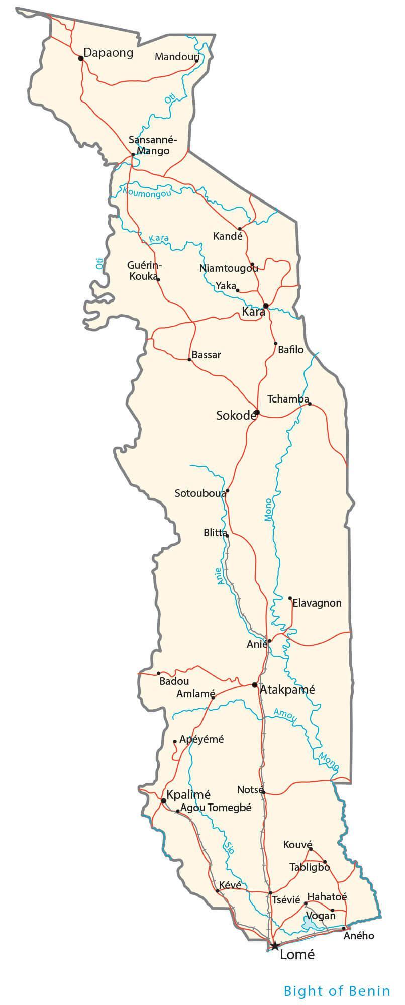
Transportation Map of Togo
Togo Satellite Map