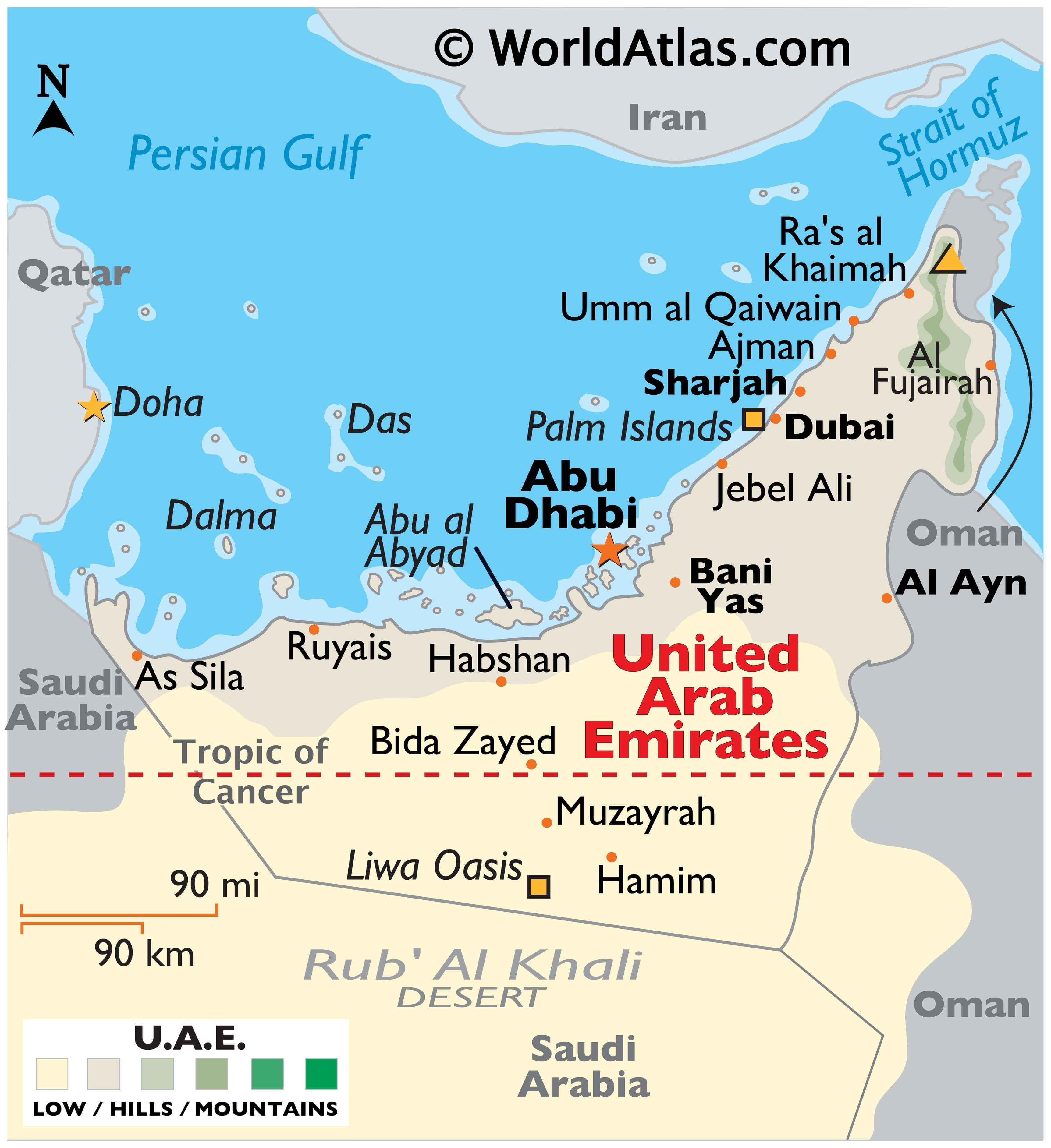
The United Arab Emirates (UAE) covers an area of around 83,600 square km (32,300 square miles) in the Arabian Peninsula.
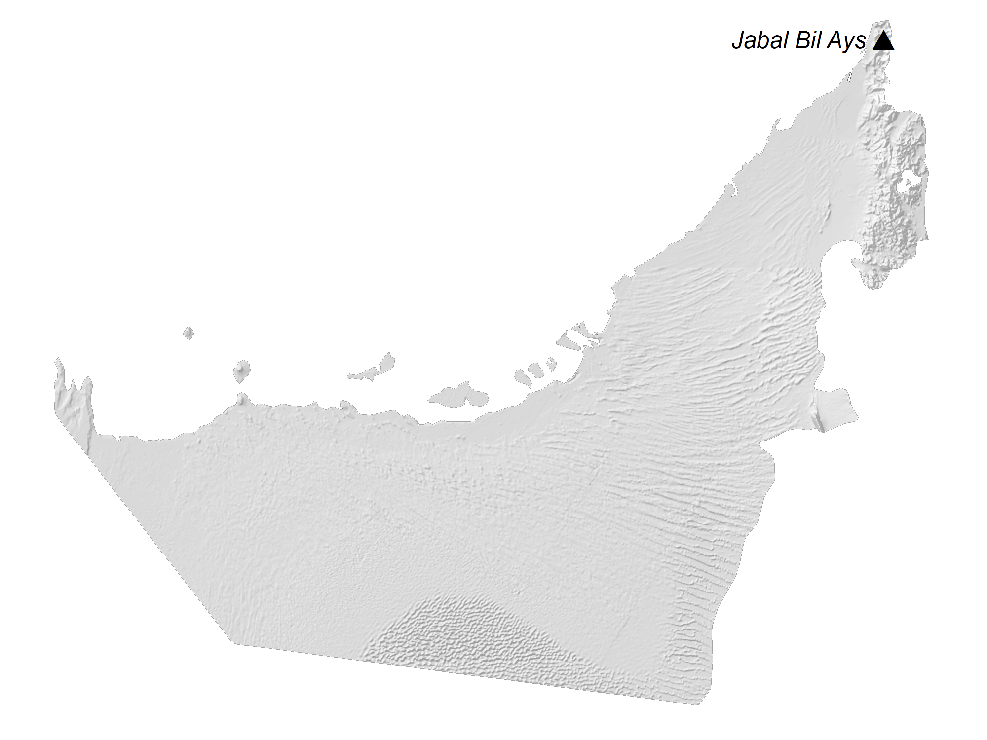
As observed on the physical map of the country above, most of the United Arab Emirates is a desert wasteland, with large, rolling sand dunes, as the outer reaches of the Rub’ Al Khali Desert stretch into the country.
The coastal areas fronting the Persian Gulf are flat, while the Hajar Mountains dominate the landscape in the northeast. Jabal Yibir, the country’s highest point, is located there, which rises to 5,666 ft. (1,727 m). A yellow triangle marks its position on the map.
The United Arab Emirates has no significant rivers or lakes of note.
Numerous small islands and inlets are situated offshore in the Persian Gulf.
| Flag: |  |
|---|---|
| Legal Name: | United Arab Emirates |
| Capital Value: | Abu Dhabi |
| Official languages: | Arabic |
| Demonym(s): | Emirati |
| Government: | Federal Islamic parliamentary elective semi-constitutional monarchy |
| Legislature: |
|
| Total Area: | 83,600 km² |
| Land Area: | 83,600 km² |
| Population: | 9,770,529 |
| Density: | 121/km (313.4/sq mi) (110th) |
| GDP: | $421.14 Billion |
| GDP Per Capita: | $43,103.32 |
| Currency Value: | Emirati dirhams (AED) |
| Driving side: | right |
| Calling code: | +971 |
| Internet TLD: |
|
The United Arab Emirates is a diverse country that is home to some of the most stunning landscapes and landmarks in the world. From its sprawling cities and highways to its magnificent islands and mountains, this map of the UAE showcases the beauty and splendor of this amazing country.
From the rolling sand dunes of the desert to the rugged Al-Hajar Mountains to the east, this map of the United Arab Emirates offers an in-depth look at the country’s topography. The map also highlights the country’s major cities, highways, and islands, giving visitors and residents alike a better understanding of the region.
Explore the wonders of the United Arab Emirates with this detailed map. It’s the perfect way to get to know the country and its breathtaking landscapes.
Online Interactive Political Map
Click on ![]() to view map in "full screen" mode.
to view map in "full screen" mode.
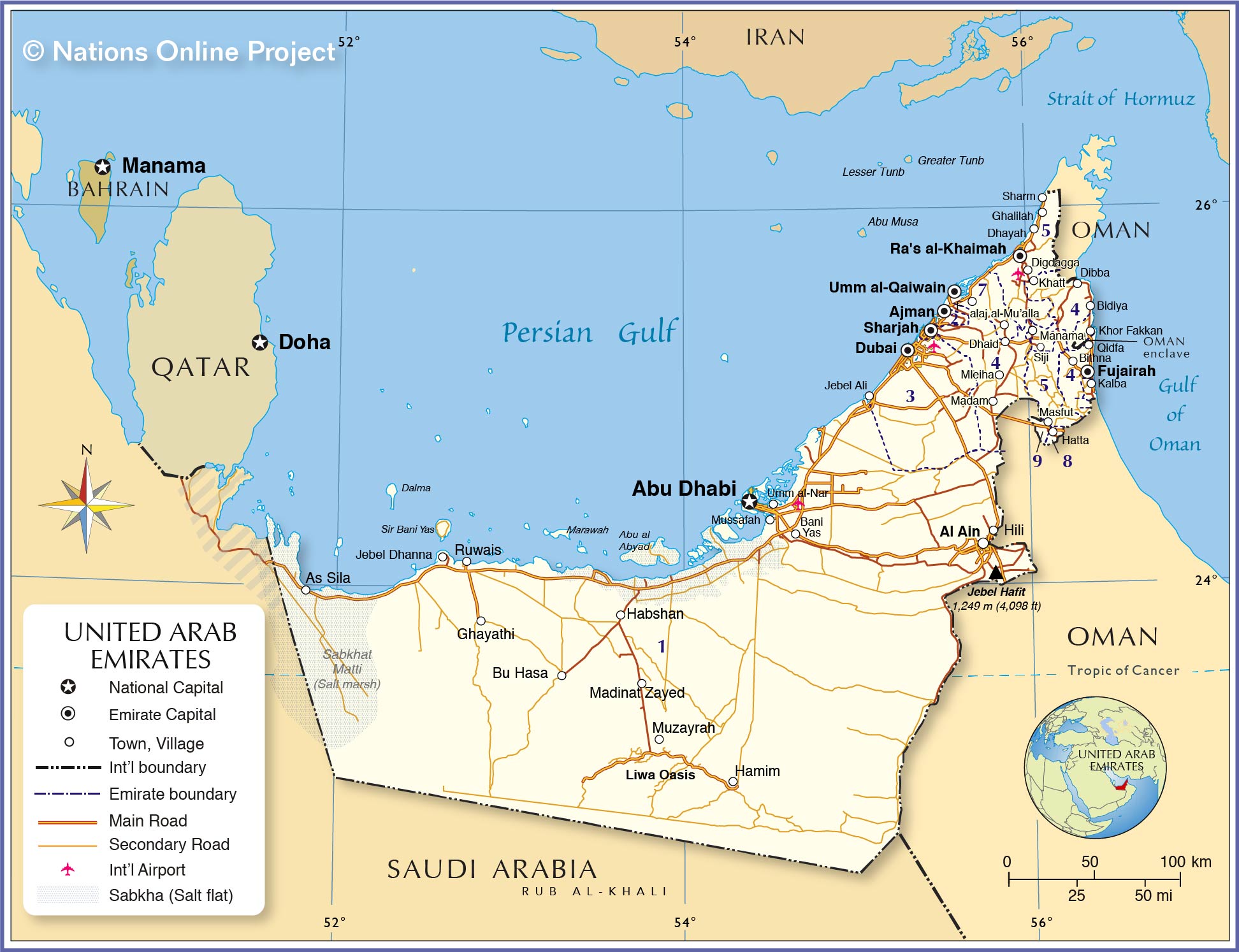
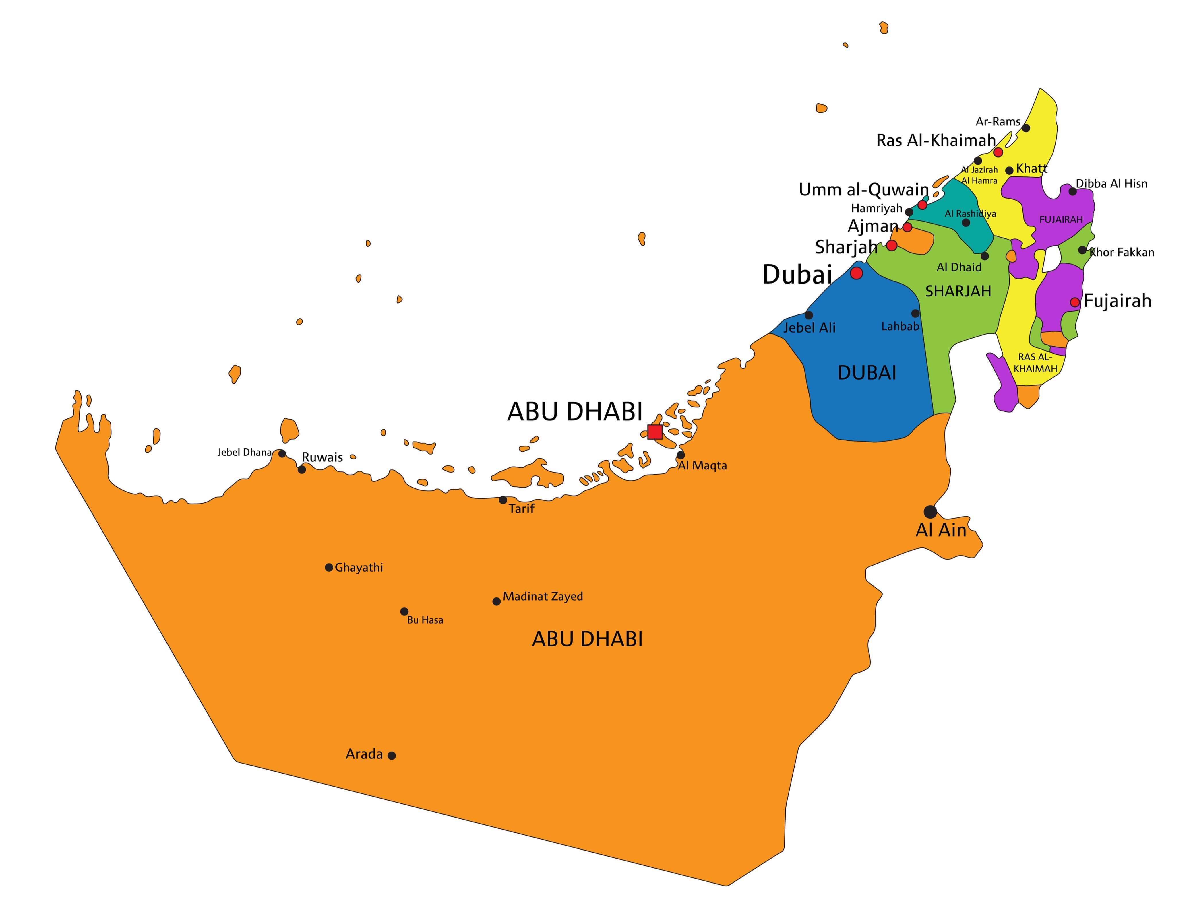
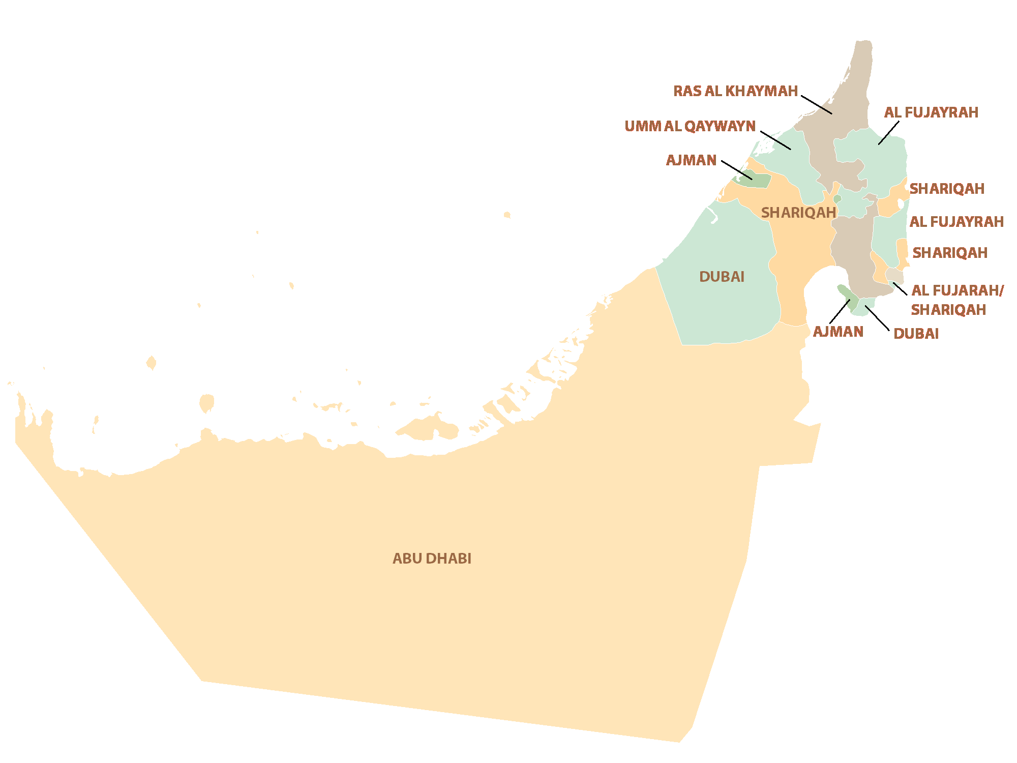
United Arab Emirates (UAE) is divided into 7 Emirates (imarat, sing. imarah). In alphabetical order, these Emirates are: AbuZaby (Abu Dhabi), ‘Ajman, Dubayy (Dubai), Al Fujayrah, Ra’sal Khaymah, Ash Shariqah (Sharjah), and Umm al Qaywayn.
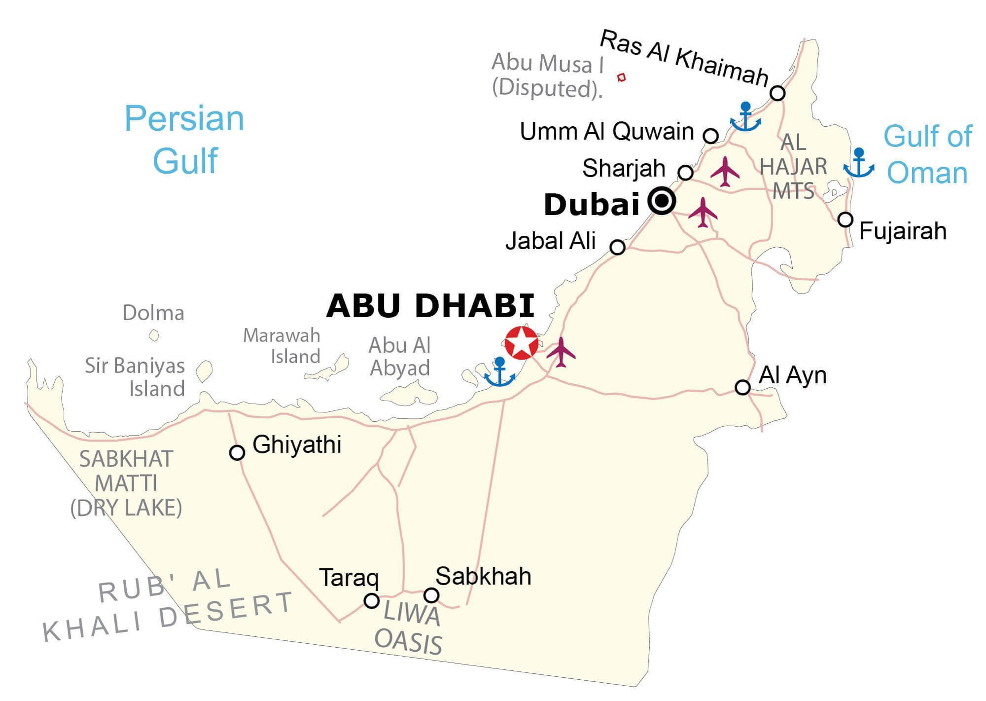
Located along the southern coasts of the Persian Gulf, at the south western part of the country, is the city of Abu Dhabi – the national capital of UAE. With an area of 67,340 sq. km, The Emirate of Abu Dhabi is the largest and the second most populous emirate of UAE. Abu Dhabi is also the country’s leading cultural, political and economic center. With a population of over a million inhabitants, Dubai is the largest and the most populous city of UAE. Dubai is a global city and a major international aviation hub. Dubai is also one of the biggest cosmopolitan cities of the world and an important business hub of the Middle East.
Location Maps
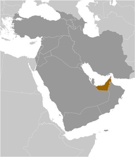
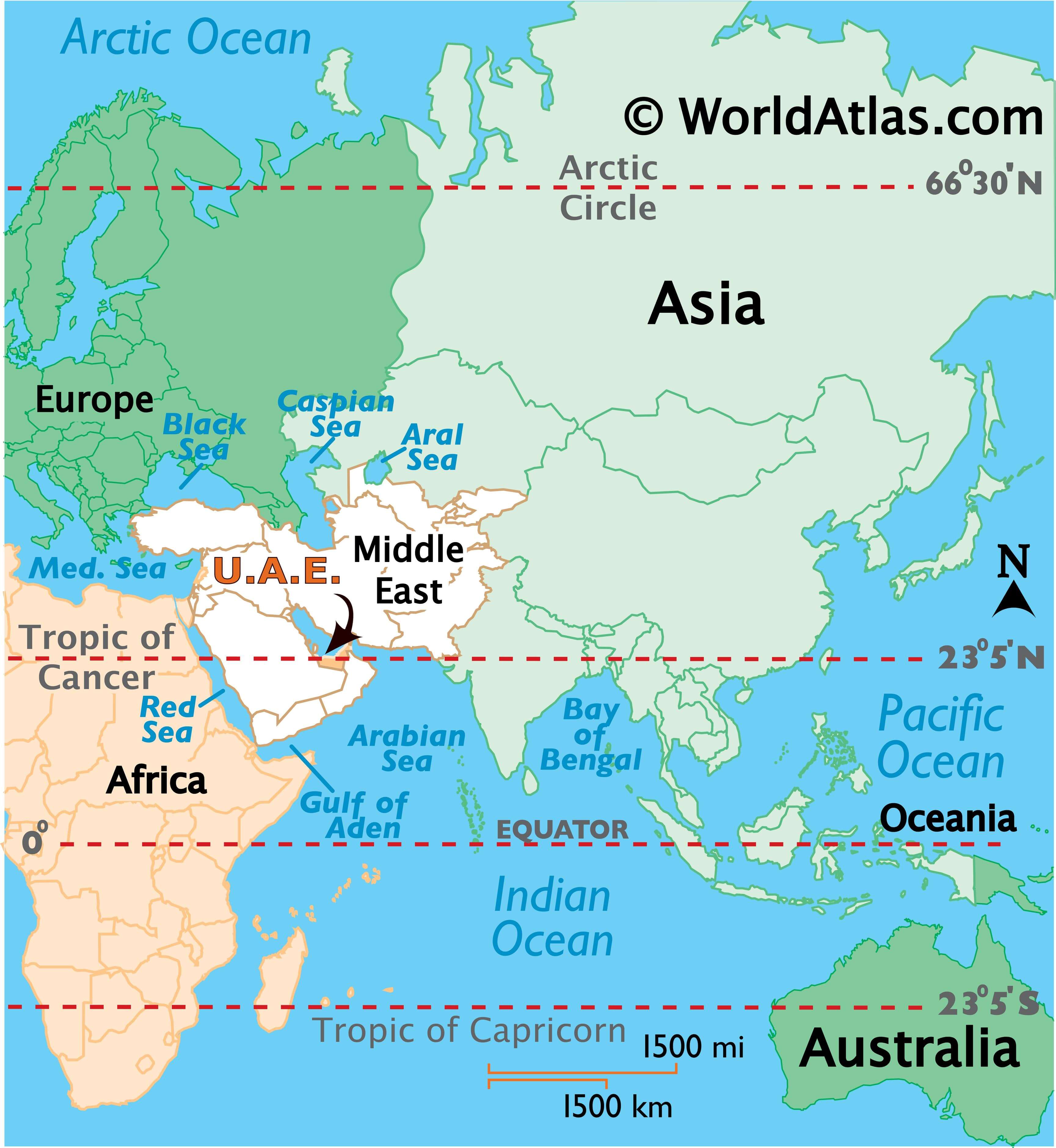
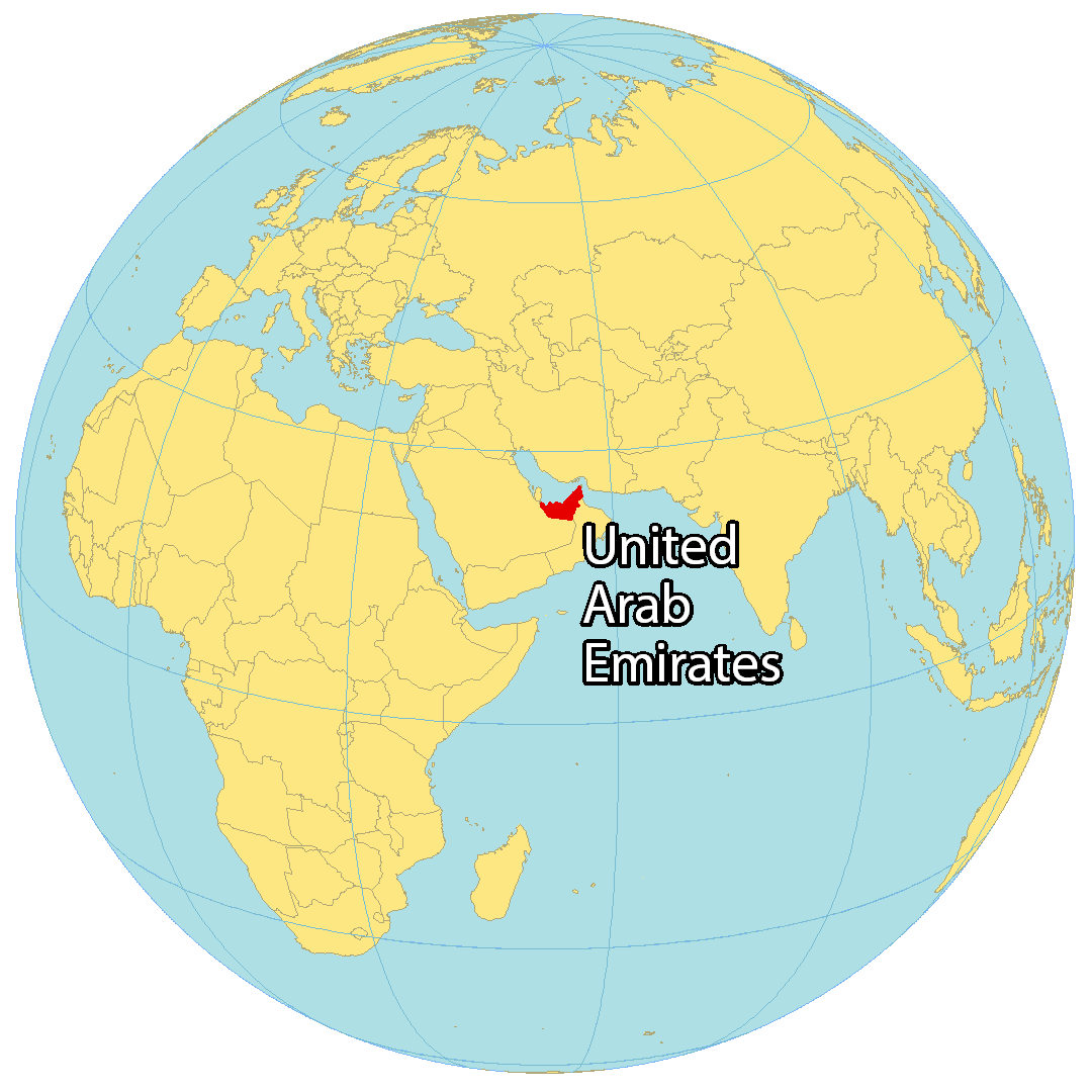
Where is United Arab Emirates?
The United Arab Emirates (UAE) is a Middle Eastern country that lies along the coastline of the Gulf of Oman and the Persian Gulf. The nation is bordered by just two countries: Saudi Arabia to the southwest and Oman to the east. The UAE consists of seven independent city-states, with Abu Dhabi as the capital and Dubai as the most populous. The other five are Sharjah, Umm al-Qaiwain, Fujairah, Ajman, and Ras al-Khaimah. The UAE is a major hub for crude oil transit, and is well known for its industrial capabilities.
High Definition Political Map of United Arab Emirates

United Arab Emirates Administrative Map
Physical Map of United Arab Emirates

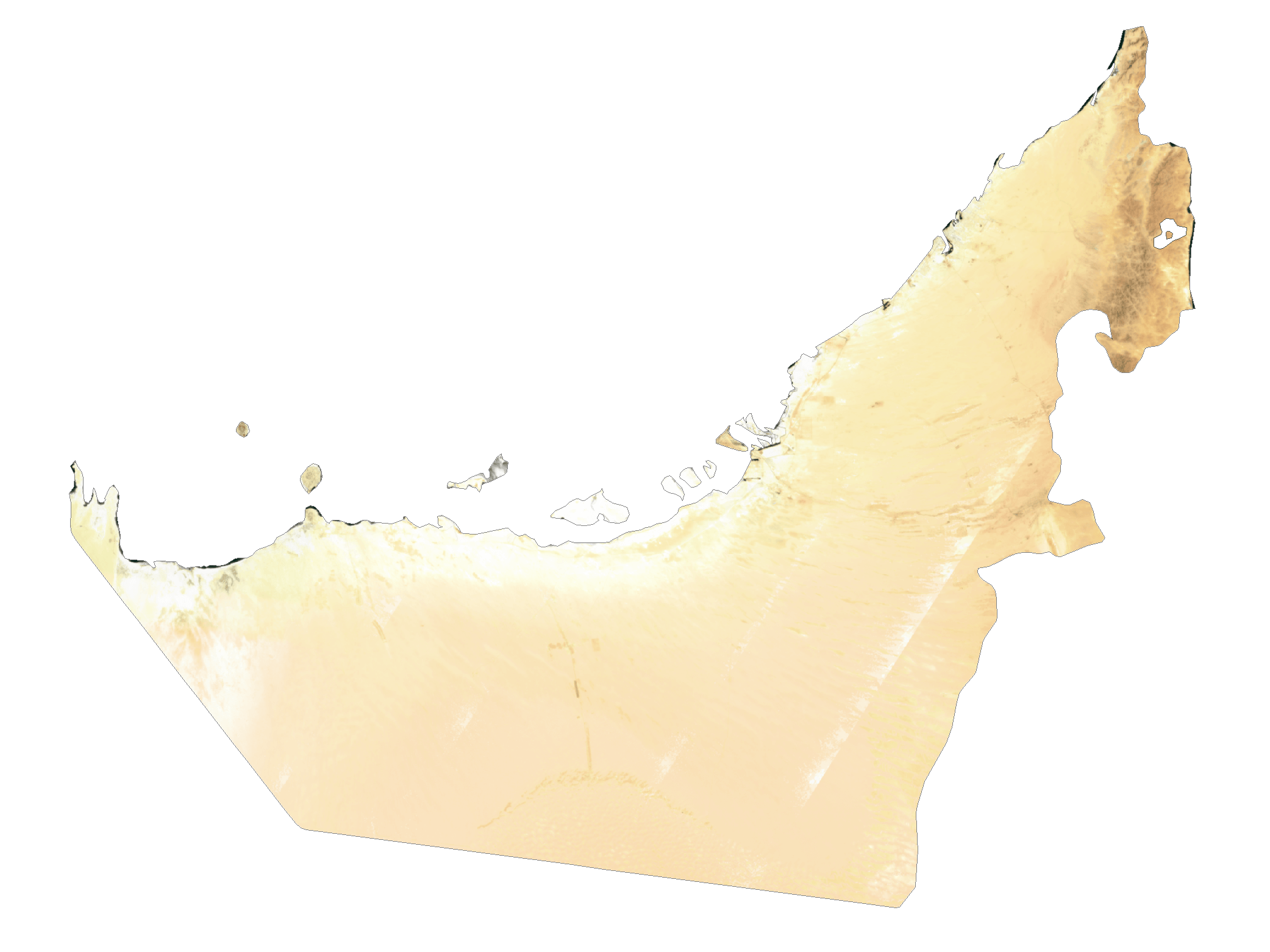
United Arab Emirates Satellite Map
Elevation Map