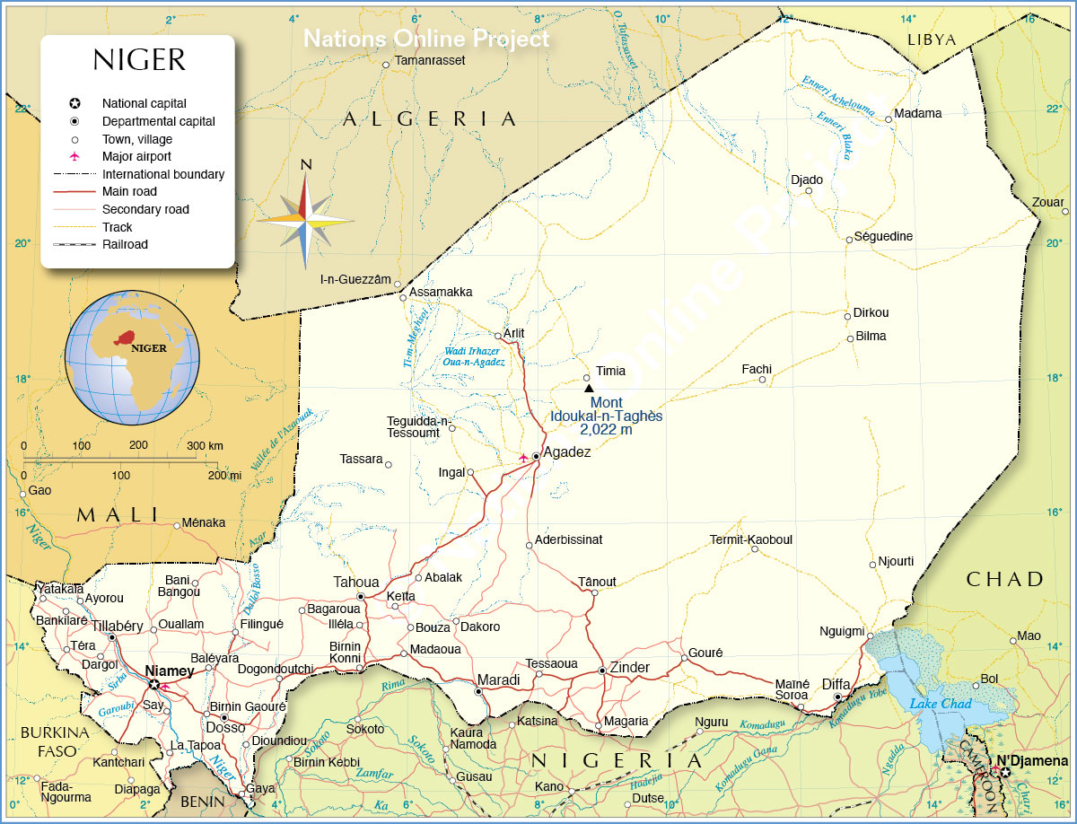
The landlocked West African country of Niger occupies an area of 1,267,000 sq. km.
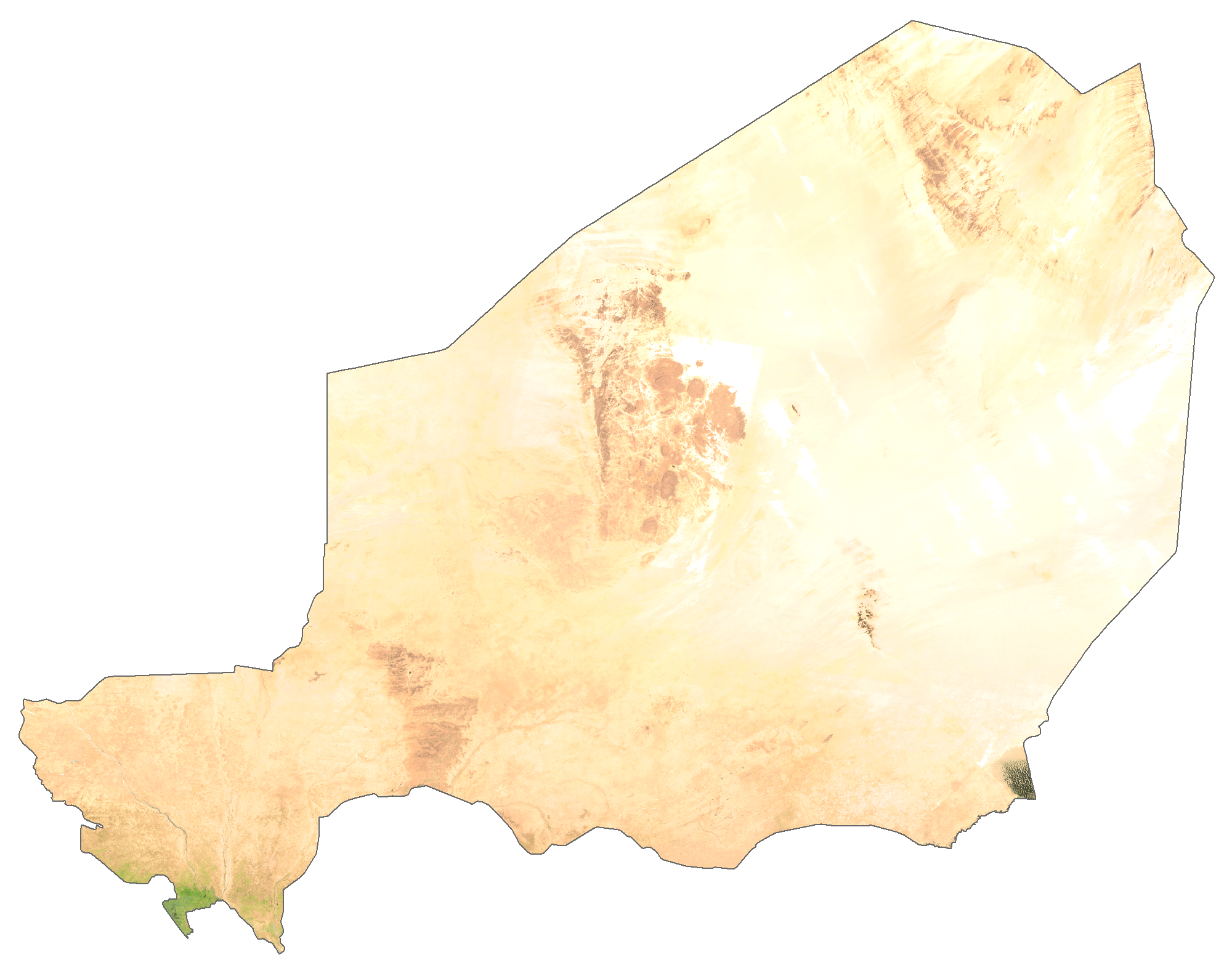
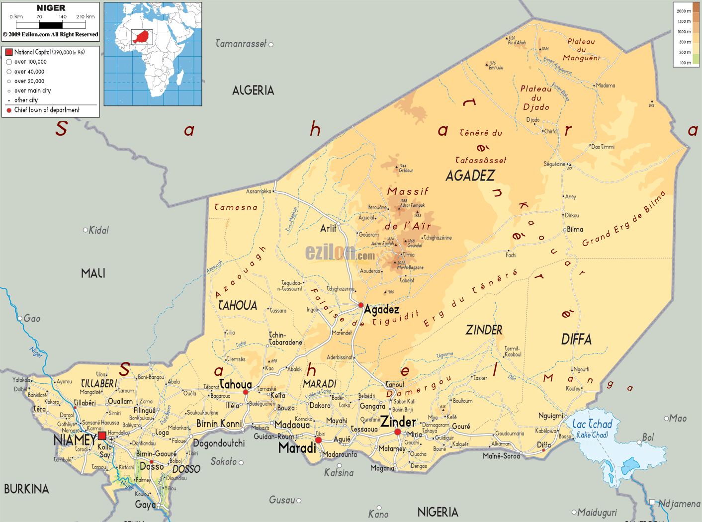
As visible on the physical map above, large parts of Niger is covered by the Sahara Desert.
In the north, the Air Mountains punctuate the Sahara desert in a north-south direction with a series of nine massifs. The highest point of the country, Mont Idoukal-n-Taghes at 2,022 m (marked on the map), is located in the south-central region of the Air Mountains.
Another highland region is found to the northeast and comprises a series of high plateaus including Djado, Mangueni, and Tchigaï in the west to east direction.
The Tenere Desert (shown on the map), part of the Sahara, is covered by an erg and a reg.
The southern part of the country features a stretch of the Sahel region that extends from the southwestern border with Burkina Faso to Lake Chad in the southeast.
The Niger River is the main river of the country and has the lowest point of the nation at 200 m. The Niger River basin and Lake Chad basin are the major drainage basins in Niger.
| Flag: |  |
|---|---|
| Legal Name: | Republic of Niger |
| Capital Value: | Niamey |
| Official languages: |
|
| Demonym(s): | Nigerien |
| Government: | Unitary semi-presidential republic |
| Legislature: | National Assembly |
| Total Area: | 1,000,000 km² |
| Land Area: | 1,266,700 km² |
| Water Area: | 300 km² |
| Population: | 23,310,715 |
| Density: | 12.1/km (31.3/sq mi) |
| GDP: | $12.93 Billion |
| GDP Per Capita: | $554.60 |
| Currency Value: | Communaute Financiere Africaine francs (XOF) |
| Driving side: | right |
| Calling code: | +227 |
| Internet TLD: | .ne |
Discover Niger’s diverse landscapes with this comprehensive map. From the lush wetlands of the Niger River to the vast desert of the Sahara, explore the many wonders this African nation has to offer. Get an up-close look at major cities, towns, highways, roads, lakes, and rivers with this interactive map. See the Sahara Desert in all its glory as you view an elevation map and satellite imagery. Embark on a journey of discovery with this map of Niger.
Online Interactive Political Map
Click on ![]() to view map in "full screen" mode.
to view map in "full screen" mode.
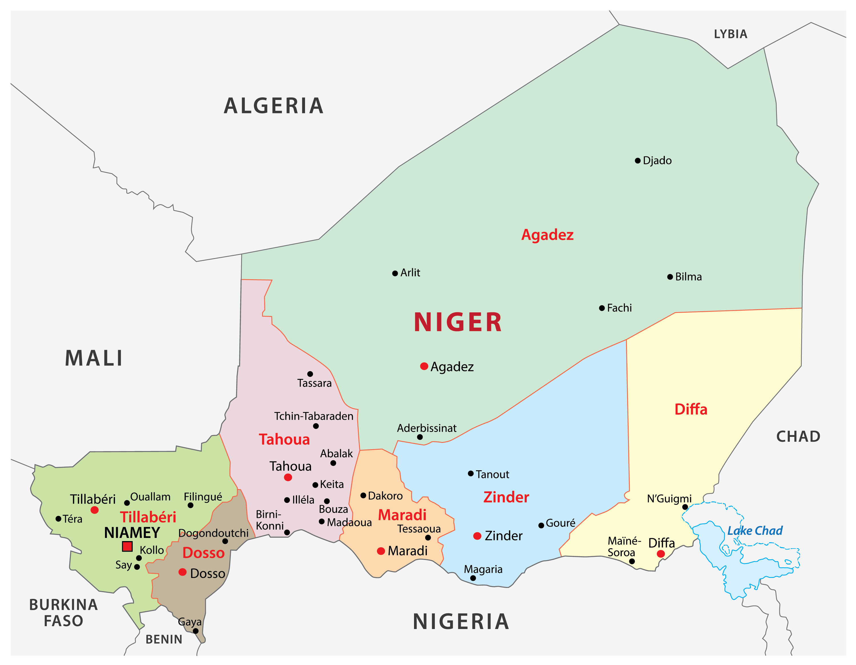
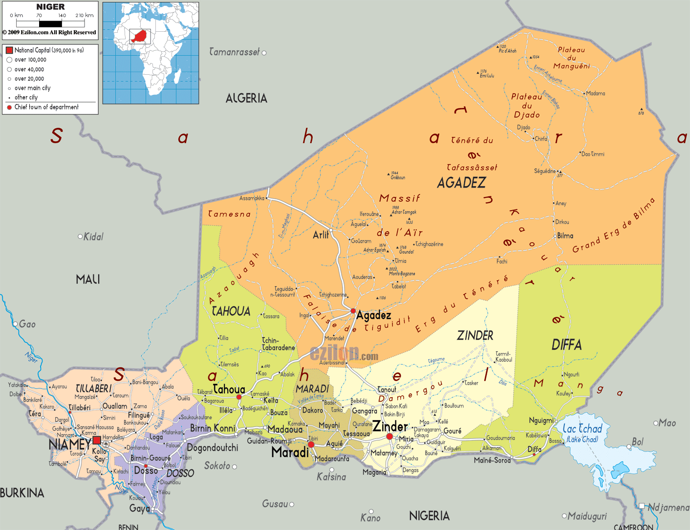
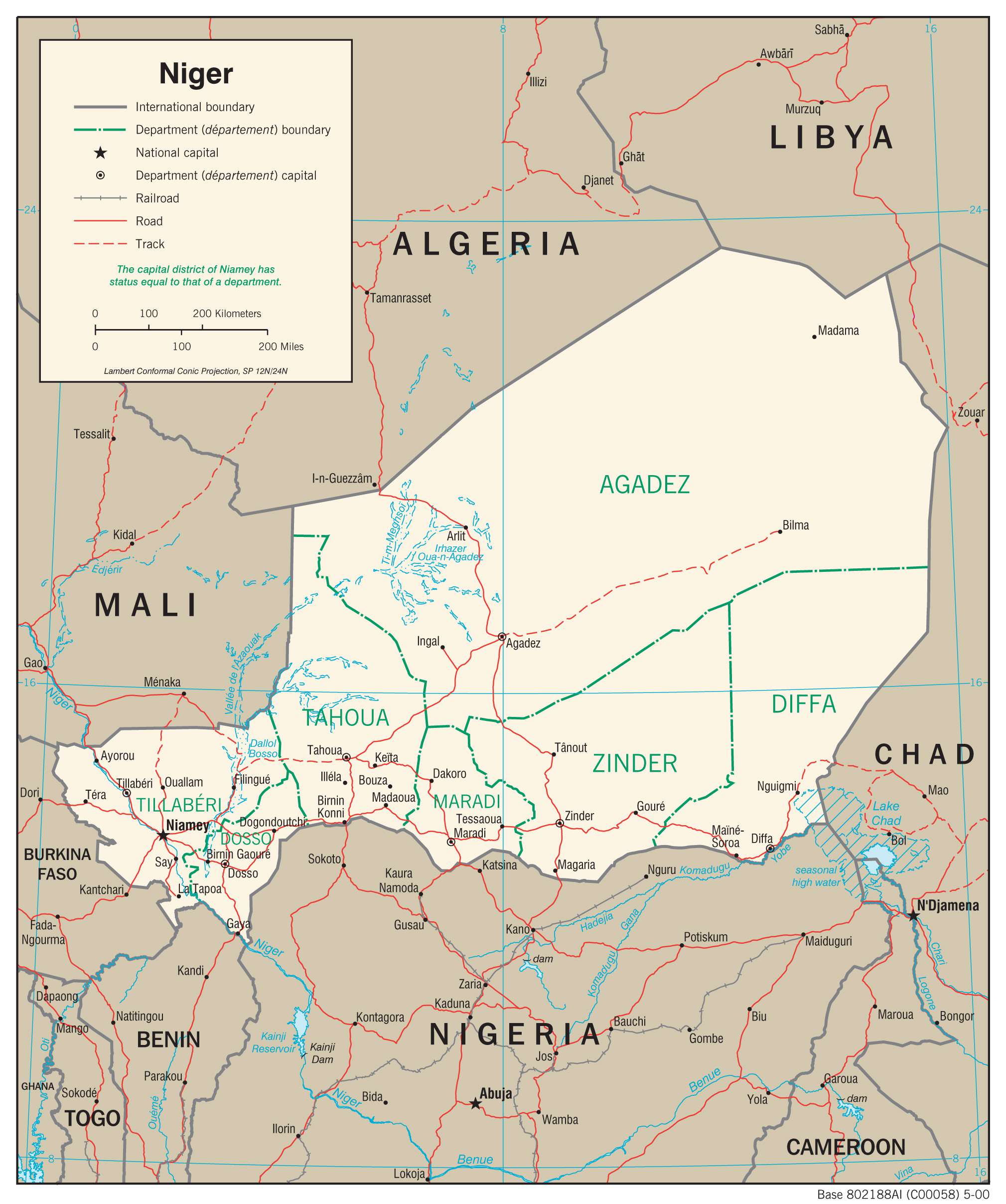
Niger has seven major administrative divisions called regions. They are Agadez, Diffa, Dosso, Maradi, Tahoua, Tillaberi, and Zinder. The country also has a capital district called Niamey which serves as the national capital.
The regions of Niger are further subdivided into Departments and communes. Several other smaller divisions make governance more convenient.
With an area of 667,799 sq. km, Agadez is the largest region of Niger by area while Zinder is the most populous one.
Location Maps
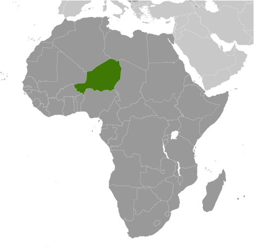
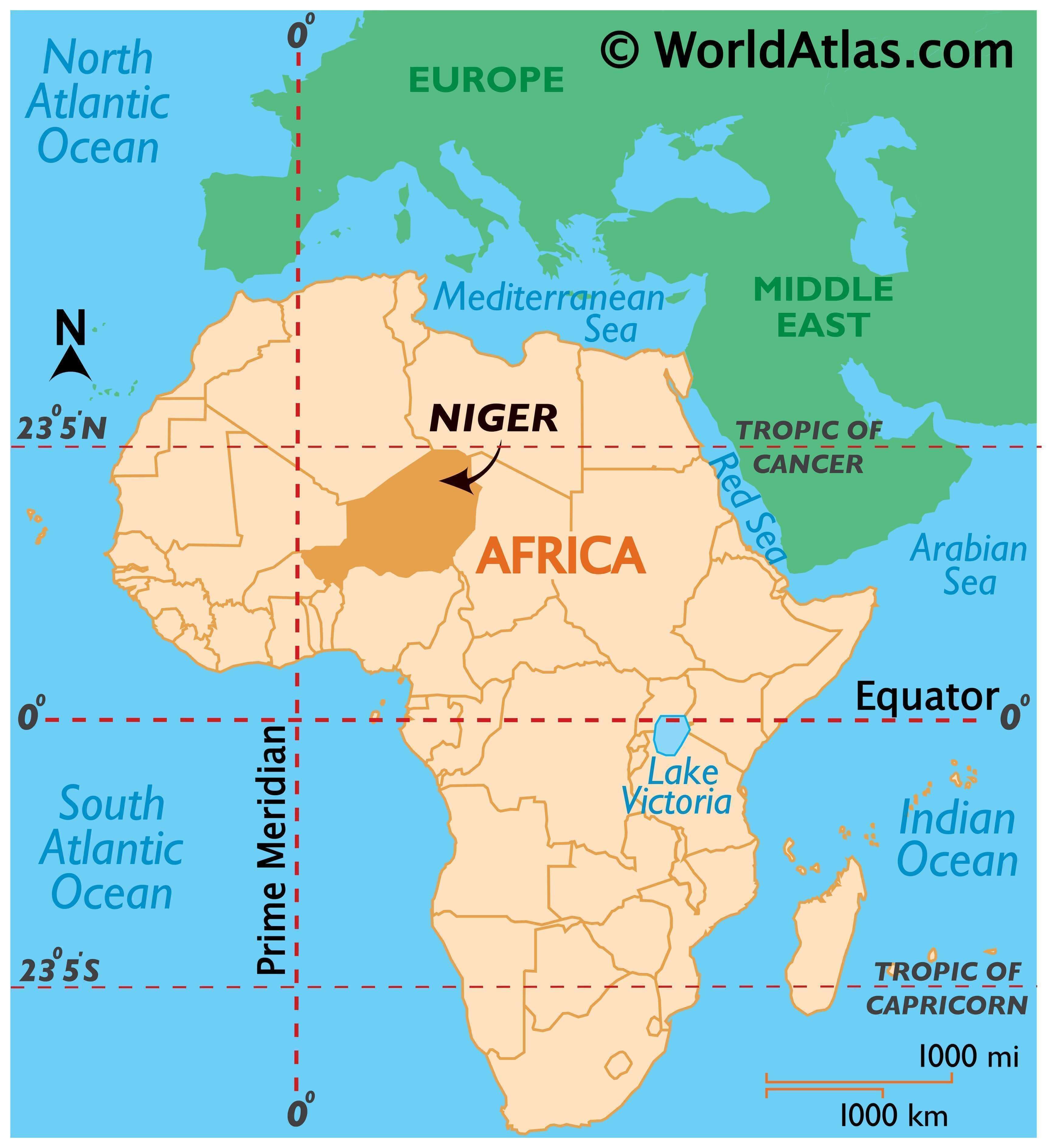
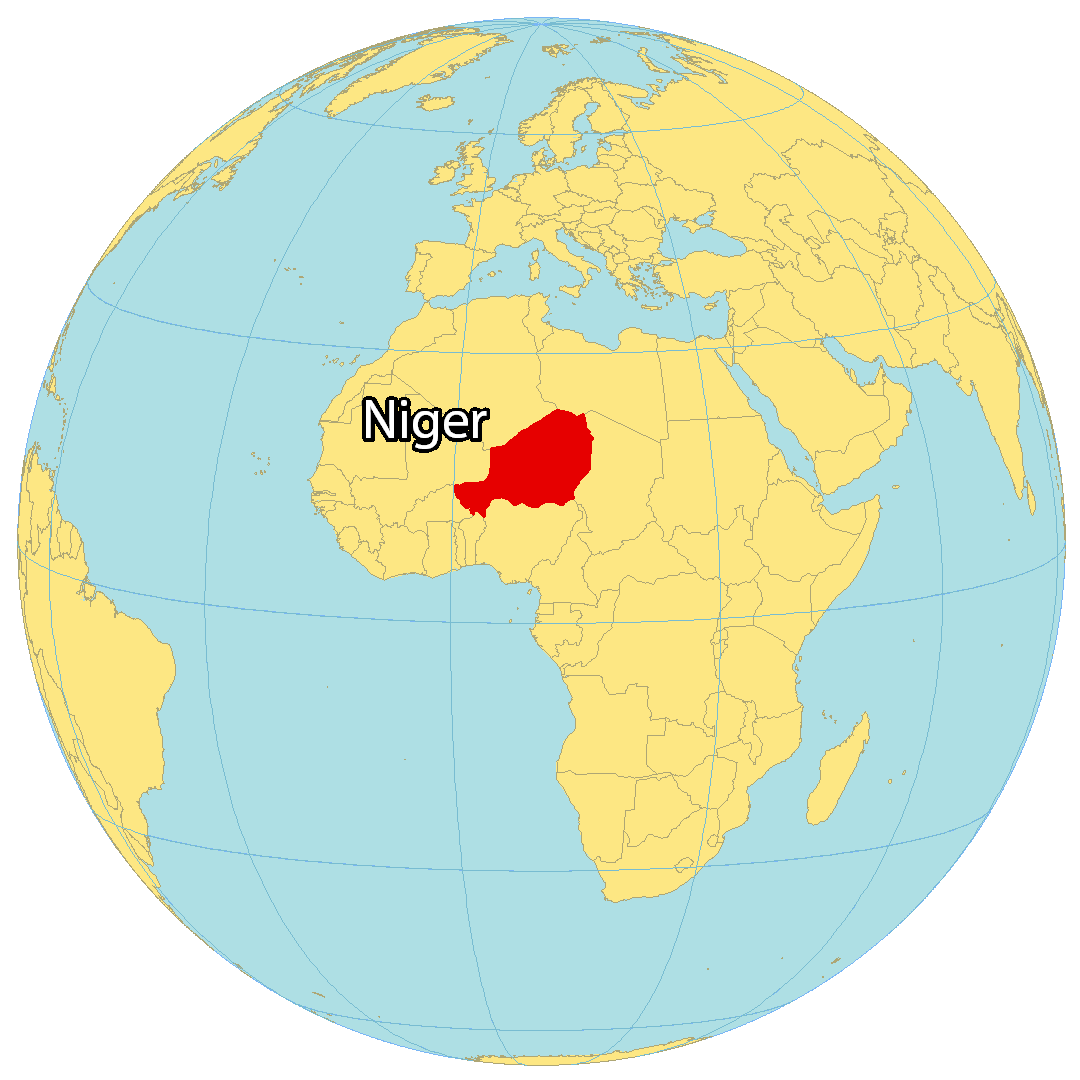
Where is Niger?
Niger: The Frying Pan of the World
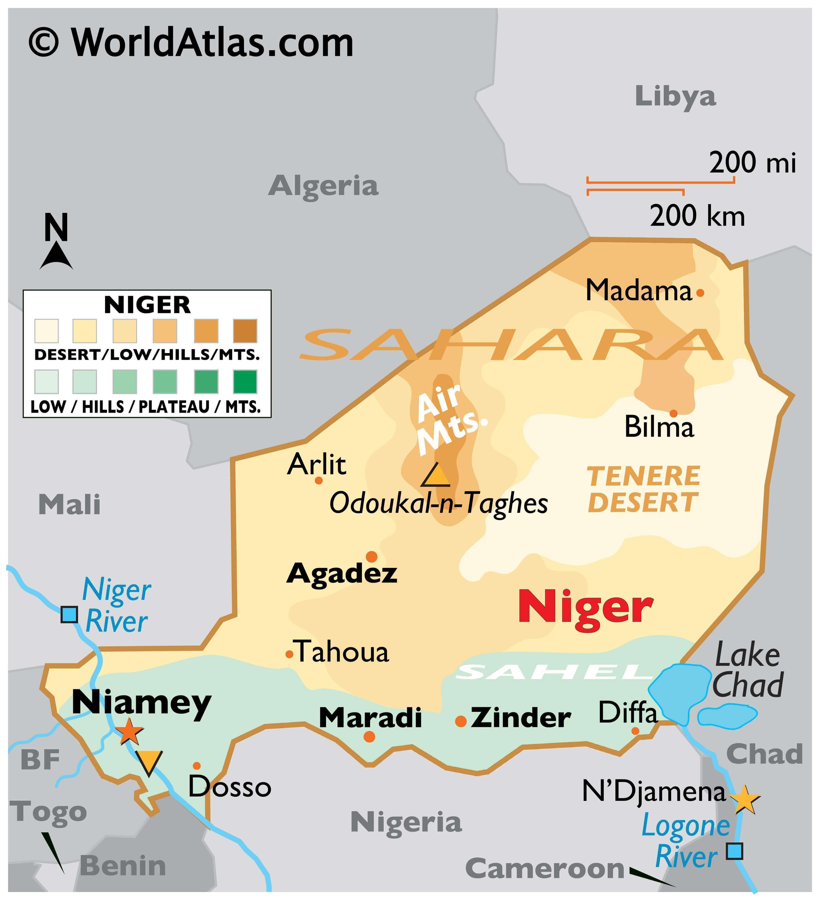
Niger is a landlocked nation in West Africa, a region that is known for its intense heat. In fact, Niger has earned the nickname “Frying Pan of the World” due to its average temperatures ranging from 17°C to 41°C. This extreme heat is due in part to the fact that the Sahara Desert covers 80% of the country.
Niger lies between 12°N and 23°N above the equator, resulting in a dry and hot climate. The United Nations has classified Niger as one of the least developed countries in the world. Niamey is the capital and largest city in Niger, followed by Zinder, Maradi, and Agadez.
High Definition Political Map of Niger
History
Niger is a landlocked country located in West Africa, with a long and complex history dating back thousands of years. The region was initially inhabited by various ethnic groups, including the Tuareg, Fulani, and Hausa peoples.
In the 7th century, the region came under the influence of Islam, which spread across North Africa and into West Africa. Over time, Islam became an important part of the region’s culture and identity.
During the 19th century, Niger became a part of the French colonial empire, and the country remained under French rule until it gained independence in 1960. The French authorities imposed their own legal and administrative systems on the country, and worked to suppress local customs and traditions.
After independence, Niger was ruled by a series of military and civilian governments, many of which were marked by corruption, authoritarianism, and political instability. However, the country has also made progress in promoting democracy and human rights in recent years.
Niger is one of the poorest countries in the world, and the majority of its population lives in poverty. The country faces significant economic and social challenges, including droughts, food insecurity, and a lack of access to healthcare and education.
Despite these challenges, Niger has a rich cultural heritage and a diverse population, with over 20 different ethnic groups and languages spoken throughout the country. There is hope that Niger can overcome its challenges and build a brighter future for its people.
Physical Map of Niger
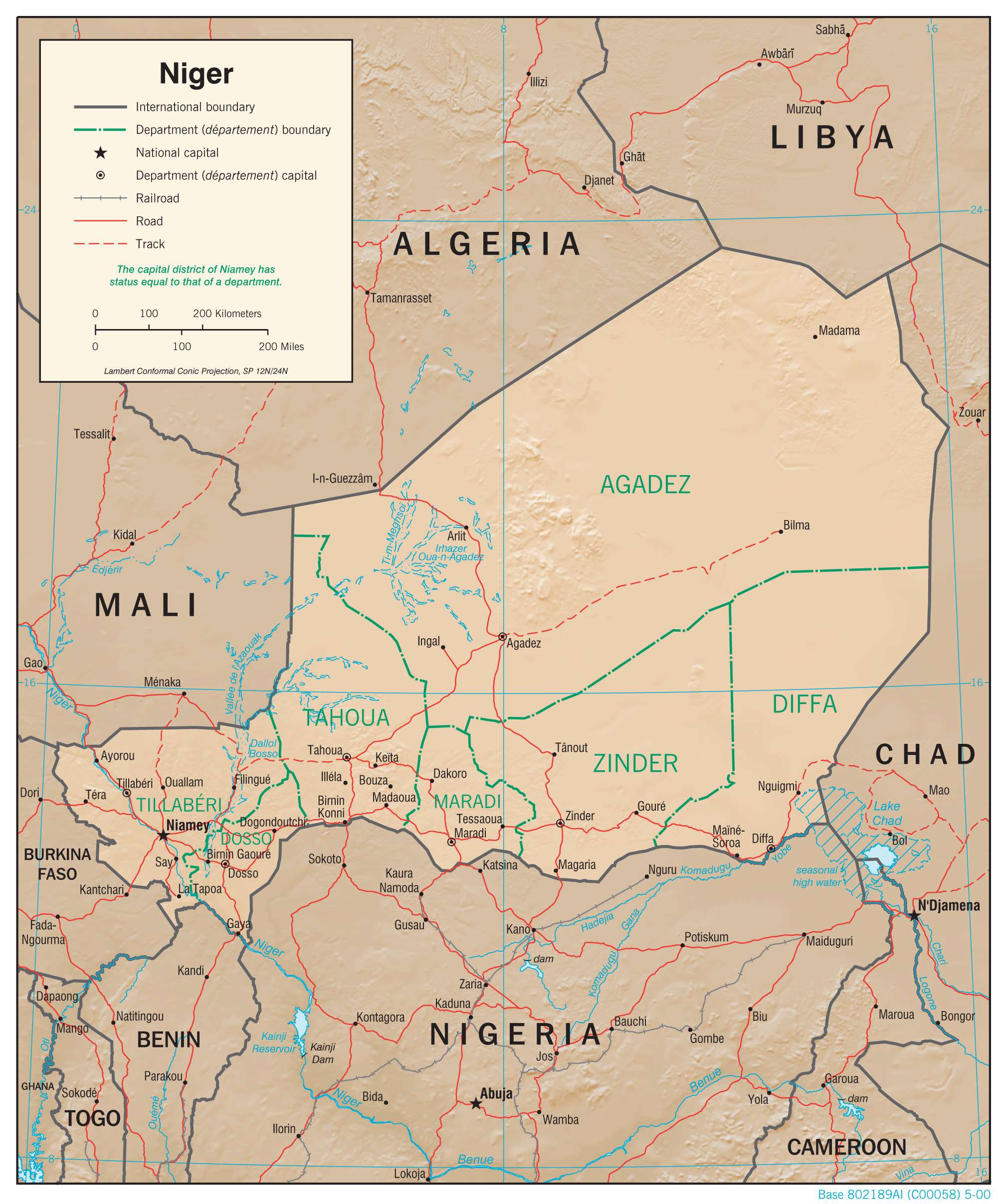
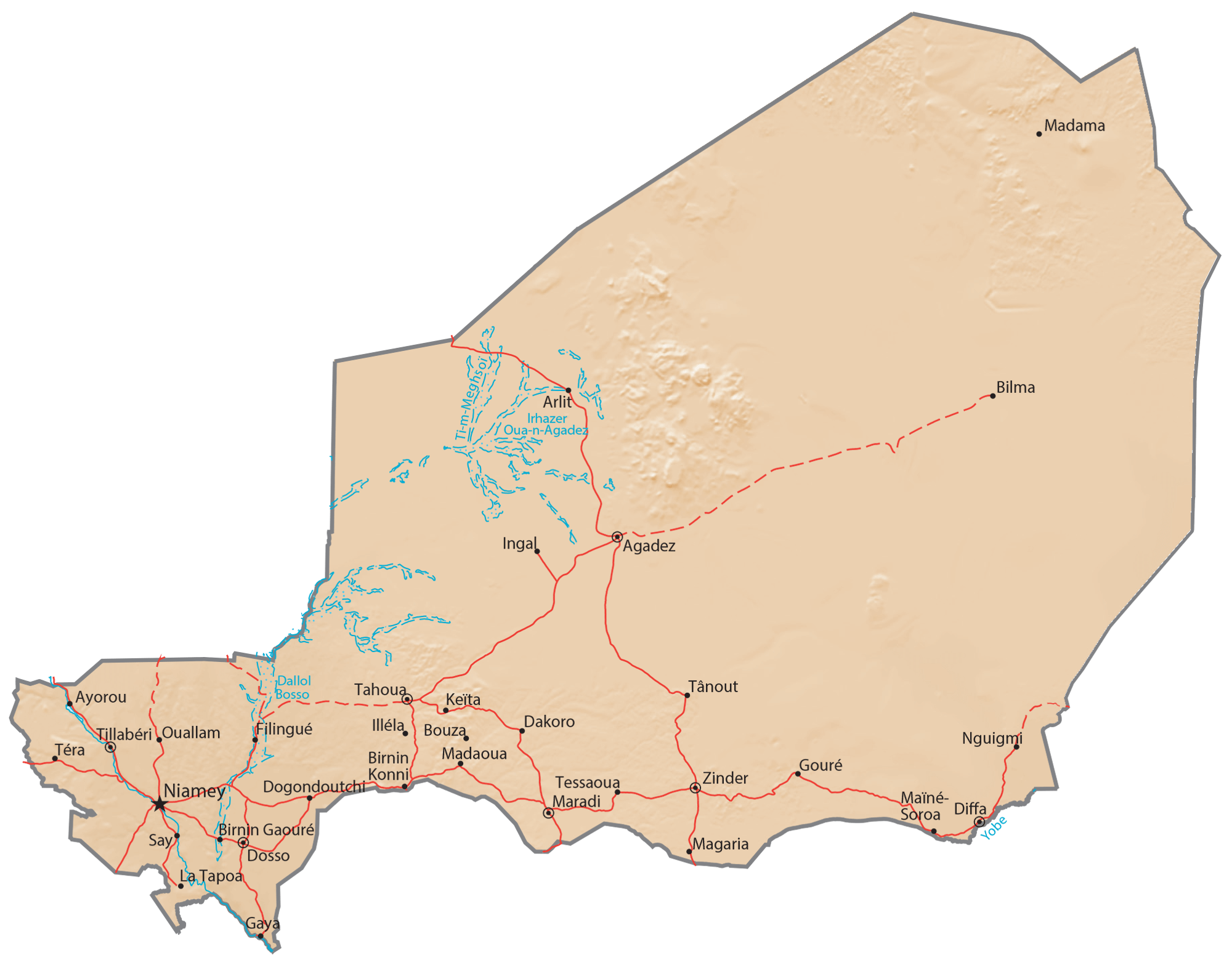
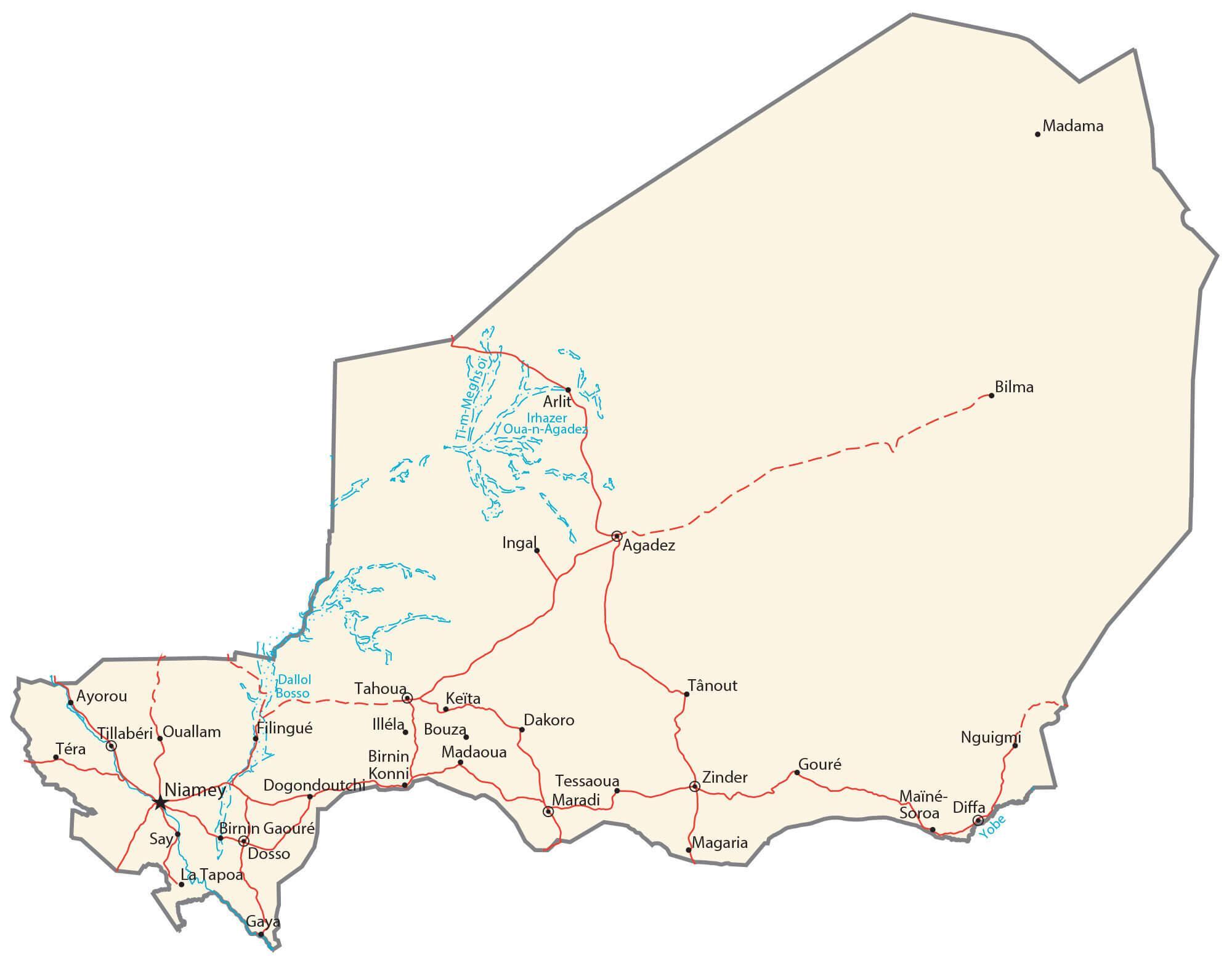
Transportation Map of Niger
Niger Satellite Map