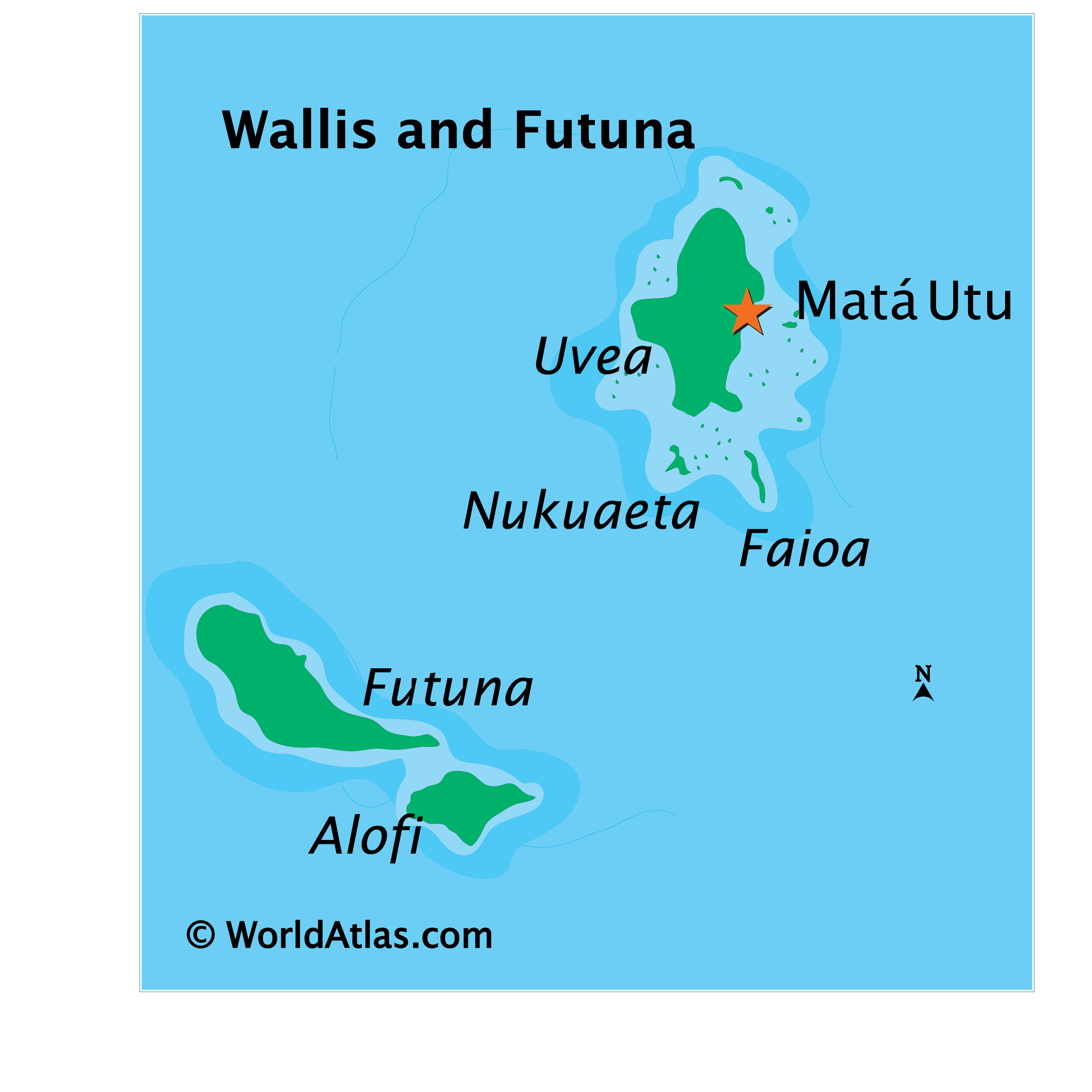
Covering a land area of 142.42 sq.km (54.99 sq mi), Wallis and Futuna Islands is an overseas collectivity of France, located in the south Pacific Ocean. The territory comprises of 3 principal volcanic islands and several small islets, split into two island groups the Wallis Islands and the Futuna Islands. Located on the Futuna Island is the island territory’s highest point – Mont Puke at an elevation of 524m (1,719ft).
| Flag: | 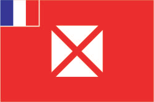 |
|---|---|
| Legal Name: | Territory of the Wallis and Futuna Islands |
| Capital Value: | Mata-Utu (on Ile Uvea) |
| Official languages: | French |
| Demonym(s): |
|
| Government: | Devolved parliamentary dependency |
| Legislature: | Territorial Assembly |
| Total Area: | 142 km² |
| Land Area: | 142 km² |
| Population: | 15,763 |
| Density: | 83.55/km (216.4/sq mi) (not ranked) |
| Currency Value: | Comptoirs Francais du Pacifique francs (XPF) |
| Driving side: | right |
| Calling code: | +681 |
| Internet TLD: | .wf |
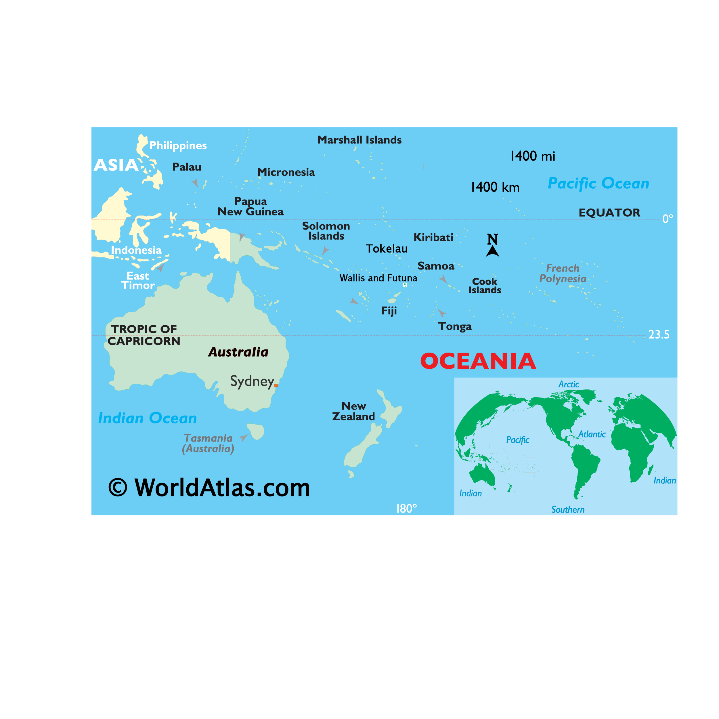
Online Interactive Political Map
Click on ![]() to view map in "full screen" mode.
to view map in "full screen" mode.
Wallis and Futuna (officially, the Territory of the Wallis and Futuna Islands) has 3 administrative precints (circonscriptions, sing. circonscription). These are Alo, Sigave and Uvéa. Uvéa, located on the Wallis Island is further subdivided into 3 districts namely, Hihifo, Hahake and Mu’a. Sigave and Alo are located on the Futuna Islands.
Covering a land area of 142.42 sq.km, Wallis and Futuna Islands is an overseas collectivity of France, located in the south Pacific Ocean. The territory comprises of 3 principal volcanic islands and several small islets, split into two island groups namely the Wallis Islands in the northeast and the Futuna Islands (Futuna Island proper and Alofi) in the southwest.
Located on the eastern coast of Uvéa island in the Hahake district is, Mata’Utu – the capital of Wallis and Futuna Islands. It is the administrative, economic and the largest urban center on Wallis Islands. It also serves as one of the main ports of Wallis and Futuna Islands.
Location Maps
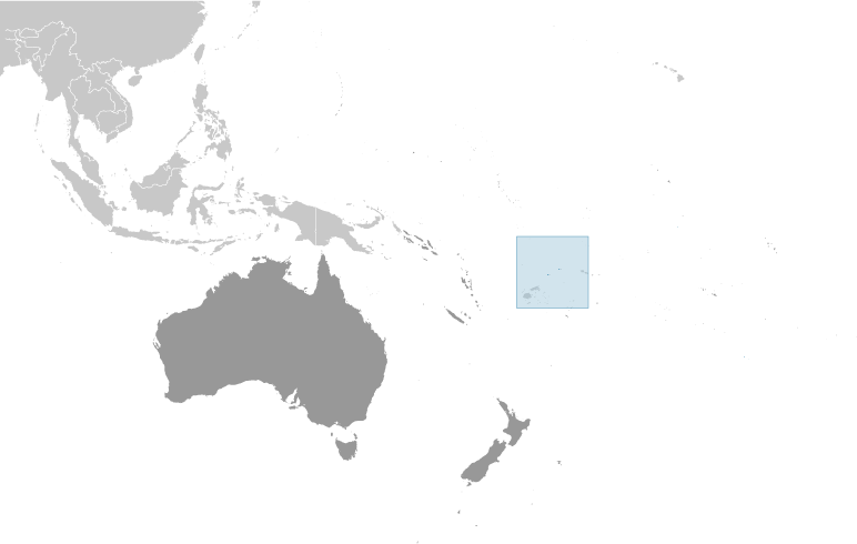
Where is Wallis & Futuna?
High Definition Political Map of Wallis & Futuna
History
Early humans
The earliest signs of human habitation on these islands are artifacts characteristic of the Lapita culture, dating roughly to between 850 and 800 BCE. The islands served as natural stopover points for boat traffic, mostly between Fiji and Samoa. During Tongan invasions in the 15th and 16th centuries, the islands defended themselves with varying levels of resistance, but also accepted varying degrees of assimilation. Futuna retained more of its pre-Tongan cultural features, while Wallis underwent greater fundamental changes in its society, language, and culture. The original inhabitants built forts and other identifiable structures on the islands (many of which are in ruins), some of which are still partially intact. Oral history and archaeological evidence suggests that the Tongan invaders re-occupied and modified some of these structures. The oral history also preserves a cultural memory of relationships between Samoa and Futuna that are so longstanding, they are described in the islanders’ origin stories.
European settlements
Futuna was first put on European maps by Willem Schouten and Jacob Le Maire, during their circumnavigation of the globe, in 1616. They named the islands of Futuna “Hoornse Eylanden”, after the Dutch town of Hoorn where they hailed from. This was later translated into French, as “Isles de Horne.” The Wallis Islands are named after the British explorer Samuel Wallis, who sailed past them in 1767, after being the first European to visit Tahiti. The French were the first Europeans to settle in the territory, with the arrival of French missionaries in 1837, who converted the population to Roman Catholicism. Pierre Chanel, canonized in 1954, is a major patron saint of the island of Futuna and of the region.
On 5 April 1842, the missionaries asked for the protection of France, after the uprising of part of the local population. On 5 April 1887, the queen of Uvea (of the traditional chiefdom of Wallis) signed a treaty, officially establishing a French protectorate. The kings of Sigave and Alo (on the islands of Futuna and Alofi) also signed a treaty establishing a French protectorate, on 16 February 1888. From that moment, the islands were officially under the authority of the French colony of New Caledonia.
In 1917, the three traditional kingdoms of Uvea, Sigave, and Alo were annexed by France, integrated into the colony of Wallis and Futuna, and remained under the authority of the colony of New Caledonia.
World War II
During World War II, the islands’ administration was briefly pro-Vichy, until a Free French corvette from New Caledonia deposed the regime, on 26 May 1942. Units of the US Marine Corps later landed on Wallis, on 29 May 1942.
Overseas territory
In 1959, the inhabitants of the islands voted to become a separate French overseas territory, effective since 29 July 1961, thus ending their subordination to New Caledonia.
In 2005, the 50th king of Uvea, Tomasi Kulimoetoke II, faced being deposed after giving sanctuary to his grandson who was convicted of manslaughter. The king claimed his grandson should be judged by tribal law rather than by the French penal system. As a result, there were riots in the streets involving the king’s supporters, who were victorious over attempts to replace the king. Two years later, Tomasi Kulimoetoke died on 7 May 2007. The state was in a six-month period of mourning, during which mentioning a successor was forbidden. On 25 July 2008, Kapiliele Faupala was installed as king despite protests from some of the royal clans. He was deposed in 2014. A new king, Patalione Kanimoa, was eventually installed in Uvea in 2016; Lino Leleivai in Alo on Futuna succeeded after Filipo Katoa had abdicated, and Eufenio Takala succeeded Polikalepo Kolivai in Sigave. The French president at the time, François Hollande, attended the installation ceremony.
Physical Map of Wallis & Futuna
Geography
Wallis and Futuna is located about two-thirds of the way from Hawaii to New Zealand. It is 13°18′S 176°12′W / 13.300°S 176.200°W / -13.300; -176.200Coordinates: 13°18′S 176°12′W / 13.300°S 176.200°W / -13.300; -176.200, 360 km (220 mi) west of Samoa and 480 km (300 mi) northeast of Fiji.
The territory includes the island of Uvéa (also called Wallis), which is the most populous; the island of Futuna; the virtually uninhabited island of Alofi; and 20 uninhabited islets. The total area of the territory is 274 square kilometres (106 sq mi), with 129 kilometres (80 mi) of coastline. The highest point in the territory is Mont Puke, on the island of Futuna, at 524 metres (1,719 ft).
The islands have a hot, rainy season from November to April, when tropical cyclones passing over them cause storms. Then they have a cool, dry season from May to October, caused by the southeast trade winds that predominate during those months. The average annual rainfall is between 2,500 and 3,000 millimetres (98–118 in), and rain is likely on at least 260 days per year. The average humidity is 80%. The average annual temperature is 26.6 °C (79.9 °F), rarely falling below 24.0 °C (75.2 °F); during the rainy season, it ranges between 28.0 °C (82.4 °F) and 32.0 °C (89.6 °F).
Only 5% of the islands’ land area consists of arable land; permanent crops cover another 20%. Deforestation is a serious problem: Only small portions of the original forests remain, largely because the inhabitants use wood as their main fuel source, and, as a result, the mountainous terrain of Futuna is particularly susceptible to erosion. The island of Alofi lacks natural freshwater resources, so it has no permanent settlements.
Volcanic activity during the mid-Pleistocene created numerous volcanic crater lakes on Uvea (Wallis Island). The names of some of them are: Lalolalo, Lano, Lanutavake, Lanutuli, Lanumaha, Kikila, and Alofivai.
Wallis and Futuna is part of the Fiji tropical moist forests terrestrial ecoregion.