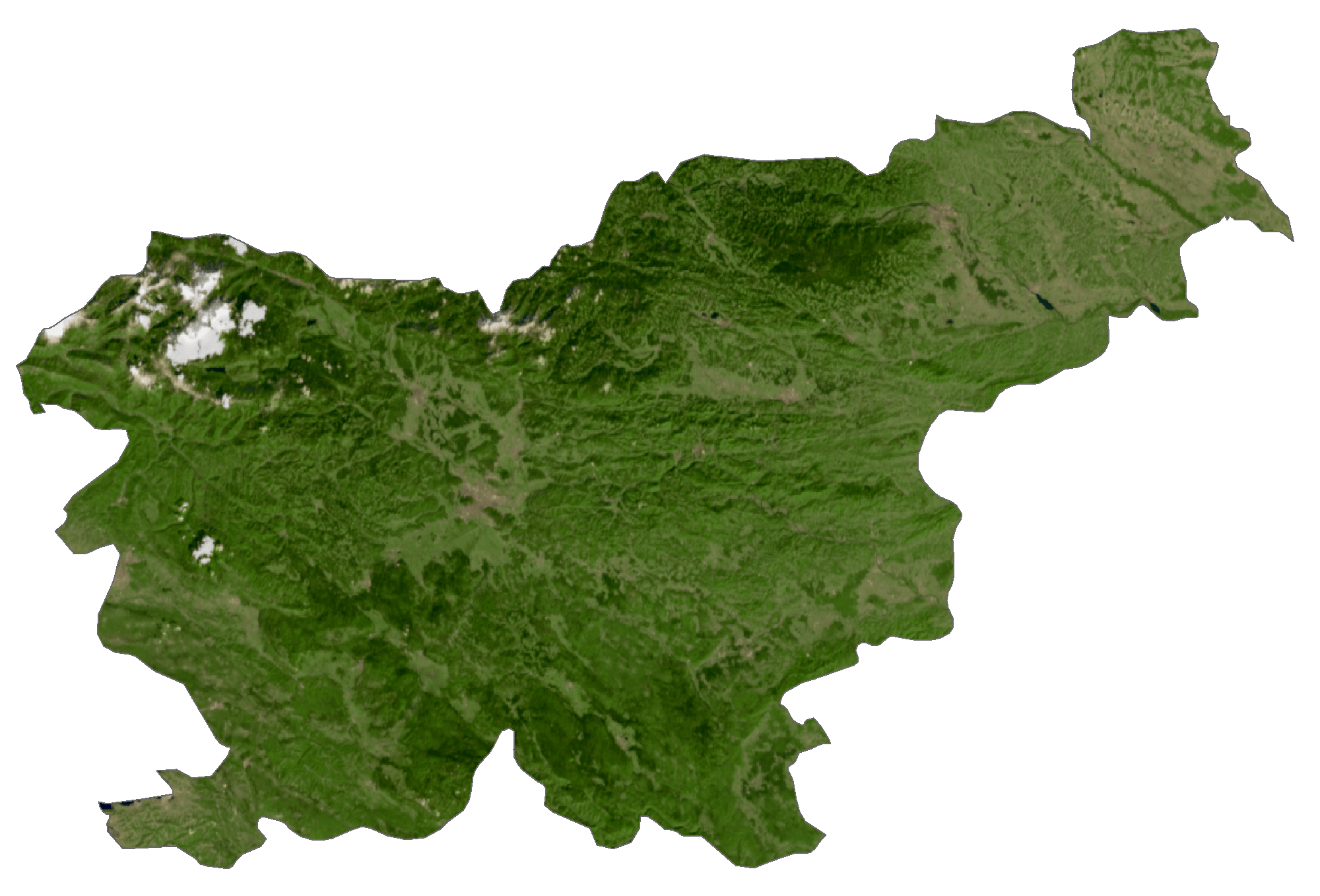
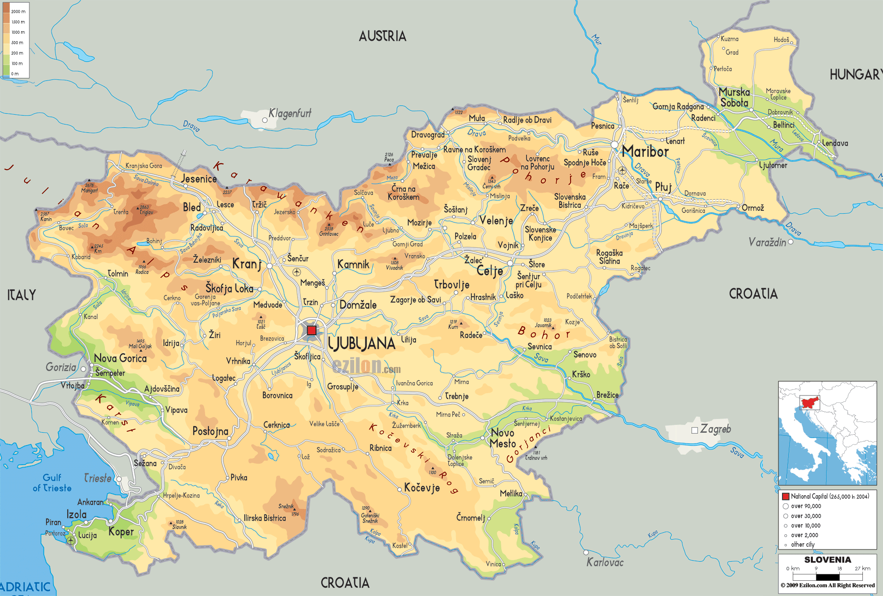
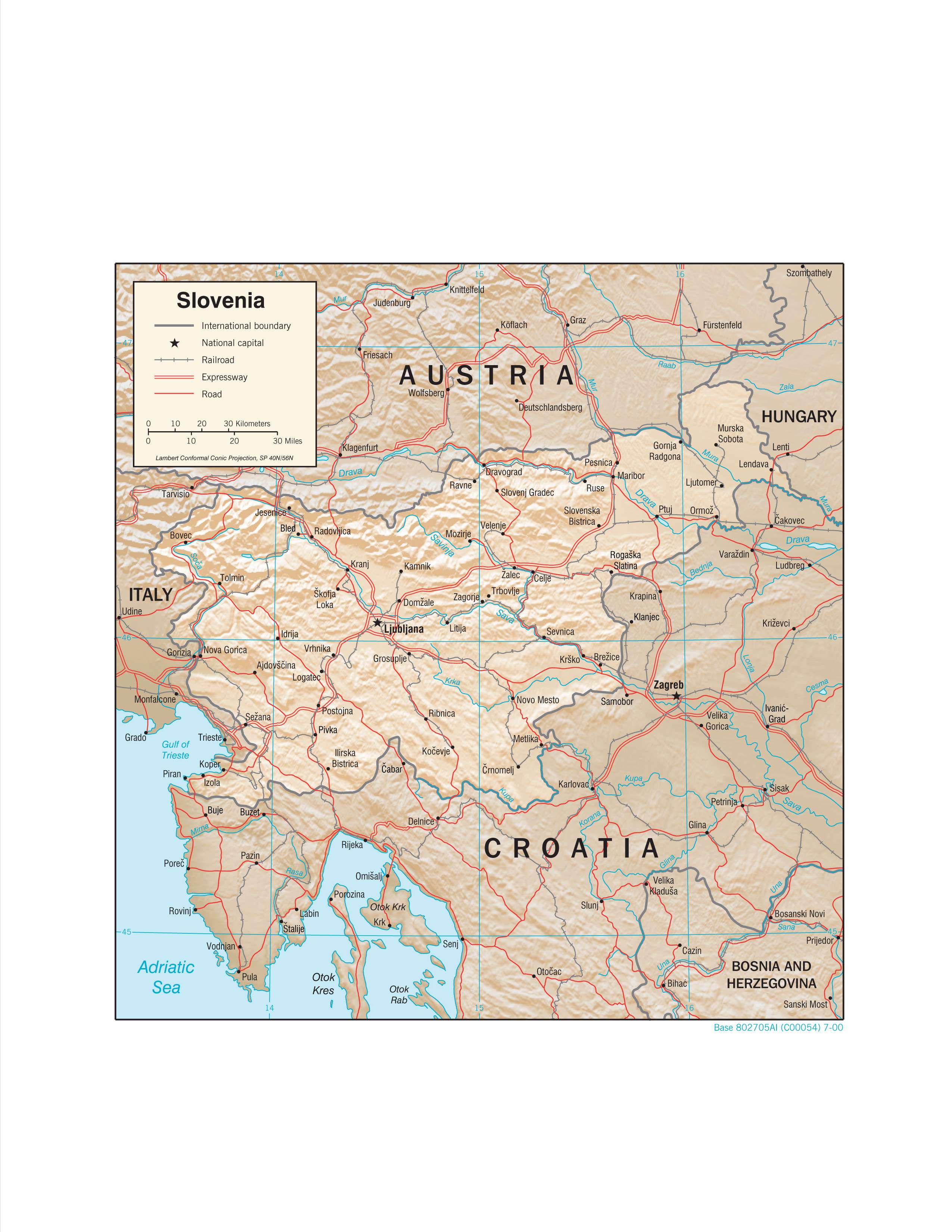
Slovenia occipies an area of 20,271 sq. km in Central Europe. As observed on the physical map above, Slovenia has a highly elevated terrain with over 40% of the country being mountainous. The country can be roughly divided into four physigraphic regions.
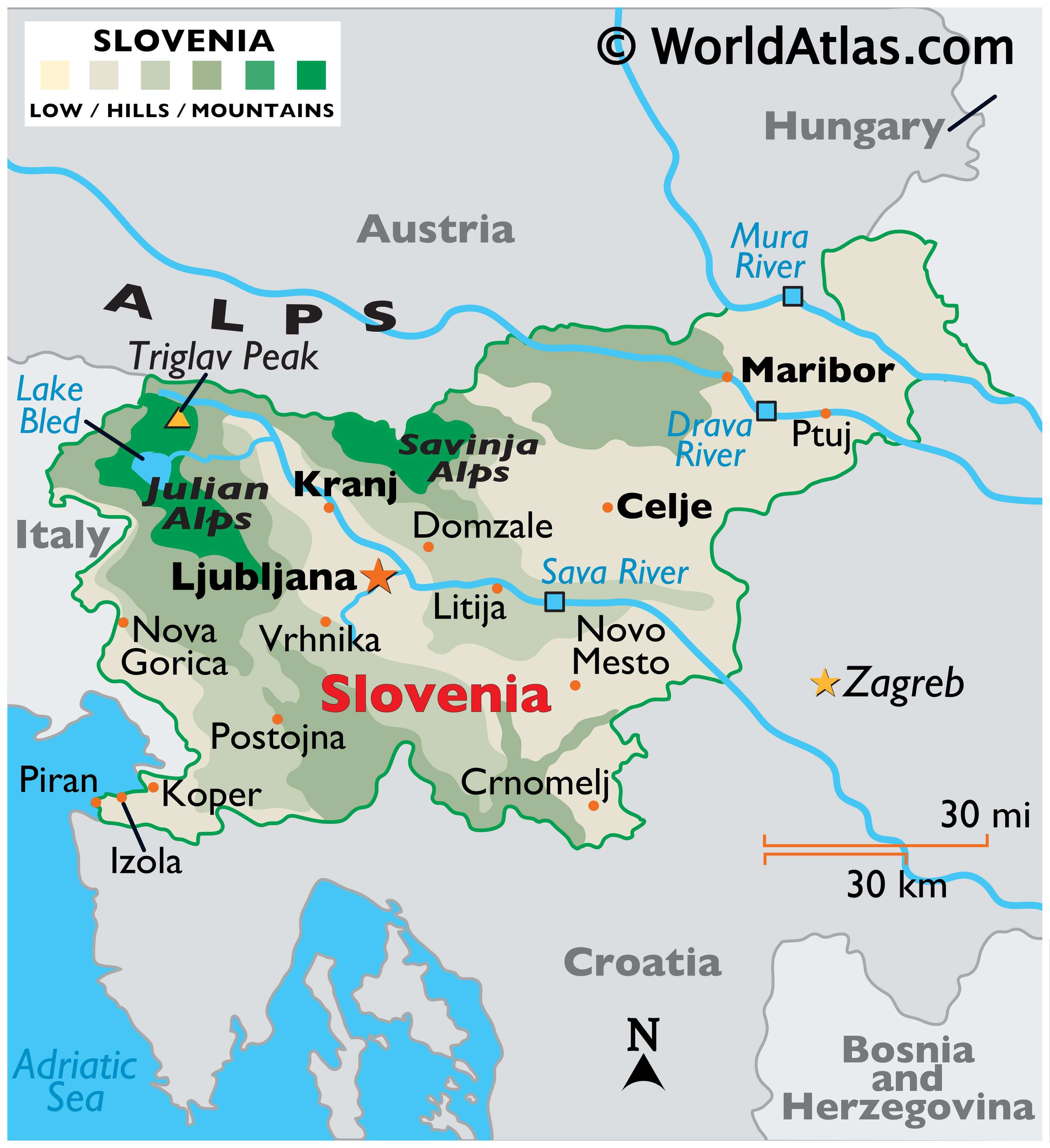
The Alps extend across the northern and northwestern parts of the country. The High Alps comprising of the Kamnik, Savinja, Karavanke, and Julian Alps run along Slovenia’s border with Austria and Italy. The Julian Alps hosts the country’s highest point (marked by the yellow triangle). It is the Triglav Peak at an elevation of 9,396 ft (2,864 m) above sea-level. Located within the Julian Alps are two glacial lakes (Bohinj and Bled), and major rivers include the Drava and Sava. South of the High Alps is the subalpine region with the Pohorje as one of the major ranges in the region.
To the southwest of Slovenia is the Kras or Karst region which is a spur of the Dinaric Alps. Here, there are several caves and underground rivers.
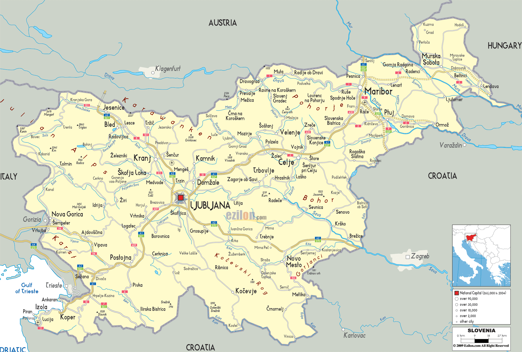
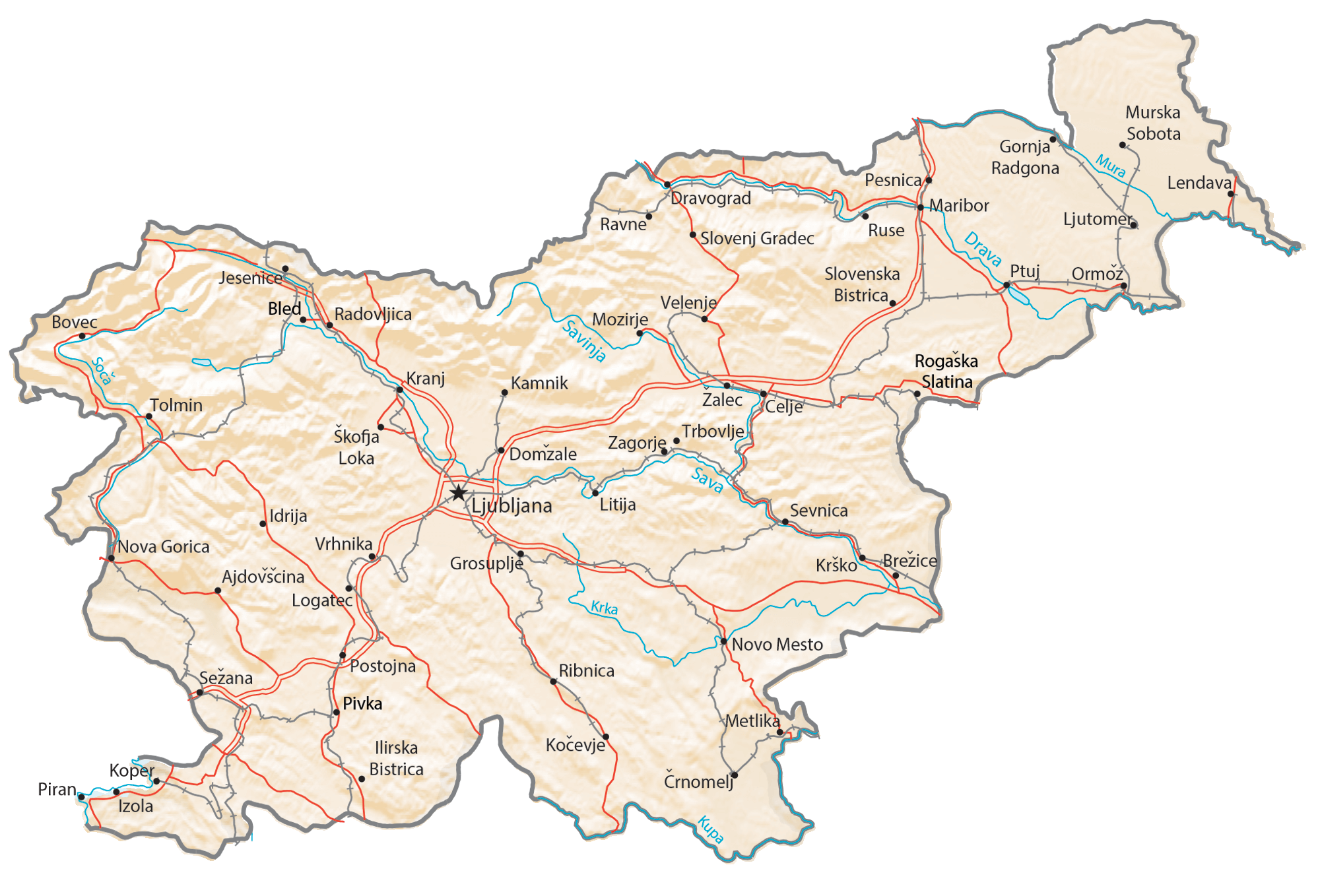
To the east and northeast is the fertile Subpannonia region which includes the river valleys of the Drava, Sava, and Mura rivers. Many important cities are located here. The courses of these rivers through Slovenia can be seen on the map above.
Occupying only a small part of the country is the Slovene Littoral region to the southwest which includes the 29-mile (47-km) coastline along the Adriatic Sea.
Slovenia is also heavily forests. is ranked third in Europe for being the most forested country, with over half of its land covered with forests.
| Flag: |  |
|---|---|
| Legal Name: | Republic of Slovenia |
| Capital Value: | Ljubljana |
| Official languages: | Slovene |
| Demonym(s): |
|
| Government: | Unitary parliamentary republic |
| Legislature: | Parliament |
| Total Area: | 20,273 km² |
| Land Area: | 20,151 km² |
| Water Area: | 122 km² |
| Population: | 2,087,946 |
| Density: | 103/km (266.8/sq mi) (106th) |
| GDP: | $53.74 Billion |
| GDP Per Capita: | $25,739.25 |
| Currency Value: | Euros (EUR) |
| Driving side: | right |
| Calling code: | +386 |
| Internet TLD: | .si |
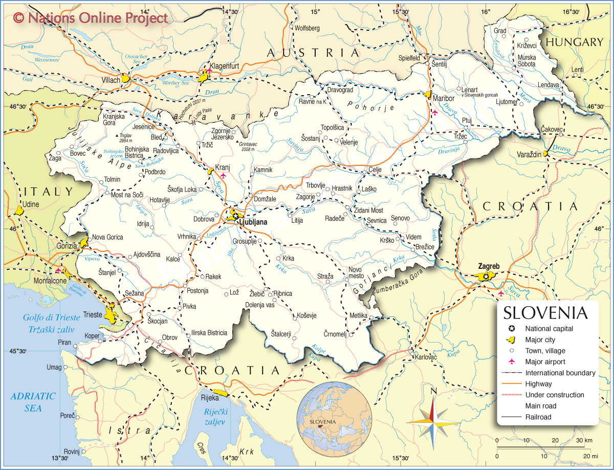
Slovenia Maps
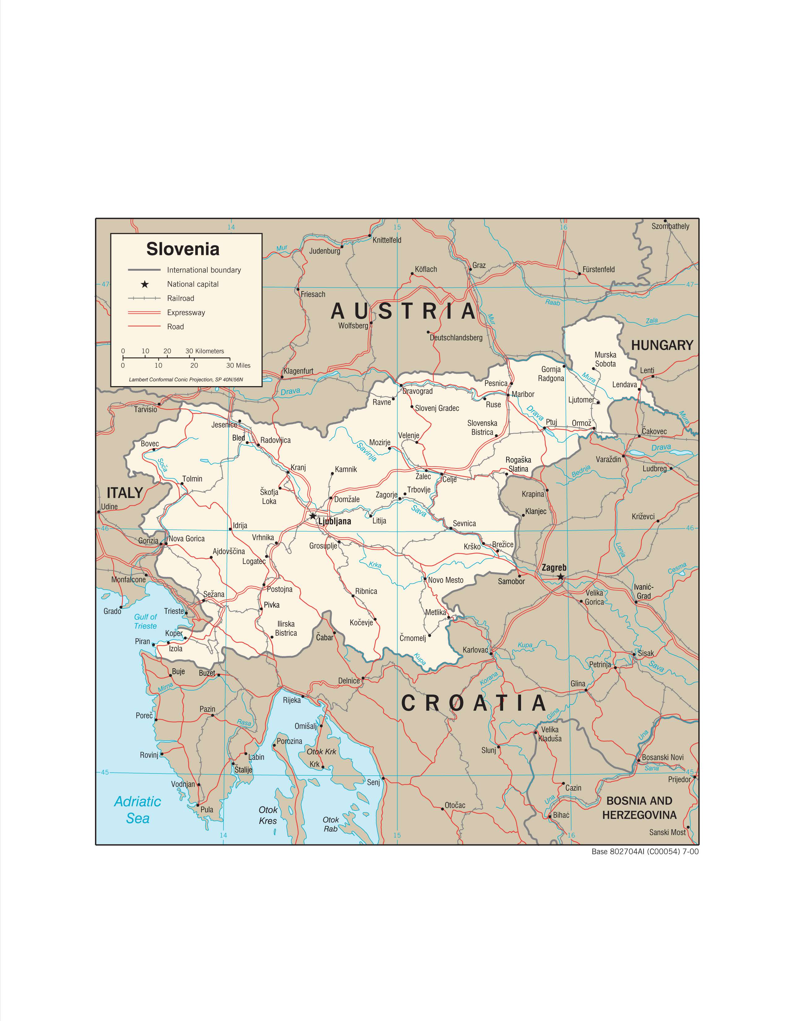
Explore the beauty of Slovenia with this collection of maps! Our detailed maps include a reference map, satellite imagery, and a physical map. Each map of Slovenia displays cities, towns, rivers, highways, and roads. Get to know the country better and plan your trip with ease.
Online Interactive Political Map
Click on ![]() to view map in "full screen" mode.
to view map in "full screen" mode.
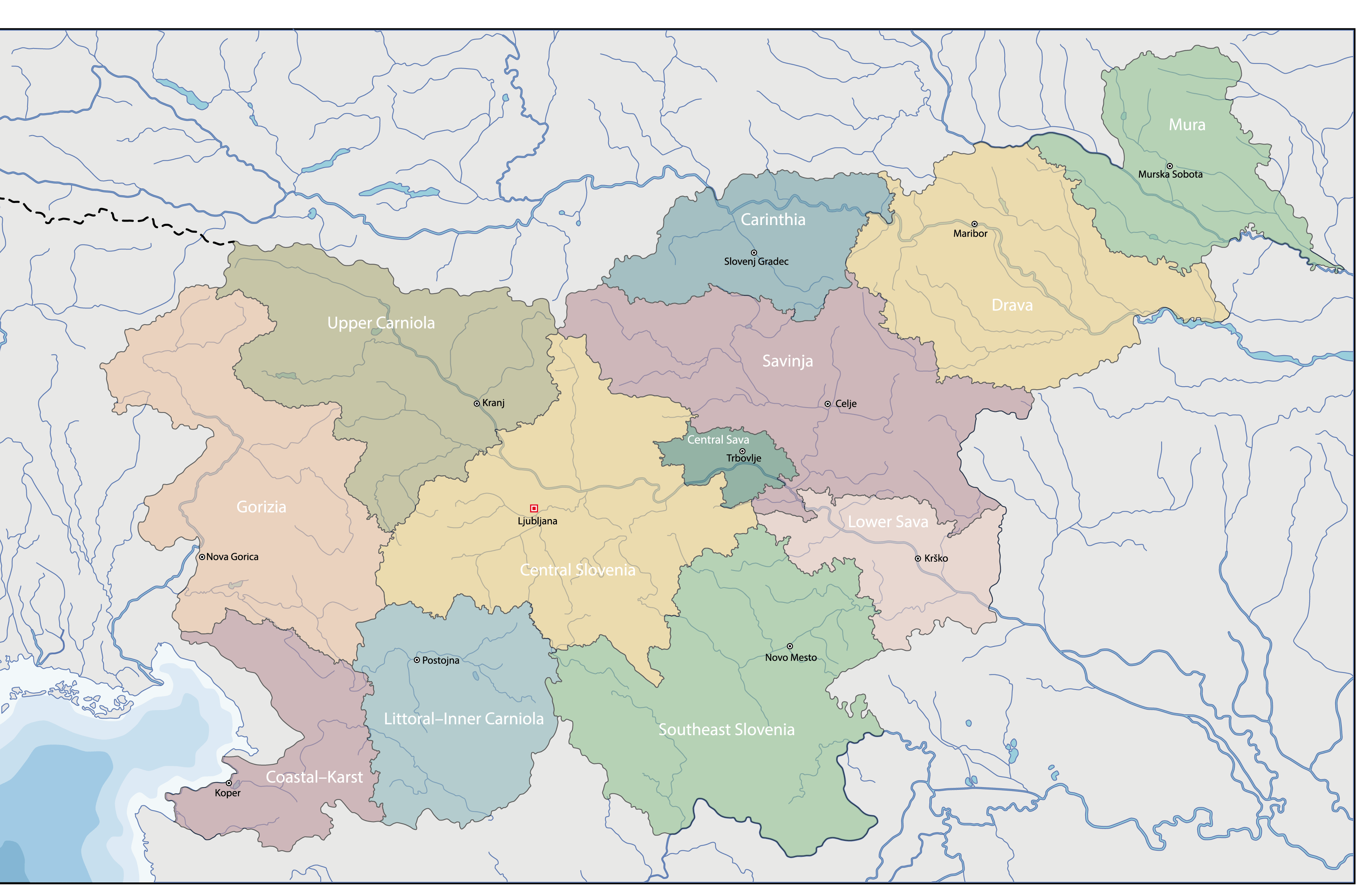
Slovenia (officially, the Republic of Slovenia) is divided into 12 regions, 201 municipalities (obcine, sing. obcina) and 11 urban municipalities (mestne obcine, sing. mestna obcina).
In alphabetical order, the regions are: Carinthia, Central Sava, Central Slovenia, Coastal-Karst, Drava, Gorizia, Littoral-Inner Carniola, Lower Sava, Mura, Savinja, Southeast Slovenia and Upper Carniola.
In alphabetical order, the municipalities are: Ajdovscina, Ankaran, Apace, Beltinci, Benedikt, Bistrica ob Sotli, Bled, Bloke, Bohinj, Borovnica, Bovec, Braslovce, Brda, Brezice, Brezovica, Cankova, Cerklje na Gorenjskem, Cerknica, Cerkno, Cerkvenjak, Cirkulane, Crensovci, Crna na Koroskem, Crnomelj, Destrnik, Divaca, Dobje, Dobrepolje, Dobrna, Dobrova-Polhov Gradec, Dobrovnik/Dobronak, Dolenjske Toplice, Dol pri Ljubljani, Domzale, Dornava, Dravograd, Duplek, Gorenja Vas-Poljane, Gorisnica, Gorje, Gornja Radgona, Gornji Grad, Gornji Petrovci, Grad, Grosuplje, Hajdina, Hoce-Slivnica, Hodos, Horjul, Hrastnik, Hrpelje-Kozina, Idrija, Ig, Ilirska Bistrica, Ivancna Gorica, Izola/Isola, Jesenice, Jezersko, Jursinci, Kamnik, Kanal, Kidricevo, Kobarid, Kobilje, Kocevje, Komen, Komenda, Kosanjevica na Krki, Kostel, Kozje, Kranjska Gora, Krizevci, Krsko, Kungota, Kuzma, Lasko, Lenart, Lendava/Lendva, Litija, Ljubno, Ljutomer, Log-Dragomer, Logatec, Loska Dolina, Loski Potok, Lovrenc na Pohorju, Luce, Lukovica, Majsperk, Makole, Markovci, Medvode, Menges, Metlika, Mezica, Miklavz na Dravskem Polju, Miren-Kostanjevica, Mirna, Mirna Pec, Mislinja, Mokronog-Trebelno, Moravce, Moravske Toplice, Mozirje, Muta, Naklo, Nazarje, Odranci, Oplotnica, Ormoz, Osilnica, Pesnica, Piran/Pirano, Pivka, Podcetrtek, Podlehnik, Podvelka, Poljcane, Polzela, Postojna, Prebold, Preddvor, Prevalje, Puconci, Race-Fram, Radece, Radenci, Radlje ob Dravi, Radovljica, Ravne na Koroskem, Razkrizje, Recica ob Savinji, Rence-Vogrsko, Ribnica, Ribnica na Pohorju, Rogaska Slatina, Rogasovci, Rogatec, Ruse, Selnica ob Dravi, Semic, Sevnica, Sezana, Slovenska Bistrica, Slovenske Konjice, Sodrazica, Solcava, Sredisce ob Dravi, Starse, Straza, Sveta Ana, Sveta Trojica v Slovenskih Goricah, Sveti Andraz v Slovenskih Goricah, Sveti Jurij ob Scavnici, Sveti Jurij v Slovenskih Goricah, Sveti Tomaz, Salovci, Sempeter-Vrtojba, Sencur, Sentilj, Sentjernej, Sentjur, Sentrupert, Skocjan, Skofja Loka, Skofljica, Smarje pri Jelsah, Smarjeske Toplice, Smartno ob Paki, Smartno pri Litiji, Sostanj, Store, Tabor, Tisina, Tolmin, Trbovlje, Trebnje, Trnovska Vas, Trzic, Trzin, Turnisce, Velika Polana, Velike Lasce, Verzej, Videm, Vipava, Vitanje, Vodice, Vojnik, Vransko, Vrhnika, Vuzenica, Zagorje ob Savi, Zalec, Zavrc, Zelezniki, Zetale, Ziri, Zirovnica, Zrece, and Zuzemberk. The urban municipalities are: Celje, Koper-Capodistria, Kranj, Ljubljana, Maribor, Murska Sobota, Nova Gorica, Novo Mesto, Ptuj, Slovenj Gradec and Velenje.
Located in the central part of the country, surrounded by the Julian Alps is, Ljubljana – the capital and the largest city of Slovenia. It is also the cultural, administrative and economic center of Slovenia.
Location Maps
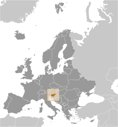
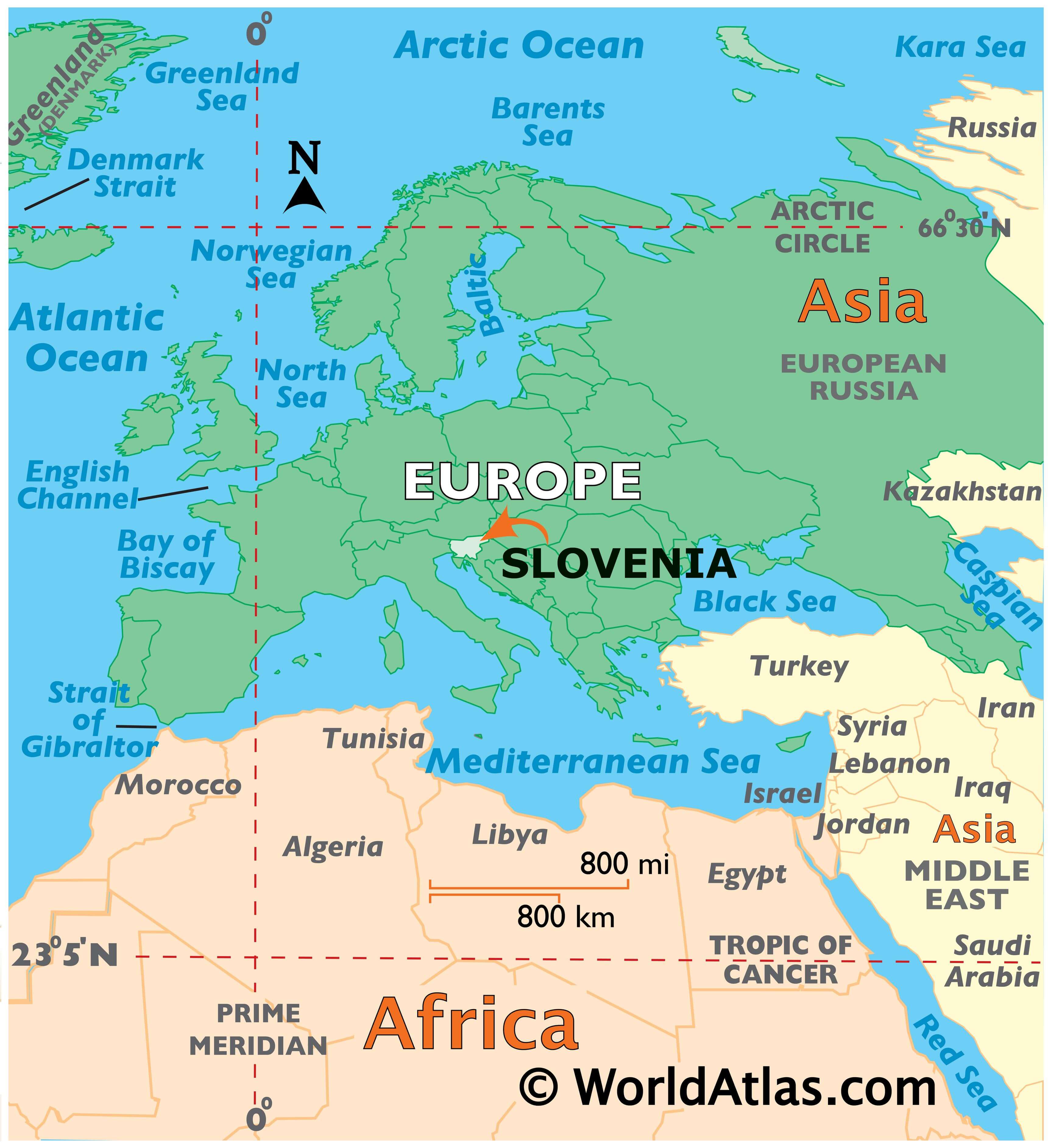
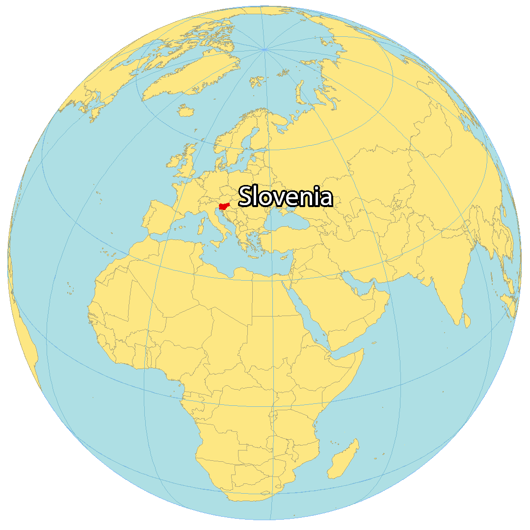
Where is Slovenia?
Slovenia is located at the intersection of Central Europe and is part of the northwest end of the Balkans. It shares land borders with Italy to the west, Austria to the north, Hungary to the northeast, and Croatia to the southeast. Also, its coastline with the Adriatic Sea to the southwest, the Slovene Riviera, measures 46.6 kilometers long. In 1945, Slovenia was its own state within Yugoslavia. But it wasn’t until 1991 that Slovenia gained independence.
The country of Slovenia is known for its mountains, lakes, castles, historic towns, and caves. Ljubljana is the capital and largest city of Slovenia near the center of the country. But other major cities are Maribor, Celje, and Kranj.
High Definition Political Map of Slovenia

Physical Map of Slovenia
Transportation Map of Slovenia
Slovenia Satellite Map