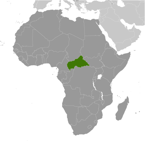
The Central African Republic is located in the heart of Africa where it occupies an area of 622,984 sq. km.
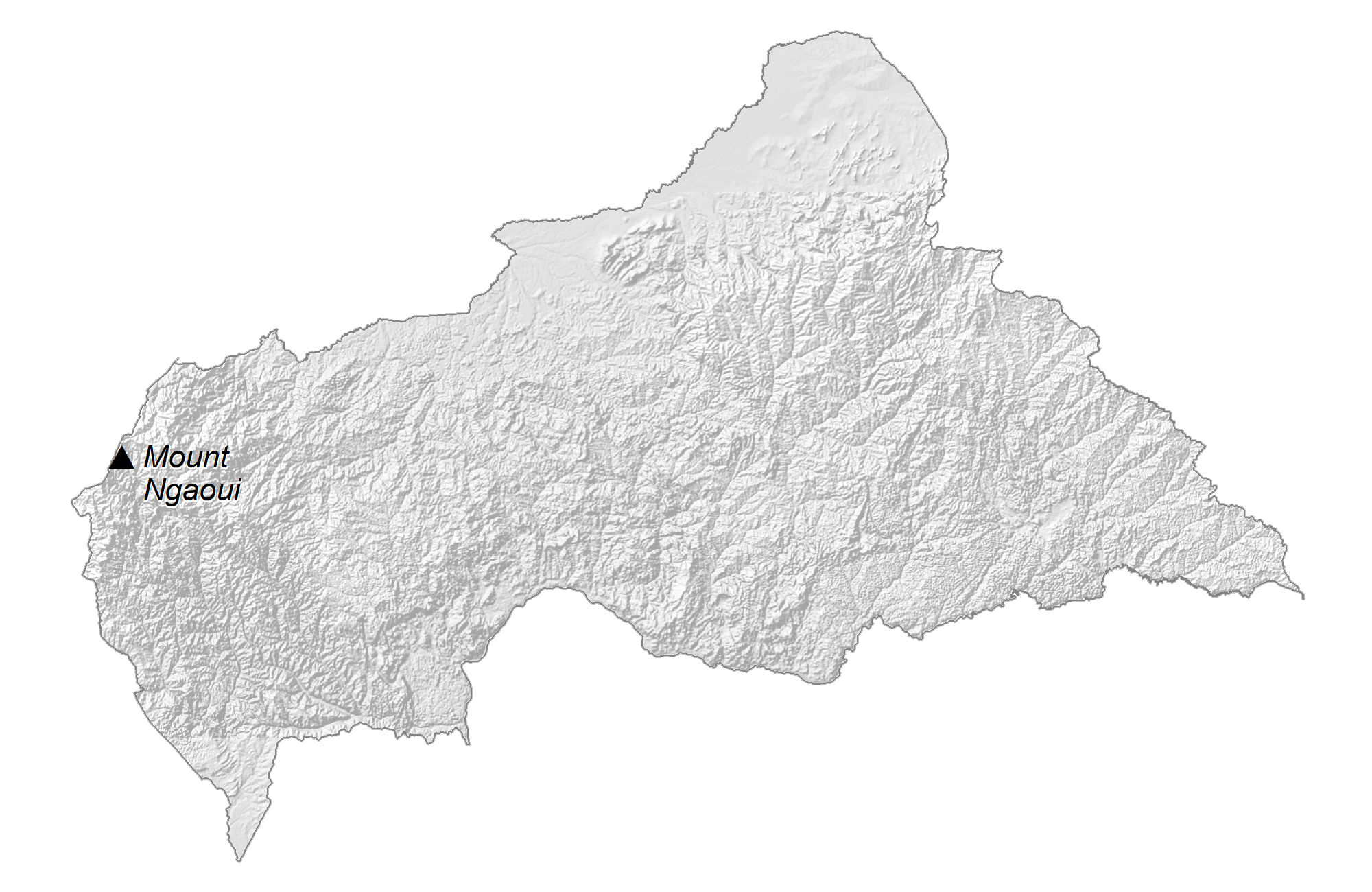
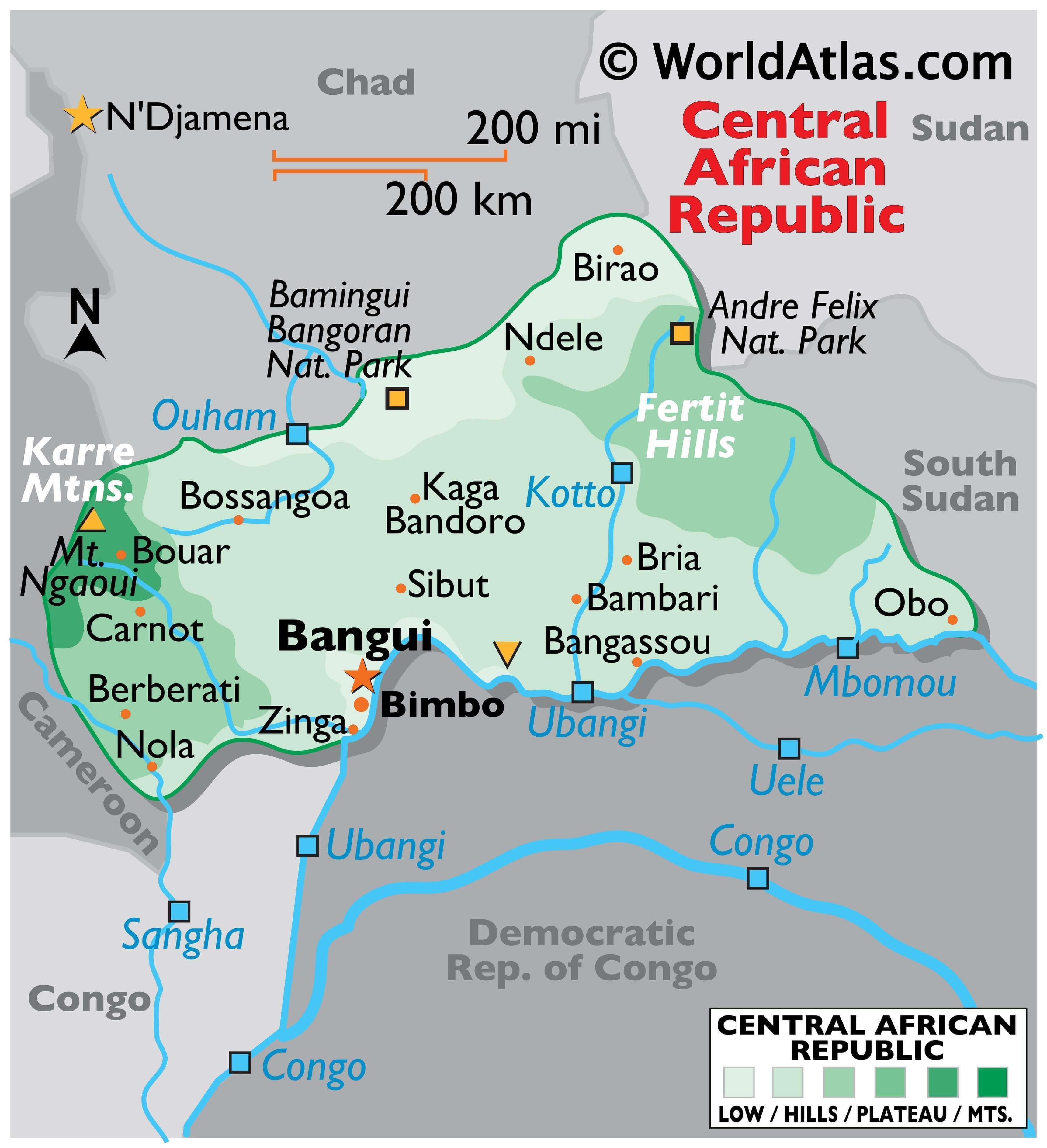
As observed on the physical map of the country above, a large part of it is covered by a flat or rolling plateau with an average elevation of about 500 m above sea level.
The Fertit Hills lie to the northeast and the Karre Mountains to the west. As marked on the map by an upright triangle, the highest point in the country, the 1,410 m high Mount Ngaoui is located in this region.
The tributaries of the Congo River run across the southern border of the country. The Ubangi River is the major river here and is formed by the convergence of the Uele and Mbomou Rivers. The Sangha River, as marked on the map, is important in western CAR.
| Flag: |  |
|---|---|
| Legal Name: | Central African Republic |
| Capital Value: | Bangui |
| Largest City: |
Bangui (889,231) |
| Official languages: | French • Sango |
| Demonym(s): | Central African |
| Government: | Unitary presidential republic |
| Legislature: | National Assembly |
| Total Area: | 622,984 km² |
| Land Area: | 622,984 km² |
| Population: | 4,745,185 |
| Density: | 7.1/km (18.4/sq mi) (221st) |
| GDP: | $2.22 Billion |
| GDP Per Capita: | $467.91 |
| Currency Value: | Cooperation Financiere en Afrique Centrale francs (XAF) |
| Driving side: | right |
| Calling code: | +236 |
| Internet TLD: | .cf |
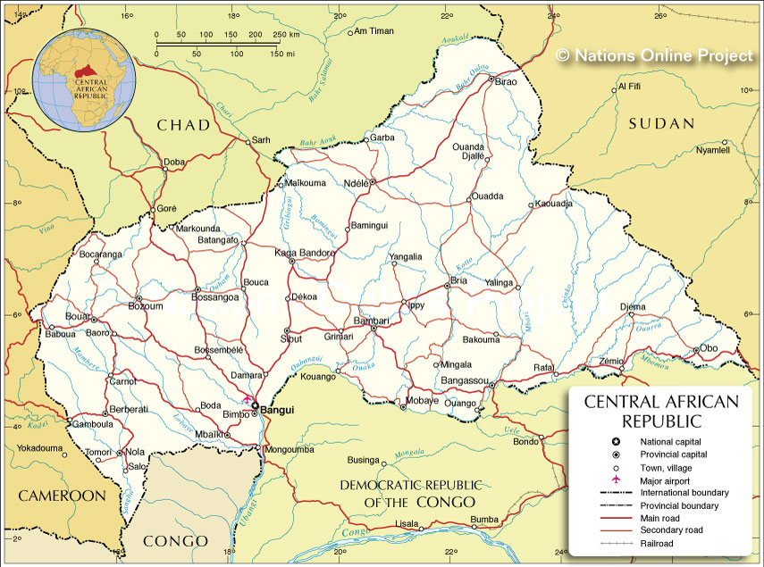
Explore the Central African Republic with this Detailed Map
The Central African Republic is a landlocked country in Central Africa bordered by Chad, Sudan, South Sudan, the Democratic Republic of Congo, the Republic of Congo, and Cameroon. This interactive map of the Central African Republic gives a detailed view of the country’s major cities, towns, roads, and topography. Zoom in to explore the region in greater detail and get a better perspective of the Central African Republic’s landscape.
Online Interactive Political Map
Click on ![]() to view map in "full screen" mode.
to view map in "full screen" mode.
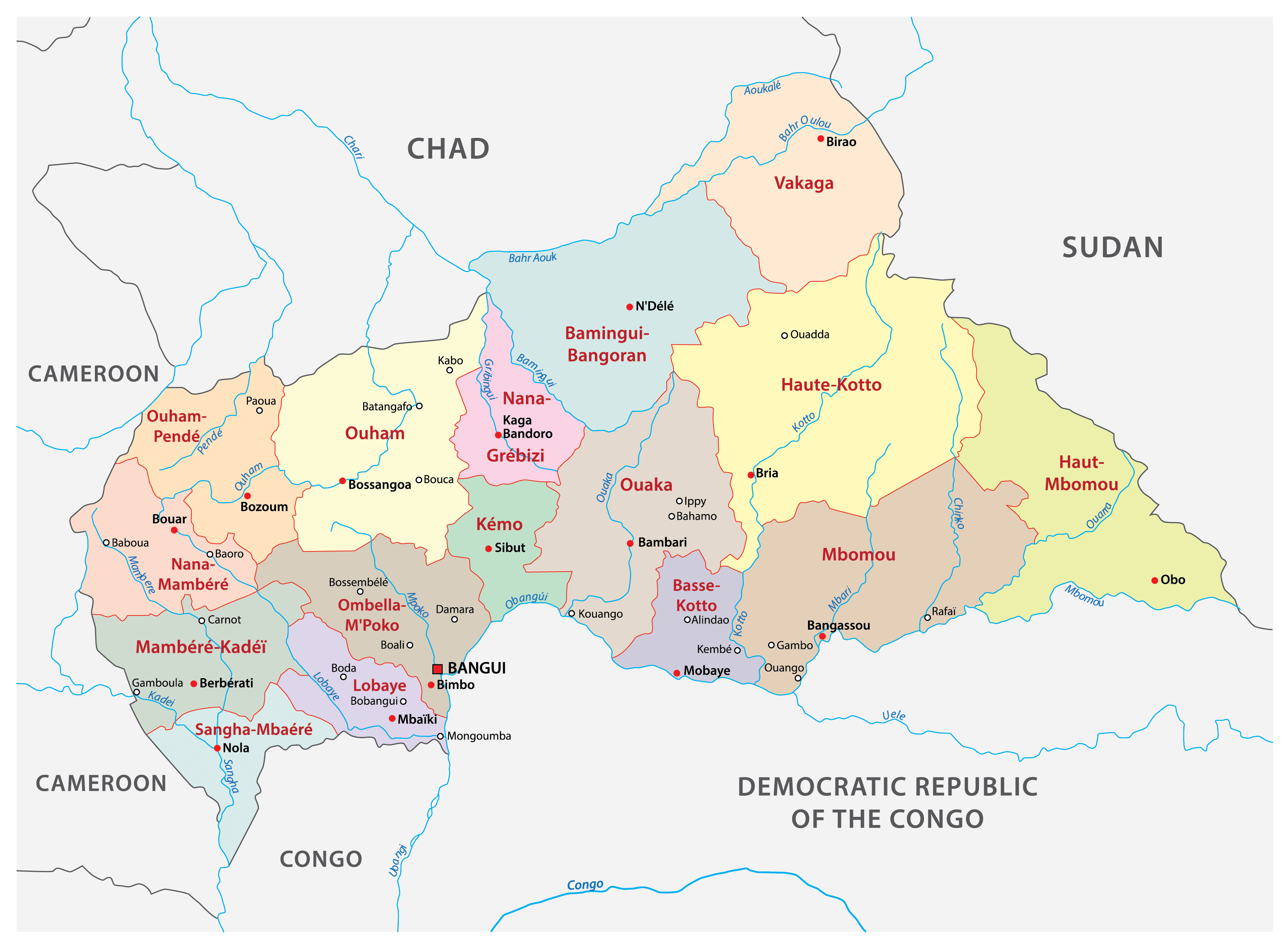
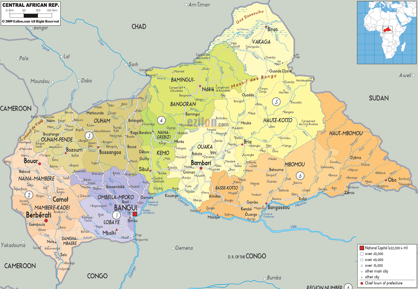
The Central African Republic is divided into 16 prefectures and an autonomous commune. The prefectures are subdivided into 71 sub-prefectures.
The 16 prefectures are Bamingui-Bangoran, Basse-Kotto, Haute-Kotto, Haut-Mbomou, Kemo, Lobaye, Mambere-Kadei, Mbomou, Nana-Grebizi, Nana-Mambere, Ombella-Mpoko, Ouaka, Ouham, Ouham-Pende, Sangha-Mbaere, and Vakaga.
The autonomous commune is Bangui which is the national capital of the country.
With an area of 86,650 sq. km, Haute-Kotto is the largest prefecture by area and Bangui is the most populous administrative division.
Location Maps
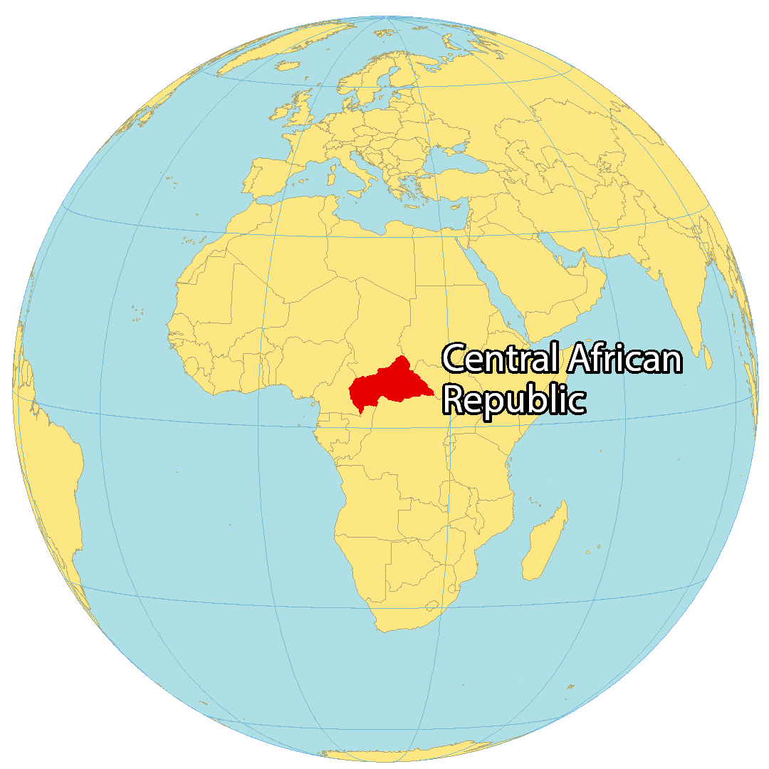
Where is Central African Republic?
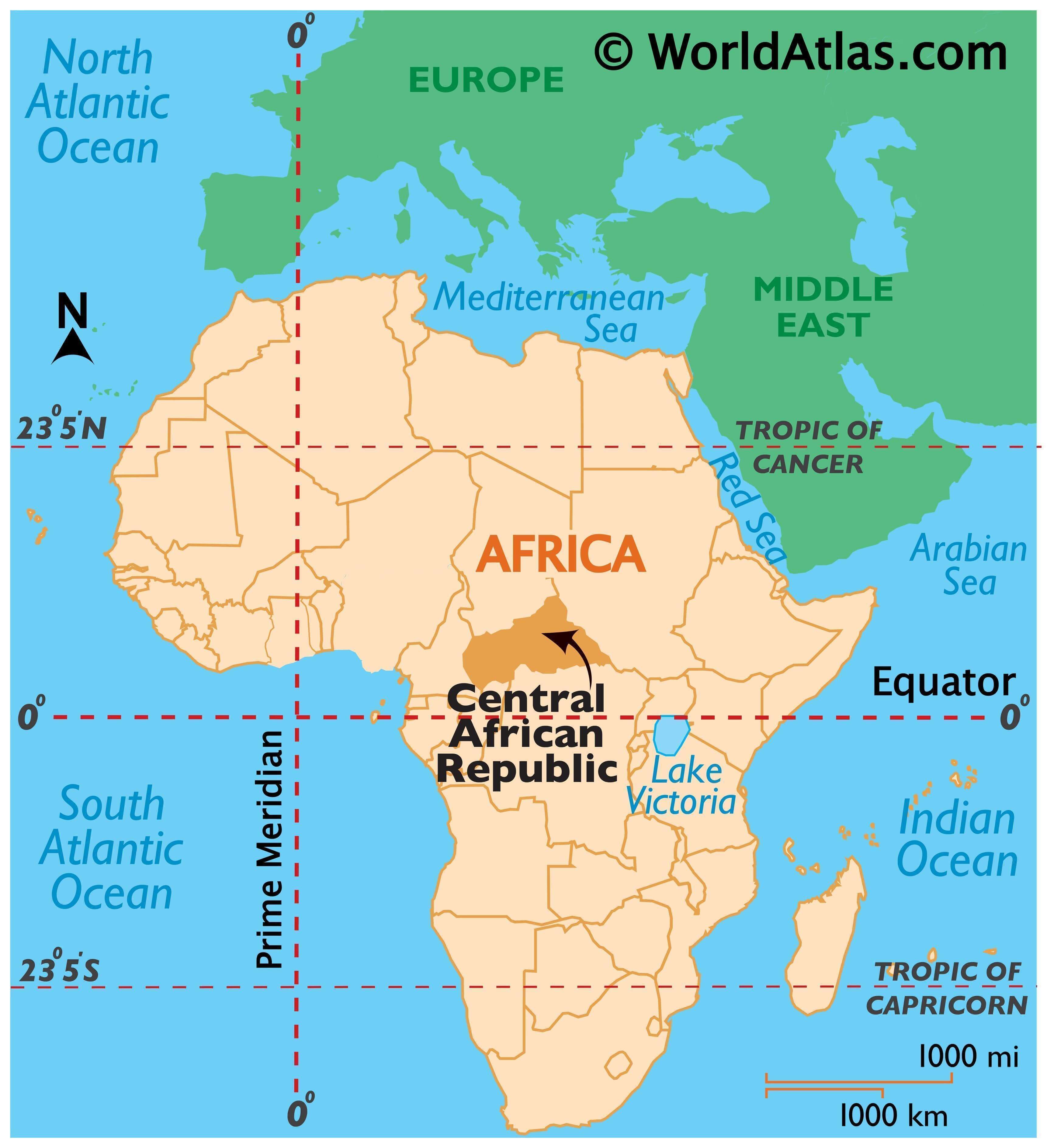
The Central Africa Republic is a landlocked country located in the interior of Africa. It borders Chad to the north, Sudan and South Sudan to the north and east, the Democratic Republic of Congo and the Congo to the south, and Cameroon to the west. Between latitudes 2° and 11°N, the country lies just above the equator. Bangui is the capital and largest city of the Central Africa Republic, with an estimated population of 4.75 million.
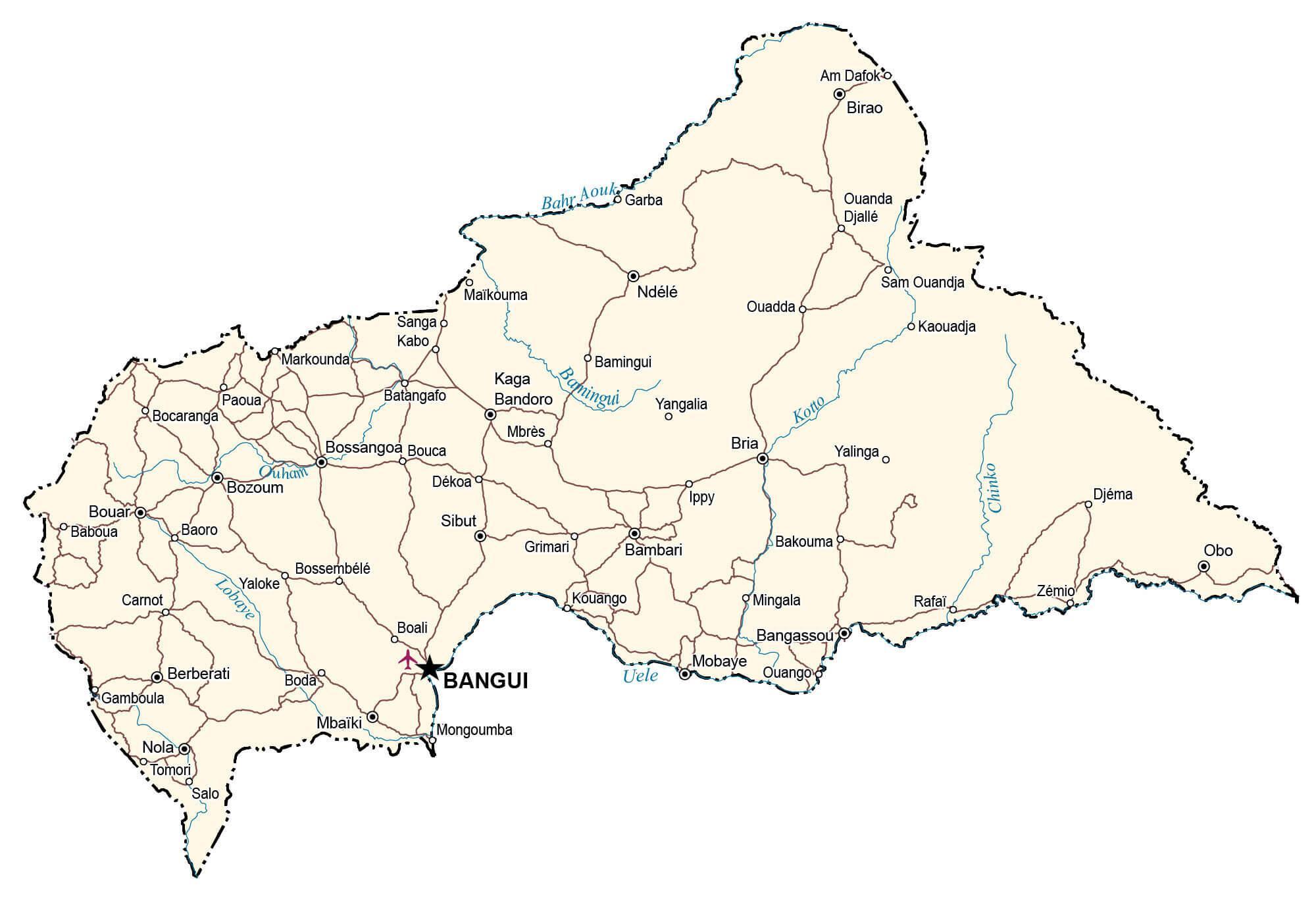
High Definition Political Map of Central African Republic
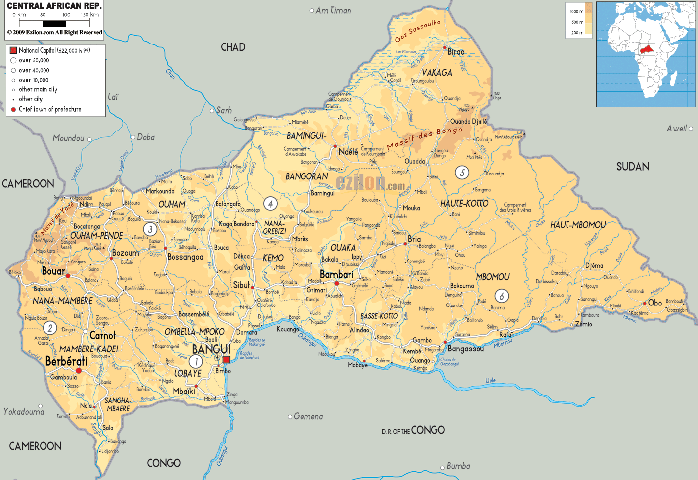
Physical Map of Central African Republic
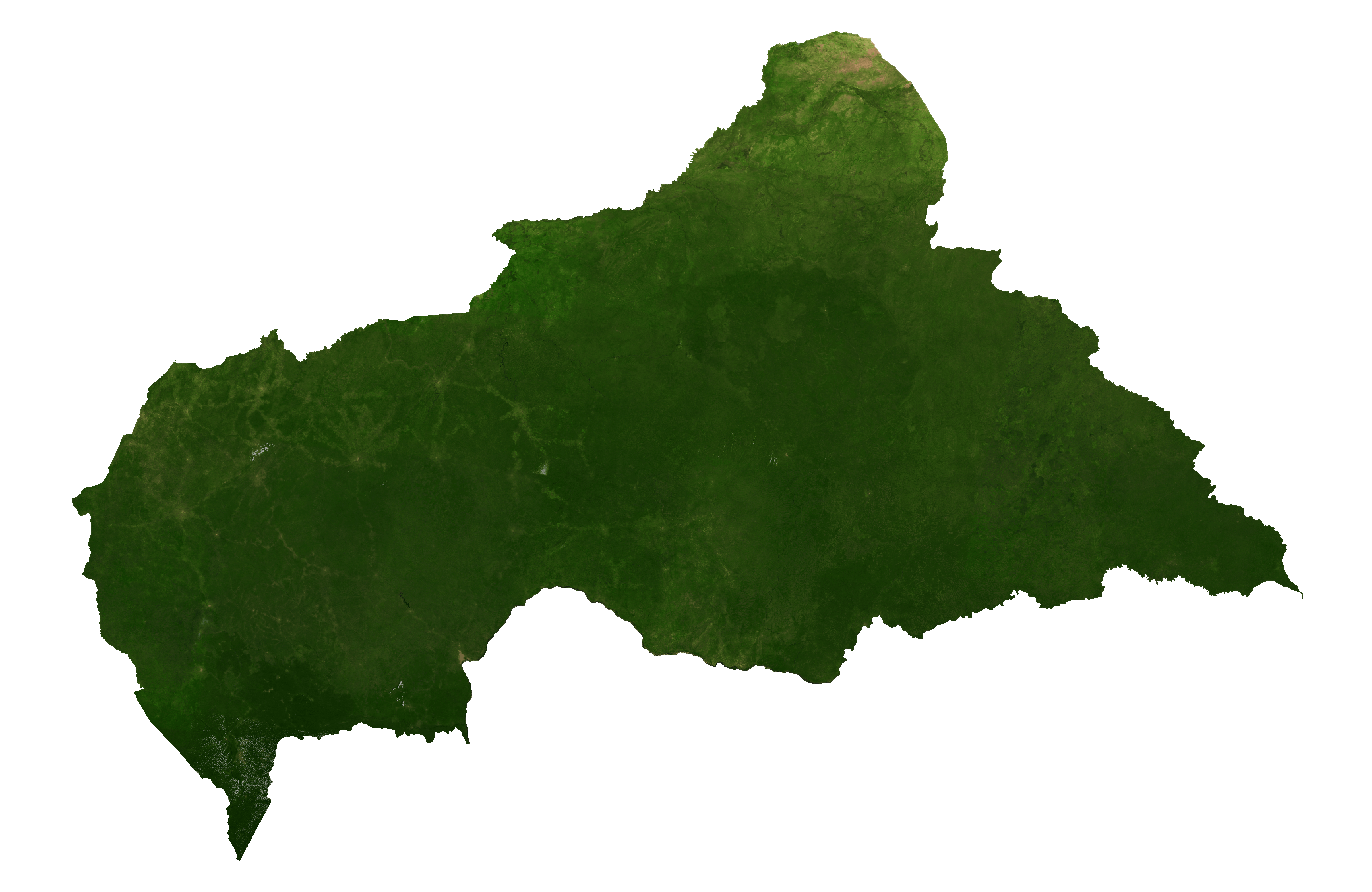
Central African Republic Satellite Map
Elevation Map