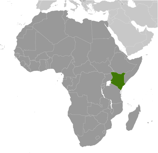
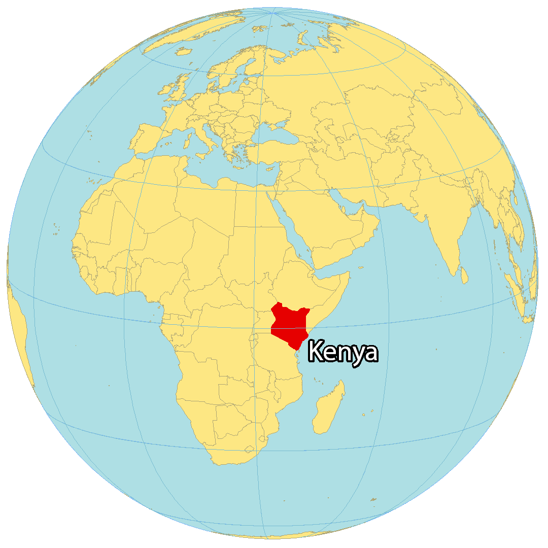
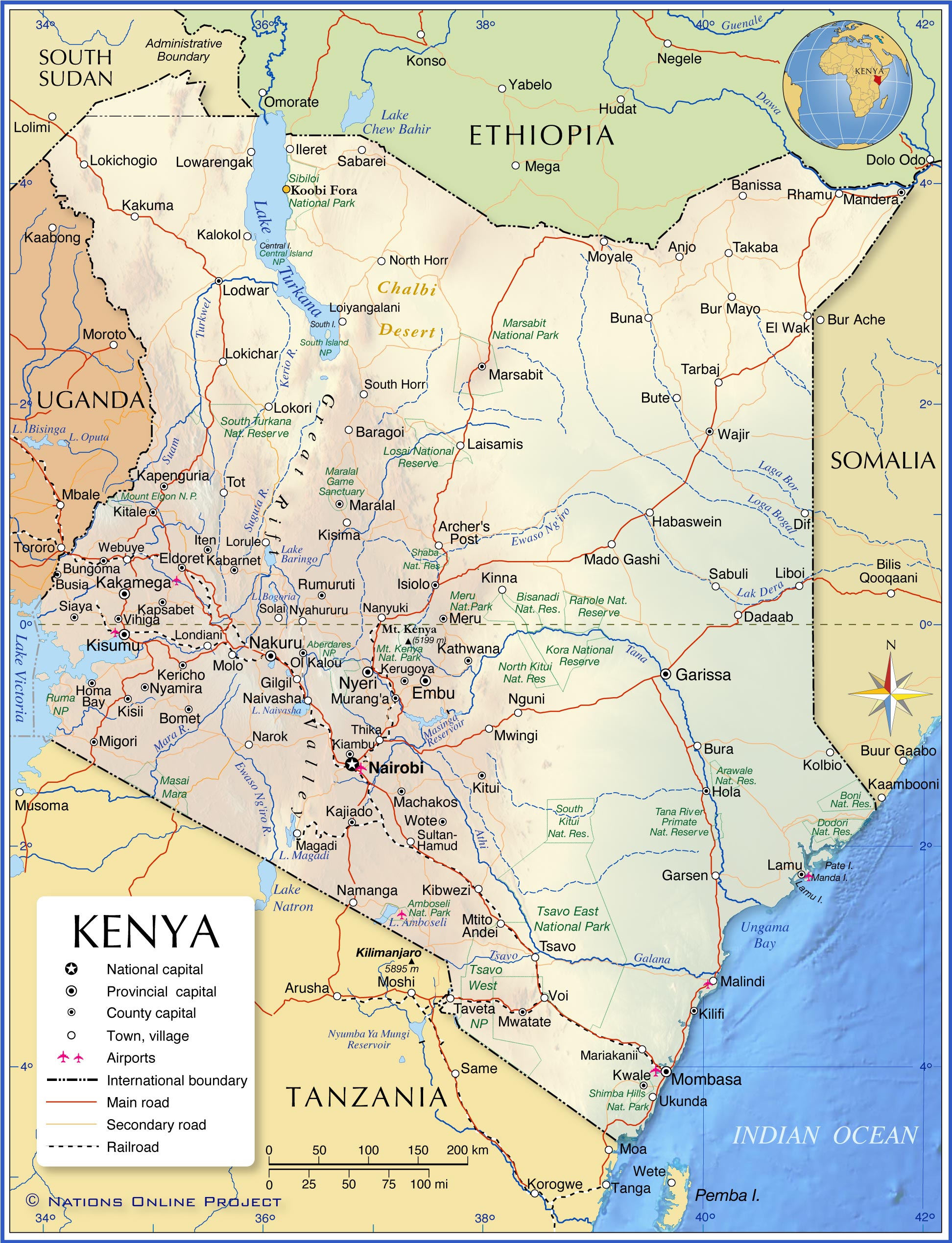
Kenya is a country located in Eastern Africa where it covers an area of 580,367 sq. km.
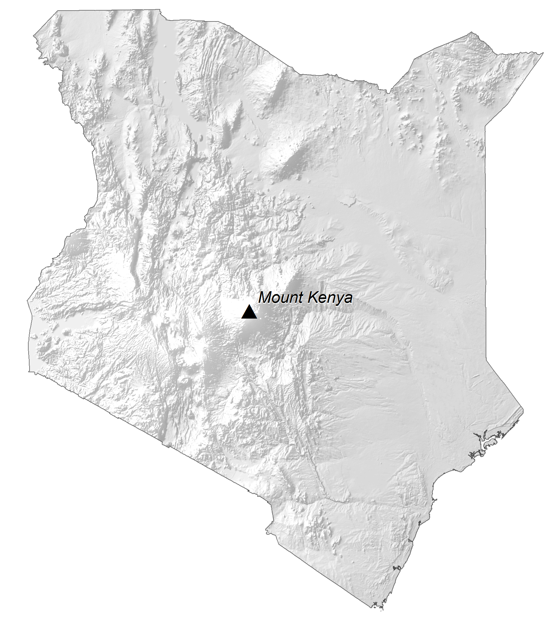
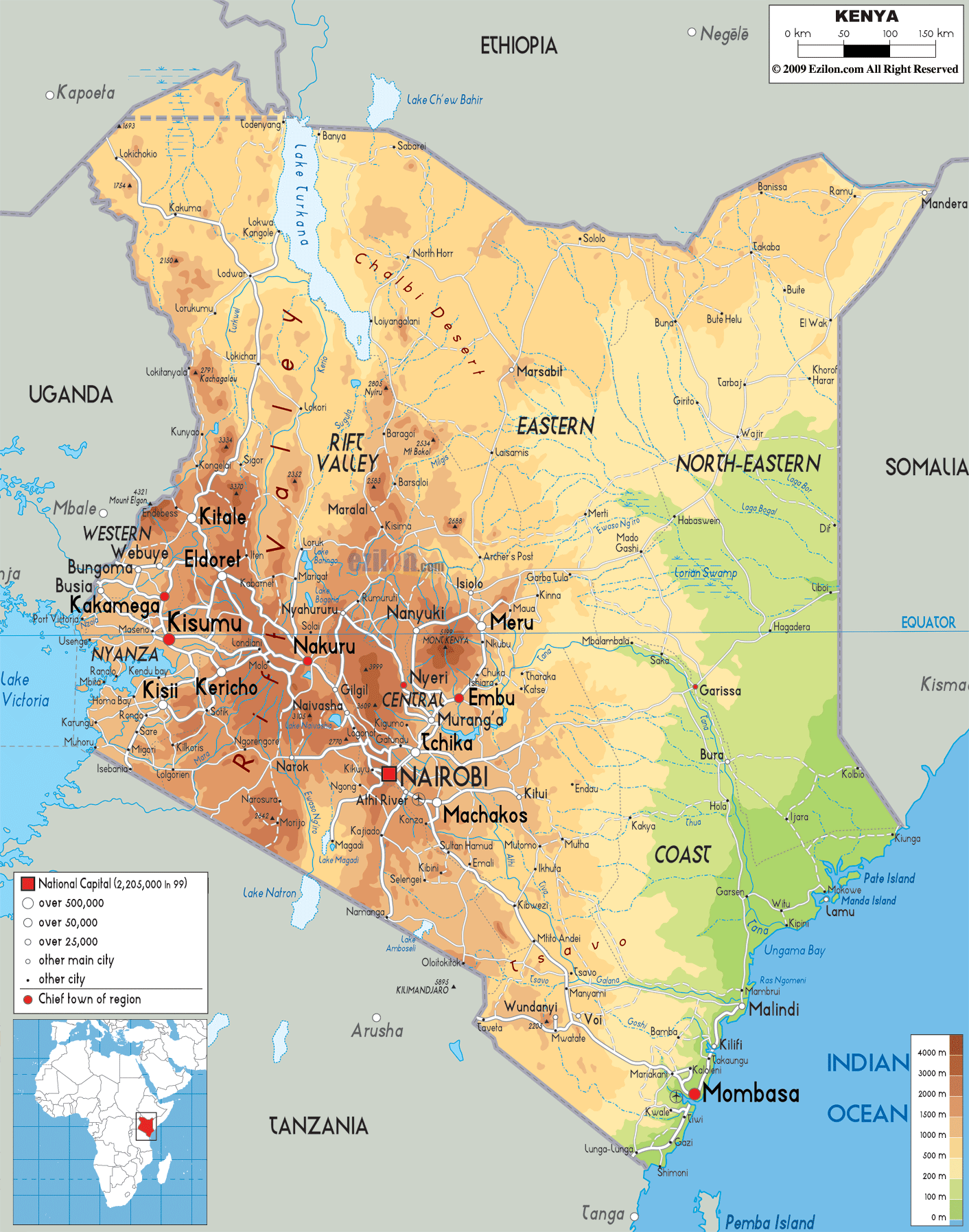
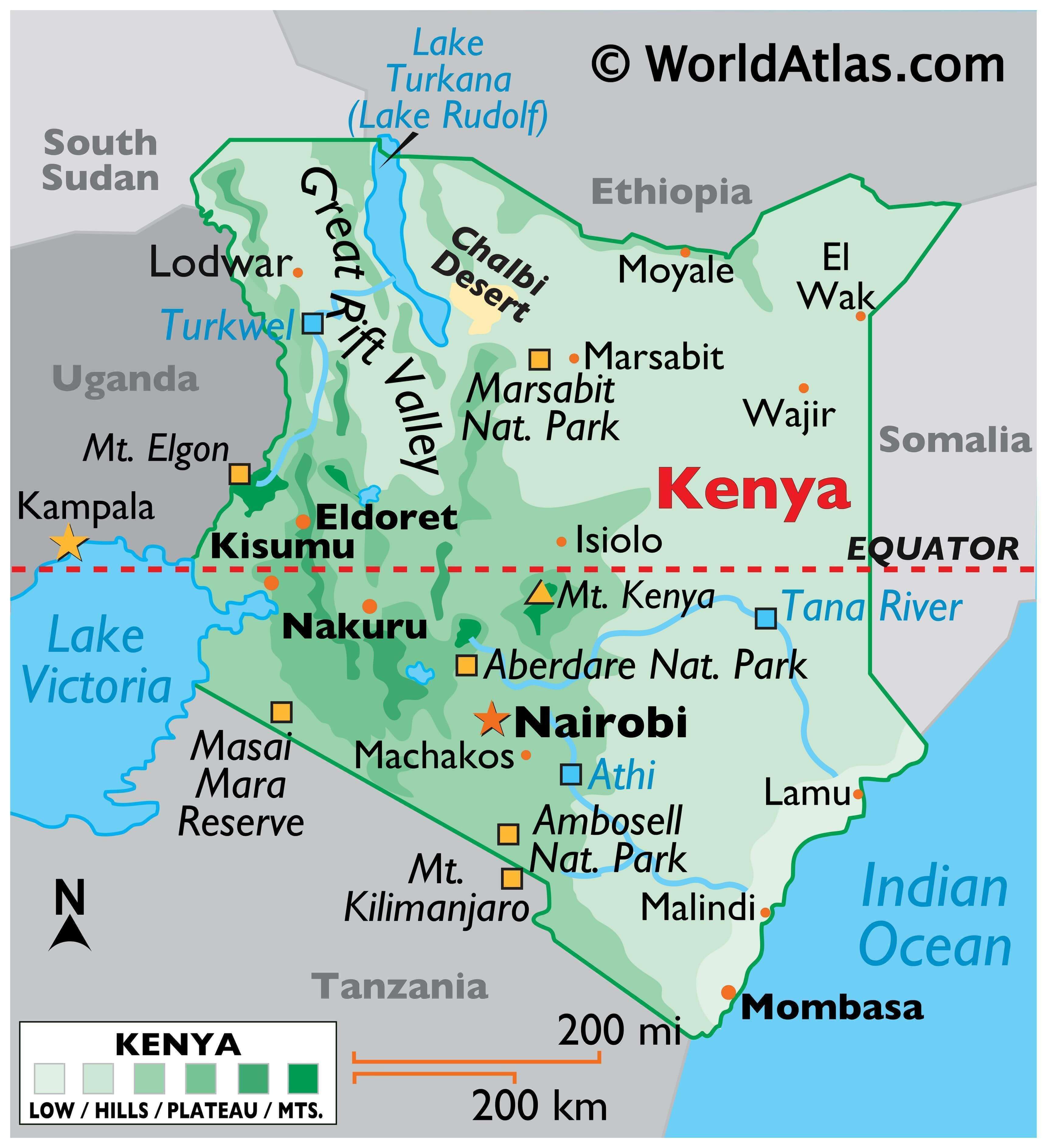
From its Indian Ocean coastline, Kenya’s flat land rises into central highlands. Those highlands are the site of the country’s highest point; Mount Kenya, standing at 5,199 m. It has been marked on the physical map above.
As shown on the map, the Kenyan highlands are bisected by the Great Rift Valley; a valley that divides Kenya down the length of the entire country. It contains all but uninhabitable desert, flat arid plains, steep cliffs and slopes, and in some areas, very fertile farmland.
In the Rift Valley, there are some active and semi-active volcanoes, along with numerous hot springs. Also found in the valley are a string of alkaline lakes including Lake Turkana (formerly Lake Rudolf), the world’s largest permanent desert lake and the world’s largest alkaline lake.
Additional lakes across the valley include Lake Baringo, Lake Bogoria, Lake Nakuru, Lake Elementaita, Lake Naivasha, and Lake Magadi in the far south.
In the far north, Chalbi Desert (marked on the map), on the edge of Lake Turkana, is Kenya’s only true desert. Surrounded by volcanoes and ancient lava flows, it’s the hottest and most arid region in the country.
As for rivers, the 440-mile Tana River is the longest in Kenya. The river rises in the Aberdare Mountains to the west of Nyeri, then eventually drains into the Indian Ocean at Formosa Bay.
| Flag: |  |
|---|---|
| Legal Name: | Republic of Kenya |
| Capital Value: | Nairobi |
| Official languages: |
|
| Demonym(s): | Kenyan |
| Government: | Unitary presidential republic |
| Legislature: | Parliament |
| Total Area: | 580,367 km² |
| Land Area: | 569,140 km² |
| Water Area: | 11,227 km² |
| Population: | 52,573,973 |
| Density: | 78/km (202.0/sq mi) (124th) |
| GDP: | $95.50 Billion |
| GDP Per Capita: | $1,816.55 |
| Currency Value: | Kenyan shillings (KES) |
| Driving side: | left |
| Calling code: | +254 |
| Internet TLD: | .ke |
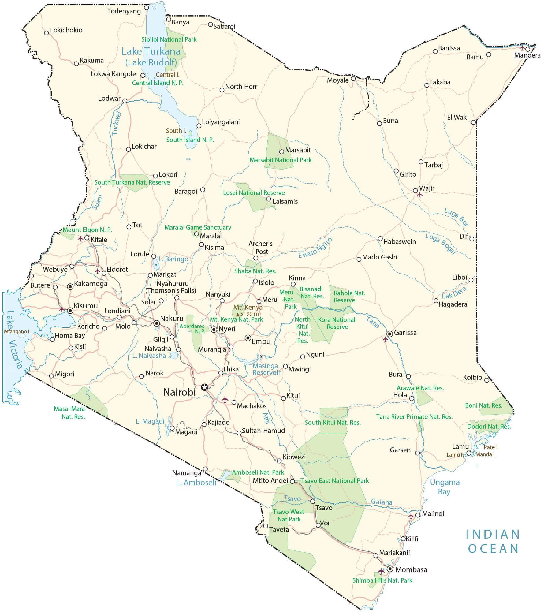
Explore the diverse landscape of Kenya with this interactive map! From its lush savannas to its majestic mountain highlands, take a virtual tour of the country’s natural wonders. See the Great Rift Valley, the country’s many lakes, and its many cities and towns. Zoom in to view the highways and rivers, or explore satellite images of the area.
Online Interactive Political Map
Click on ![]() to view map in "full screen" mode.
to view map in "full screen" mode.
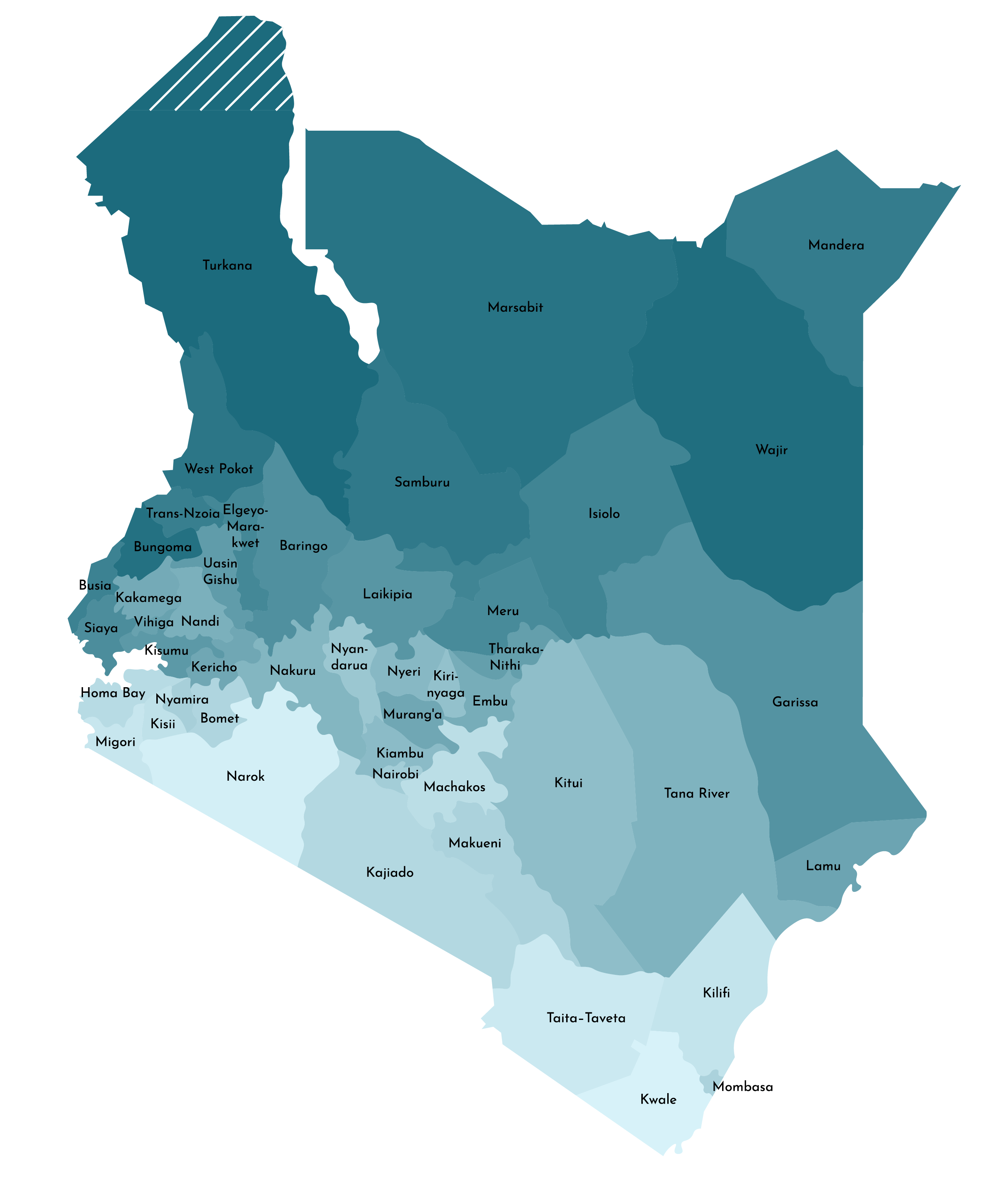
Kenya is divided into 47 counties. In alphabetical order, they are: Baringo, Bomet, Bungoma, Busia, Elgeyo/Marakwet, Embu, Garissa, Homa Bay, Isiolo, Kajiado, Kakamega, Kericho, Kiambu, Kilifi, Kirinyaga, Kisii, Kisumu, Kitui, Kwale, Laikipia, Lamu, Machakos, Makueni, Mandera, Marsabit, Meru, Migori, Mombasa, Murang’a, Nairobi City, Nakuru, Nandi, Narok, Nyamira, Nyandarua, Nyeri, Samburu, Siaya, Taita/Taveta, Tana River, Tharaka-Nithi, Trans Nzoia, Turkana, Uasin Gishu, Vihiga, Wajir, and West Pokot.
With an area of 71,597.8 sq. km, Turkana is the largest county in Kenya. Nairobi which is the national capital city is the most populous one.
Location Maps
Where is Kenya?
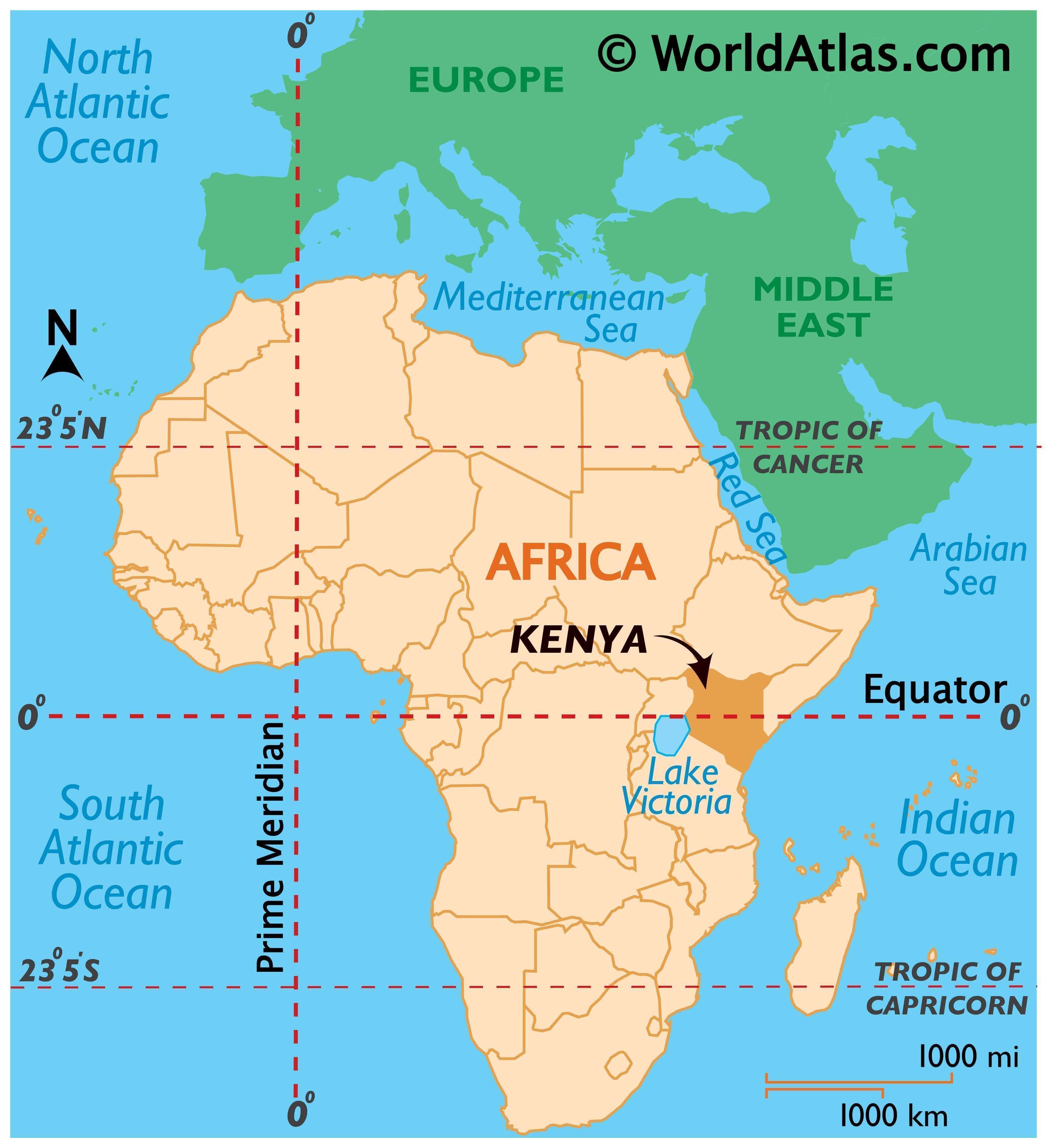
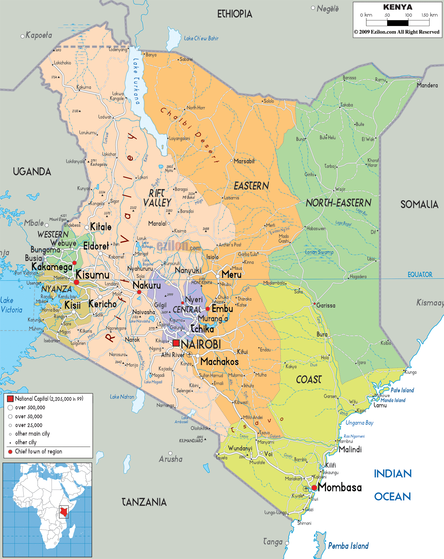
Kenya is a beautiful African country located on the eastern coastline of the Indian Ocean, between 5°N and 5°S latitudes. It is bordered by Tanzania to the south, Uganda to the west, South Sudan to the northwest, Ethiopia to the north, and Somalia to the northeast. Nairobi is the capital and largest city of Kenya, while other major cities include Mombasa, Nakuru, and Eldoret. This country is known for its stunning landscapes, savannas, wildebeest migration, Lakelands, and the Great Rift Valley.
High Definition Political Map of Kenya
Physical Map of Kenya
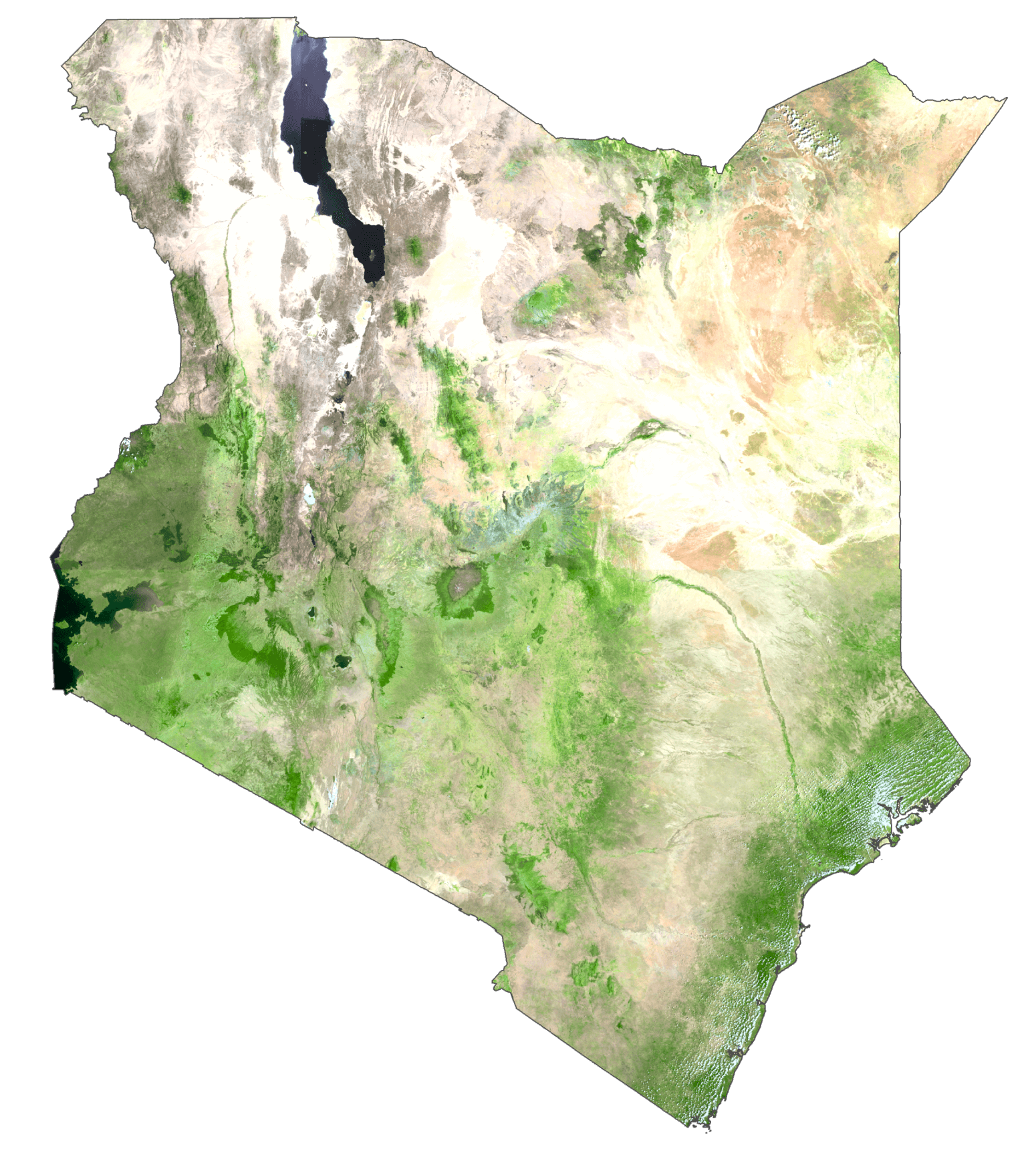
Kenya Satellite Map
Elevation Map