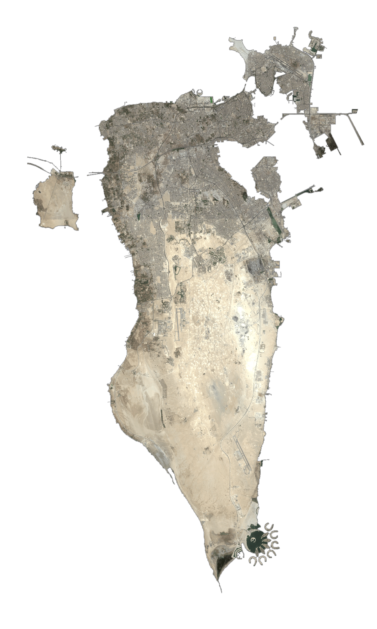
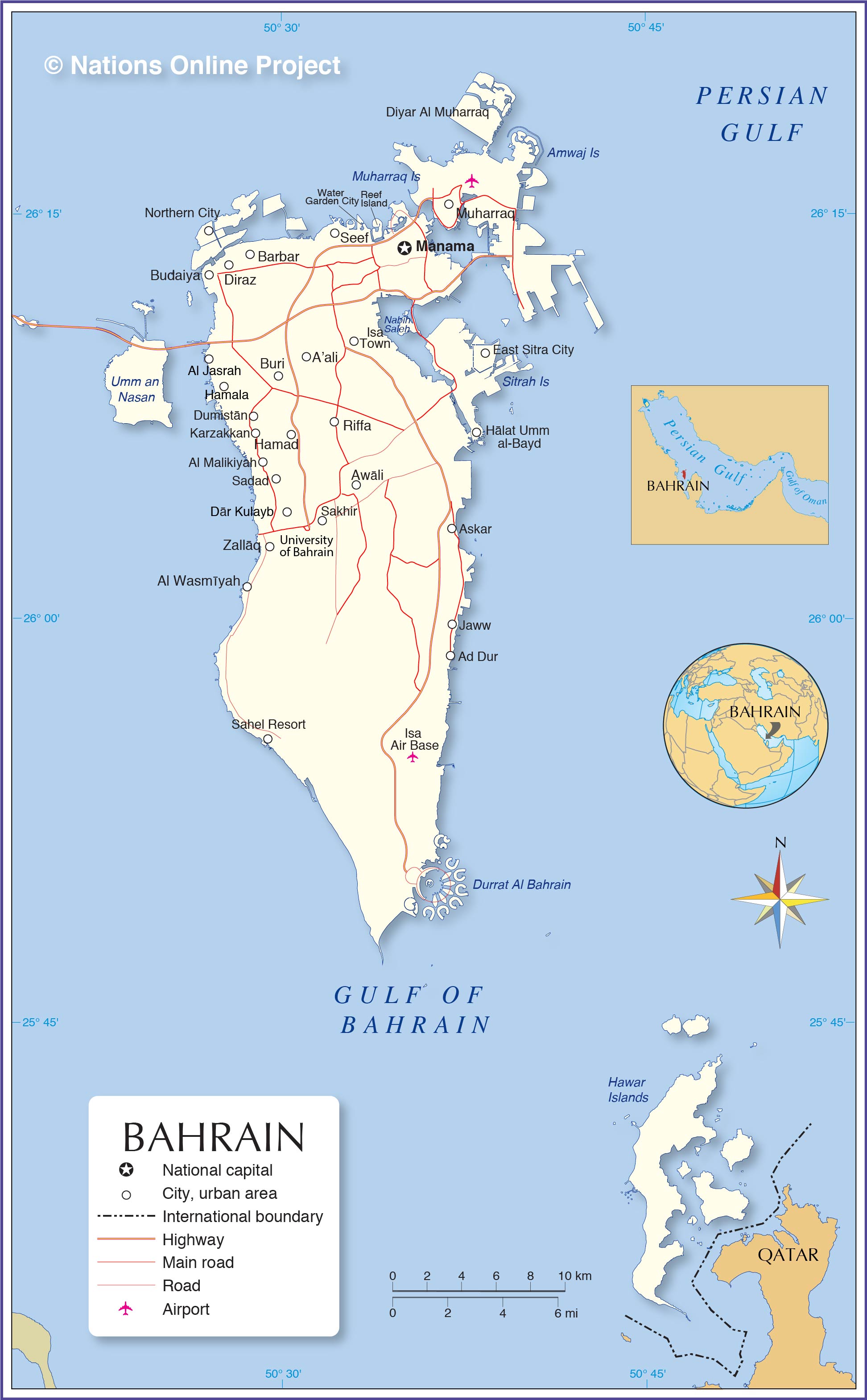
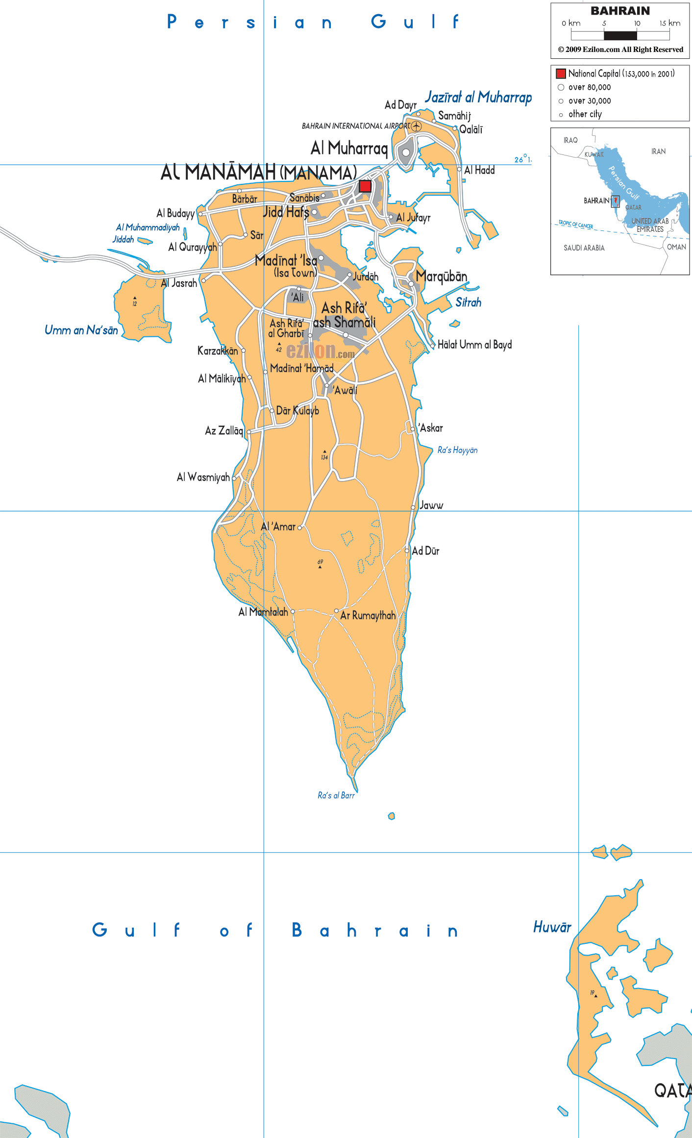
Bahrain is an archipelagic nation with a total territory of around 780 sq. km in the Persian Gulf. The main island of Al Bahrayn accounts for about 78% of the country’s territory. Many important petroleum fields of the Middle East surround this island. 33 additional islands are also part of the country.
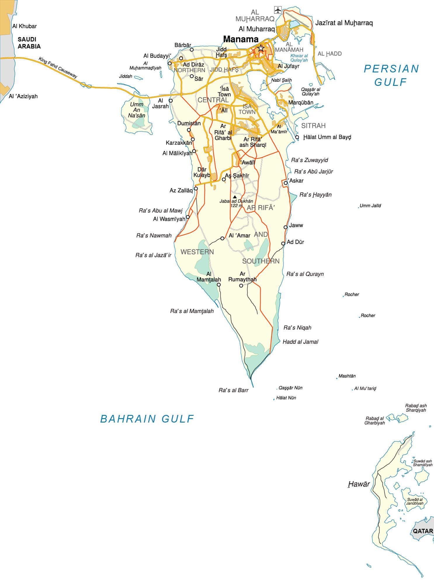
As observed on the physical map of Bahrain above, nearly 92% of Bahrain is a desert with low-lying rocky and sandy plains. Coastal salt marshes are common in the central and southern reaches, and there are no significant rivers or lakes. The Persian Gulf is the lowest point of the country (0 m) and extensive coral reefs cover the northern part of the island.
Within the interior of Bahrain, there sits an escarpment named Jabal ad Dukham, and it is the highest point of the country, reaching 400 ft. (122 m). Its position has been marked on the map by a yellow upright triangle.
In addition to the various smaller islands within the archipelago, the remaining islands of Bahrain include Umm as Sabaan, Nabih Saleh, and Jidda Island. Freshwater springs and date palm groves dot the landscape of Nabih Saleh, while Jidda’s rocky terrain plays host to a state prison converted into a holiday resort. The remaining uninhabited islands serve as nesting sites for migratory birds.
| Flag: |  |
|---|---|
| Legal Name: | Kingdom of Bahrain |
| Capital Value: | Manama |
| Largest City: |
Al-Manamah (Manama) (634,508) |
| Official languages: | Arabic |
| Demonym(s): | Bahraini |
| Government: | Unitary Islamic parliamentary semi-constitutional monarchy |
| Legislature: | National Assembly |
| Total Area: | 760 km² |
| Land Area: | 760 km² |
| Population: | 1,641,172 |
| Density: | 1,864/km (4,827.7/sq mi) (6th) |
| GDP: | $38.57 Billion |
| GDP Per Capita: | $23,503.98 |
| Currency Value: | Bahraini dinars (BHD) |
| Driving side: | right |
| Calling code: | +973 |
| Internet TLD: | .bh |
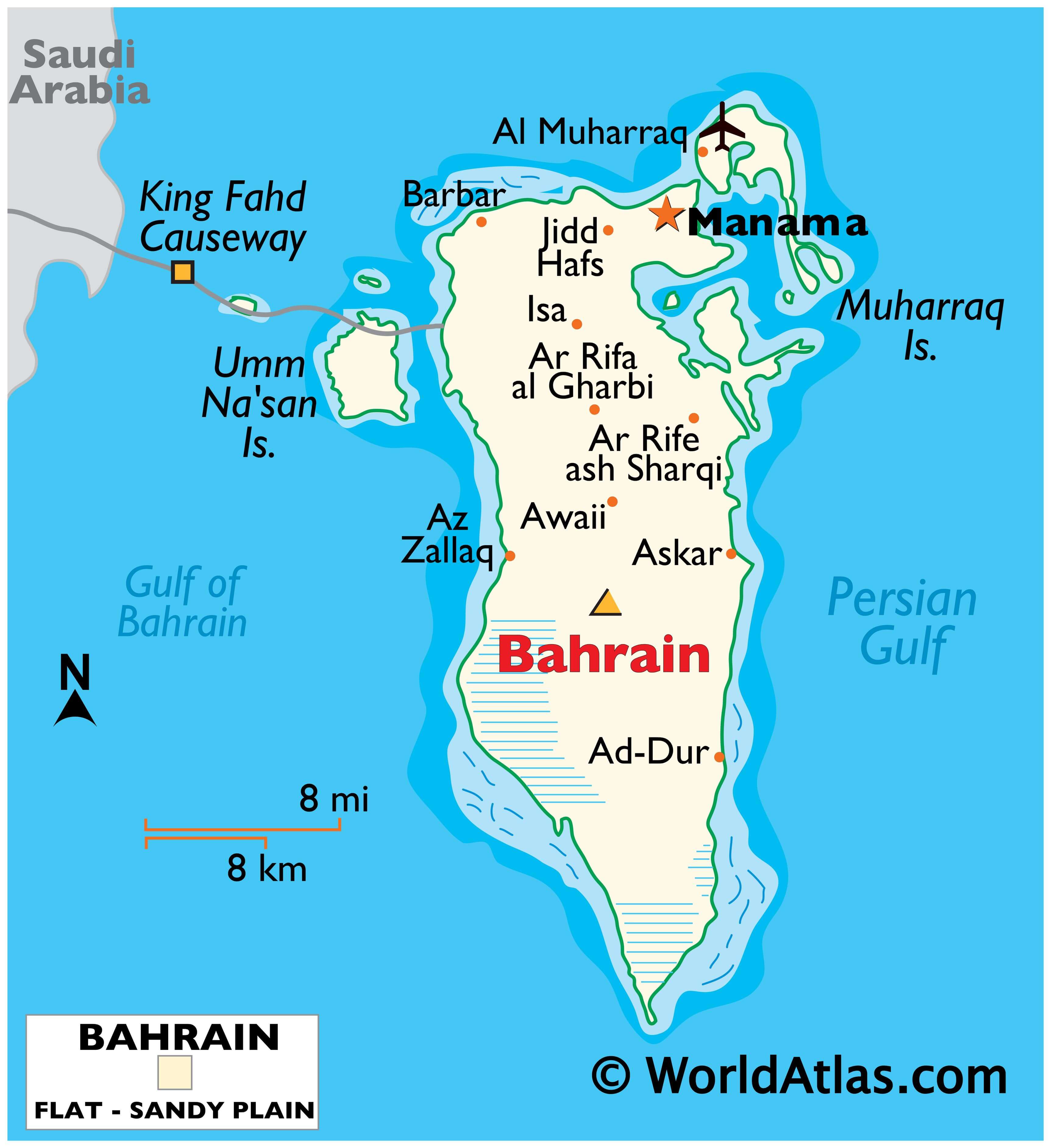
Discover the beauty of Bahrain with this interactive map. It displays populated places, regions, and major roads like the King Fahd Causeway. Bahrain’s neighboring countries of Qatar and Saudi Arabia are also visible. Plus, you can view a satellite map of the entire country.
Online Interactive Political Map
Click on ![]() to view map in "full screen" mode.
to view map in "full screen" mode.
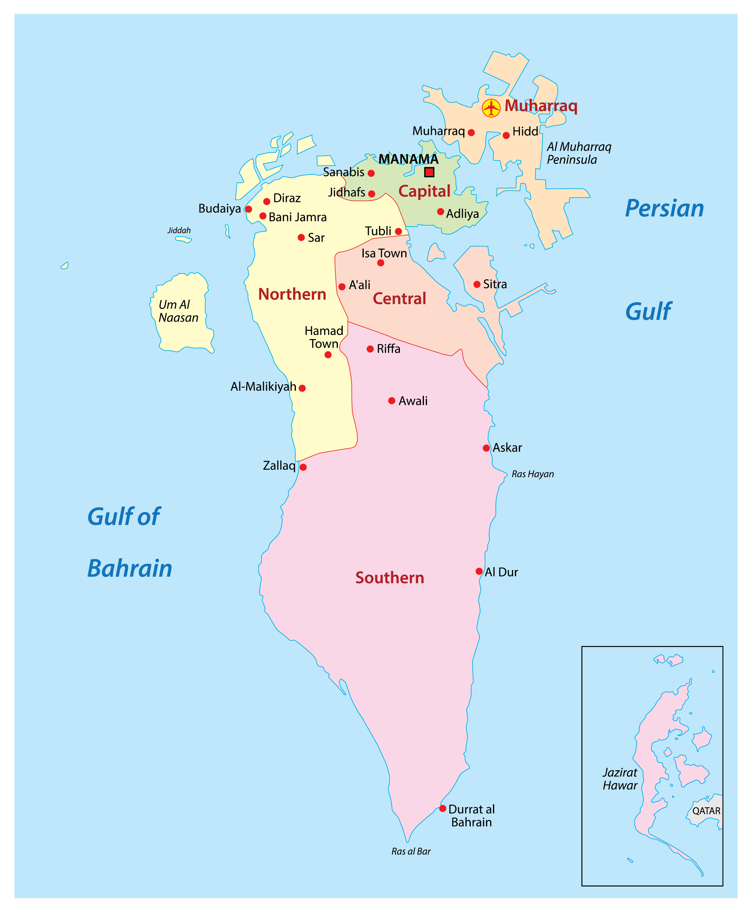
Bahrain (officially, The Kingdom of Bahrain) is divided into 4 governorates (muhafazat, sing. muhafazah). In alphabetical order, these governorates are: Asimah (capital), Janubiyah (southern), Muharraq and Shamaliyah (northern).
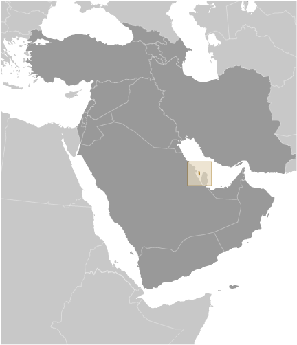
With an area of 780 sq. km, Bahrain is the third-smallest nation in Asia. Located at the north-eastern edge of Bahrain Island in the Persian Gulf, is Manama – the capital and largest city of Bahrain. Manama is the country’s chief port and also an important economic and commercial center in the Middle East.
Location Maps
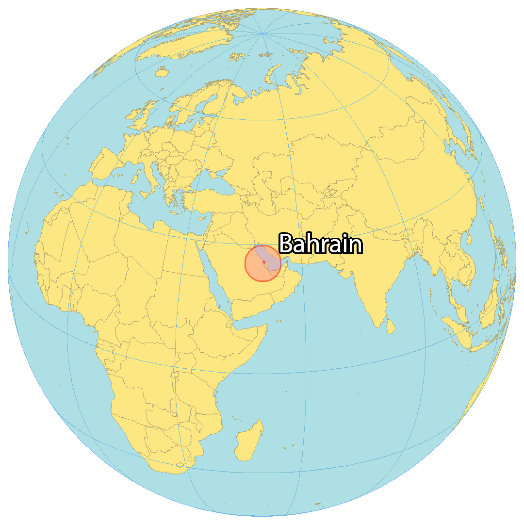
Where is Bahrain?
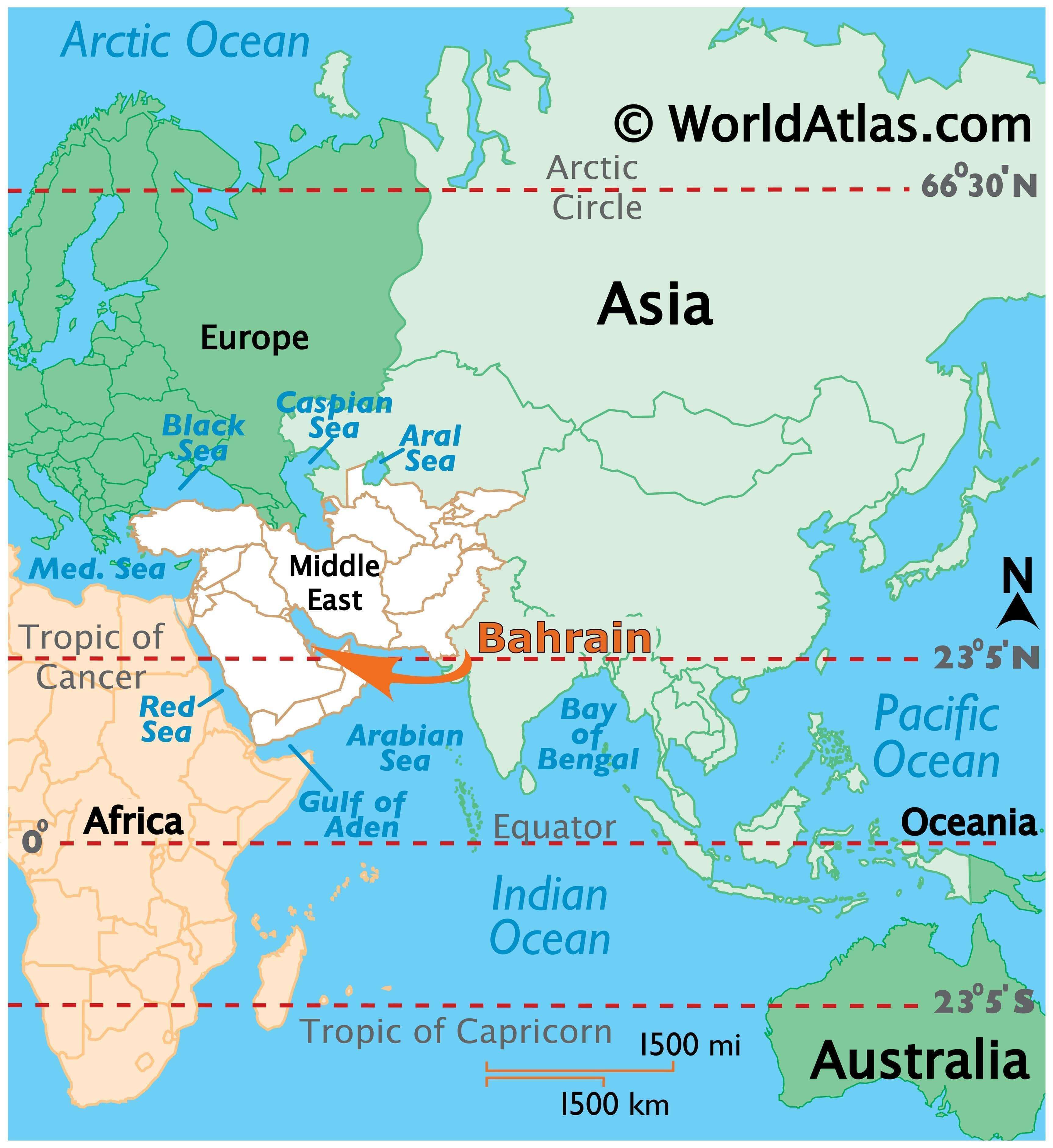
Bahrain is an island located in the Persian Gulf, east of Qatar and west of Saudi Arabia. At 760 square kilometers (290 square miles), it is about 3.5 times the size of Washington, DC. The Bahrain archipelago consists of 70 natural islands and 33 artificial islands, with Bahrain Island making up around 83 percent of the country’s area. The King Fahd Causeway connects Bahrain to Saudi Arabia.
High Definition Political Map of Bahrain
Physical Map of Bahrain

Bahrain Satellite Map