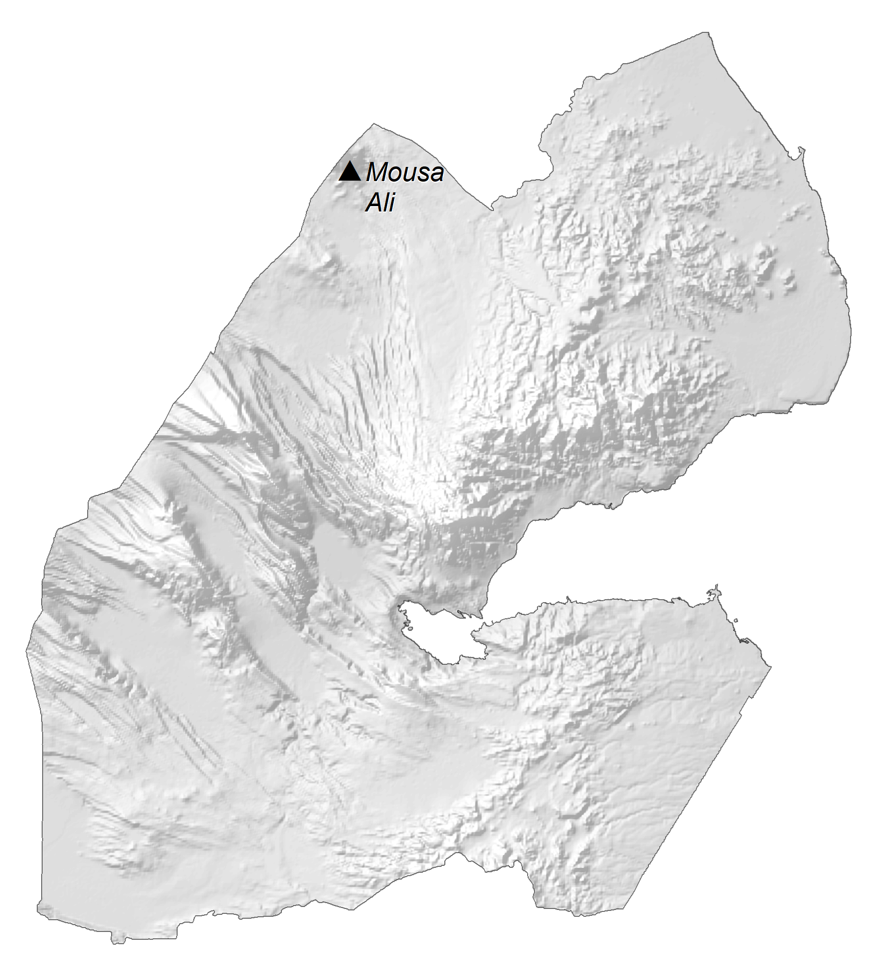
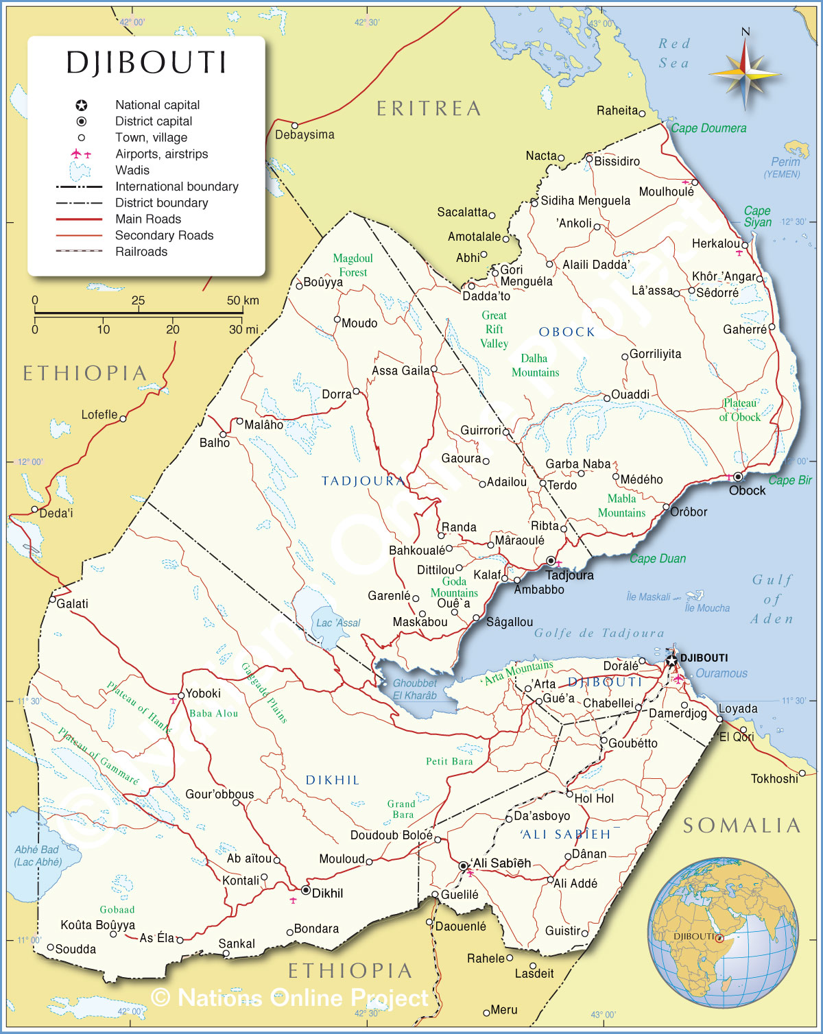
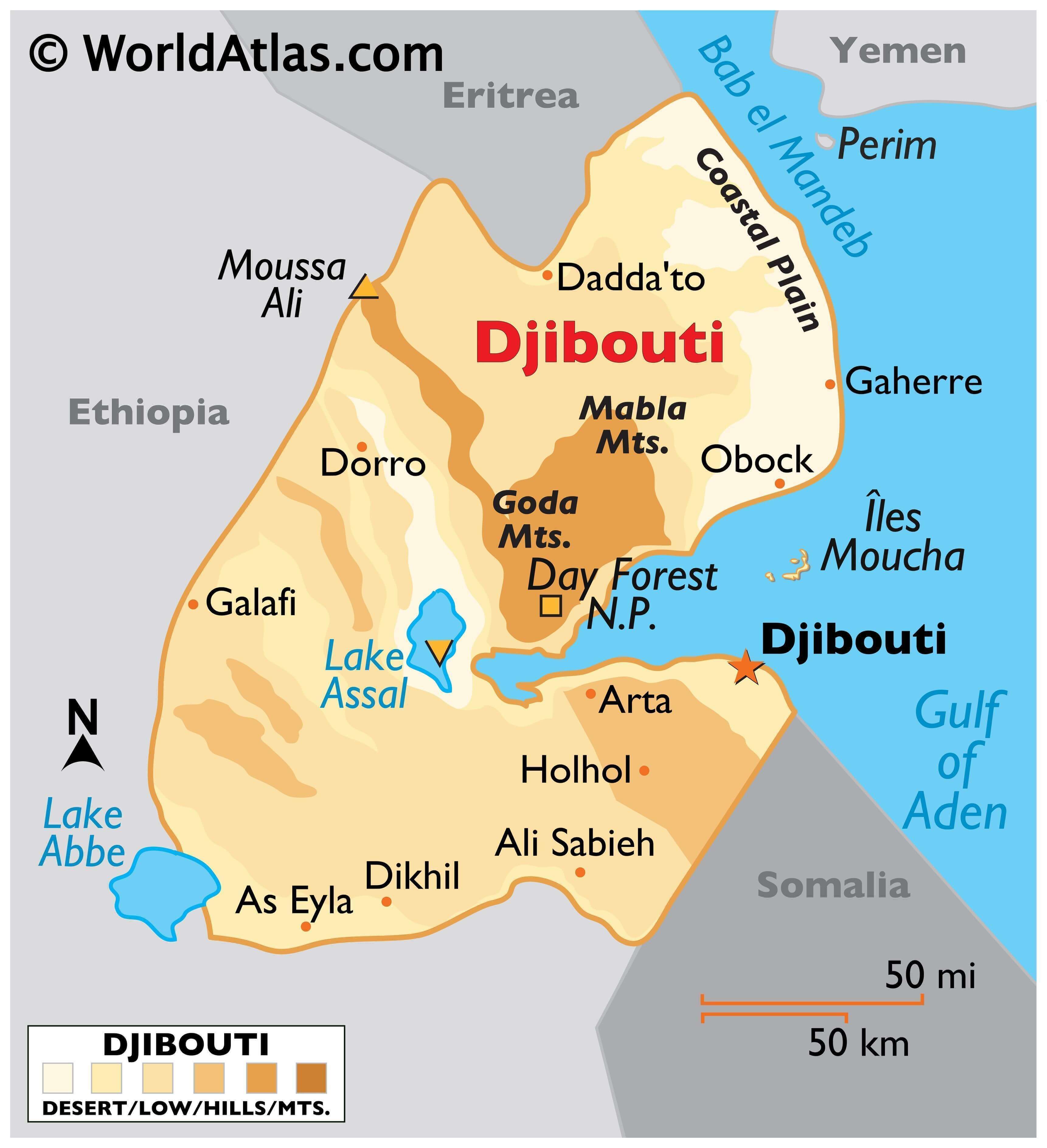
Djibouti is an East African country with an area of 23,200 sq. km. As observed on the map, most of the country is a desert wasteland. From the narrow coastal plain of the country to the north, the land gradually rises in elevation to form a series of mountains. Some of these like the Mabla Mountains and Goda Mountains have been marked on the map. The highest peak of the country marked on the map with an upright yellow triangle is the 2,063 m high stratovolcano of Mousa Ali to the northeast.
Central and south Djibouti is covered by a stony desert and scattered volcanic plateaus crisscrossed by deep, time-worn troughs, some with shallow salt water lakes.
The lowest point of the country is Lake Assal at 155 m. Lake Assal, also the lowest point of Africa, is located in central-eastern Djibouti and is a crater lake whose salinity levels are 10x that of the sea. Lake Assal is one of the most saline bodies of water, after Don Juan Pond, and is the world’s largest salt reserve.
Another important lake, Lake Abbe, can be observed on the map on the southwestern border of Djibouti with Ethiopia. No permanent rivers flow in the country but some rivers flowing underground are known.
| Flag: |  |
|---|---|
| Legal Name: | Republic of Djibouti |
| Capital Value: | Djibouti |
| Largest City: |
Djibouti (576,157) |
| Official languages: |
|
| Demonym(s): | Djiboutian |
| Government: | Unitary presidential republic under a hereditary dictatorship |
| Legislature: | National Assembly |
| Total Area: | 23,200 km² |
| Land Area: | 23,180 km² |
| Water Area: | 20 km² |
| Population: | 973,560 |
| Density: | 37.2/km (96.3/sq mi) (168th) |
| GDP: | $3.32 Billion |
| GDP Per Capita: | $3,408.85 |
| Currency Value: | Djiboutian francs (DJF) |
| Driving side: | right |
| Calling code: | +253 |
| Internet TLD: | .dj |
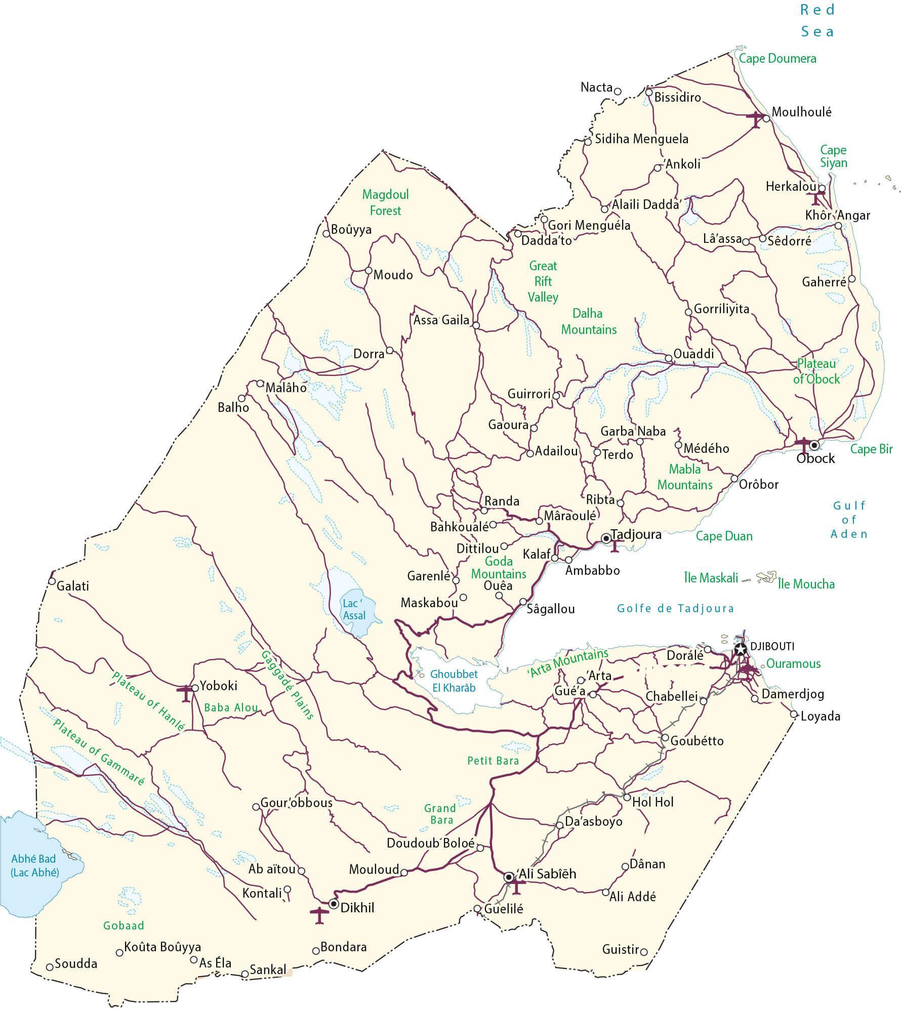
Explore the captivating terrain of Djibouti with this detailed map. From the capital city of Djibouti to the remote mountain towns, this map reveals the beauty of the African nation. See the roads that connect the cities, the mountains that tower over the landscape, and the satellite imagery that showcases the country’s unique topography. Discover the hidden treasures of Djibouti with this map.
Online Interactive Political Map
Click on ![]() to view map in "full screen" mode.
to view map in "full screen" mode.
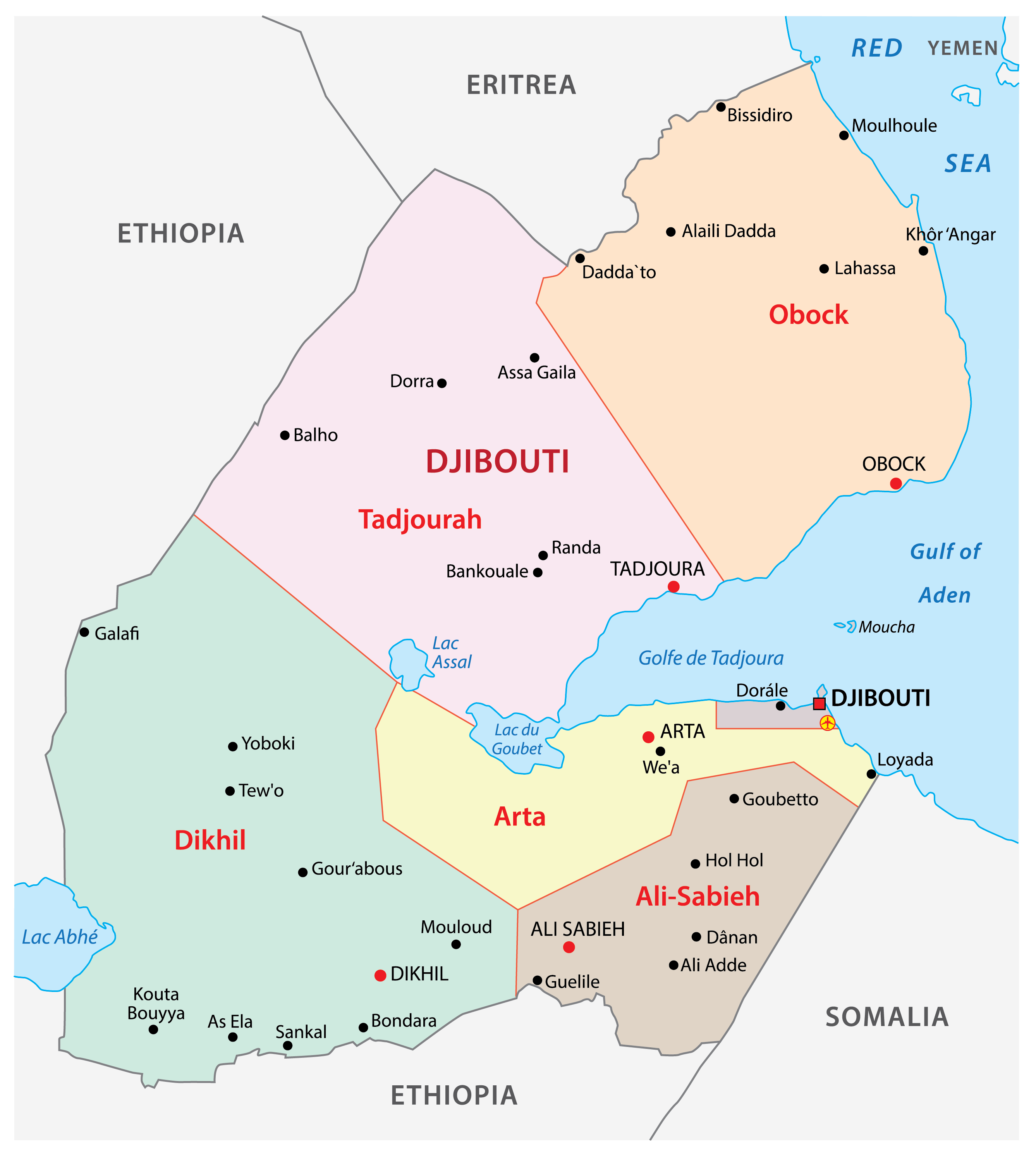
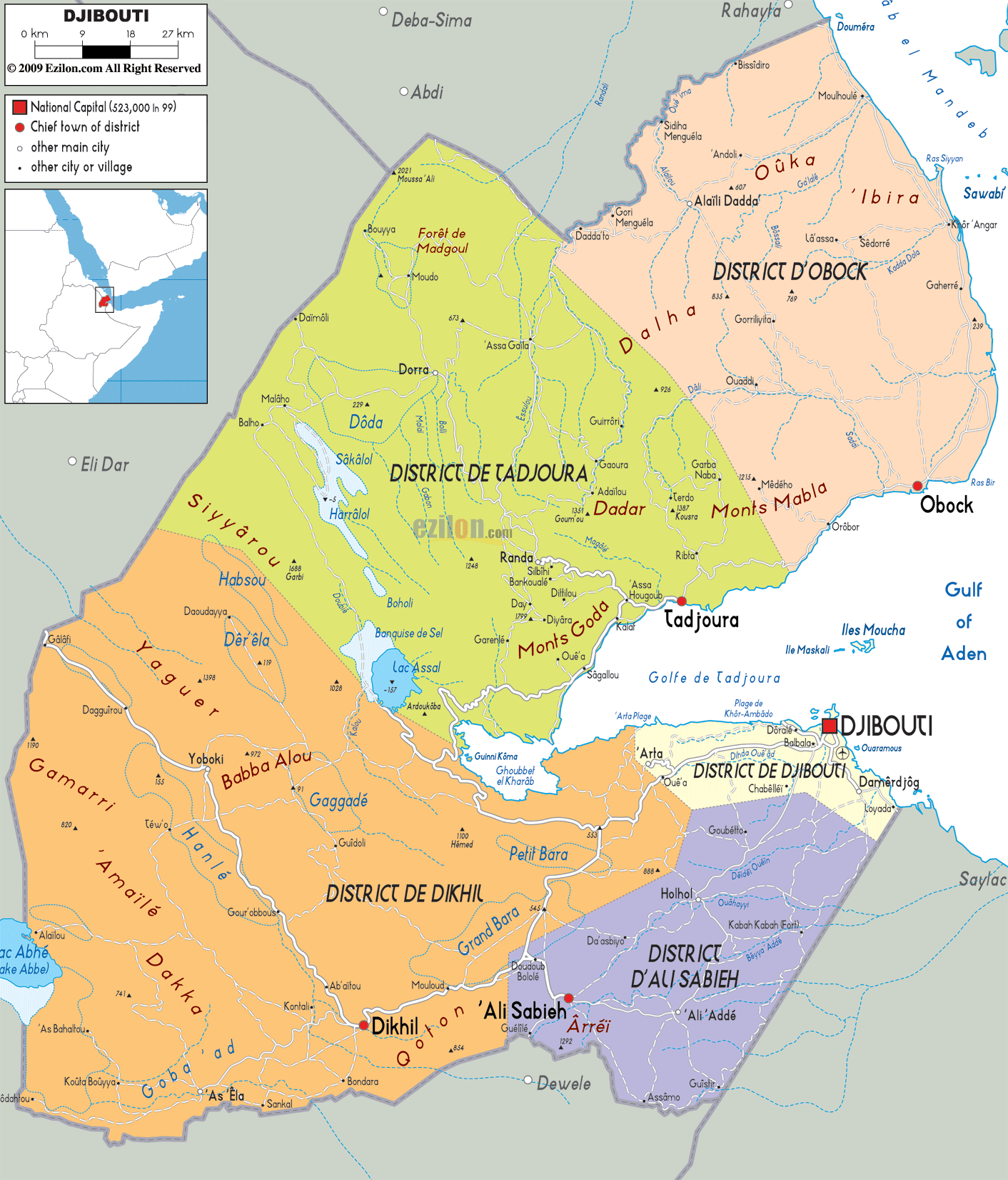
Djibouti is divided into 6 regions. These are Ali Sabieh, Arta, Dikhil, Djibouti, Obock, and Tadjourah. These regions are further subdivided into 20 administrative districts.
With an area of 7,100 sq. km, Tadjourah is the largest region by area. Djibouti Region is the smallest by area and the most populous one. Djibouti is the capital city of the country.
Location Maps
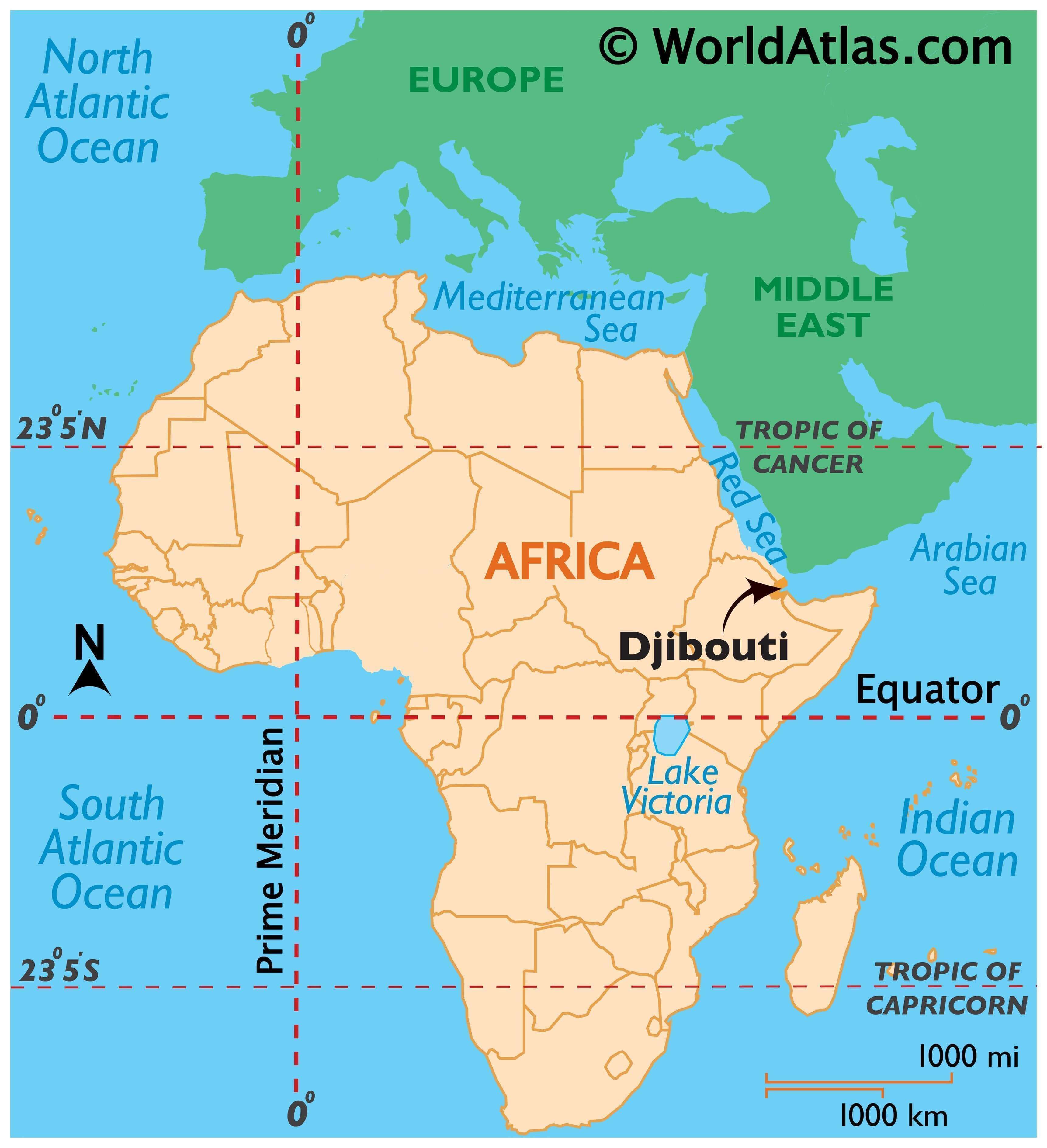
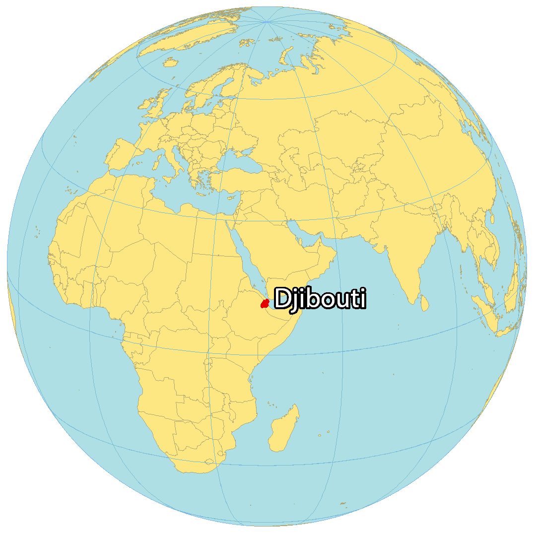
Where is Djibouti?
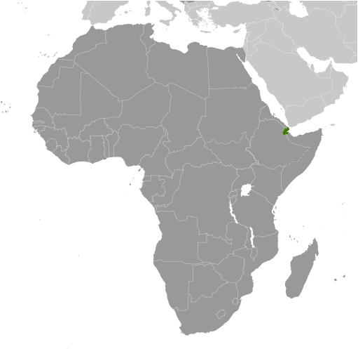
Djibouti lies on the Horn of Africa along the Gulf of Aden and Bab al-Mandab Strait. It shares its borders with three other countries in Eastern Africa – Eritrea to the north, Ethiopia to the west, and Somalia to the southeast. Djibouti City is the capital and largest city with more than half of its population living there. The country is the third smallest on the continent, occupying an area of 23,200 square kilometers (8,958 sq mi). This makes it larger than Eswatini, but smaller than Rwanda.
High Definition Political Map of Djibouti
Physical Map of Djibouti

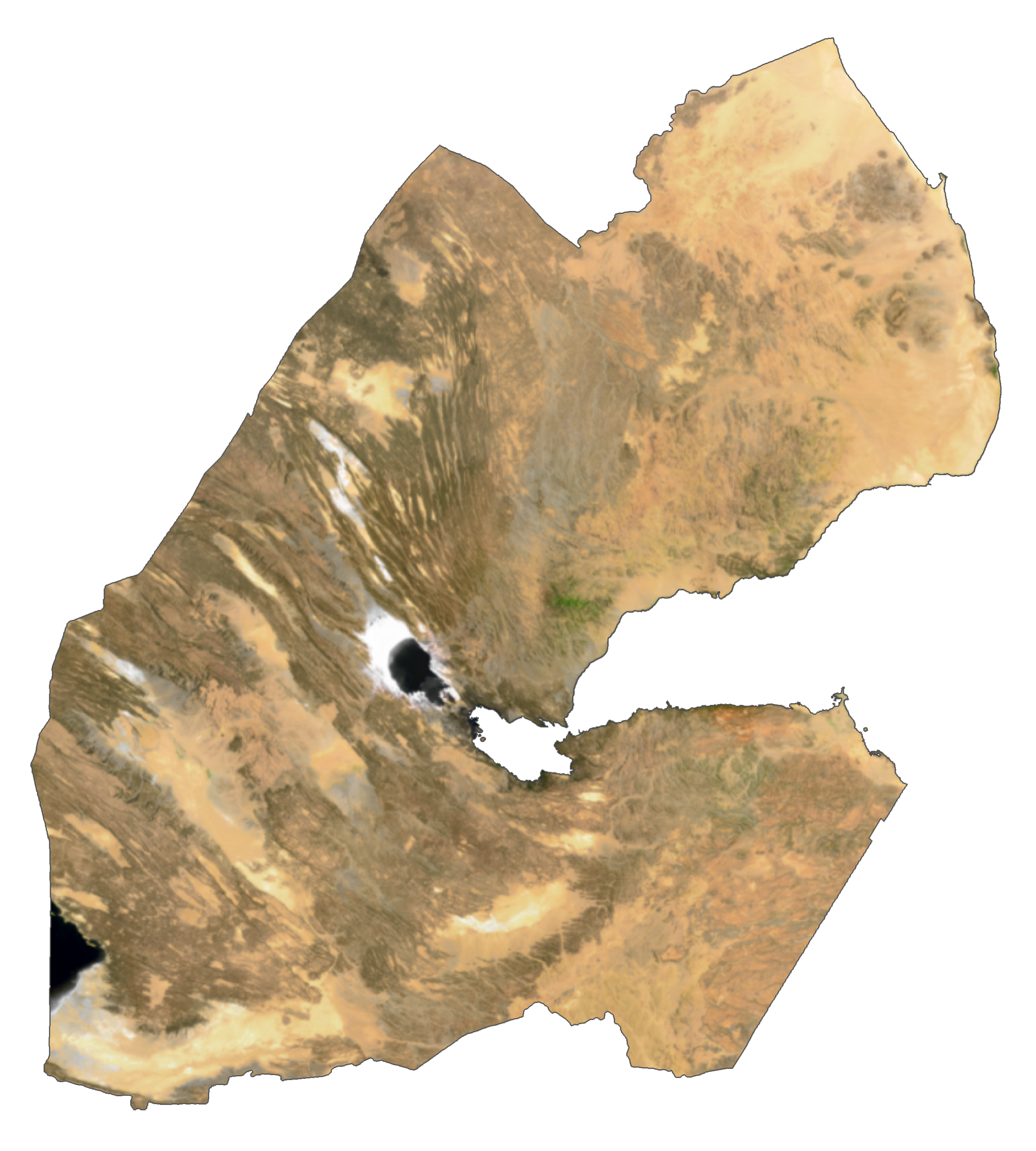
Djibouti Satellite Map
Elevation Map